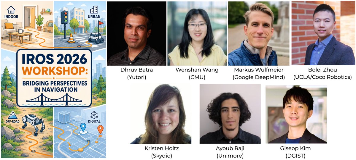
This year:
🎤 Speakers from academia & industry
🧠 Foundation models, VLAs & emerging directions in social navigation
🤖 Live Robot Happy Hour
🏆 Awards & prizes for selected/finalist papers
📄 Short papers: 4–6 pages, IEEE format
📅 Notification: Sept. 21
🤖 Only a few weeks to go until the 5th Workshop on Social Robot Navigation at #IROS2026!
📢 Paper deadline extended to Sept. 15!
If you’re working on social navigation, HRI, embodied AI, robot learning, or related topics, we’d love to see your work!
🔗 https://t.co/LSFeQVFKKU
What can different navigation domains (e.g. offroad, AV, humanoid, aerial, quadruped, digital) learn from each other?
🎉 Excited to announce the Workshop on “Bridging Perspectives in Navigation” @ IROS 2026 (Pittsburgh, 9/27/2026).
Submit your paper by August 21! 👇
📢 We are proud to share that one paper led by our PhD student Jing Liang @Jing53582 was accepted by #ISER2025!
MOSU: Autonomous Long-range Robot Navigation with Multi-modal Scene Understanding
Paper: https://t.co/i5En43AUob
Authors: Jing Liang @Jing53582, Kasun Weerakoon @kaweer_, Daeun Song, Senthurbavan Kirubaharan, Xuesu Xiao @XuesuXiao, and Dinesh Manocha @dmanocha
MOSU is a multimodal autonomous navigation system that enhances outdoor robot navigation by integrating geometric, semantic, and contextual cues, using GPS/QGIS for global planning and LiDAR, image segmentation, and vision-language models for socially aware, fine-grained local trajectory generation, achieving a 10% improvement in traversability on the GND benchmark.
📍 We’re going to present GND at ICRA 2025, Session [TuBT22] Learning for Navigation, on Tuesday.
We’d love to connect and hear your ideas!
#ICRA2025#roboticscommunity#GND#navigation
Searching for a dataset to train robots for outdoor navigation?
We introduce GND, built for long-range navigation of mobile robots in complex outdoor environments.
🔗https://t.co/rdOqYkSSd1
#ICRA2025#robotics#dataset
What can you do with GND?
🔗https://t.co/PEyC1srAvo
We ran 3 experiments to showcase its potential:
1⃣Local-to-global correlation for map-based planning
2⃣Place recognition using 360° RGB images
3⃣Learning-based mapless planning with trajectory generation