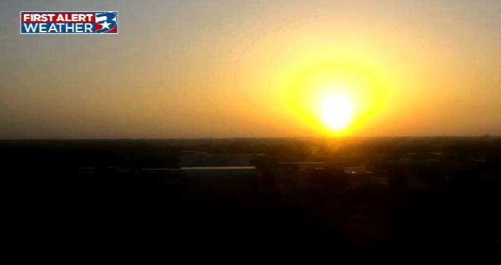
Today's reaching for the hottest temperature of 2026 (so far) with a forecasted high of 98. Along with the heat comes hazy skies as Saharan dust gets funneled in from the Gulf. Rain chances are on the rise for this weekend, and continue to elevate early next week.
We are gearing up for a steamy and summer-like Independence Day Weekend!
Highs will settle into the upper 90s with heat indices just shy of heat advisory criteria, with an isolated rain chance.
By fireworks time, rain will fizzle, but it will still be warm! Stay cool!
Our classic summertime weather pattern takes us through the holiday weekend: Heat and humidity for all, with an isolated shower for a few.
Most will stay dry, but afternoon showers could delay some outdoor activities.
As highs climb to the upper 90s, do what you can to stay cool!
Some of us managed to find a quick splash of rain yesterday afternoon! That may be a bit more difficult to do over the next couple of days.
Rain chances remain, but are much more isolated, meaning the heat will be the focus of the forecast.
Stay cool out there!
Watching for our best rain chance of the week today.
The rain chances step back, but remain present for the holiday weekend. We'll turn up the heat back to the upper 90s, with triple-digit heat indices likely.
With many planning to spend time outdoors, remember to stay hydrated!
If you have missed out on rain the last couple of afternoons, you have another chance today. In fact, today is the best chance for scattered showers as we find a small increase in moisture levels.
This will be enough to keep highs in the low 90s before warming into the weekend.
Slightly stepping up the rain chances into July.
Coverage will be isolated to scattered, with the best chance on Thursday. The biggest impact will be the occasional lightning strike that could pause some outdoor plans.
Beyond the rain, typical summer heat continues.
Some of us managed to find a few showers yesterday afternoon. We'll try to find some more isolated activity later today.
With most staying dry, the main focus of the forecast is still the heat. Afternoon highs settle into the mid 90s with the heat index 102° to 106°.
Plenty of heat to wrap up June with more on the way heading into July!
Afternoon highs will settle into the mid and upper 90s, with feels-like temperatures hovering between 102° and 107°.
An isolated shower or two is possible each afternoon through the holiday weekend.
Keeping the heat and adding in rain chances!
Highs will stay in the mid/upper 90s, with feels-like temperatures in the triple digits. As the "heat dome" shifts further east, more rain-making moisture moves in, returning daily afternoon showers through the holiday weekend.
Some lingering haze and plenty of heat for the final day of June.
Morning clouds will give way to mostly sunny skies, as highs climb to the mid-90s. Heat index values will surge into the triple digits.
Rain chances are LOW today, but an isolated shower is possible.
Sticking with the heat and the haze as we start the week! Air quality will take a small hit this afternoon, but we will clear things up pretty quickly through the week.
More humid air will return as we step into July and eventually help to fuel isolated rain chances.
A hot and hazy start to the week, but rain chances return soon.
Saharan dust will find its highest concentration today before tapering off. Highs will remain in the mid- to upper 90s throughout the week.
As the dust clears, rain-making moisture will take its place.
It is a warm morning to kick off the final days of June!
Things will quickly turn hot and hazy as Saharan dust moves in this afternoon. This is the thickest plume of the season so far, so air quality will take a small hit.
The haze will clear by midweek as rain chances return.
Looking at clearer skies to wrap up the week and start the weekend, but haze will return soon!
The large plume of Saharan haze moves in on Sunday. Until then, the weather stays consistent with muggy mornings and hot/humid afternoons.
Rain chances remain low, but return into July.
We are stepping into a very summer-like final weekend of June.
Temperatures will continue to warm gradually, with highs in the mid- to upper 90s. We'll pair that with a stronger southerly breeze.
Skies will stay clear until a large Saharan dust plume arrives Sunday-Monday.
After multiple mornings waking up to above-average temperatures and pre-sunrise heat indices, we are enjoying a cooler start this morning.
Some areas could also see some patchy fog, but sunshine will quickly take over. Highs will climb to the mid-90s again this afternoon.
We are keeping the forecast on repeat.
Muggy mornings, hot and humid afternoons, with limited rain chances the rest of the month.
While the ridge will shift over the next few days, we will still be under its influence, and it will help steer in our first batch of Saharan dust.
Another mild start, but if you're looking for a day to switch from iced coffee to hot, tomorrow may be your best bet.
Winds will lighten, allowing morning temperatures to fall into the low 70s.
High temperatures will continue to warm, returning to the upper 90s to close the month