The Geography and Map Division’s latest StoryMap explores the Hezeta-Bodega y Quadra Expedition of 1775, which yielded rare coastal charts that informed the early European understanding of the North American west coast!
Learn more in our blog: https://t.co/1F4KHFp3R8
The vast, rugged wilderness of Yellowstone National Park is captured in this sweeping 1895 panoramic map!
Take a closer look here: https://t.co/64MxI5I3qd
The Geography & Map Division's first-ever crowd-sourced transcription project is live!
Check out "The Atlantic Neptune: 18th Century Nautical Charts of North America" directly here: https://t.co/vkkWIXBCn8
Read all about it on our blog: https://t.co/Ml711BZGcJ
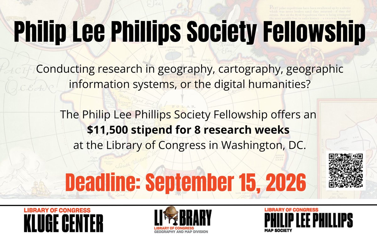
Interested in conducting research in the Geography & Map Division next year? Apply for our 2027 Philip Lee Phillips Fellowship by September 15th!
Full details are on our blog: https://t.co/hkuFF84qwu
Explore the peculiar geopolitics of condominiums (territories of shared sovereignty) through history in our latest blog post.
The full post is available here: https://t.co/9gDkVl5etp
Do you know where the coldest location on Earth is?
Check your knowledge in our latest blog post, "Extremities of the Earth: The Coldest Place on Earth."
The full post is available here: https://t.co/i2oGig1Id7
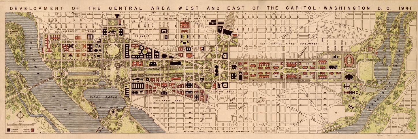
Join the Geography & Map Division online Tuesday, June 9, 2026 at 3:00pm (Eastern) to discover some of our many collection materials related to the 250th anniversary of the United States. Register here: https://t.co/NAsfaHKViS
This colorful 1831 map depicts the parishes of Rio De Janeiro, then the capital of the Empire of Brazil.
Take a closer look here: https://t.co/pURMnGSN5l
Learn all about Europe's struggle to correctly trace the delta of the Niger River in our recent blog post, "The Elusive Delta of the Niger River."
The blog post is available online in full here: https://t.co/8LykadchD2
Learn all about our 2026 Philip Lee Phillips Society Fellows and how to apply for the upcoming application cycle in our latest blog post.
Applications for 2027 are now open!
The full blog post is available here: https://t.co/hkuFF84qwu
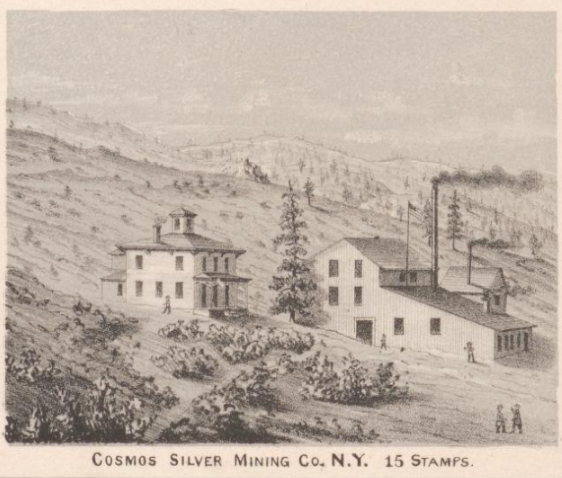
This panoramic map of Silver City in then-Idaho Territory was created by noted African-American lithographer Grafton Tyler Brown in 1866. The border features sketches of local mines and stamp mills.
See the full map online here: https://t.co/bvmWCuhXeX
If you're interested in maps depicting continental drift, we have the blog post for you!
"A Drifting World: The Supercontinent of Pangaea" is available to read in full on our Worlds Revealed blog: https://t.co/NTt0Du55HP
Join us online Tues April 14 at 3:00 for an intro to the map collections at the Library of Congress! This session will highlight a wide range of cartographic formats and subjects. The focus will be on resources available to all patrons.
Register here: https://t.co/bDtxAfkpPs
Join us online Tues April 14 at 3:00 for an intro to the map collections at the Library of Congress! This session will highlight a wide range of cartographic formats and subjects. The focus will be on resources available to all patrons.
Register here: https://t.co/bDtxAfkpPs
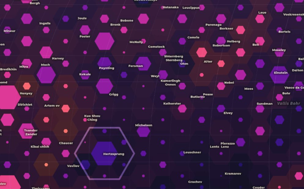
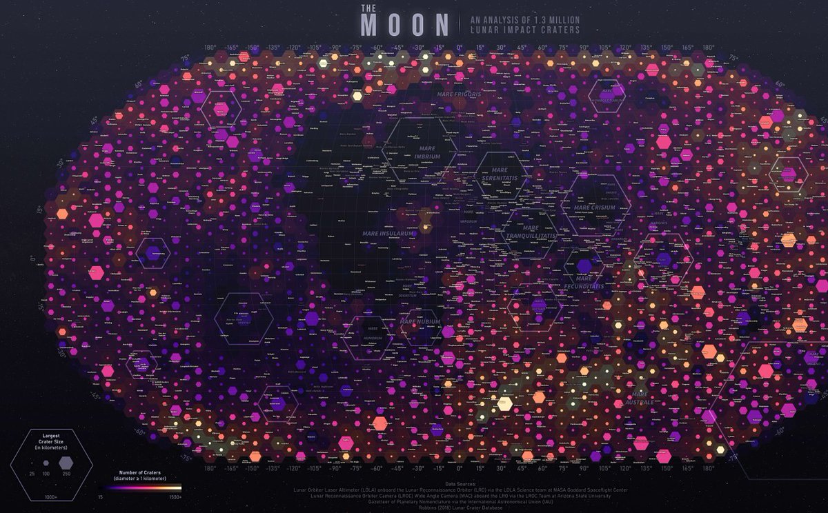
Interested in maps of the moon? Don't miss out on "The Moon : a visual analysis of 1.3 million lunar craters" created by cartographer Joshua Stevens in 2024.
Take a closer look here: https://t.co/g7CuvEZBtP
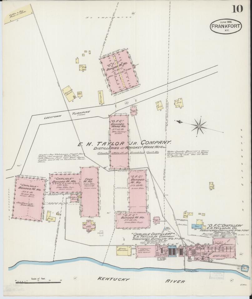
Learn all about the history and geography of American whiskey regulation in our latest blog post, "Home Rule Comes for Home Brew: Mapping Whiskey Regulation in the United States."
You can read the post in full online here: https://t.co/xmCFJanVwm
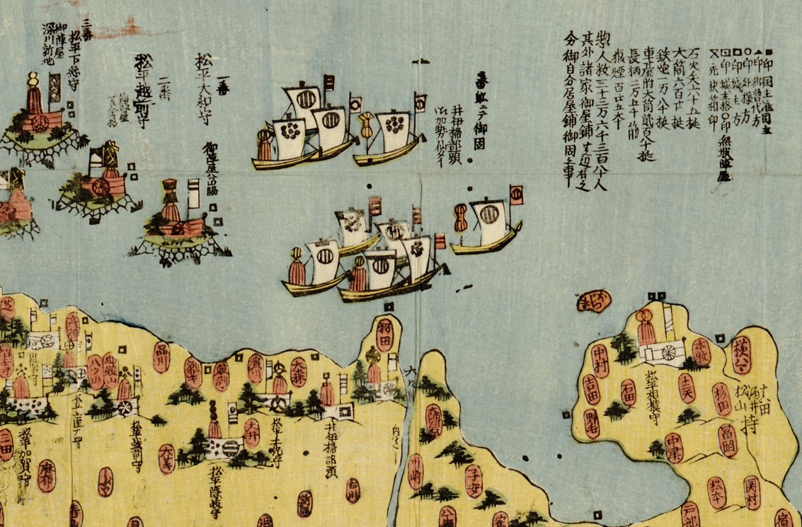
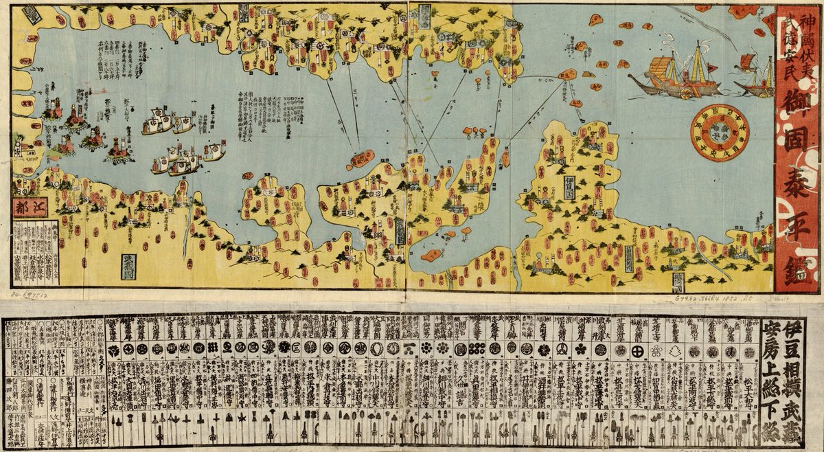
This fascinating mid-19th century Japanese map labels and charts the troops and samurai in charge of defenses along Tokyo Bay.
Take a closer look here: https://t.co/V7Os6ghgnm