Faculty who assists our department along with Tribal agencies with geospatial applications, engineering projects, and univ. collaborative data science effort's.
We have been working with Purdue University EPICS for about seven years now doing projects together and still going strong. Much appreciation to all they do to help us in our endeavors.
My longtime GIS-Cultural mentor and friend Jhon Goes In Center and I present this Saturday October 17, 2020 from 12-2 MST. Cultural geospatial mapping but from natives of the land and tribal enrolled members of the Oglala Lakota and Sicangu Lakota tribes (aka Sioux Tribes).
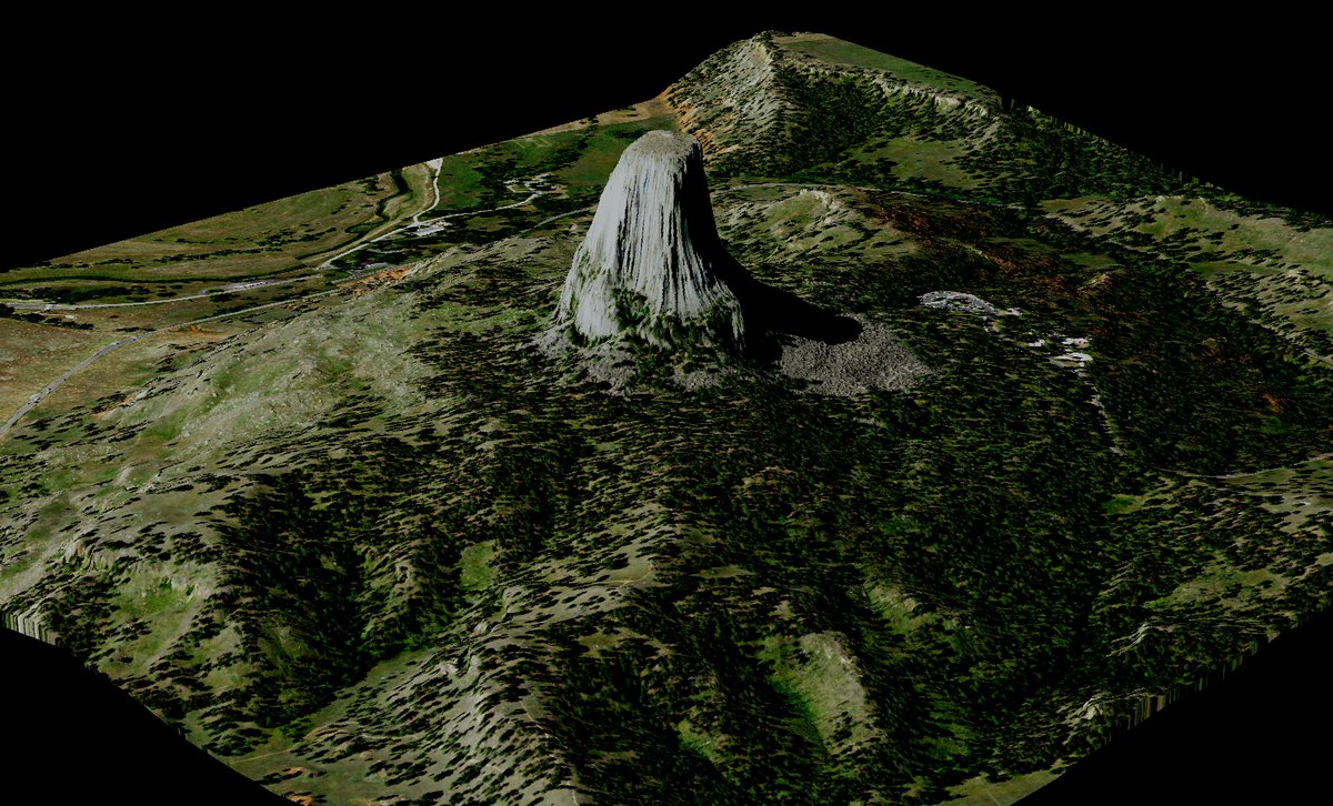
Bears Lodge and Remote Sensing - Lakóta Counter Mapping! The impetus is for land sovereignty and establish data sovereignty for Indigenous people across Turtle Island. --> Makówapi Wítaya - “Geography/Mapping Together”
Mató Pahá - Bear Butte. Digital Elevation Model from LiDAR point cloud data.
Lakóta Counter Mapping! The impetus is for land sovereignty and establish data sovereignty and education for Indigenous people across Turtle Island. --> Makówapi Wítaya - “Geography/Mapping Together”
We need more community STEM events such as this one. Congratulations to the robotics team! My eight-year-old son and I attended this and we had a great time... https://t.co/NIhlJJk799
One last reminder that our STEM college and high school students present this Thursday, August 9, 2018, from 1-4 PM. There will be a potluck from 12-1:00. Student research topics range from food sovereignty and greenhouse initiatives, small house CAD desi…https://t.co/I3XiL5xEze
A tribal college and an engineering school showing what a true "partnership" looks like! (Oglala Lakota College and South Dakota School of Mines and Technology)
On this day, May 28th in 1887, Jim Thorpe was born near current-day Prague, Oklahoma. An All-American in football at the Carlisle Indian School, he won the pentathlon and decathlon at the 1912 Olympics. Thorpe played professional baseball and football.
#Olympian#GOAT#SacFox