Reactivating account. A few things:
Won't map Fano insurgency. Too hard. Fano just defacto controls most of the Amhara countryside.
Won't map OLA insurgency. Too hard.
Will do geolocations, weapon IDs, some data analysis.
If war with Eritrea happens, it will be mapped.
🚨MAP UPDATE🚨
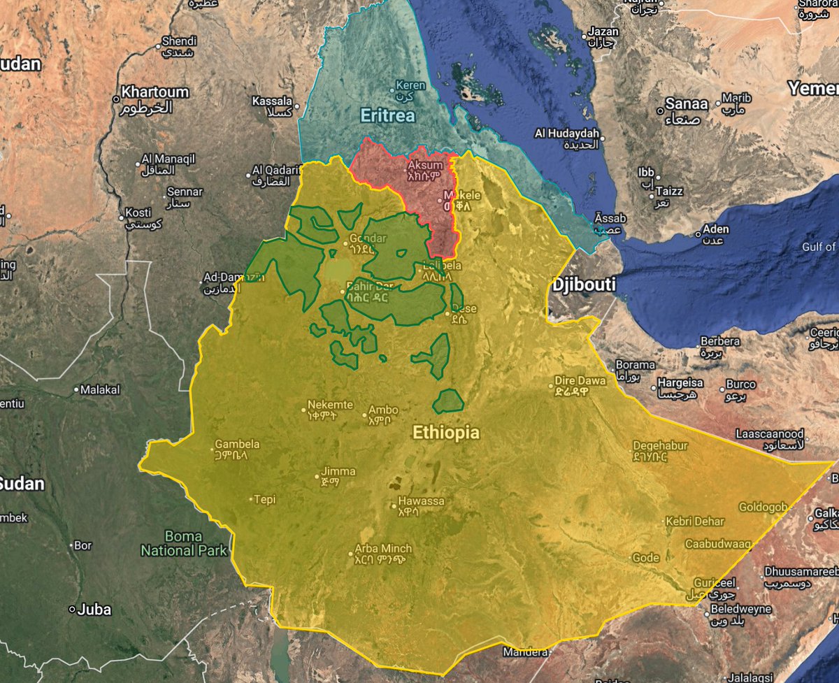
-United ENDF control into a single shape
-Added Fano areas of influence (subject to change)
-Simplified borders to increase load times
-Cleaned areas of control
Link in next post.
@PolGeoNow They are very mobile and it is hard to give areas of influence. Did in the past but took it out because when I looked at it again it was more harmful than helpful due to inaccuracies. If I have more time I will try and add some zones.
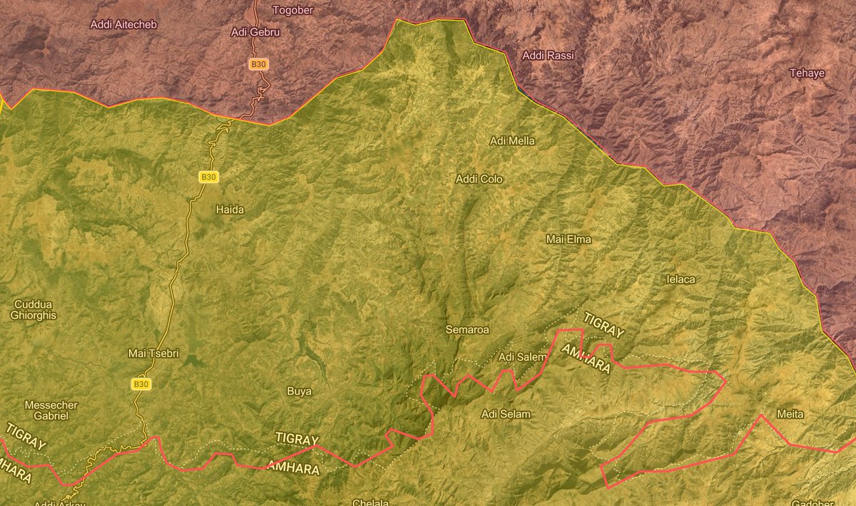
Corrections have been made to the map regarding the situation west of the Tekeze. Further changes may be made in the coming days as the situation in the area becomes more clear. TDF positions from last year were overstated and fixed. TDF likely holds most of Tselemti woreda now.
Corrections have been made to the map regarding the situation west of the Tekeze. Further changes may be made in the coming days as the situation in the area becomes more clear. TDF positions from last year were overstated and fixed. TDF likely holds most of Tselemti woreda now.
🚨MAP UPDATE🚨
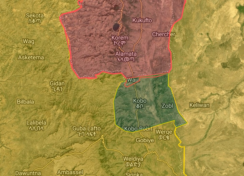
I have updated the map to reflect the Afar Regional Government's claim (denied by the TPLF) that the TDF has taken the village of Tonsa in Magale woreda. Other named locations haven't been found yet.
I will update the map should more information become available.
I have been doing map updates/improvements in the background, including adding Fano to an area they have controlled for a month now. I am debating two things:
1. Adding Fano "influence" to territories they have a strong presence.
2. Deleting regions to simplify the map.
↓
Reactivating account. A few things:
Won't map Fano insurgency. Too hard. Fano just defacto controls most of the Amhara countryside.
Won't map OLA insurgency. Too hard.
Will do geolocations, weapon IDs, some data analysis.
If war with Eritrea happens, it will be mapped.
In many areas of the Amhara region, Fano de-facto controls the area, though they don't have a constant presence, mapping an area as "hard control" might misrepresent control, so I would have a mixed shade.
Having the different regions speeds load time but looks ugly.
Thoughts?
@Jossi_224 Ideally not. Hope is to be around to debunk misinfo, do geolocations, collect information and do analysis of the insurgencies and also try and find ways to elevate Ethiopian voices in English-speaking spaces.
Reactivating account. A few things:
Won't map Fano insurgency. Too hard. Fano just defacto controls most of the Amhara countryside.
Won't map OLA insurgency. Too hard.
Will do geolocations, weapon IDs, some data analysis.
If war with Eritrea happens, it will be mapped.
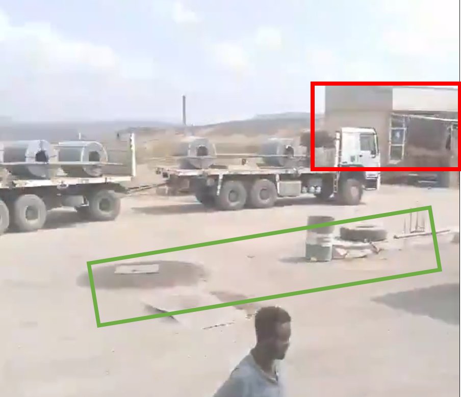
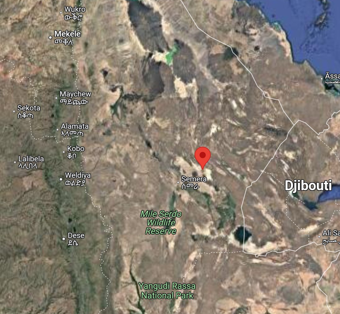
ENDF convoy transporting T-55 and T-62 tanks heading east from Serdo, Afar. Filmed at the Serdo gas station here: 11.95820412190223, 41.30500438057001
Proof below:
Comments will be open initially, but may be closed rather quickly to avoid people fighting one another.
DMs will stay open unless they get filled with spam, which is apparently a problem now.
Give me some time to mess with the map. May just make a new one.
Exclusive: Just days before a deal to end the war in Ethiopia’s Tigray region, soldiers from neighboring Eritrea last fall massacred more than 300 villagers over the course of a week, according to witnesses and victims’ relatives. https://t.co/l73hi4ZsmC
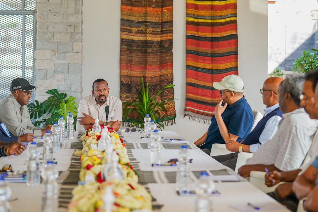
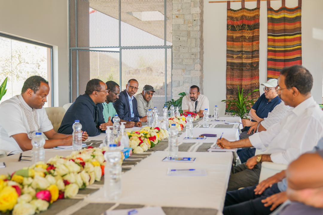
#NewsAlert: PM Abiy Ahmed, Deputy PM Demeke Mekonnen & other Fed. officials "have met today and held discussion with TPLF delegation" including Getachew Reda and Lt. Gen. Tsadikan G/Tinsay, "regarding the progress of the peace process," @RedwanHussien said https://t.co/hZBjxJHW47
Operations were conducted in several other areas including Begi (West Walaga), Gobu Sayo (East Walaga), Bako (West Shawa), Midaqenyi (West Shawa), Adami Tulu (East Shawa), and Gamachis (West Hararghe). More details will be shared shortly.