Esri Dir National Mapping | UN Comm Experts Global Geospatial Info Mgmt (UN-GGIM)|UN Geospatial Societies Board|IMIA Dir |Opa|Dad|Packer LinkedIn:Mark Cygan
Interesting article on geographic differences in opinions about AI and levels of concern & excitement from a recent AI survey - https://t.co/tC8CNn3U6E
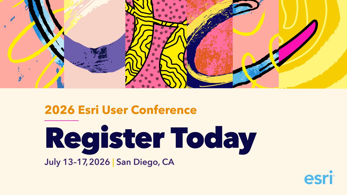
Registration and housing for #EsriUC2026 are now open! Plan now for a week of learning, inspiration, and connection, with the global GIS community. https://t.co/4V55BXXKCj #Esri
"The American Revolution is complicated. Maps make it easier to understand." 🗺️ Mike Welt from Florentine Films explains how cartography shaped @KenBurns’ @PBS docuseries, The American Revolution.
🔹Watch the live stream: https://t.co/jYFN6WuTDn
#AmericanRevolutionPBS
Early bird registration ends December 5 for #EsriDevTech2026. Plan to head to Palm Springs to learn how to build smarter, faster, and more scalable geospatial apps using the latest APIs, SDKs, and scripting tools to deliver high-performance experiences. https://t.co/grh8qG73G3
Indulge your inner geogeek for @GISDay with 30% off available Esri Press books! 📚 Use GISDAY30 here: https://t.co/eWdYI9Twuh
*Available for purchases in the US and Canada.
#GISDay2025
Get ready for @GISday on November 19! 🌎
Celebrate a day dedicated to exploring, learning, and sharing our passion for GIS. Here's a message from Jack Dangermond on why you should be a part of this special day. https://t.co/gEWiBJKoNJ
#GISDay2025
Are you hungry to share your data and collaborate with other organizations? Feast on this buffet of resources for ArcGIS Hub and Enterprise Sites https://t.co/txXEoyXwnA
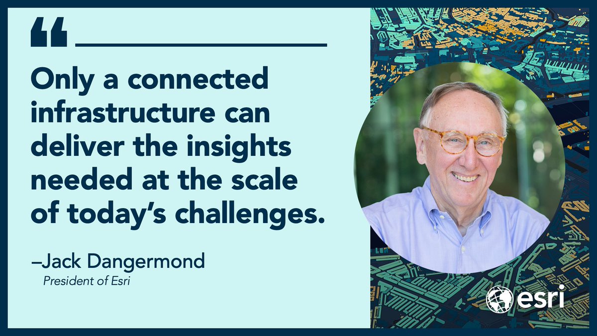
This xyHt article with Esri's Jack Dangermond on his vision for the future of GIS, and an open and connected global geospatial infrastructure is getting a lot of attention. I am posting it again in case you missed it https://t.co/8akOpN1HRJ
Six cartographers in Spain's Cantabria region use geospatial AI to count beachgoers from aerial photos, track invasive species, and guide millions of tourists—protecting fragile coastlines while keeping data open to all. Small team, big impact. https://t.co/JtgZNi9XTz
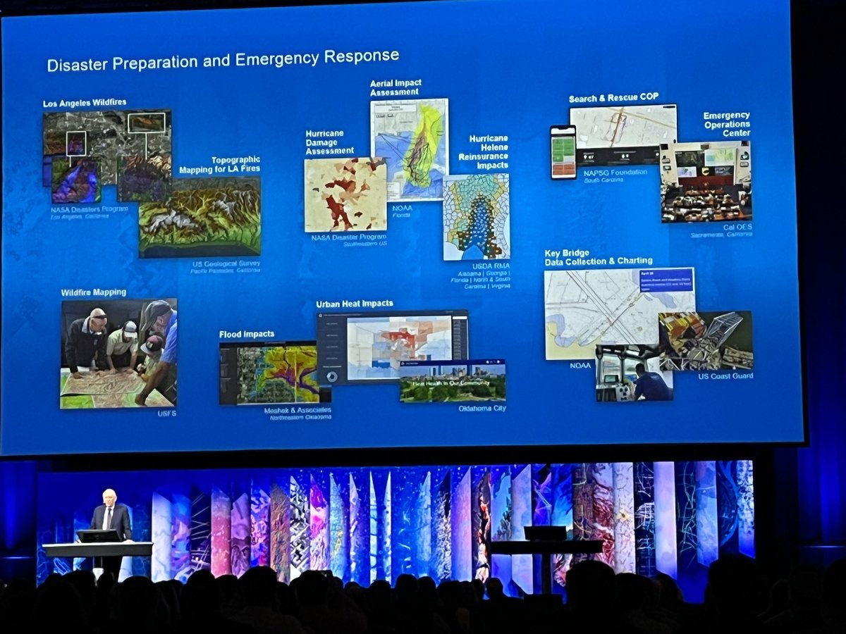
Jack stresses the importance of distributed #Geospatial Infrastructure #NSDI GIS for the Nation -Hear more at #SDI SIG Geospatial Ecosystems Tues 1:30-2:30 Rm 140A @Esri#FedGIS#FedGIS2025
Explore #where to next with #mapping & #geospatial colleagues at the Esri Federal GIS Conference expo, summits, speakers, panels & networking opportunities! See you there
https://t.co/MnCabuRbyy
#FedGIS2025
Women have been integral to #mapping fr Marie Tharp to @deepseadawn Dr Dawn Wright to rising star Ms Raynah @Wanjiku_WaKamau - Lets join in celebrating International Day of Women and Girls in Science
In honor of International Day of Women and Girls in Science, this story highlights the work of @iMMAP_Inc and @TheHALOTrust to teach women how to use GIS to gather data, create maps, and provide an operational awareness that leads to better outcomes. https://t.co/OkstTxrNpZ
Looking forward to seeing our innovative #Esri Partner #RIEGL at #HYDRO2024 (Esri booth is on the same aisle - front left as you enter @ MS4) #maritime#lidar#gis
Next week! #RIEGL is exhibiting at booth 70 in collaboration with AHM (AirborneHydroMapping) during the International Hydrographic Conference and Exhibition (#HYDRO2024) taking place from November 5th - 7th in Rostock-Warnemünde, Germany.
For more info: https://t.co/wZKTt2DcMh
Rising seas threaten the Pacific island nation of Tuvalu and the country's leaders are taking action. A digital twin—created with GIS and high-resolution imagery captured by @ThisIsPLACE—help study climate impacts and preserve cultural heritage. https://t.co/mKVwi4aGmJ
Missed the @EsriUC Plenary Session? Don't worry, the videos are now available! 🙌🏽 Catch up on all of the inspiring moments and exciting product announcements.
🔹Watch here: https://t.co/Fj2AXJbq0z
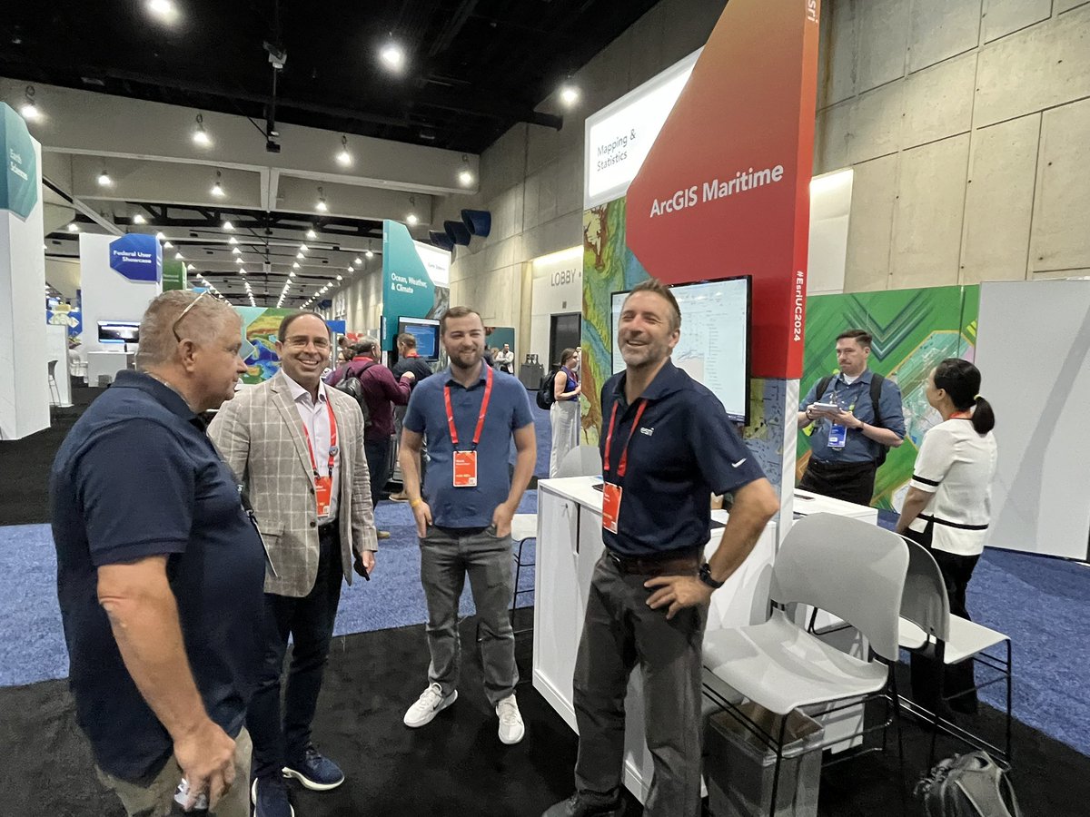
#EsriUC2024