This year, plan to go out, sale out and stop stress out! The #JamaicaWeatherApp is a muss fi di new year!
Download it for FREE today
Android - https://t.co/whVPRwqN3E
iOS - https://t.co/Q8rjVxNIIs
The Meteorological Service values the collaboration of the Office of Disaster Preparedness and Emergency Management in the development of Jamaica's Weather Ready Nations programme. This will continue through to implementation under the guidance of Dr Rochelle Campbell.
The US National Oceanic & Atmospheric Administration (NOAA) continues to support the development of the Weather Ready Nations programme in Jamaica. Dr Rochelle Campbell, of the Hydrologic Research Centre, facilitated our local Stakeholders Workshop on their behalf.
Do you think Jamaica is weather-ready, prepared to take appropriate action in the event of severe weather events? That's what MetServiceJA is working to ensure, by developing the Weather Ready Nations programme, along with @ODPEM and other stakeholders.
The 3rd National Climate Forum brings together key stakeholders to explore climate projections, share knowledge, and strengthen Jamaica’s resilience to climate change.
#HappeningNow | The Meteorological Service of Jamaica is hosting its third National Climate Forum (NCF-3). From heat-health bulletins to hurricane season predictions, stakeholders are engaging in critical discussions on climate services, readiness, and resilience.
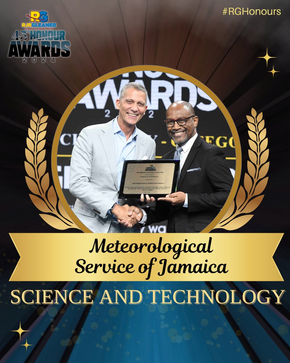
The Meteorological Service of Jamaica is presented with the RJRGLEANER Honour Award for Science and Technology for strengthening national resilience through cutting-edge weather technology, real-time data systems, and life-saving early warning solutions. #RGHonours
@JamaicaGleaner The Meteorological Service team is truly honoured to receive this award. Our focus has always been on preserving lives and livelihoods, while increasing Jamaica's productivity through improved weather and climate services. Thanks for the recognition and welcome encouragement.
The 2025 Atlantic Hurricane Season Starts Today! 📣
Are you prepared? 🌀Now’s the time to get ready! Stay informed and stay safe. Follow us and @MetserviceJA for tips and the latest updates throughout the season. 📲
Thunderstorm activity was forecast for parts of Jamaica this afternoon; however, it was accompanied by episodes of hail in at least one area. Check out this video of hailstones affecting Mandeville, Manchester.
A FLASH FLOOD WATCH is now in effect for low-lying and flood-prone areas of Portland, St Mary, St Catherine, Clarendon and Manchester until 7:00 p.m. on Monday, April 14. This, as a trough over the central and western Caribben continues to produce unstable weather over Jamaica.
A trough entering the western Caribbean on Friday will produce periods of showers and thunderstorms, which could be heavy at times. These will affect
Jamaica and especially eastern and central parishes beginning Friday afternoon and continuing into at least Sunday night.
A Cold Front is expected to enter the western Caribbean tonight and move across Jamaica by Monday night/Tuesdaymorning with lower-than-normal temperatures, gusty winds and periods of showers, primarily over northern parishes.