Meet Our Program Ambassadors – Master’s in Geomatics!
Briksha: [email protected]
Nishi: [email protected]
Connect with current students to get your questions answered, learn about their experiences, and gain insights into the program and resources.
Webinar Series: Postgraduate Programs in Technology
Join us on 24 Jan, 5:00 pm onwards. Learn about the program, curriculum, career pathways, teaching methods & more.
Register Today!
https://t.co/r0l7CkJng7
Dr. Anjana Vyas (FP PG '85), former Acting Dean, Faculty of Technology received the Satish Dhawan Award 2023, from the Indian Society of Remote Sensing. The award was bestowed by Anil Kumar, Minister of Science & Technology, UP, at Lucknow in Dec.
See : https://t.co/5nop9wqFr5
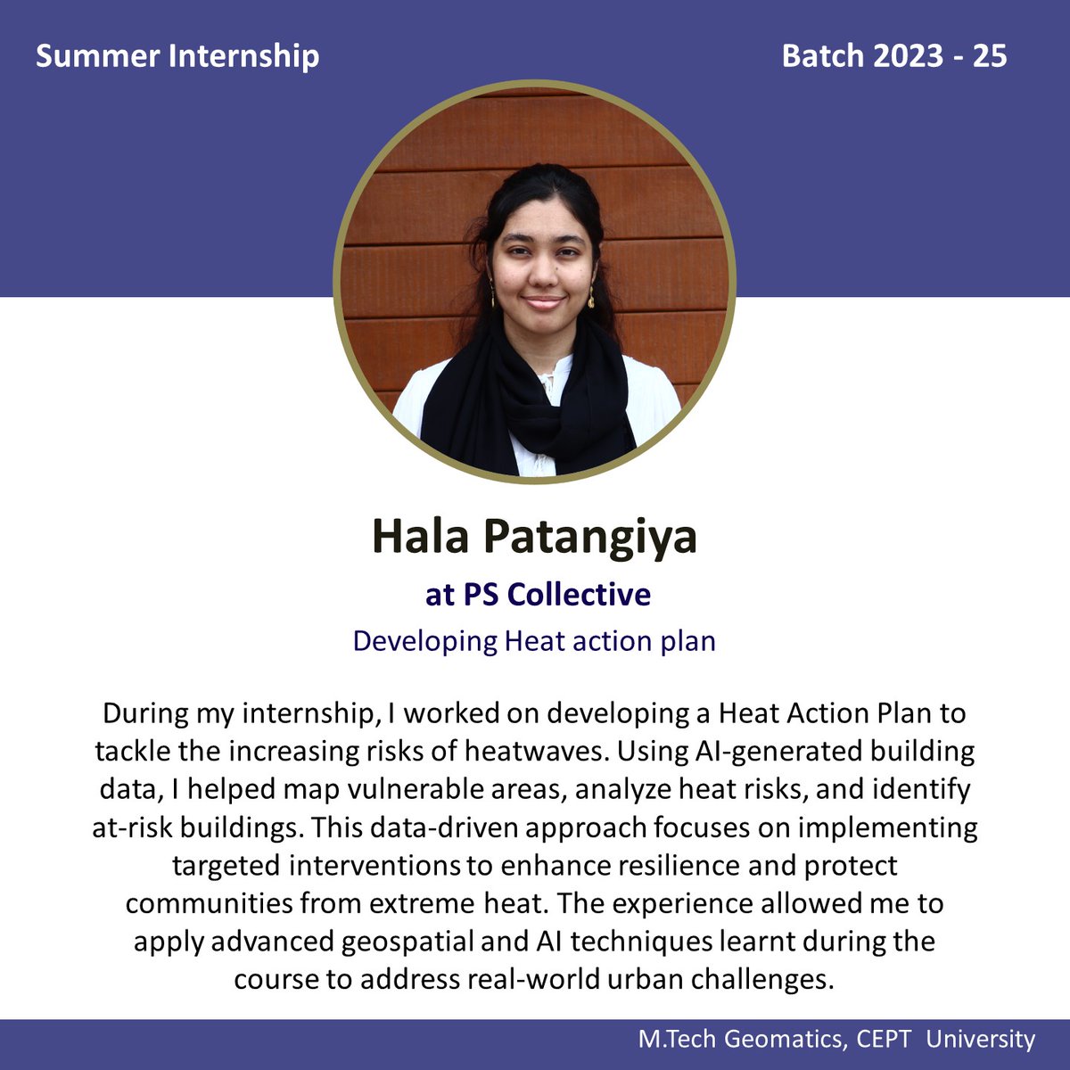
Internships Testimonials of Geomatics Student
https://t.co/dYy9CIbXA5 Geomatics, Batch of 2023-25
From internships at leading firms to groundbreaking projects, their experiences are paving the way for a bright future in geomatics.
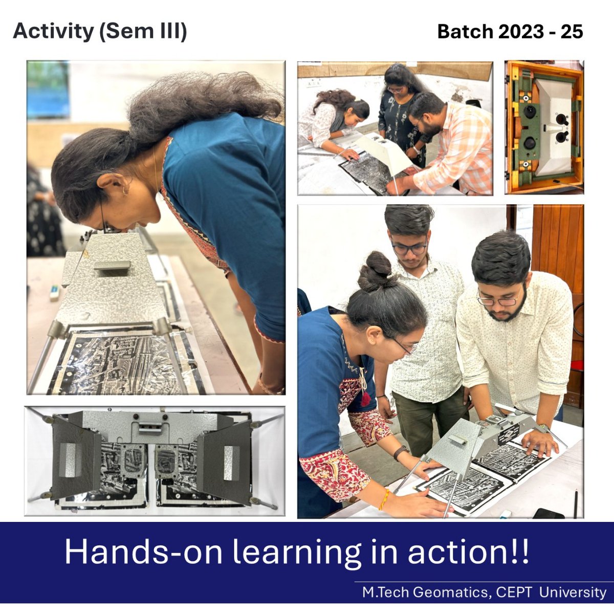
https://t.co/dYy9CIbXA5 Geomatics sem 3 students did a handson exercise of visualizing 3D from just 2 overlapping images under the mirror stereoscope. It was fascinating for them to see the world in a whole new dimension!
Ever wondered how maps transform our 3D Earth into a 2D representation? 🌍
Here's a glimpse into a hands-on activity by https://t.co/dYy9CIbXA5 Geomatics students at CEPT University, exploring the journey from geoid to paper! 🗺️
https://t.co/dYy9CIbpKx Geomatics students at CEPT University participated in an IEEE GRSS expert talk featuring Dr. Bruce Chapman and Dr. Paul A. Rosen.
Geomatics students at CEPT University utilized drone technology to capture high-resolution aerial data for the CEPT and CRDF campuses. This data enabled the creation of a detailed Digital Elevation Model (DEM), enhancing spatial analysis and 3D mapping capabilities.
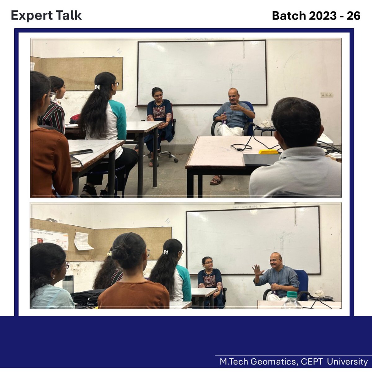
A guest lecture for https://t.co/dYy9CIbXA5 (Geomatics) Sem 3 students was delivered by Mr. Gaurav Jain, Head UGAD, SAC, ISRO, Ahmedabad. He discussed 3D City Modelling using satellite data, showcasing applications from CARTOSAT-1 and other satellite datasets.
🌍 Expert Talk on GIS Applications and Experiences by Mr. Shailesh Gaur, Former Adjunct Professor, NIAS 🌍
He highlighted the use of GIS in cities like Surat and Vadodara with a particular emphasis on how GIS played a key role in enhancing Surat's property taxation system.
Mr. Rajendra Ratnoo stressed Earth Observation's importance in disaster management and urged climate action and collaboration, praising PM Gati Shakti for better decision-making.