🚀 An update on the "Introduction to GIS Programming" course I'm teaching this semester! We wrapped up Python basics this week and will dive into #geospatial programming next week. 🎉
All course materials and video recordings are freely available online. Stay tuned for more weekly video releases!
🔗 Course website: https://t.co/2dK3d0nHH7
🎥 Videos: https://t.co/9sbsl5TfCS
#opensource #geopython
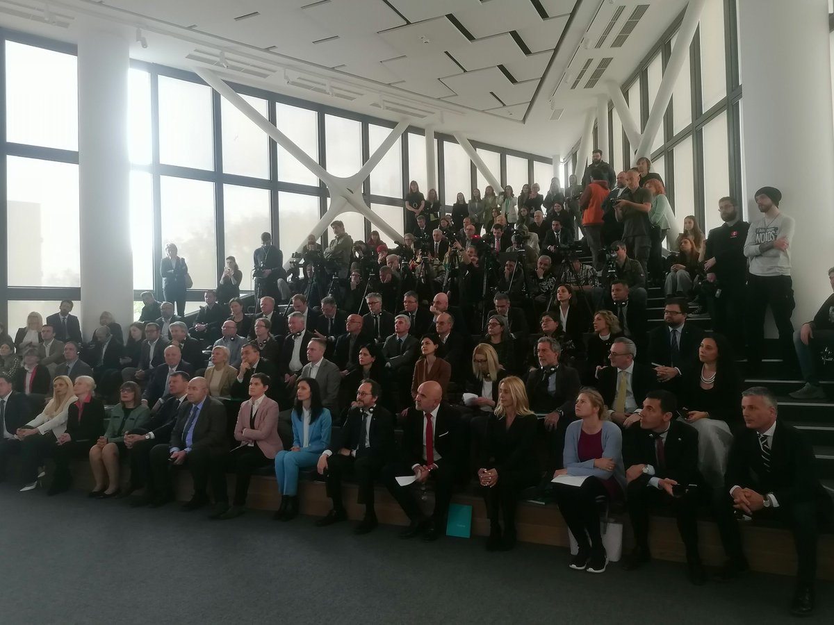
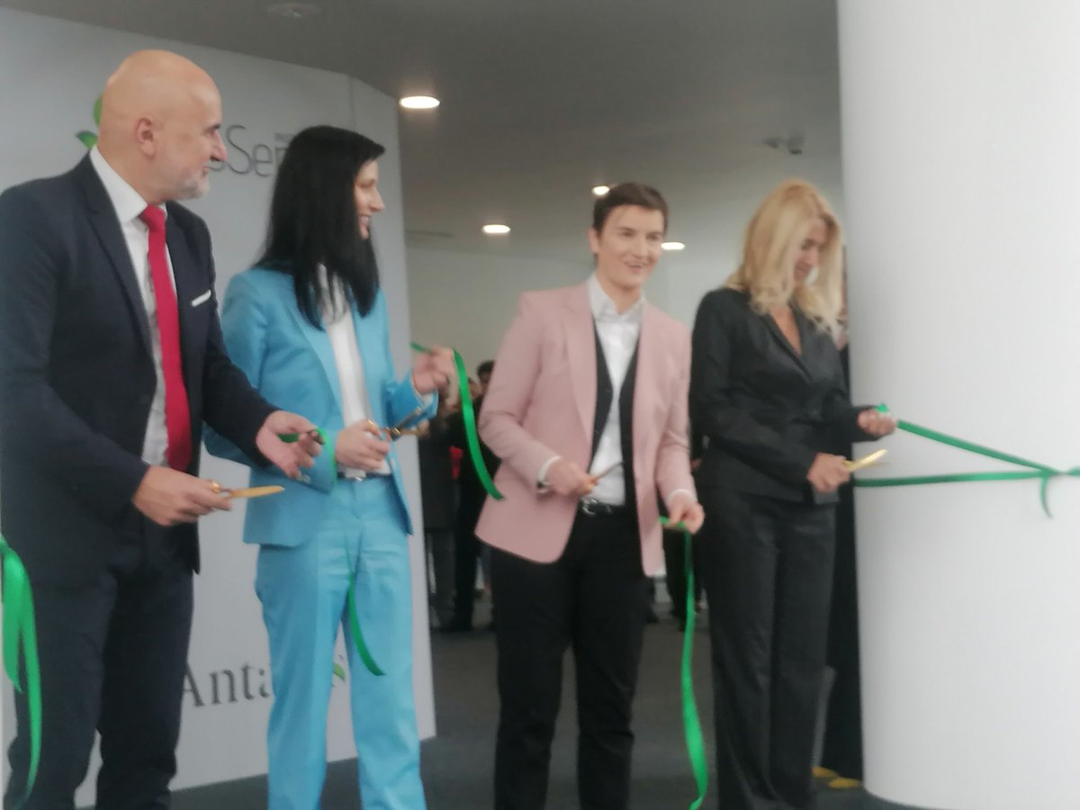
U prisustvu predsednice Vlade Ane Brnabić, EU komesarke Marije Gabrijel, ministara, zvaničnika AP Vojvodine i grada NS svečano je ozvorena nova zgrada Instituta BioSens.
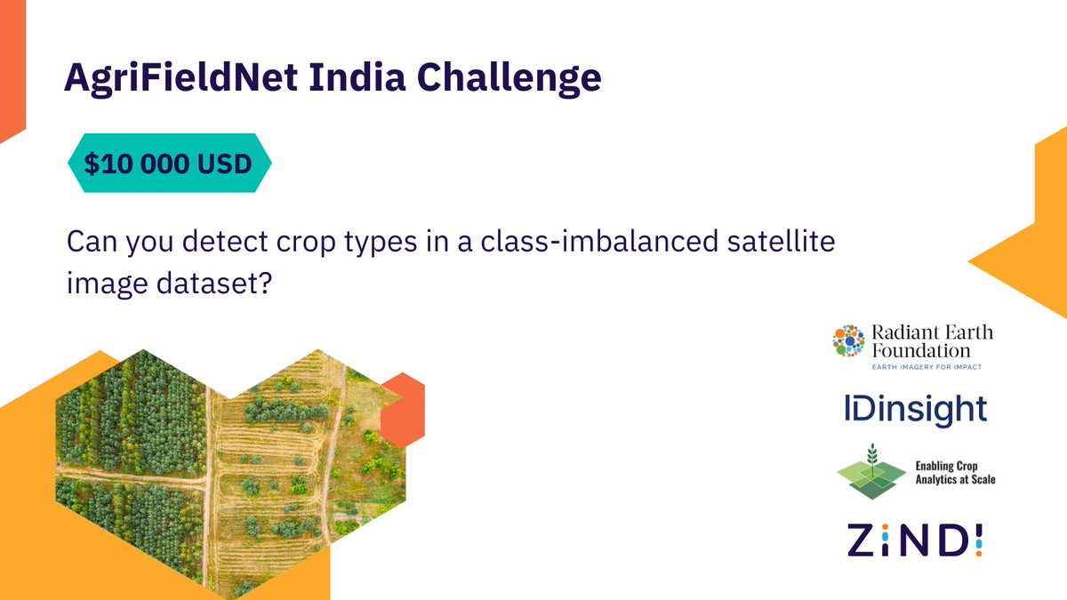
🆕 #DataChallenge
Can you detect crop types in agricultural fields from a satellite image? Bring your #DataScience skills and join this challenge to classify crops in #Ag fields across Northern #India 🇮🇳
👉🏽 https://t.co/Vd1l6W3kUn
#geospatial#eochat
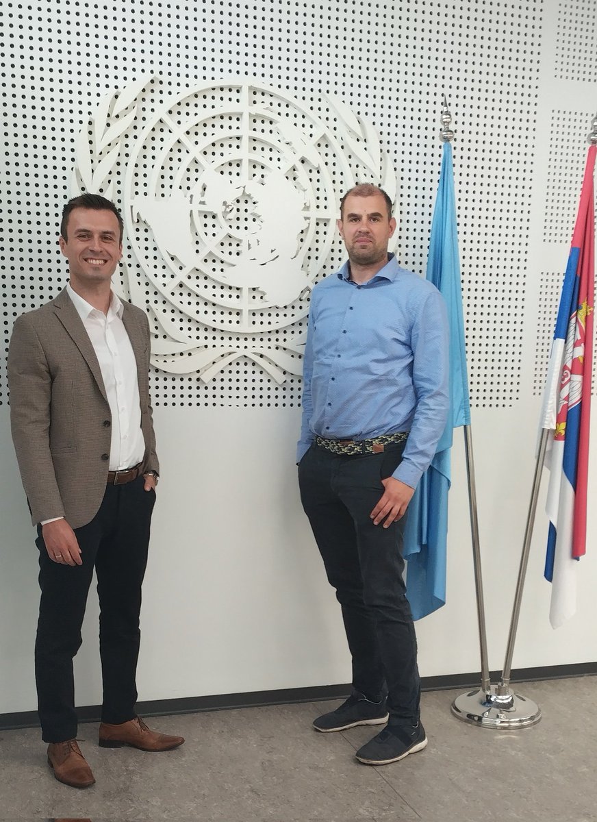
BioSense Institute and @UNDPSerbia created a web GIS portal to detect open fires using data from SENTINTEL-2 satellite.
Read more: https://t.co/KiDXExTIoV
#Copernicus#BioSense
☑️📢BioSens je uz podršku @UNDPSerbia pokrenuo portal https://t.co/UrVRvE3df6.
🔥 Preko tog portala poljoprivrednici će moći da detektuju i prate požare u celoj zemlji, što će ujedno doprineti smanjenju zagađenja i poboljšanju kvaliteta vazduha. #RTS1
https://t.co/bDbXzCzLWK