Technically, Chattanooga still hasn’t had a 70 or > daily low in June and this year. I imagine that changes at the end of the week and probably falls within June. You have to go back to 1992 for such a late occurrence.
All of these supercells will be capable of producing tornadoes in this explosive environment. Remember, the forcing comes from the environment, and we have a very explosive one. #inwx#kywx#tnwx KLVX - Super-Res Reflectivity 1, 3:26 PM
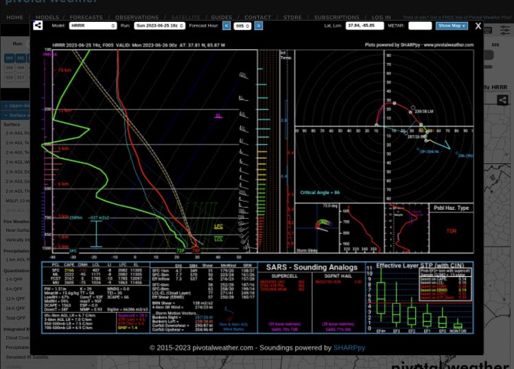
I thought the HRRR did a good job with picking up the severity of this first MCS. The second one if it forms might be hard pressed to top it south of Kentucky?
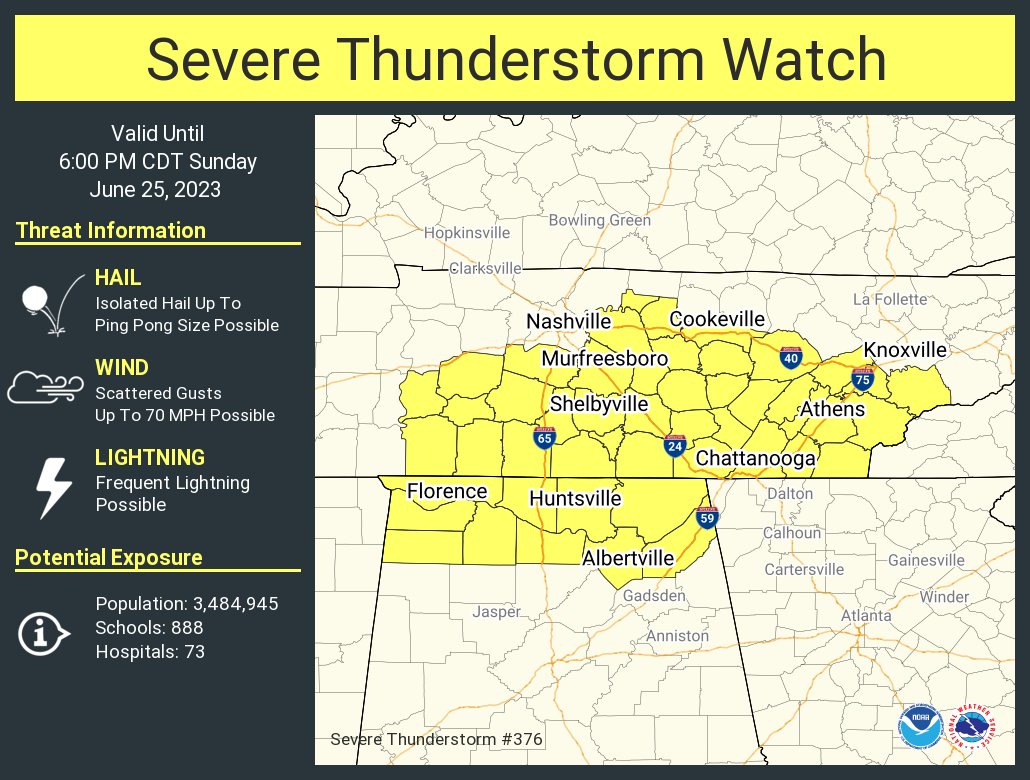
Kind of an “odd” watch for the areas in the northern fringe. Peak storm was over. SPC seemed reluctant early on to issue a watch. Be interesting to see what happens later tonight/early Monday. Do we get two pretty stout MCSs in 12 hours? By no means unprecedented but doesn’t
Severe Thunderstorm Warning for...
Loudon County in east Tennessee...
Southwestern Knox County in east Tennessee...
South central Anderson County in east Tennessee...
Western Blount County in east Tennessee...
Northern Monroe County in east Tennessee...
Roane County in east Tennessee...
* Until 200 PM EDT.
* At 120 PM EDT, severe thunderstorms were located along a line
extending from Oak Ridge to near Kingston to near Rockwood, moving
southeast at 40 mph.
HAZARD...60 mph wind gusts.
SOURCE...Radar indicated.
IMPACT...Expect damage to roofs, siding, and trees.
* Locations impacted include...
Knoxville, Oak Ridge, Maryville, Lenoir City, Alcoa, Kingston,
Sweetwater, Rockwood, Loudon and Madisonville.
This includes the following highways...
Interstate 40 in Tennessee between mile markers 345 and 376.
Interstate 75 in Tennessee between mile markers 61 and 84.
PRECAUTIONARY/PREPAREDNESS ACTIONS...
For your protection move to an interior room on the lowest floor of a
building.
&&
LAT...LON 3544 8442 3558 8450 3562 8454 3563 8452
3564 8455 3587 8471 3605 8428 3570 8385
3555 8405
TIME...MOT...LOC 1720Z 314DEG 36KT 3596 8427 3587 8446 3582 8465
HAIL THREAT...RADAR INDICATED
MAX HAIL SIZE...<.75 IN
WIND THREAT...RADAR INDICATED
MAX WIND GUST...60 MPH