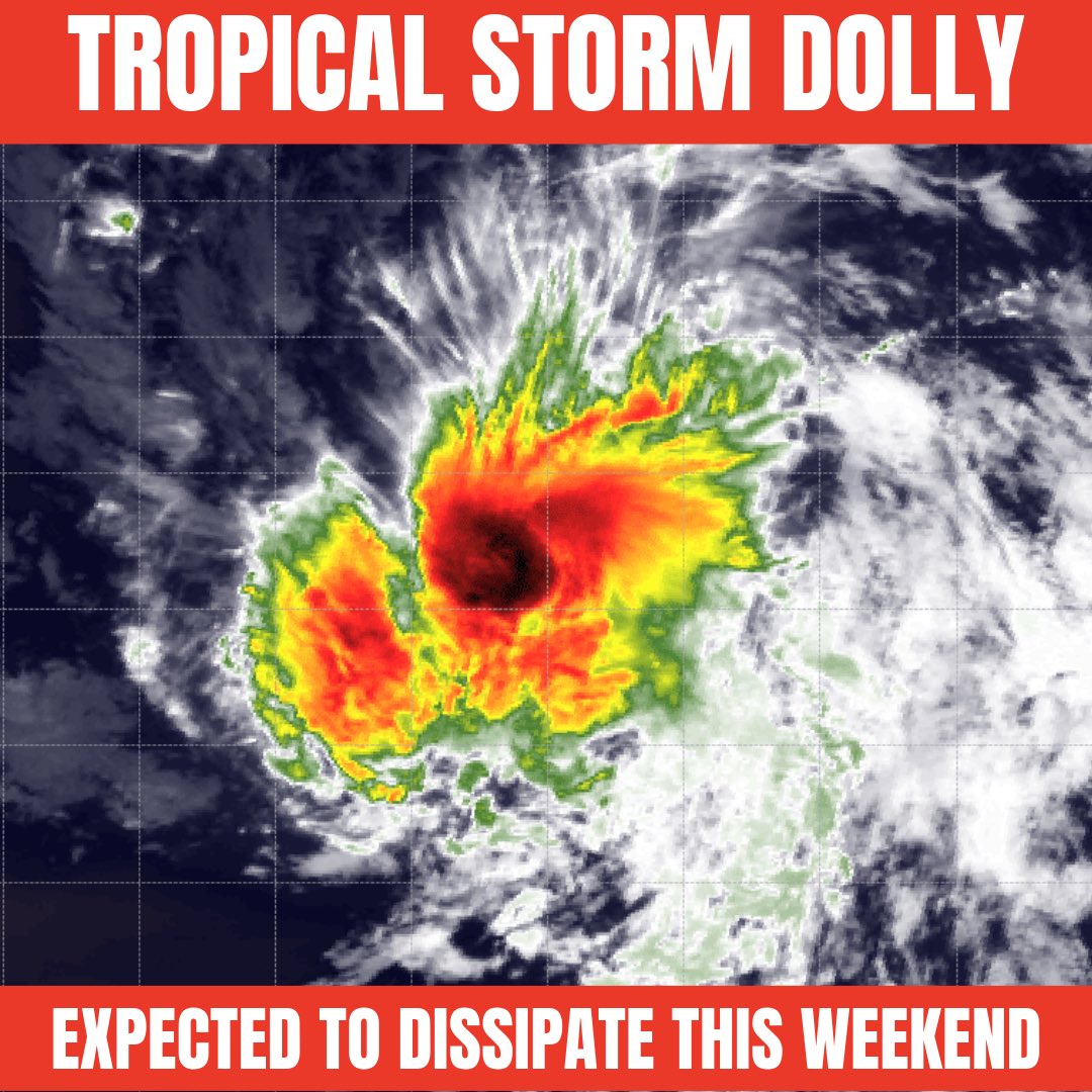
Peak season is in total shutdown mode. There is nothing out there. 2026 is likely going to set records for the most inactive hurricane season in the satellite era.
Outside of the little weak thing in the Gulf, we are likely to blank the next two weeks.
Barack Obama Elementary is set to reopen Thursday after mold forced a nine-day delay, but some parents want to wait until after Labor Day. https://t.co/iSxj1bS0OM
Edouard developed from this situation a few days ago but this next Gulf wave doesn’t have the same energy. We’ll still see a plume of moisture run into Louisiana. Expect storms to increase heading into the holiday weekend - watch out tailgating for LSU! #lawx
Edouard is trying, I’ll give it that. All the pieces are there as it approaches SW LA. We could see a quick ramp up at the coast, landfall around lunch. #lawx
A tropical depression is forming off the SE LA coast this morning. This thing is so small but that circulation could tighten up quickly leading to the formation of Edouard. Hurricane hunters fly in later this morning. #lawx
Richmond Schools confirmed Thursday that Obama Elementary's first day will be Tuesday, Aug. 25, at the earliest, after an air quality test came back positive for elevated levels of mold spores. https://t.co/PpaCaFccUv
Big storms are so close but so far again. This feature will linger over the northern Gulf the next few days. Maybe this is more optimism rather than forecasting but Friday I’m seeing signs this moisture tail may spark a nice round of storms across South LA. We’ll see! #lawx
RING OF FIRE pattern will start to shift a little this upcoming week allowing for “some” storm chances. It’ll still be blazing hot but late afternoons could feature those intense August boomers. The coverage of rain will not be very high but at least it’s something. #lawx
A brutal stretch of heat is on the way over the next 5-10 days. Indications are a heat ridge will park itself right on top of LA. This will yield daily temps soaring into the upper 90’s to 100°+. Heat index values will likely exceed 110° each day meaning heat alerts are likely.
The AFRICAN WAVE TRAIN is getting active with some signs of storm formation happening in the Atlantic next week. The kicker? There is a destructive graveyard waiting in the Caribbean - so good luck to anything trying to make it to us.
We see this more than we like to. If you're running a school or school system don't wait until August to address potential mold concerns! The sooner you have a professional inspection, the better!
Most of us need rain, some if not all will get some over the next week. A nice influx of moisture will ride in from the Gulf this weekend. This doesn’t look to be a major rainmaker but it will give us chances for daily downpours. Hopefully your hood gets some! #lawx
MINI HINT OF FALL - Tonight the dry air will allow for temperatures to drop to numbers not seen in nearly two months. That’s not saying much but Monday will be the best feel of this small dry air front. #lawx
Water always finds a way.
What looks like a ceiling problem is often a gutter problem. When gutters clog, water can back up behind the system, enter the soffit, and eventually damage your home from the inside.
Don't wait for the stain.
@LeafFilter#GutterProtection#LeafFilter