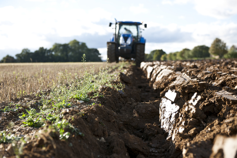
📢Potential of soils to sequester carbon being "seriously overestimated" say researchers.
@COP28_UAE#worldsoilday2023@WUR
Full story 👇
https://t.co/52yqb5bGtu
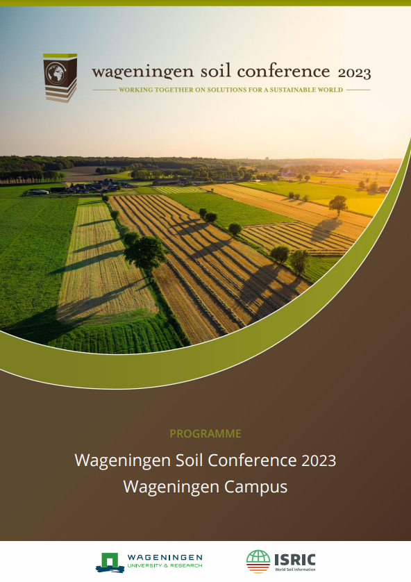
✨See you next week at #WSC23!
Have you checked the full Wageningen Soil Conference programme? Get all the details and plan ahead on which sessions you would like to attend: https://t.co/svL4XDdNUI
#ImageOfTheDay Update
Major #wildfires have broken out in #Greece 🇬🇷 over the last few hours
⬇️This morning, at 08:37 UTC, #Sentinel3 🇪🇺🛰️ captured a massive smoke cloud (~700 km long) generated by the ongoing 🔥 in East Macedonia, engulfing the central Mediterranean Basin
🔴#EMSR675#Greece🇬🇷 #Ροδοςπυρκαγια
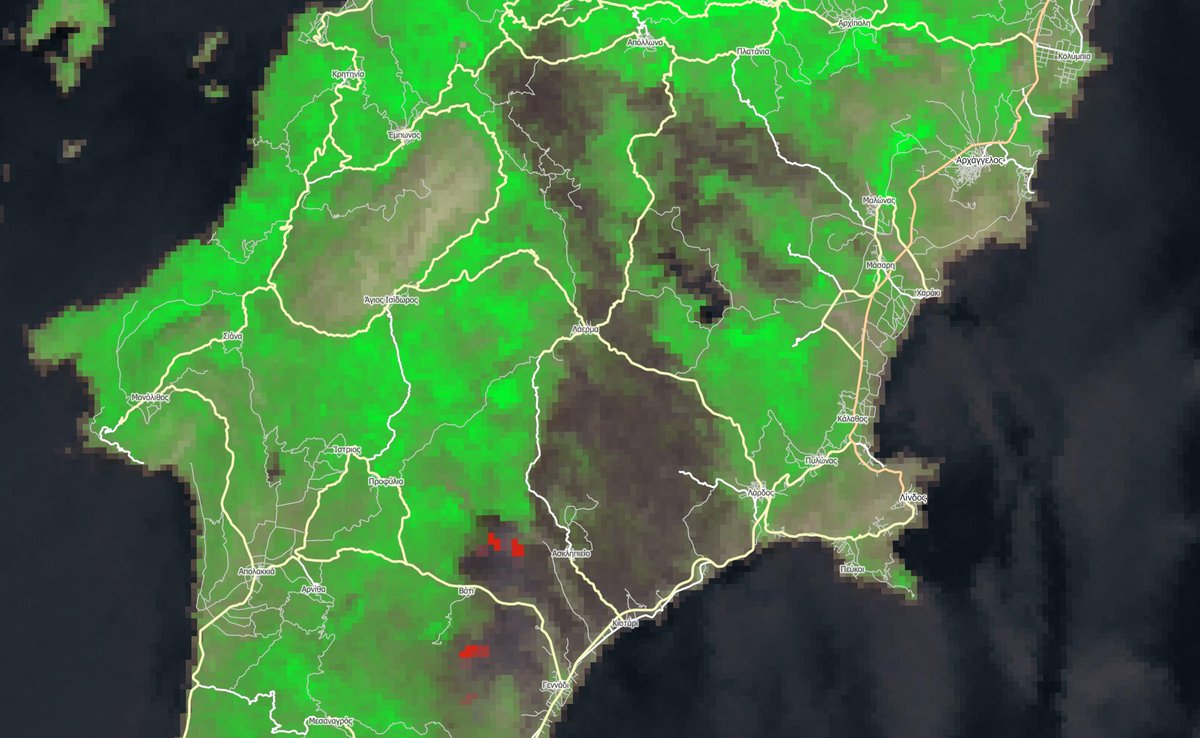
Our #RapidMappingTeam delivered its 4⃣th Monitoring Product for the wildfire in #Rhodes#Ροδος using satellite🛰️ imagery of 24 July at 8:54 UTC
➡️A total burnt area of 1⃣3⃣,3⃣1⃣2⃣ ha🔥 has been detected
More at👇
https://t.co/czRrf2yDub
I have added the display vegetation cover with a NDVI filter (0.4) to show the surrounding vegetation. Hope the situation will improve, but the wind is strong. #wildfire#Rhodos#Sentinel 2
Result Normalized Burn Ratio (NBR) calculations of the burnt area from today's satellite acquisition (Sentinel 2) early this morning. Still active fire in south-west and North-east. Almost 10 km! I hope it gets under control ASAP #Ροδος#Ροδοςπυρκαγια#πυρκαγιές#Φωτιες
#EMSR675
Our #RapidMappingTeam supports @GSCP_GR and local authorities in the fight against the Rhodes #Ροδος 🇬🇷 #wildfire
⬅️Burnt areas from VHR imagery acquired yesterday
➡️#EFFIS rough estimate based on the latest hot spot detection from 🛰️thermal sensors
#Ροδοςπυρκαγια
Our @CopernicusEMS colleagues are working hard to support the emergency managers & first responders in #Ροδος🇬🇷
Their latest delineation map, based on yesterday's imagery shows a burnt area of 2,712 ha
They are waiting for today's acquisition to map its extension toward the sea
Our thoughts are with the residents and tourists affected by the #wildfire currently raging in Rhodes #Ροδος 🇬🇷 and with the emergency management teams fighting the blaze
Yesterday #Sentinel3 🛰️🇪🇺 acquired this impressive image at 08:41 UTC from 814.5 km above
#Ροδοςπυρκαγια
⚠️ Ενεργοποίηση 1️⃣1️⃣2️⃣
🆘 Αν βρίσκεστε στις περιοχές #Πεύκοι#Λίνδος & #Κάλαθος, εκκενώστε τώρα προς #Αρχάγγελο
🔥 Δασική πυρκαγιά στην περιοχή σας
‼️ Ακολουθήστε τις οδηγίες των Αρχών
ℹ️ https://t.co/kexUnlnGMV
@pyrosvestiki@hellenicpolice
Measuring soil organic carbon in bulk soils and organic matter fractions can be challenging when carbonates are also present. Our recently published paper (Koorneef, G., et al. 2023 Geoderma) evaluates 5 methods. https://t.co/7Zw5GQBpBD
HOT off the e-RA press! New datasets for the worlds longest running experiment: Broadbalk annual wheat yields 1852-2022 in FAIR 'frictionless format' which includes all treatments, varieties and dates DO SHARE! https://t.co/4usxLcMQhi #FAIRdata#Broadbalk#openaccess 1 of 3
📢📢📢Registrations for the next 'Soil Biology Lab Skills Course For Assessing Soil Functions' are now open! Follow this link to register: https://t.co/9V1uhhdWfh
📢The 2023 Wageningen Soil Conference Call for Abstracts is now open!
We invite #soil scientists from around the world to submit. Full details: https://t.co/dXFuXOG8Ci #soilscience