Apenas um jovem que analisa desenhos digitais que retratam a direção dos ventos e a umidade na nossa atmosfera (também conhecidos como modelos).
US: @JAnalyzes
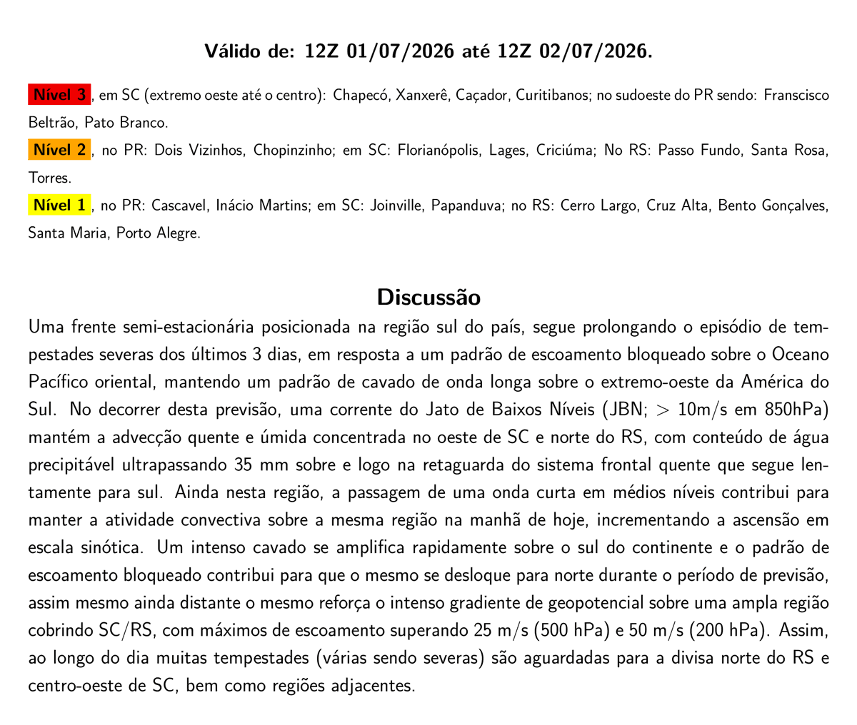
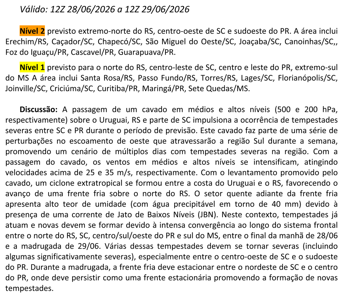
highly concerning synoptic pattern has been consistently outlined for SA next week. A prolonged troughing over the Andes will lead to multiple days of warm air advection, combining conditional instability that would be coupled with intense kinematics favorable for severe weather
Atualizaçãozinha
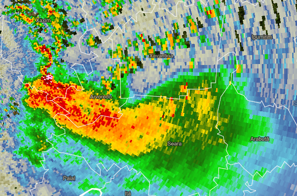
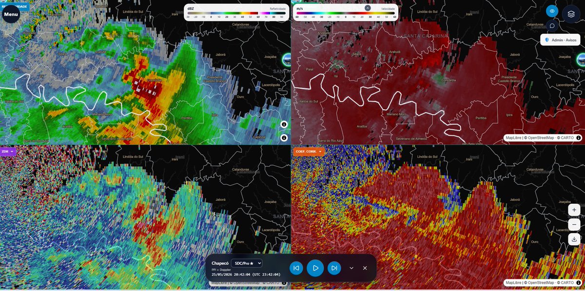
Em teoria, uma visão olhando do norte a sul em direção ao eco gancho dessa mesma supercélula, que se passou ao sul da minha querida Xaxim. Não aparentava ter muita rotação no radar.
Among the numerous large hail reports, at least two tornadoes were caught on camera yesterday. First one in Turvo (same municipality affected by an F2 last year); the second was in Inacio Martins. Both happened in the state of Paraná, with additional tornadoes being investigated.
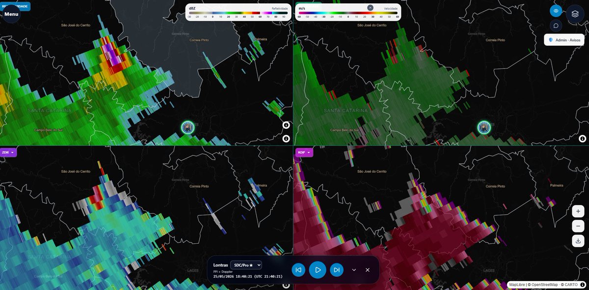
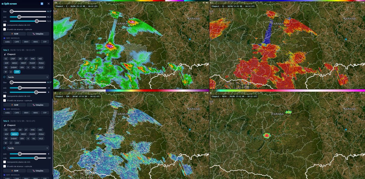
Supercells are producing large to very large hail over Southern Paraná right now. A gigantic TBSS can be seen emanating from the storm near Candoi (also affected by the 11/07/2025 tornadoes). Live radar can be found here: https://t.co/MatsipTqCd
A Nova Geração do Previsão Masters chegou ao Ar!!!
Com orgulho, apresentamos à vocês a nossa nova página Ao vivo!! Trouxemos dezenas de melhorias, funções exclusivas que não cabem em um unico post:
Acesse: https://t.co/fywNDzBJi8
Lionel Messi and the Argentina FIFA World Cup team are about to learn what a derecho and QLCS tornadoes are.
They are based in Kansas City ahead of their imminent first game.
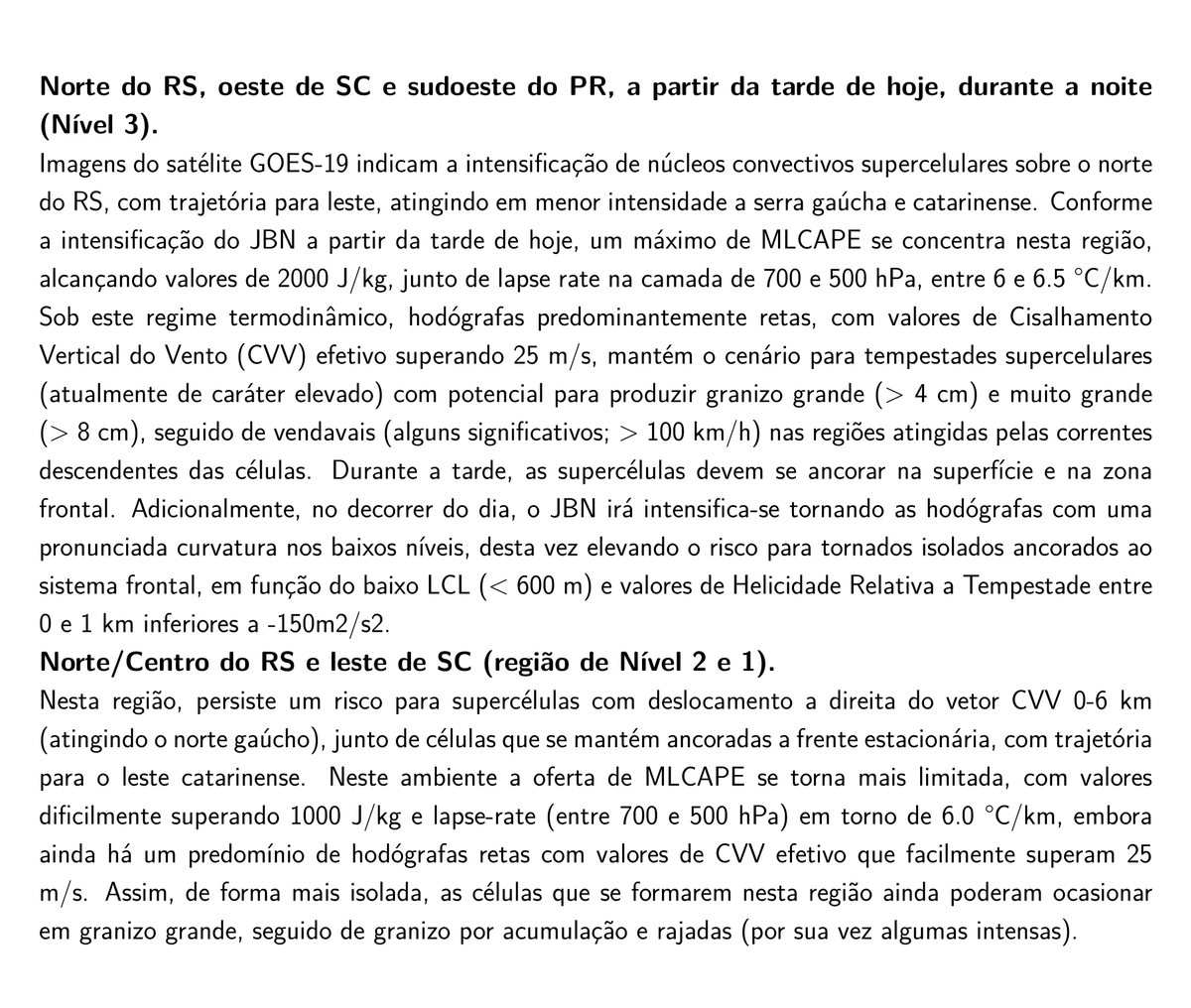
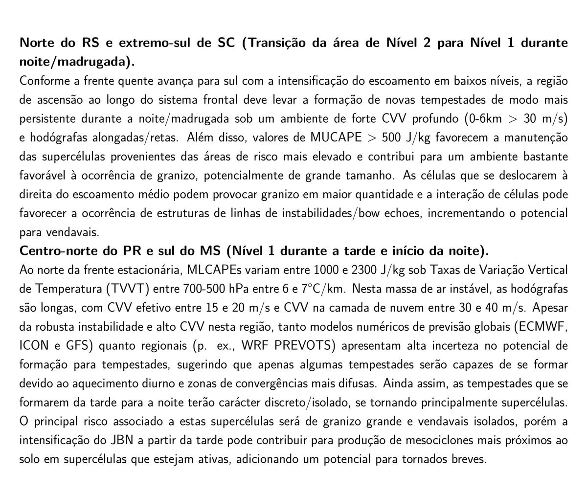
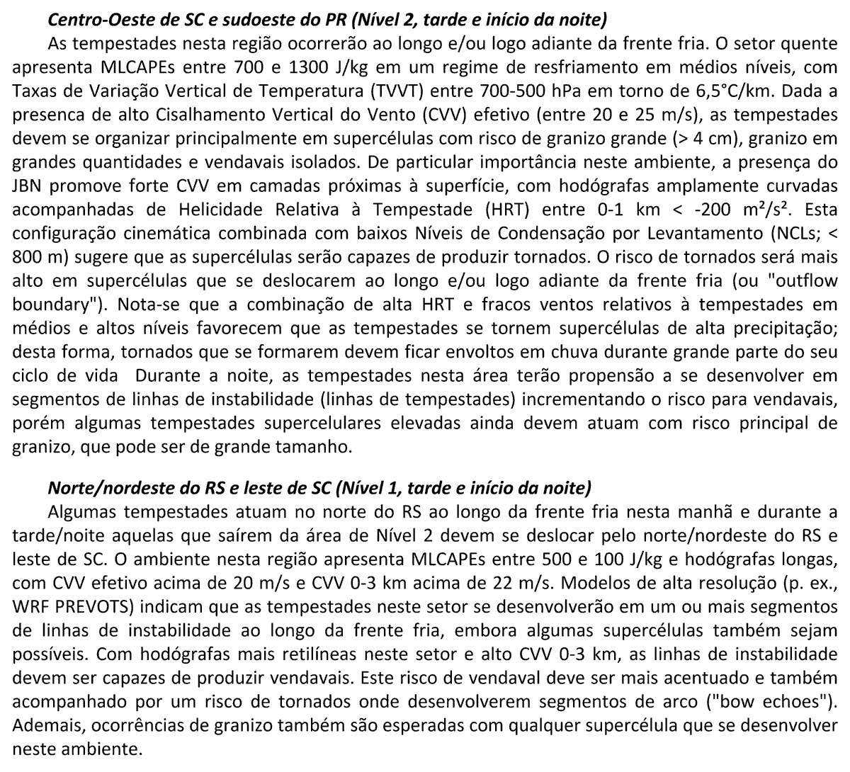
Yesterday, numerous supercells formed along the Level 1 risk area issued in the Prevots Outlook. Several rotating storms produced large and giant hail. It was great to track them with high-quality radars.
Follow along at: https://t.co/PAsOyndOsS
🚨⚡ CHEGOU A HORA!
Lançamos a campanha pra construir a workstation que vai turbinar o WRF 3km do Previsão Master 🔥
✅ Meta R$ 51 mil, 100% transparente
✅ Quem apoia ganha Premium (até vitalício!)
✅ A partir de R$ 10
👉 https://t.co/G4jnoqPw5S 🌪️💜
Trabalho e sofrimento com o WRF está se pagando com a performance dele hoje. Para além do granizo já registrado, potencial para granizo grande/muito grande e, eventualmente, rajadas de vento intensas persiste no sul do MS, norte do PR e oeste de SP para essa noite e madrugada.
Significant severe weather expected over a broad area of the Brazil as shortwaves embedded in westerly subptropical jet flow trigger decent low-level response. Long-track supercells are likely to produce large hail, but a sneaky tornado cannot be ruled out.