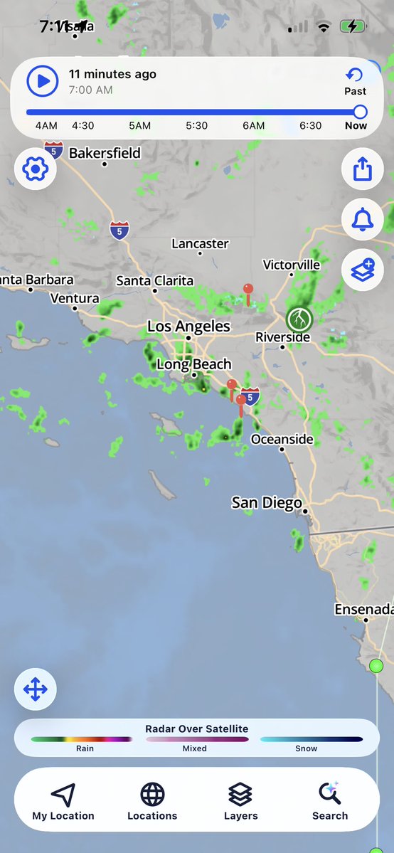
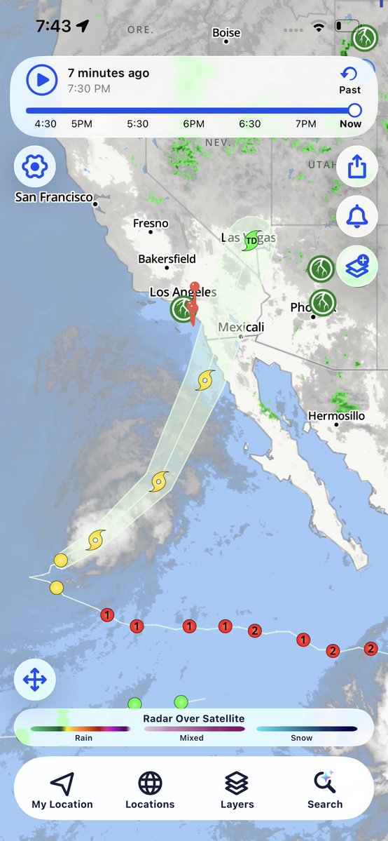
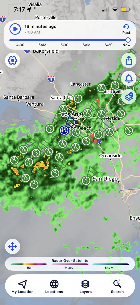
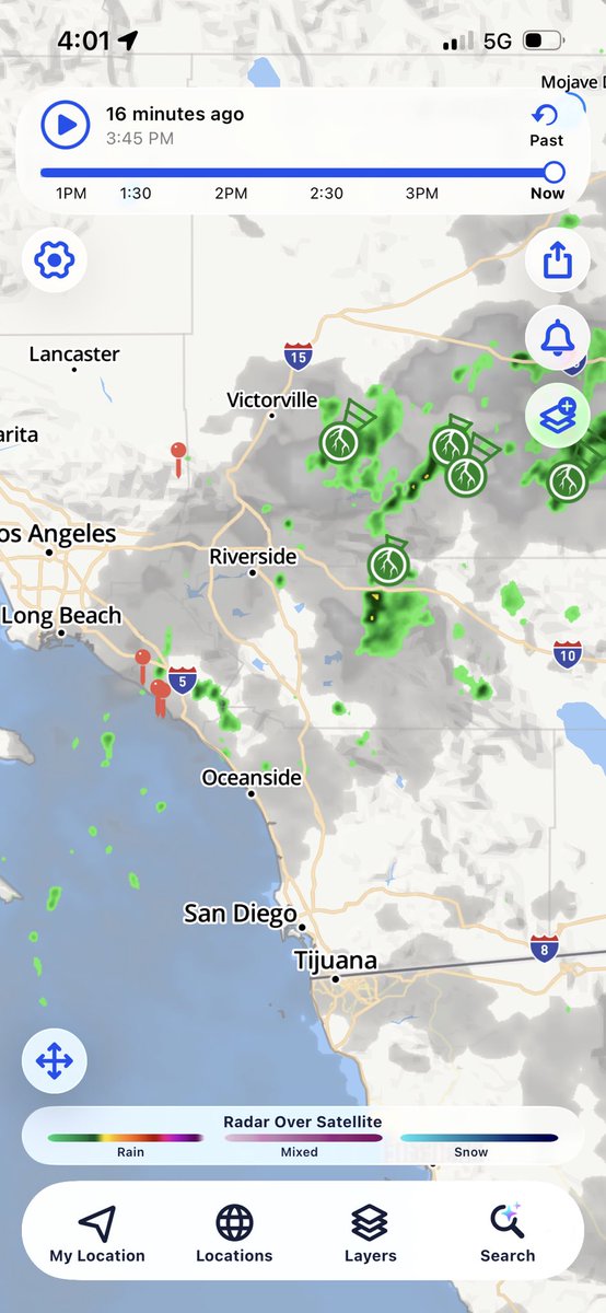
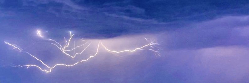
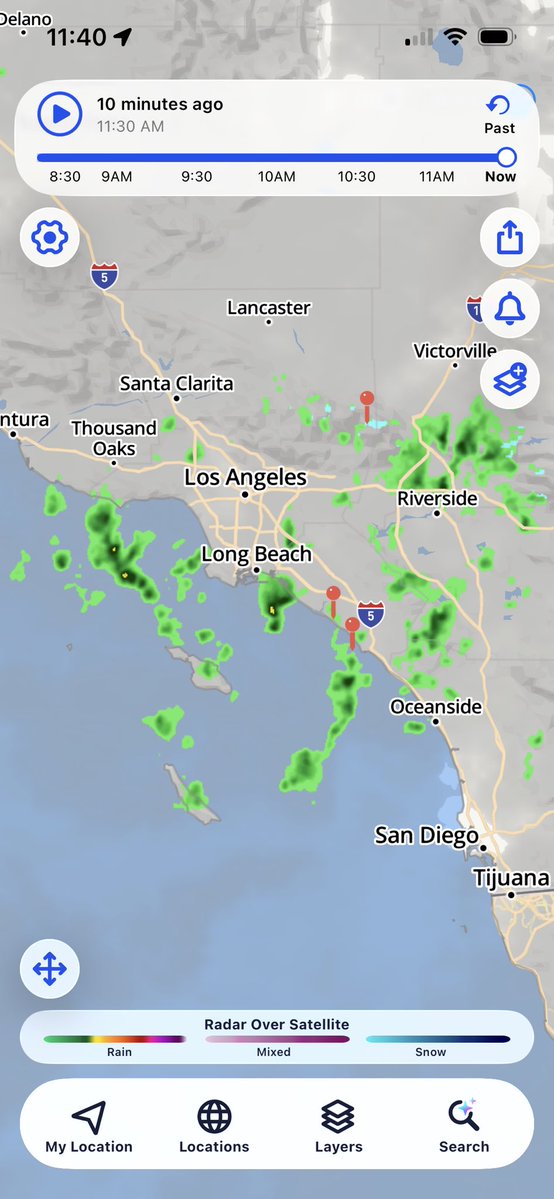
(October 10 & 11th) Radar from tropical storm Rachel. The most severe wind impacts were felt in northern Baja. Good soaking for south spots these days.
All systems a go for a extremely unusual and rare tropical storm landfall near San Diego Saturday the 10th into Sunday the 11th. Not everyone may see winds gusts 39+ mph sustained but as of now San Diego has the highest chance for that after being issued a rare ts watch 🌀🌧️⛈️🌴
A Tropical Storm Watch has been issued across the entire county of San Diego. Please read the graphic below and visit https://t.co/s6moFtbri5 for more information.
Before this year, the Pacific had a Category 5 and a Category 4 at the same time once. In 1997.
It's now happened twice in one month.
September 2, and right now.
This is what a record El Niño does to the Pacific.
Hawaii's Big Island is the one to watch this weekend, mostly for flooding rain.
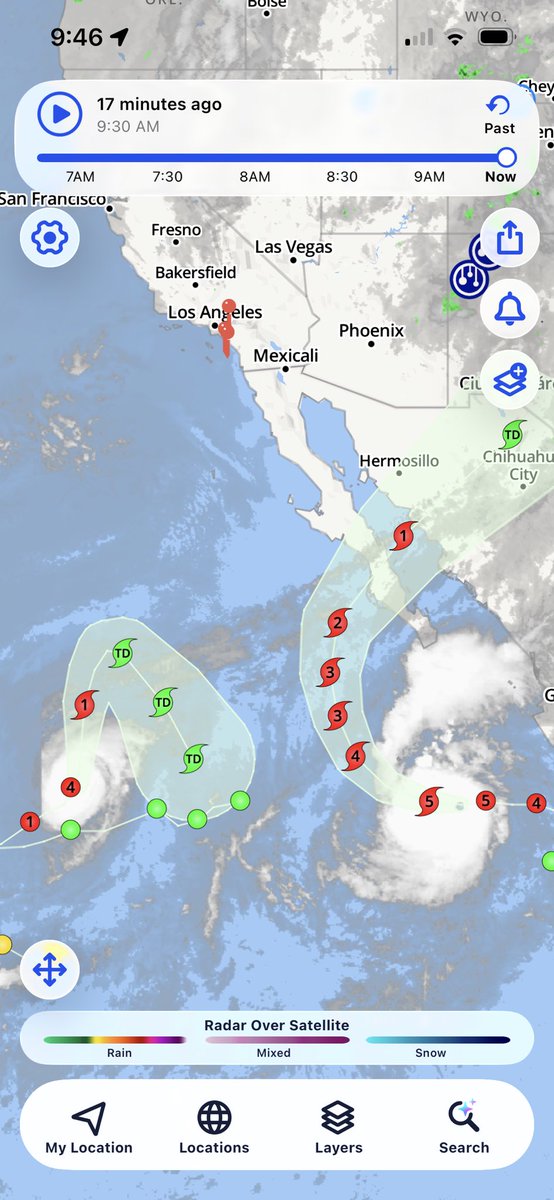
(September 25th) Another flurry of hurricanes in the east and central pacific. This image focuses on the two monster east pac hurricanes with odalays and polo at cat 4 and 5 strength respectively as of today. Tropical rain is still a possibility in SoCal with swell at a minimum🌀
(Sept 22nd) Hurricane Polo is an intimidating beast of a hurricane in the southeastern pacific right off the coast of Mexico City. This category 5 storm is on a track north and could be the next system to bring tropical rains to the area!🌴🌦️
It is dangerously HOT and HUMID! Here are all the spots that have already hit 100 as of 1pm today. Most heat indices (how it feels) are running 5-10 degrees above the raw temperatures. It is only going to get hotter. Seek cool spaces now. Check in on the elderly. #cawx
(September 8th) another day of impacts from hurricane Marie moisture. Thunderstorms impacted the north regions but just about everyone saw some of the worst humidity and heat ever in SoCal. Overnight lows wouldn’t go below 80 😬
(September 7th) well more hurricane moisture is still in our area and we squeezed out some more showers this morning adding to very good 2-day rain totals for sepetember standards. The biggest concentration was in LA and north OC for this tropical event 🌺🌧️
(September 6th) moisture from hurricane Marie and low pressure off of Northern California produced rain showers for September! Rain was very light on and off most the day with totals coming out to be 0.25in with locally more in other areas. 🌊🌧️🌀🏝️
(Sep 3rd) I apologize for being quiet on this account for a while as the weather has been very uninteresting. The Pacific ocean is not however and 1 of those 3!!!hurricanes down there is going to send us major surf heights and maybe rain chances? 🤔🌊
South swells from a series of tropical systems will bring larger surf & strong rip currents to much of the coastline through the week. Surf will peak Thu-Fri at 4-8 feet for south facing beaches of the Central Coast, Ventura & LA Counties. Strong rip currents also expected.#CAwx
(July 2nd-3rd) just packed my first real midwest thunderstorm while in Chicago and let me just say on the ultra rare occasion LA gets one, they ain’t nothing like this 😂🥀💯
(JUNE 23rd) First sight of a monsoon presence this summer in SoCal. Steady rain fell down while surfing today as instability substantially increased in the afternoon. No lighting yet with this disturbance west of the mountains tho. More to come throughout the rest of the day…🔥