Exploring how satellite images help us identify water bodies, vegetation, and bare land. Every practical is a step towards improving my GIS and remote sensing skills.
#GIS#RemoteSensing#Landsat7
🌍 GIS Academic Project
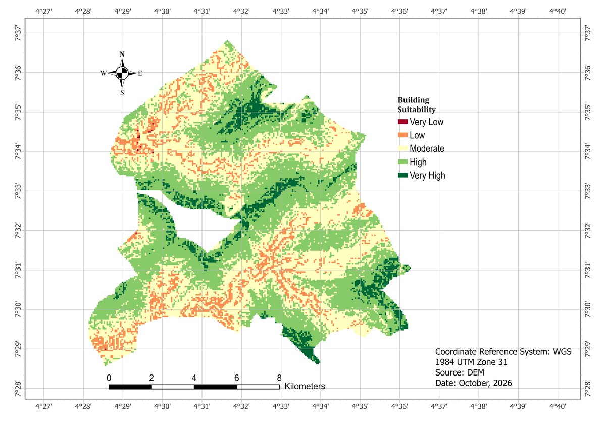
Our group worked on Terrain Suitability Analysis for Building Development in Ife Centre, Osun State, using ArcGIS Pro.
📌 Slope — 43%
📌 Drainage — 43%
📌 Elevation — 14%
Applied Reclassification & Weighted Overlay to produce the final suitability map.
Don't wait until you feel positive to move forward. Act your way into feeling good. That's the only way to start thinking more positively about yourself.