One of the Top 5 most valuable companies in the world has just acquired a license for Over the Reality 3D mapping dataset to train next-generation vision foundation models.
This is a huge milestone for OVER 🧵👇
They say the SpaceX IPO will be a rocket.
We couldn't wait.
So we launched one in the middle of Udine.
Thanks to Over the Reality's city-scale 3D mapping and VPS technology, anyone can place and experience massive AR content anchored to the real world with centimeter-level precision.
The future isn't on a screen.
It's in the world around you.
8/ This is what real-world adoption looks like. Not promises, not whitepapers, a working system inside one of Europe's largest malls.
This is just the beginning.
$OVR
Everyone in spatial computing ships demos.
We just shipped to production.
Our Visual Positioning System is now LIVE inside Città Fiera, one of the largest malls in Italy and Europe.
Not a pilot. Not a test. Real visitors navigating in real time. 🧵
7/ What's next:
→ 15 more malls in the pipeline across Italy → European expansion underway
Indoor positioning is becoming strategic infrastructure for physical retail. We're building the map layer for the world GPS can't see.
A museum in France. Accessible from anywhere in the world.
One of our mappers captured the Musée Archéologique du Val-d'Oise, home to more than 35,000 archaeological artifacts and over 3,000 objects on display.
Using an Insta360 X5 and Over the Reality's reconstruction technology, the entire museum, including its multiple floors, has been transformed into a high-fidelity 3D Gaussian Splat and digital twin.
This means anyone can now explore the museum remotely, walk through its galleries, move across different floors, and experience the space as if they were there in person.
What was once a physical location is now a machine-readable 3D environment, preserved digitally and accessible through a browser, smartphone, or XR headset.
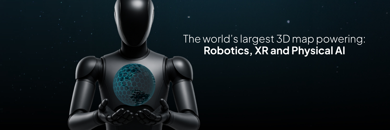
From museums and cultural landmarks to entire cities, Over the Reality has built the largest 3D map of the world.
The link to explore the experience remotely is available in the first comment.
Have you ever seen a robot walk along a waterfront, understand its surroundings, and look out at the sea? 🤖
Thanks to Over the Reality, this is possible.
Places like this are mapped every day by our global community of 360 mappers. Using our technology, they are transformed into high-fidelity machine-readable 3D Gaussian Splats.
This data can be used to:
• navigate robots through the physical world
• train AI and Visual Models
• power VPS localization
• anchor persistent XR content to real-world locations
This is just one of more than 250,000 real-world locations already mapped by the Over the Reality community.
And unlike traditional datasets, these places can be explored directly through a smartphone, browser, or XR headset, allowing anyone to navigate and experience them in first person.
From city streets and waterfronts to landmarks and cultural sites, we're building one of the world's largest machine-readable maps for AI, robotics, and spatial computing.
Large-scale Gaussian splats have reached a new level of realism.
This is a well-known temple in Bangkok, reconstructed as a high-fidelity 3D environment from 360 captures.
At this level, the boundary between video and 3D starts to disappear.
But what you’re looking at is not a video.
It’s a dense spatial representation of a real place, where geometry, texture, and structure are preserved and made machine-readable.
This kind of 3D data can power Visual AI, Robotics navigation, VPS localization, XR experiences, world models, and next-generation spatial computing systems.
Built with Over the Reality.
Have an Insta360 X5 and want to become a mapper?
Apply here: https://t.co/Gwvlh98PEg
Want to turn your own videos into 3D Gaussian Splats?
Do it for free at https://t.co/oxPscuwpbs
More and more users are turning their 360 footage into fully explorable 3D Gaussian Splats with https://t.co/aglcdM8uBr
View it here: https://t.co/w8hLzCqhe5
This reconstruction started from a simple capture and is now a fully explorable 3D Gaussian Splat rendered in the FreeGaussian viewer, complete with point cloud reconstruction and high-fidelity spatial detail.
More and more creators are discovering that their existing footage can become immersive 3D scenes.
And they’re doing it for free with @FreeGaussian
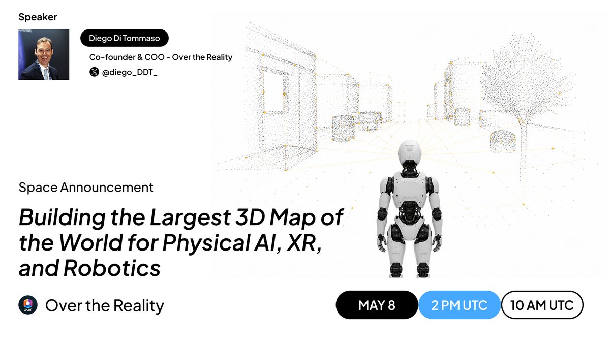
We’re hosting a new Twitter Space 👇
Building the Largest 3D Map of the World for Physical AI, XR, and Robotics
🗓️ May 8
⏰ 2 PM UTC | 10 AM ET
https://t.co/zVAtTmFNuM
Speaker: Diego Di Tommaso, Co-founder & COO of Over the Reality.
We’ll discuss how city-scale 3D mapping is becoming the foundation layer for Physical AI, robotics, XR, and world models, why real-world spatial data is emerging as a key asset of the Visual AI era, and how Over the Reality’s growing dataset can generate value and revenue across the $OVR ecosystem.