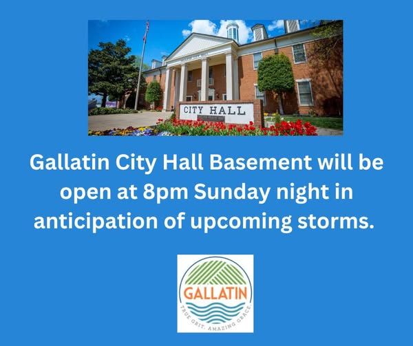
Important! "The Gallatin City Hall basement will be open at 8pm Sunday night in anticipation of upcoming storms. Anyone wishing to seek shelter in the building is advised to bring any supplies or medication that may be needed. The building will remain open until the weather threat has moved out of the area."
Good Morning, SumnerSevereWxFam! How are we this morning? Just a few things to note that has changed:
-Wind Advisory is now in effect until tomorrow at 7AM
- SPC has pushed the 10% tornado threat more to the West
- SPC has pushed the 45% Damaging Winds to right at our doorstep
- ETA is now 9-11pm for the line to get here
- Make sure to have MULTIPLE way to receive warnings
- Power Outages Likely
- Got a meeting with NWS at 1PM, will do a more detailed post then
- Be sure to follow TRUSTED sources! 📷
- Concern-O-Meter is still at 5 (out of 10) and that's mainly for Damaging winds
Today is beautiful across Middle TN, but we are watching a storm system expected Sunday evening into Sunday night.
The main concern right now is damaging winds with a line of storms moving through the state.
Nothing to panic about, but it is something to prepare for.
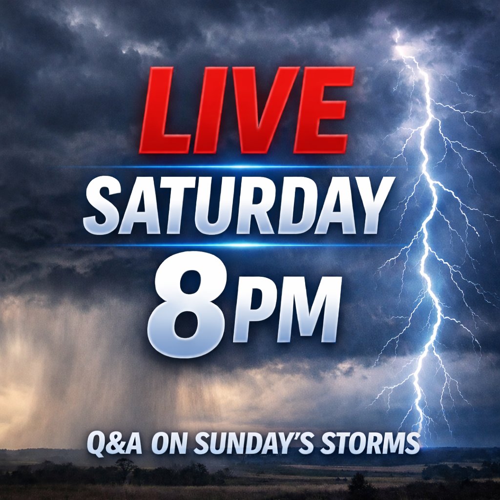
I’ll be going LIVE tomorrow around 8 PM to talk about the Sunday evening/overnight storm system.
I’ll cover:
• Timing
• Main threats
• Preparation
• WeatherCall alerts
• Latest forecast updates
Plus answer your questions live.
Share so others can join in.