Land cover science lead (Adopt-a-Pixel) for NASA’s GLOBE Observer. Instructor of Geography & Geospatial Science at Oregon State University. #TreesAroundTheGLOBE
👋 I am excited to share how we are "Engaging the Public in S.T.E.A.M with Landsat". View it here and join the conversation...https://t.co/Pu7jEybJ0e #STEMvideohall
Join me in celebrating #Landsat50: 50 years of Earth Observations from space with the #Landsat mission! 🥳🛰️📡🌇🌲
Watch the solar eclipse with NASA on Saturday, Oct. 14! We'll have live updates as the "ring of fire" crosses from Oregon to Texas, starting at 11:30am ET (1530 UTC).
Send us your eclipse Qs with #AskNASA—and check out what you'll see from your town: https://t.co/ZWXjeCTqls
🤔 Do you wonder:
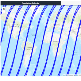
🛰️When the Landsat satellites will collect over your AOI?
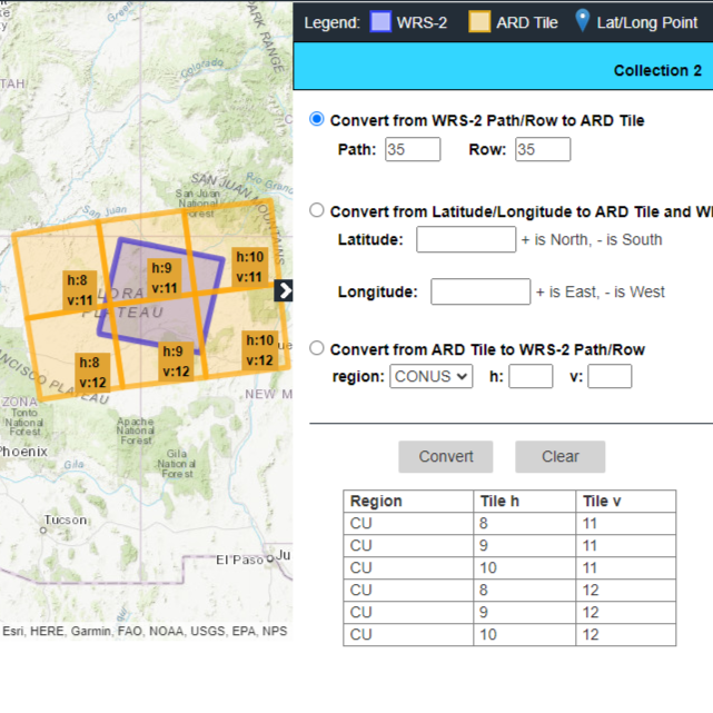
🎯How to convert #Landsat Path/Rows to ARD Tiles?
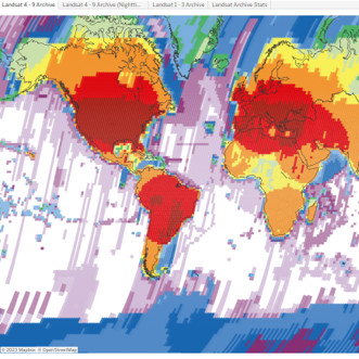
👀How many Landsat scenes are in the USGS EROS Archive?
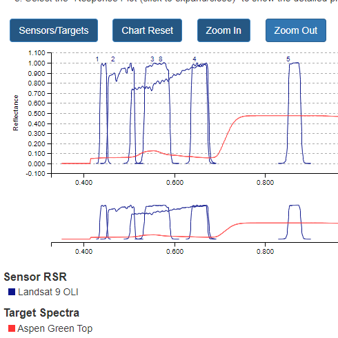
🤓Which Landsat bands are best suited for your research?
Check out https://t.co/FURO6ai5uz!
Experience level: 50.
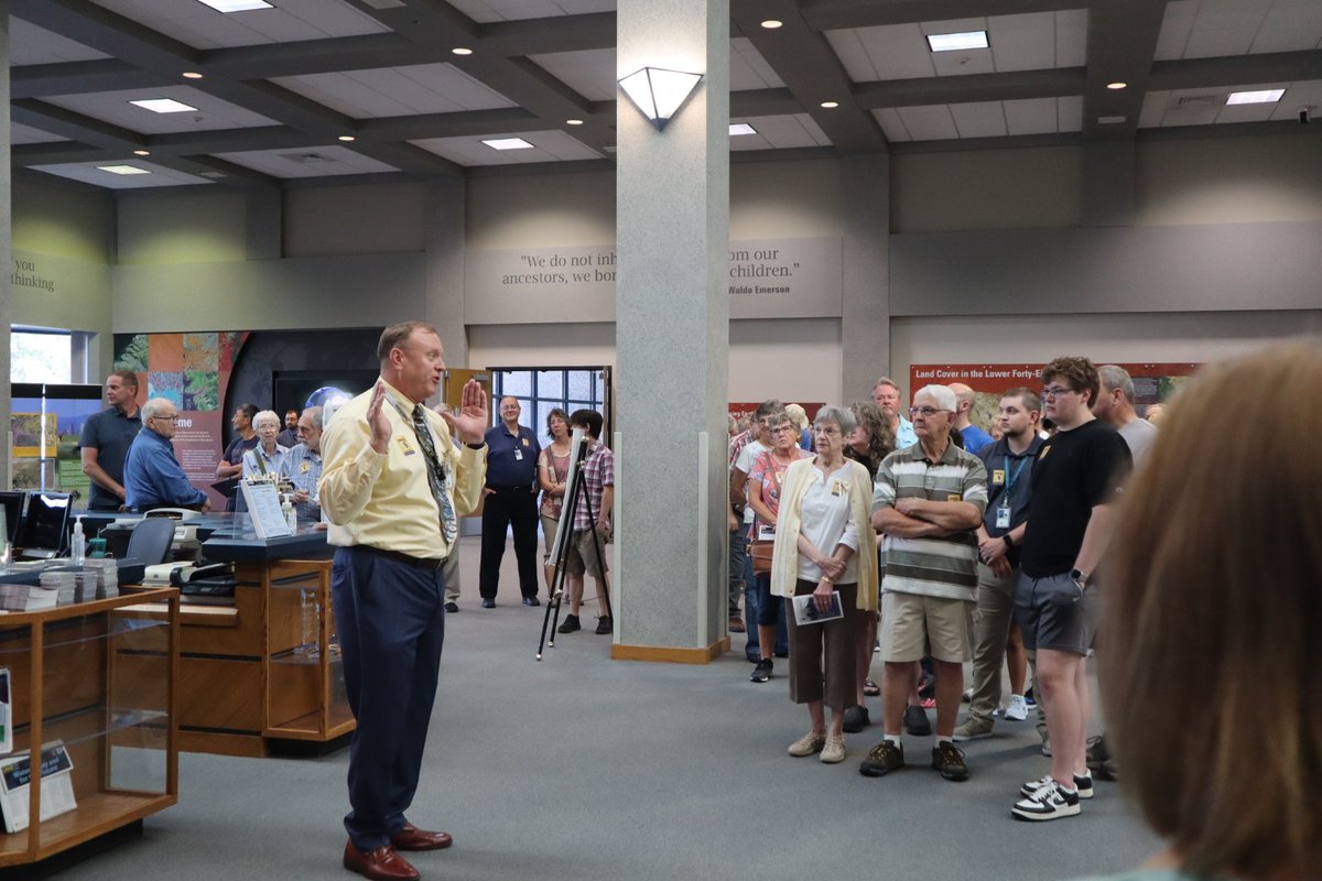
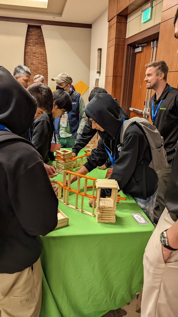
Invited family and friends gather today at @USGS_EROS to celebrate 50 years of remote sensing science, 50 years of satellite imagery, and 50 years of land change science.
Starting 24 Jan, this 3-day @NASA training will provide attendees an overview of citizen science efforts that use Earth Observations. Members of the @GLOBEProgram community will speak on day 3. https://t.co/Zs4WqC35H6
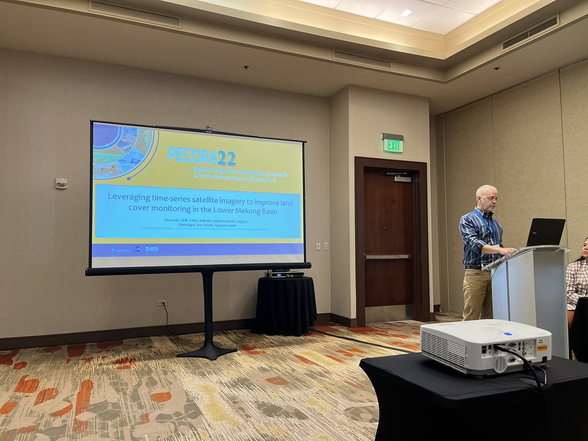
So glad to highlight a powerful tool for seeing Earth! Let's talk about how to "Build a pixel with 50 years of Landsat to share an important story or memory" https://t.co/CQ7X78HIB3. Thanks @USGS_EROS for being a steward of public science. @AmericaView#Pecora22
Se. Russel Congalton (New HampshireView) at University of New Hampshire talking about mapping forest gains and losses using 2018 #Landsat data. https://t.co/wA2NlY712W
Thanks @jstnbraaten for being part of our special session on “Community Science through Remote Sensing”. Visualizations like this reveal the power of #Landsat. Anyone can make their own using this site (1984-2022) https://t.co/uZCO30qg8y
📢"Free and open data policy is key to the ongoing success of the #Landsat program"
Zhu et al. @GERSLab Benefits of the free and open Landsat data policy. #opendata#Pecora22
Graphic shows relationship between cost and use, by application (#timeseries).
🔗https://t.co/jLRe8Gqltl
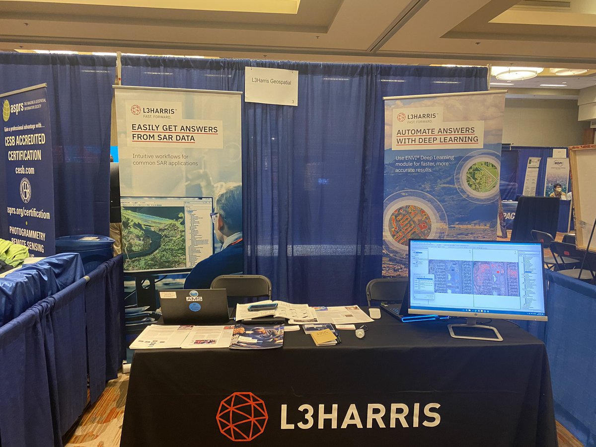
For those of you looking for the #ENVI @GeoByHarris booth, we are here. Come chat/see demos about #deeplearning#machinelearning expanding your license to the cloud or large scale computing on @awscloud#Pecora22
Pretty amazing to see recognition for 20 years of effort to teach us about the world around us! Thanks @AmericaView for the dedication to showing us a new way of seeing our world. 🎉🥳🙌
Today was a special day for the @AmericaView network. On behalf of AV, Exec. Dir. Chris McGinty and Program Dir. Lisa Wirth accepted the @usgs and @nasa William T. Pecora award. This is a well-deserved award for 20 years of Empowering Earth Observation Education!
Say cheese…now hold it for a half-century! 🧀
At #Pecora22, we’re celebrating the innovations and discoveries that resulted from 50 years of #Landsat Earth observations.
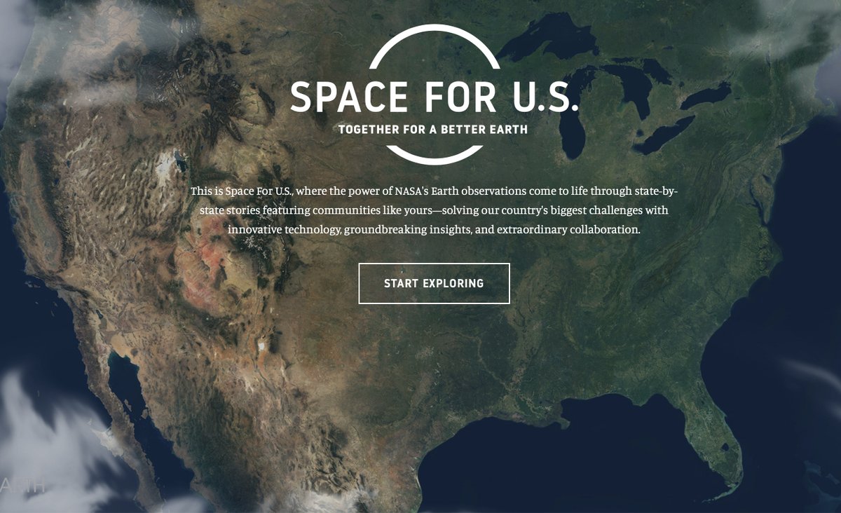
Explore how Landsat data is being used in your home state: https://t.co/gz6o8X6y1h
#Landsat50
Excited to celebrate 50 years of public, taxpayer funded science with a new book for the library: #Landsat Enduring Legacy. Thanks to those that contributed to an incredible record of our lives on planet Earth! Generational science is not easy. #Pecora22 https://t.co/9p2eNsmPyA
Thanks for joining @GERSLab , your work is a great resource for understanding our changing world! I’m glad I could highlight how @USGSLandCover is using CCDC 🛰🌎
@SotheCamile@USGSLandsat@NASA_Landsat Wow! That is some really interesting land cover changes happening there. I wonder what this looks like on the ground?