Transforming and translating complex geo data into valuable business insights through user-friendly geospatial solutions. Reach out at [email protected].
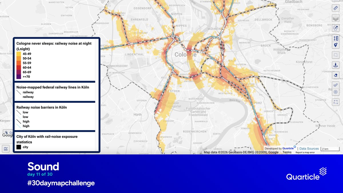
Day 11 of #30DayMapChallenge: Senses – Sound
Mapping night-time railway noise in Cologne, one of Europe's busiest rail hubs.
The map shows noise levels along 50 railway lines, highlights 35 km of noise barriers, and reveals how rail noise spreads across the city.
#GIS
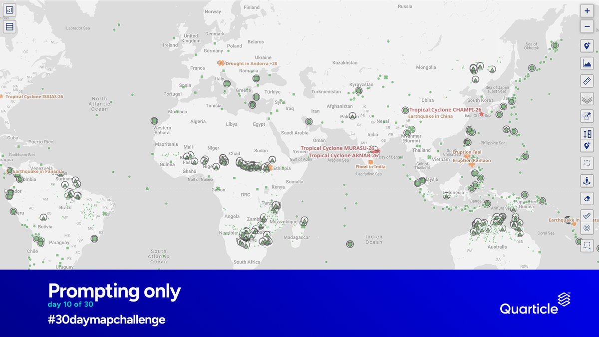
For #30DayMapChallenge Day 10, the theme is Prompting Only.
This map brings together GDACS (Global Disaster Alert and Coordination System) alerts from the last 30 days, covering earthquakes, tropical cyclones, floods, volcanoes, droughts, and wildfires.
#DisasterAlerts#GIS
Day 9 of #30DayMapChallenge: Urban–Rural
How accessible are healthcare services across Europe?
This map shows road travel times to the nearest healthcare facilities in urban/rural areas.
Explore the layer: https://t.co/aU2Pi0pgar
#GIS#GeoIntelligence#Accessibility
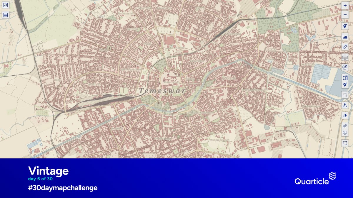
For #30DayMapChallenge Day 6, the theme is Vintage.
What would Timișoara look like on an 18th-century map?
We recreated the city in the style of the Habsburg First Military Survey (1769–1772), using modern #OpenStreetMap data and distinctive cartographic conventions.
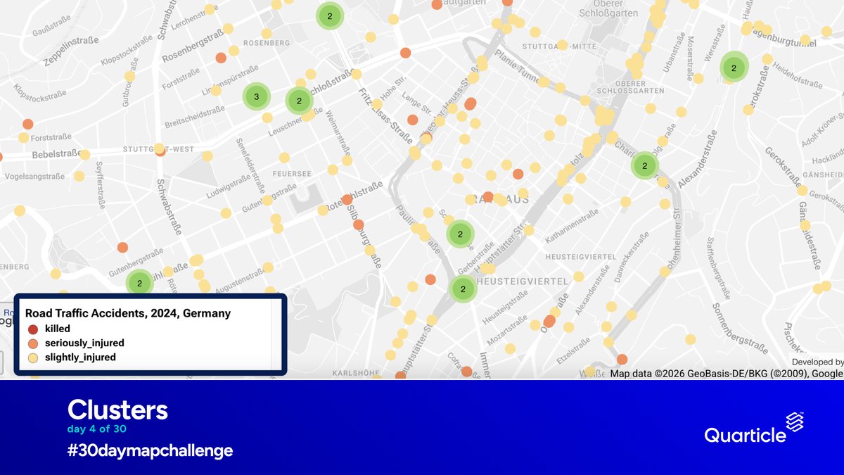
Day 4 of #30DayMapChallenge: Clusters
Mapping road traffic accidents in Germany (2024), with a closer look at Stuttgart.
The clusters reveal where accidents are concentrated and how severity varies across locations.
#GIS#GeoIntelligence
We’re joining the #30DayMapChallenge!
Day 2 of 30: Lines — submarine cables.
Our global Submarine Cables layer maps active and planned cable routes behind global connectivity.
Explore it in the Quarticle Data Catalog:
https://t.co/udrTVCzqae
#GeoIntelligence#GIS
What should you expect when working with #Quarticle?
Our approach is built around six principles that guide how we develop our #technology and work with our clients.
These principles shape how we work, from the first conversation to deployment and ongoing collaboration.
Still processing geospatial data manually every time you need an update?
GeoModel by #Quarticle turns geospatial processing into reusable workflows. See how meteorological data becomes a live forecast layer in just a few clicks.
Learn more: https://t.co/ILviV1nEFj
#GIS
Quarticle is pleased to support @GeochicasOSM as it celebrates its 10th anniversary!
We’re glad to contribute to initiatives that strengthen the open geospatial community.
Congratulations to GeoChicas on this milestone.
#Quarticle#GeoChicas#OpenSource#Geospatial
Meet the core team building and developing Quarticle’s geospatial technology:
Dr. Octavian Iercan — CEO
Andrew Frei — COO
Mihai Csaky — CTO
Ricci Facalet — Lead Software Engineer
Ionuț Ungurianu — Lead GIS Engineer
Find out more: https://t.co/57A5GtRvRH
#GeoIntelligence#GIS
When a flood hits, how much of your insured portfolio is exposed?
Graph by #Quarticle overlays event footprints with portfolio data to quantify insured exposure and accumulation in affected areas.
See it in action for the 2024 Valencia floods.
#Insurance#GeoIntelligence
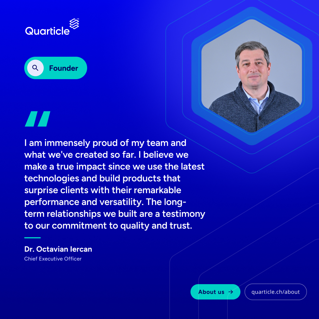
What makes a geospatial technology company matter? The people behind it, the products they build, and the trust they earn from clients over time.
Our founder and CEO, Dr. Octavian Iercan, shares what drives #Quarticle.
Read our story: https://t.co/57A5GtRvRH
#GeoIntelligence
Your #GIS infrastructure should support your operations, not slow them down.
Quarticle’s cloud-native approach simplifies geospatial infrastructure, reduces operational overhead, and supports more reliable deployments.
➡️ https://t.co/fQJEurMFqx
#CloudNative#Geospatial
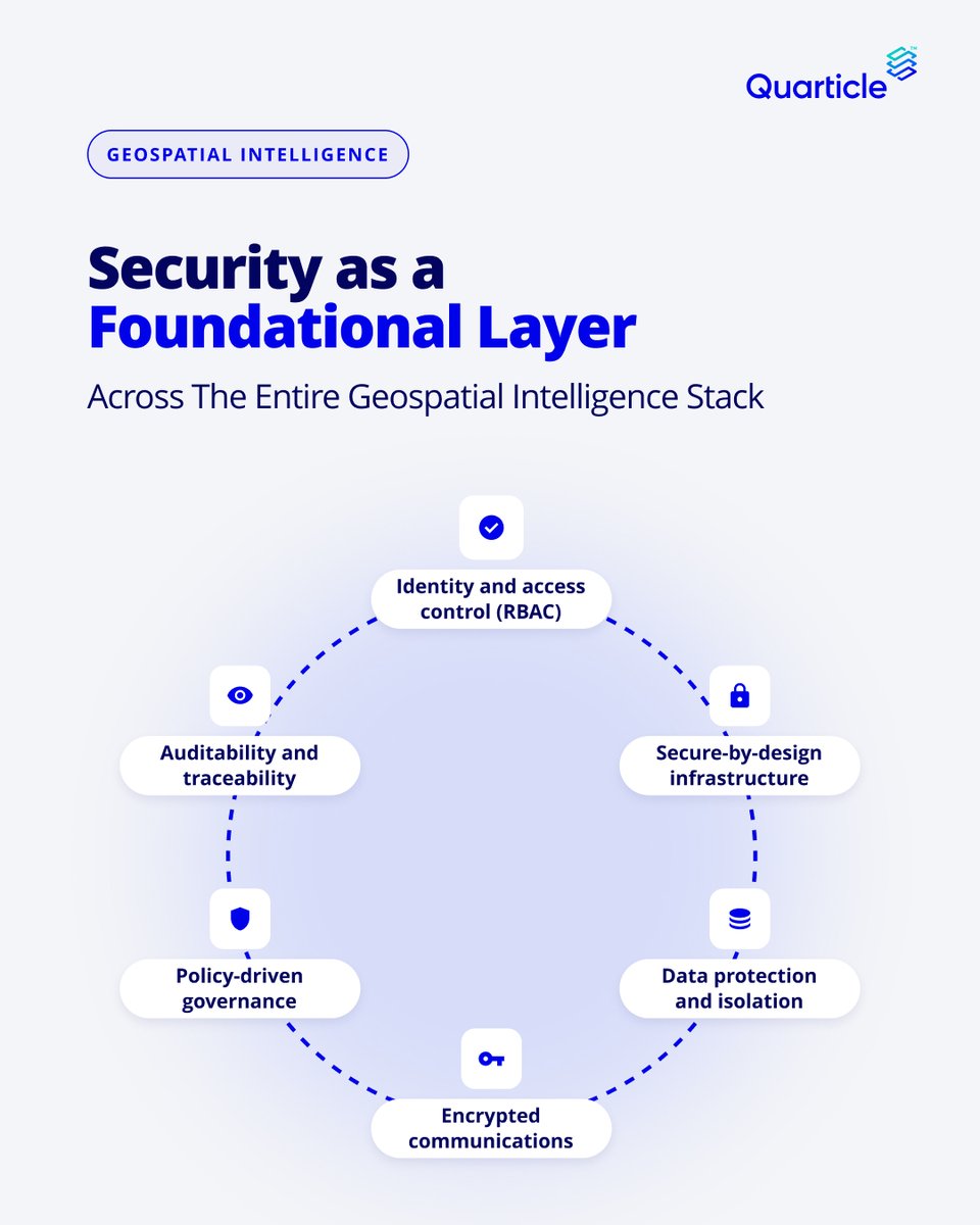
Security must be built into enterprise GeoIntelligence.
Quarticle integrates access controls, encryption, workload isolation, governance, and auditability across its geospatial stack.
Built for environments where data security and control matter.
https://t.co/ILviV1nEFj
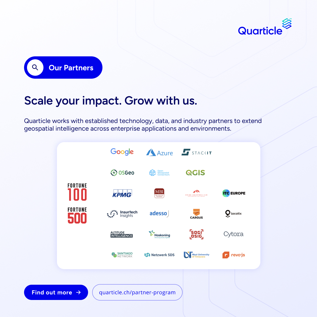
Quarticle collaborates with technology providers, data specialists, consultants, and industry partners to bring cloud-native GeoIntelligence into enterprise workflows.
Interested in working together?
Explore our partner program: https://t.co/viIipLyqpD
#GeoIntelligence#GIS
What defines the way we work at #Quarticle?
Our core values shape how we collaborate, make decisions, build technology, and work with our clients.
➡️ https://t.co/57A5GtS3Hf
What is the geospatial execution gap?
It’s the gap between proving a solution works in a pilot and making it reliable in day-to-day operations.
Our latest blog explores why geospatial projects struggle to move from pilot to production.
👉 https://t.co/BqXTKgb2fG
At #Quarticle, we build technology that connects #geospatial data with the systems, workflows, and people that depend on it.
Because the value of geospatial data isn’t in having more of it. It’s in being able to use it for your business.
Let’s talk: https://t.co/Ogx9vUur7v
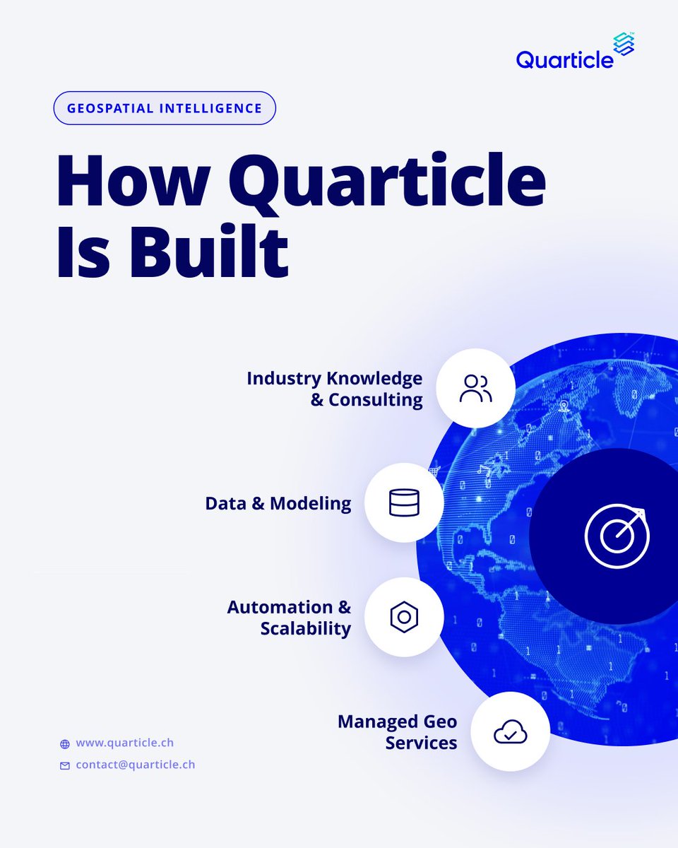
What does it take to turn geospatial data into operational intelligence at enterprise scale?
At #Quarticle, we combine data, automation, expertise, and infrastructure to build production-ready #geospatial solutions.
https://t.co/ILviV1nEFj
#GeoIntelligence#Kubernetes#GIS
What does a modern #GeoIntelligence stack need?
How about scalable infrastructure that connects geospatial data, processing, and applications.
#Quarticle builds cloud-native, #Kubernetes-powered infrastructure for public, private, and hybrid environments.
Let's chat.