The Irish Quaternary Cycle starts March 15th 2019. We will be riding the length of Ireland, tweeting about the geology we encounter & meeting local geologists.
Thanks to everyone who's helped make the Irish Quaternary Cycle a success: Aidan, @MikeSheehy70, Xavier, Catherine, Gemma & @CathalJordan1. A massive thanks to those who provided food & shelter: Benjamin Thebadau, @Quaternary_Irl @DrSadhbh @EOS_NUIG@BurrenGeopark @mageopark
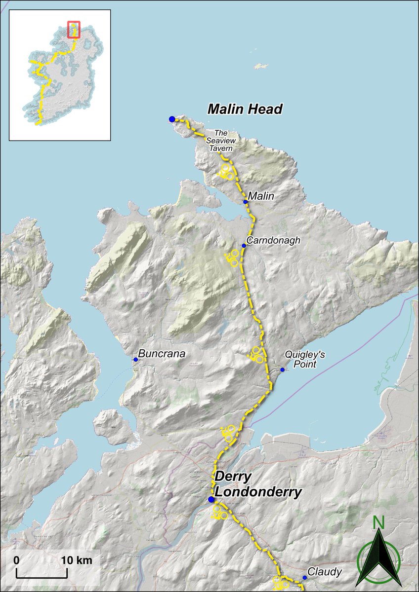
The End! Made it to Malin Head c.1330. I'm in awe of the achievements of others. Despite much talk of Marcconni's pioneering work, there is no mobile signal 😬 Fantastic views of the Donegal coast, stripped bare by the Malin Sea ice stream & the harsh northern Ulster weather
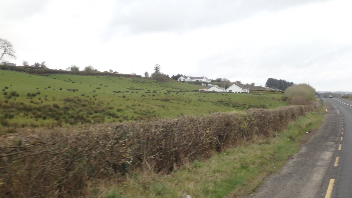
After some round the hosts navigation (literally) I escape Doire & start up the Inishowen Peninsula, where the main road runs parallel to at least 2 sets of post glacial raised shorelines. Francis Synge would have loved this. @Quaternary_Irl
Our last day in the saddle across the Inishowen peninsula. Glacial landforms indicate that ice from the Donegal ice cap coalesced with ice from the Sperrins. These would have flowed north & merged with ice from Scotland flowing west across the Malin Sea towards the shelf edge
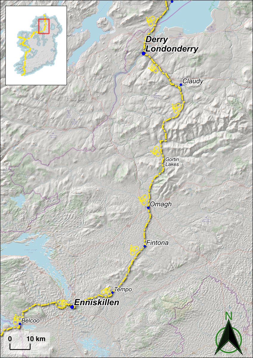
A cracking afternoon riding across the Sperrin mountains. The weather was glorious & e crossed over watershed divides via meltwater breaches finding eskers on the lower slopes both sides 😊 Where you find one, you find the other @Quaternary_Irl@OpenQuaternary@QuaternaryRA_UK
On the NW side of Claudy we find evidence of permafrost (ground frozen for more than 2yrs) in the form of patterned ground - a phenomenon caused by polygonal frost-cracking. Kilroe also identified an infilled frost-wedge near here during the 1908 survey of Londonderry.
We arrive at Gortin Lakes in the Sperrin AONB. These are kettle holes in a series of stepped ice-marginal lake deltas. These formed as meltwater from the southerly Omagh ice cap spilled onto the Owenkillew glacier, carving out Gortin Glen, a meltwater channel, in the process.
Try this hillshade in the region around Ballynahinch, Co Down from the forthcoming guide to the 'Glaciation of the Mournes', a post congress fieldtrip for @INQUADUB19
Another long day in the saddle, c.100 km over the Sperrin mountains to Londonderry! The land between Enniskillen & Omagh is dominated by sinuous esker ridges & mounds that follow deep-seated fault networks. Faults often act as guides for ice flow, even across low lying terrain.
We make good progress this morning, despite an unorthodox route along a meltwater channel, with great views of the many eskers along the Tempo Valley fault @GeoSurveyNI@Quaternary_Irl@QuaternaryRA_UK
Visited Marble Arch Caves via the Marlbank (very) Scenic Loop on the way to Enniskillen, seeing as it's only 'small buns'🤣Thanks to @mageopark for a very interesting tour of a cave system that has been developing throughout most of the Quaternary @Quaternary_Irl@QuaternaryRA_UK
We met with Martina O'Neill from @mageopark in Belcoo. She tells us about the successes of the geopark, including the Marble Arch Caves, Cavan burren & the Shannon Pot, as well as some of the problems associated with increasing popularity of some sites like Cuilcagh mountain
Visit to the Glencar Waterfall, in the valley of the same name, a location that inspired WB Yeats to write 'The Stolen Child'. 'The valley of the pillar rock' may refer to the vertical cliff face of the Dartry Mountains, whose lower slopes are mantled by postglacial talus
Drumlins galore & dramatic cliffs await today as we cover ~100km from Sligo into Fermanagh, aiming to arrive in Blacklion c. lunchtime today & meet Martina O'Neill from @macgeopark before we cross the border into Belcoo #bedformsatbrunch#bedforms4breakfast
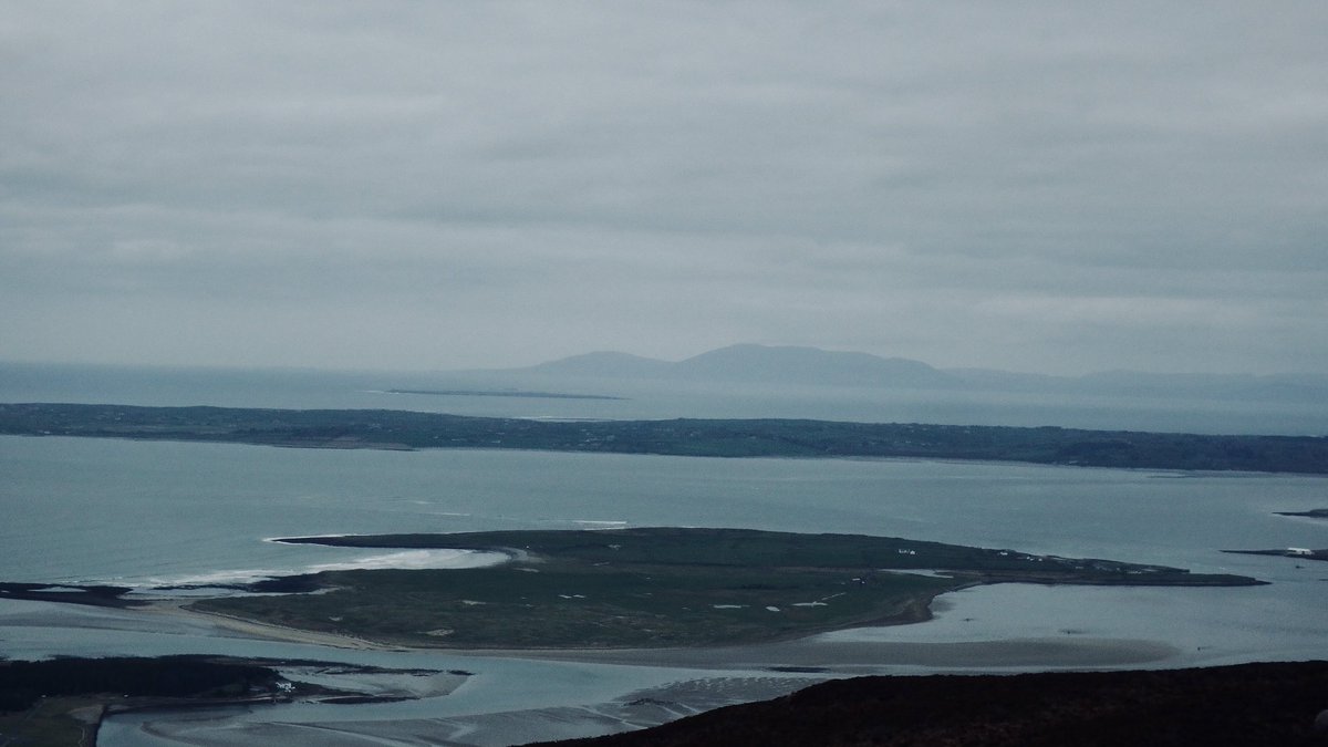
Fine views of Co. Donegal & Strandhill from Knocknarea's summit (Co Sligo) & the imposing sight of 'Meabh's Lump', possibly a passage tomb from c.5000 kya. Although the cairn is thought to be composed mainly of local limestone, other lithologies have also been carried up.
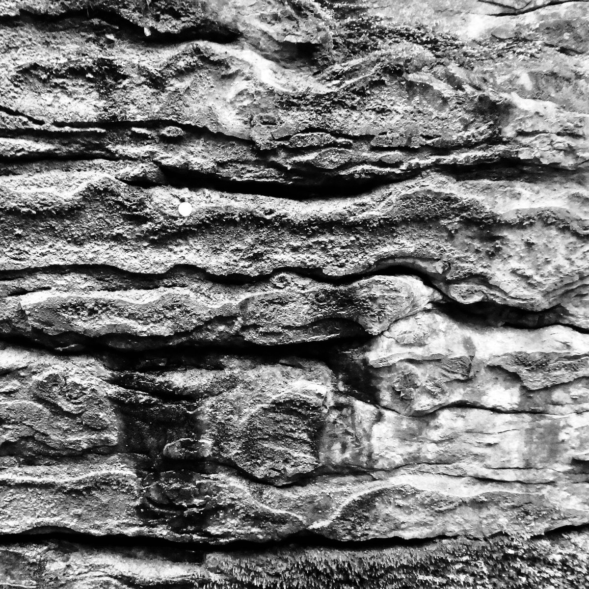
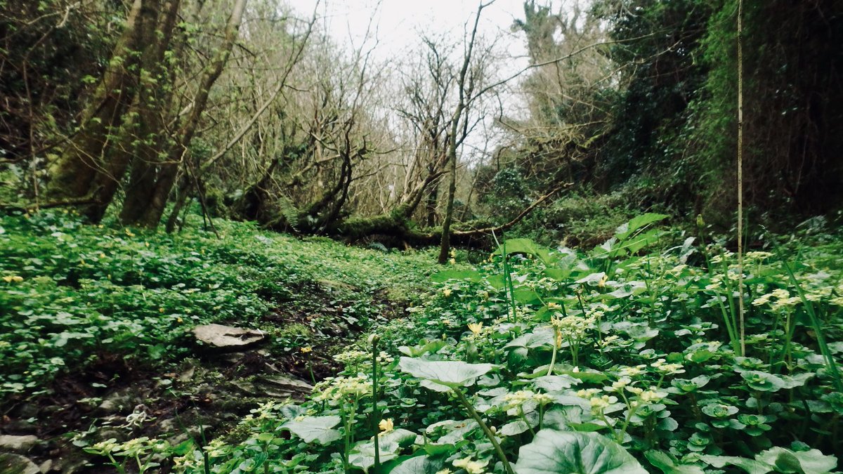
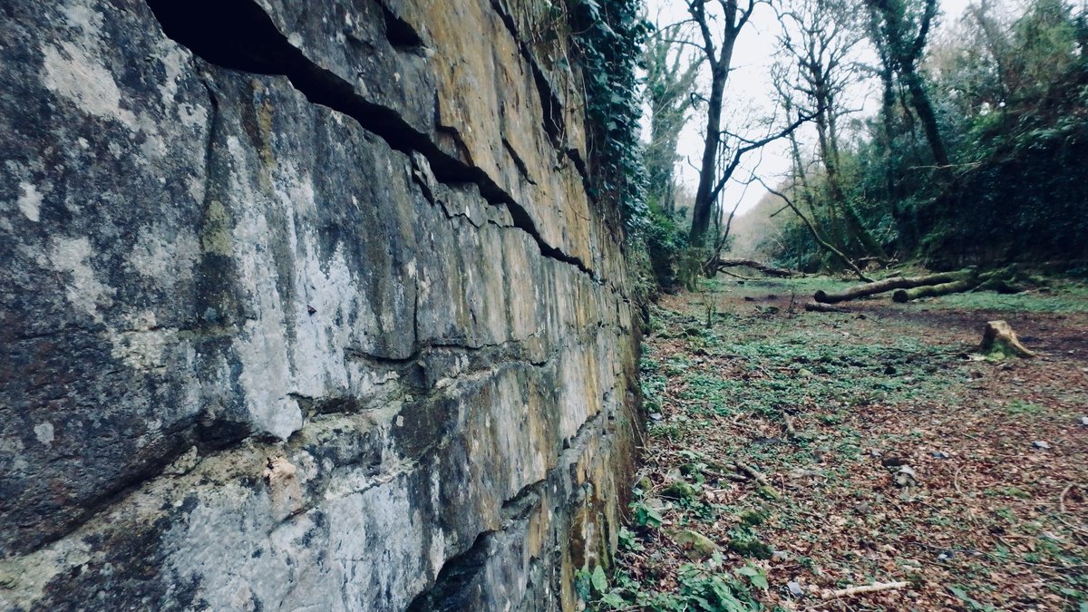
2nd rest day @Strandhill.The Glen of Knocknarea is a km long fault-guided gorge.Its massive Visean limestone beds give it an air of some failed Victorian enterprise.The gorge is adj to extensive outwash deposits,but there's ltd evidence of glaciofluvial erosion in the Glen itself