Safer, faster, better data for 2023
Wishing our clients and friends, old and new, a Happy New Year! Here's a quick look back on 2022 and some of the things we're looking forward to next year.
https://t.co/SeqfHGGPo7
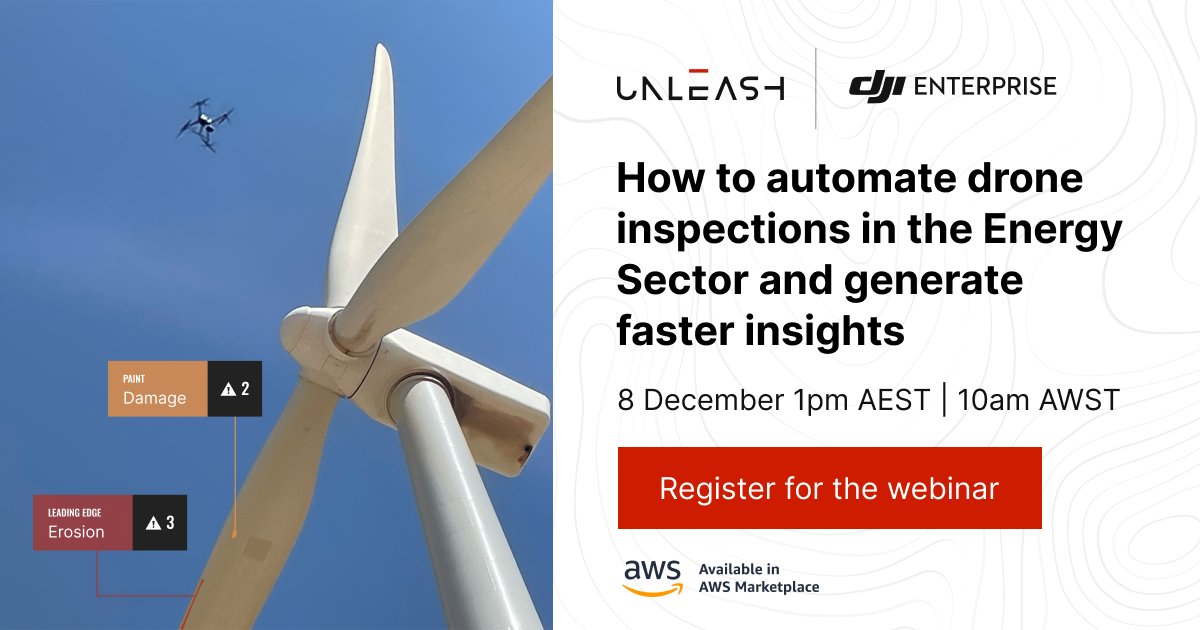
Join our #webinar where @DJIGlobal will share the latest in their drone product line and we'll show how to automate your asset inspections for fast insights and improved asset performance. Register now:
https://t.co/7T3RbXmBre
#Drones#DJI#AI#ComputerVision#AssetMaintenance
✅150 miles of Methane detection in Pennsylvania and West Virginia...
✅ 87 miles of High resolution Mapping of the NCPA sections...
🟩 90+/- miles of High resolution Mapping of the SWPA and West Virginia sections... Here we go!
Busy Fall...
#fastersaferbetter
@AtreyuTrades Sniffing tech is pretty awesome. We use it in methane detection (not quite the same tech, but same concept). Replication of the human/animal nose to its full extent will be a great achievement! Thanks for the video.
This fall we're pushing hard to wrap up a 150 mile methane leak monitoring project here in the north east part of the USA. Helping clients identify real threats and take immediate action to correct problems increases safety and helps meet regulatory goals. Faster, Safer, Better
Meet Jesse, he's heading up our Billings, Montana location and making great headway in the northern Rockies and Plains with special focus on the Bakken region/Yellowstone. His background is in environmental management and is applying drones to that market @WildlifeSpecial $DPLS
When all you can see of the latest imagery is clouds… it’s not very helpful! Updated, geo-specific, high resolution maps are an easy solution for better data to work from. FASTER. Safer. Better… DATA powered by @darkpulse
Spring is a great time for creating base maps and 3D models of ski resorts and golf courses! Our team is out mapping and modeling a home town favorite, Ski Sawmill, this family friendly resort hosts events all year round! Our resort package will draw attention to any business!
@ccinvest21 We’re happy to help track them down. Shoot our CEO, Phil a message at [email protected] if you would like to talk further or connect him with someone there to discuss. Water is our most valuable resource!
Moving water is a big deal in many different industries, surface lines like this one need to be inspected and drones just make sense. Using both visual and thermal cameras, drones can make quick work of checking lines for leaks in difficult areas. Safer, Faster, Better . $DPLS
We're out doing pre-work evaluations in North Central Pennsylvania today. This project plans to use Aerial Drones with Methane Detection on board to survey a variety of pad and pipelines in some pretty hard to access, remote areas. Faster, Safer, Better... Data powered by $DPLS
Around here it's all about the animals🦋🐍🐢🦇🦅🦌 but we also like plants 🌱🌿. Threatened and Endangers Species monitoring, Invasive species management, Wetlands and so much more... Please reach out if we can join you in making this planet a Safer. Better. Greener... World!
Talking with college students about internship potentials this summer. Most came in during the season of Covid shutdowns and have never had any field experience... We love teaching/mentoring the next generation of workers... Presenting both @R_Intelligence and @WildlifeSpecial
Volumetric information is critical to keeping mining operations running smoothly and reporting accurately. Drones give surveyors the tools needed to get fast accurate data for project tracking. Decision makers use flyovers like this to keep track of progress. #data#mining#DPLS