Noon and 4 pm Meteorologist @CBS58. Awarded WI Broadcasters Best Weathercast. AMS sealed. Official @Brewers and @Bucks forecaster. #TelemundoWI wx producer
As we look to summer heat, which hasn't come just yet, recent years have us top out in the mid 90s with a couple years reaching the century mark! While this first week of Summer will feel more like Spring, signs show we will be hot next week.
The NWS confirms an EF-1 tornado from last night's storms just southwest of Madison with peak winds just over 100mph. Tonight we have just a slight chance for a quick passing shower so no active weather worries tonight!
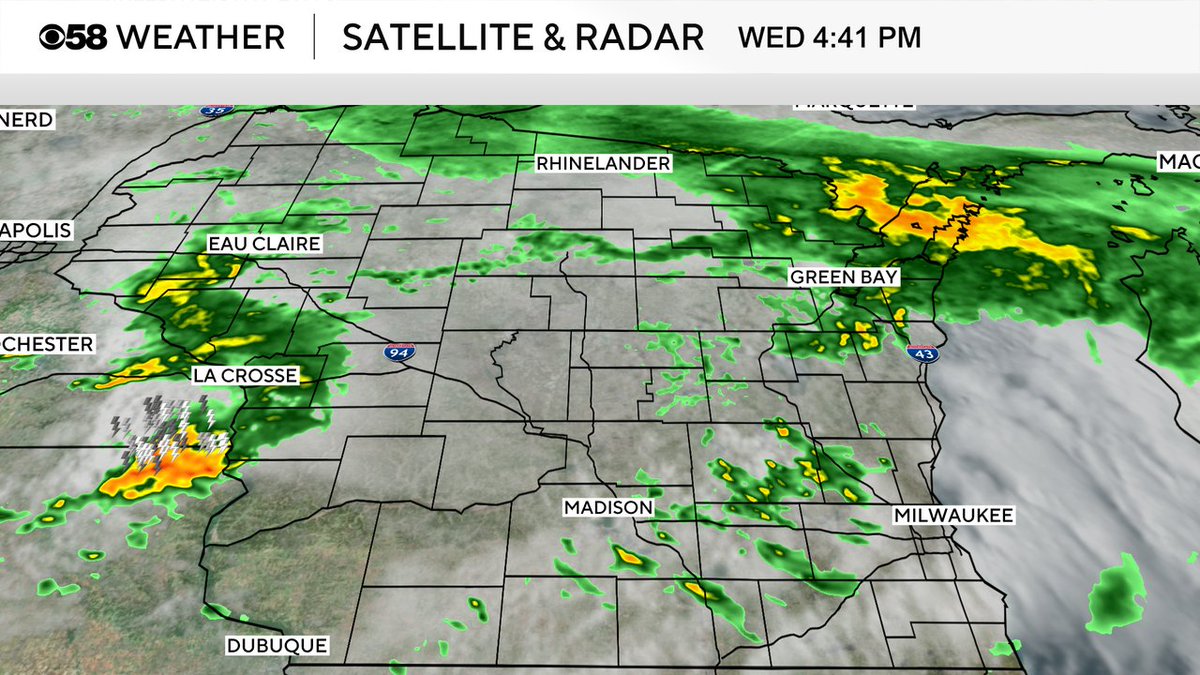
Here's the latest radar as of 4:42pm. Couple showers overhead with no lightning and a cluster of stronger storms to our west. All the activity continues to work eastward.
Still watching a few showers over the area now and stronger storms back by the Severe Thunderstorm Watch to our west, but signs show those likely weaken in intensity as they arrive here.
Still watching these two areas. In the short term this is likely just light and some moderate rain filtering in across southern WI. There's still a chance some of the activity in Minnesota could pinwheel a few storms this way during the course of the evening.
While the severe threat has come down today we are still watching light rain likely to enter our area by 3pm and then still a small chance for isolated evening storms. The roof will be closed for tonight's game. Go Brewers!
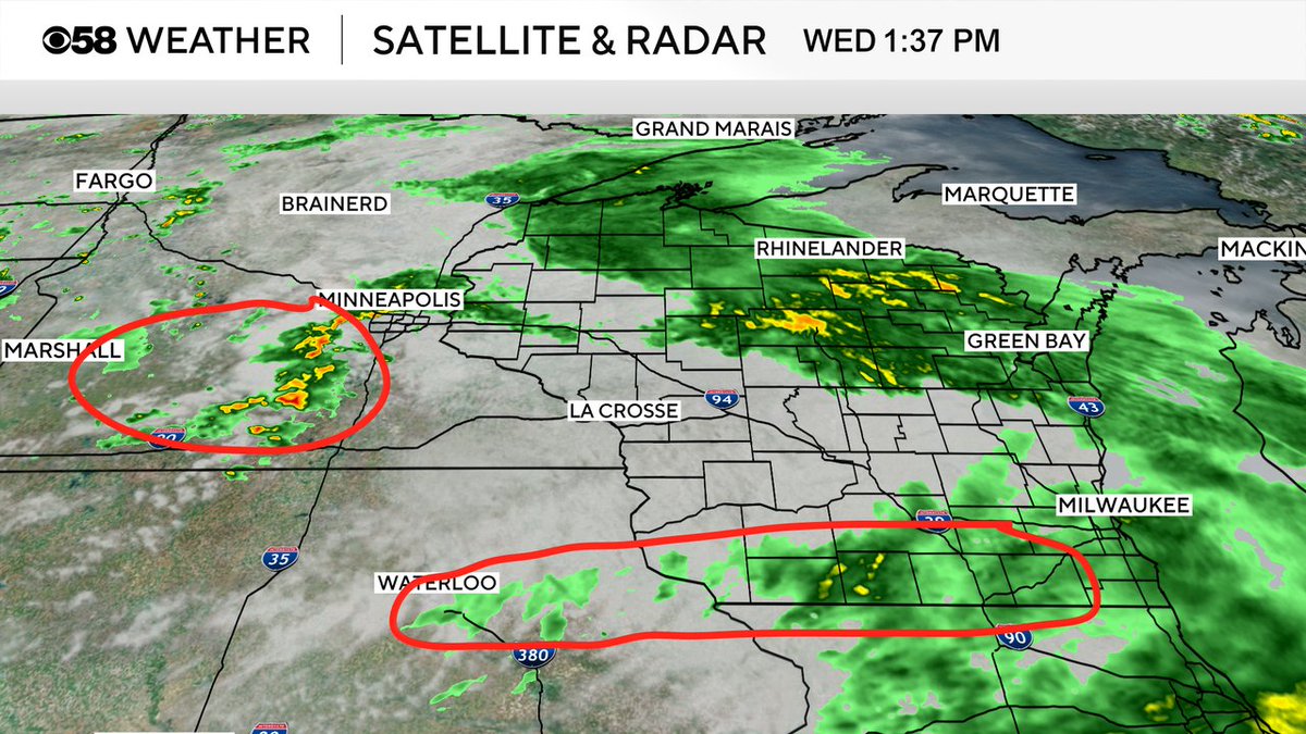
Steady rain is starting to wind down from west to east across the area. Watching the radar throughout the day for additional rain and storms but at this point the threat of severe weather is decreasing with models trending further south into IL for storms later on.
Here's the current radar where most the area is in the clear as of now with the focus continuing to be up in Fond du Lac and Sheboygan counties. The warning there remains in place until 2:45pm
There is still a chance for storms through mid evening and with that in mind it is unclear at this point if the roof will be open. I will provide an update as soon as I get word!
I'm tracking a handful of strong cells this afternoon with the threat of hail. Sheboygan co under a Severe Thunderstorm Warning until 2:15pm. As of 1:48pm a decent cell is over Cedar Grove headed toward Sheboygan especially hitting the south side of the city in the next 15 mins.
Clusters of storms continue to impact parts of the area. Penny size hail and wind gusts to 40mph are definitely possible. Those levels are under severe criteria but still be ready to head indoors as they pass through. Cells are slowly moving east/northeast about 20 mph.
Severe Thunderstorm Warning just WEST of the viewing area, mainly for hail potential up to a quarter size. The storm is moving slowly to the east/northeast around 25 mph. Fond du Lac County and far northern Dodge county are in the path, be ready to take it indoors next 30-45 mins
A lovely Saturday continues... it is warm with good sun, albeit breezy, with wind gusts around 35mph this hour and only very remote chances for an afternoon shower or storm... still some chances heading through the overnight.