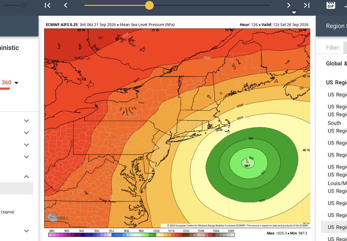
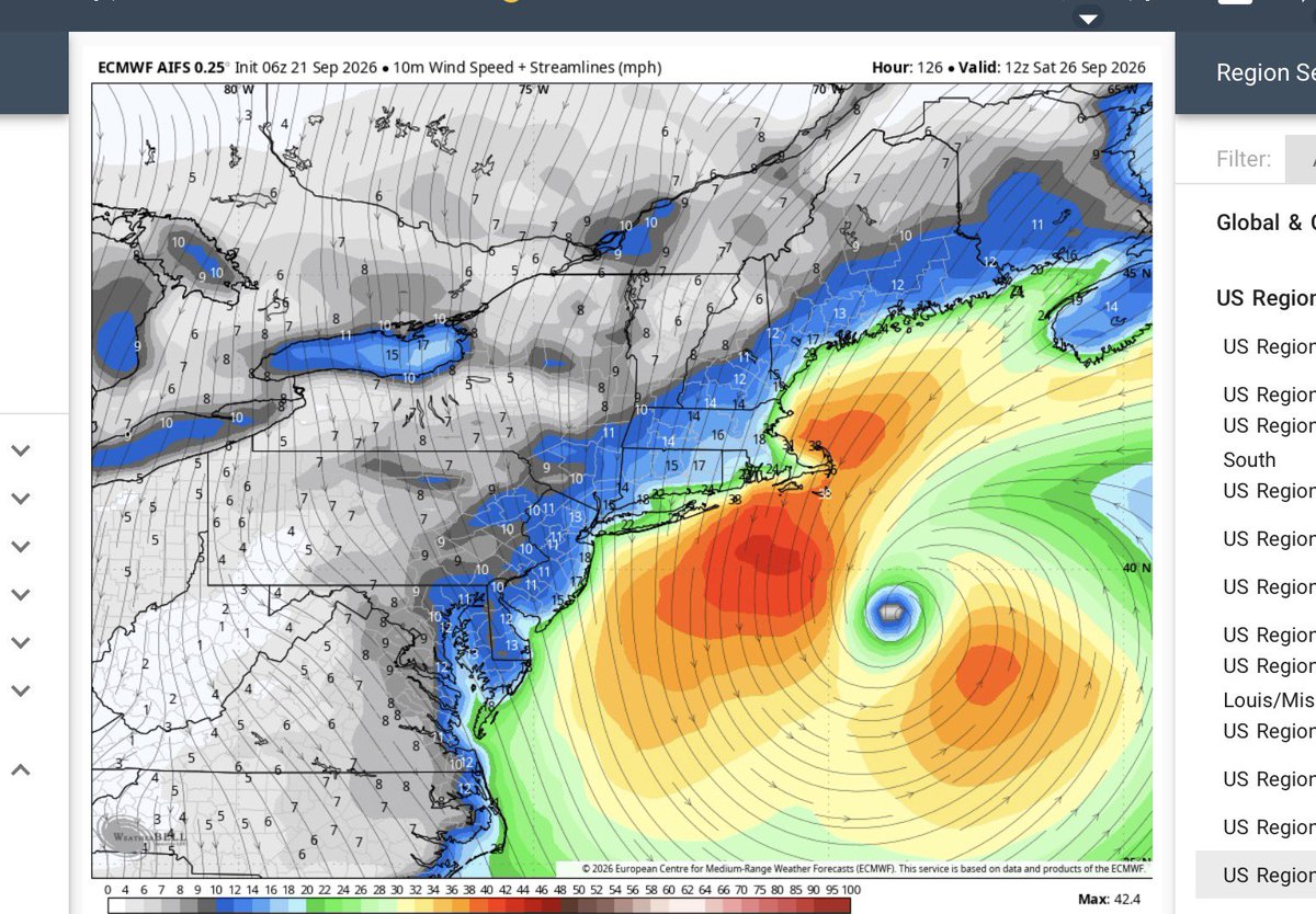
If the EURO is right we have quite a storm headed for the northeast late week. With heavy rains and fully leafed trees power outages and road closures will be a problem. Not to mention the damage to leaf peep season.
Significant flooding from 20 inches plus rain over southwest Texas this morning. Highest gust from Edouard was 90 mph in Port Arthur, Tx. Quite impressive. In close rapid development will be a threat the rest of this season.
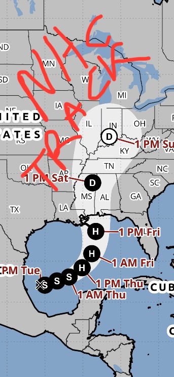
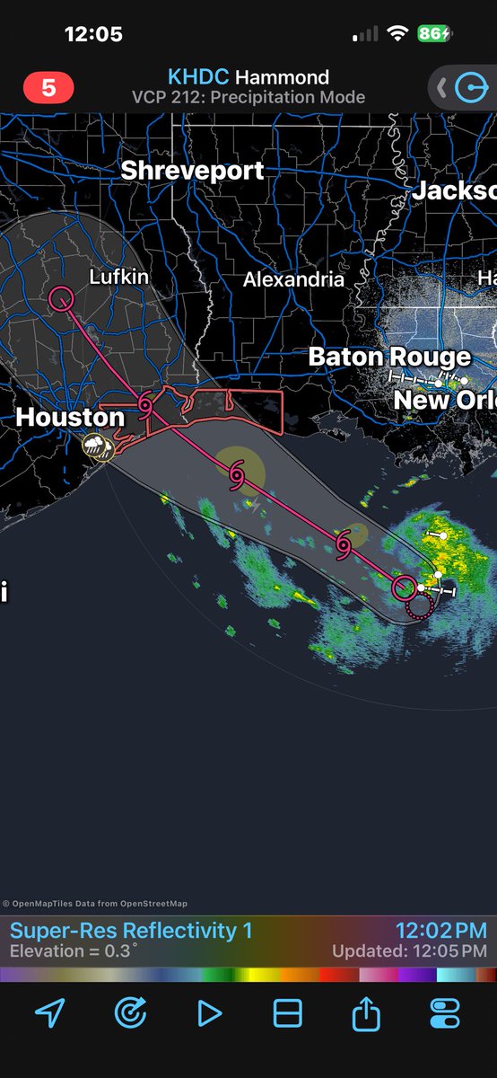
Tropical Storm Edouard likely to form later today as we enter the height of a very slow 2026 season. Radar shows the current position and projected path the next two days.
From 1888 book on US climate. Signal Corp required 15 min sustained winds for a legitimate speed. Our standards are very low in comparison. Weather records back in the day had to PRECISE.
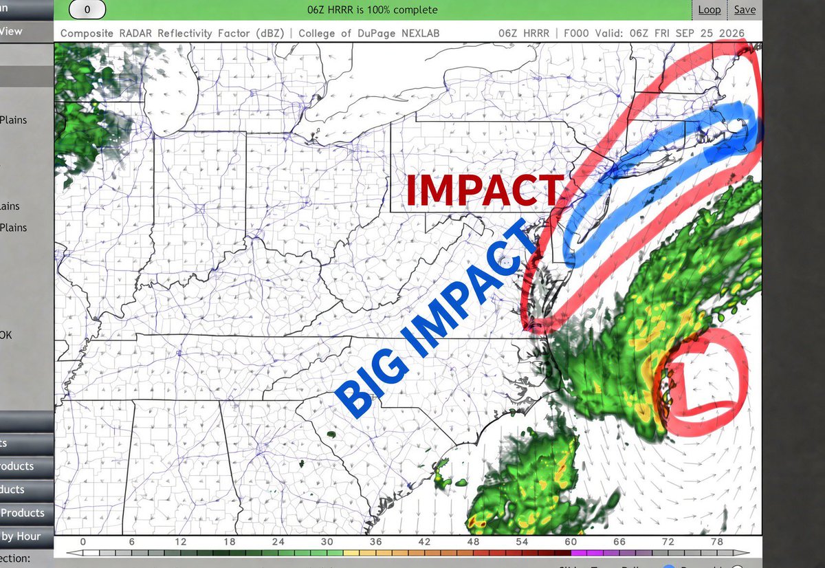
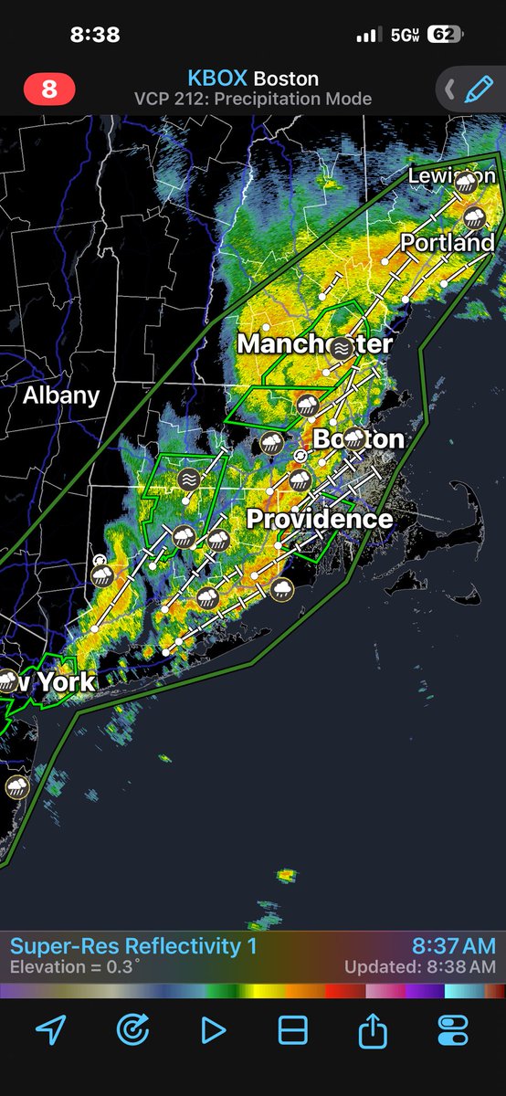
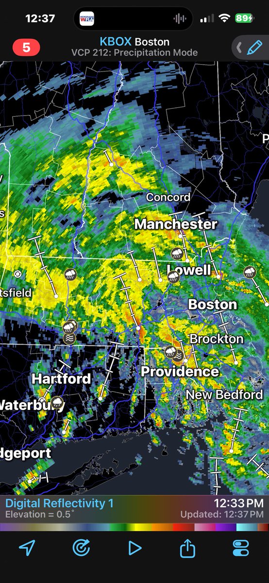
The low pressure over the northeast has been responsible for tornadoes and massive flooding the last two days. It’s acting like a hybrid tropical depression or even autumn northeaster. Either way, flooding could become serious over New England tonight as feeder bands set up.