geographer; cartographer: scientist; ecologist; visualizes the world thru maps; @NACIS director-at-large; reader; writer; hiker; she/her; opinions her own
A HUGE announcement for all NACIS members: today, we’re launching our new Mentor Program! We’re pairing experienced cartographers with those just starting out for one-on-one mentorship. Read more about it, and apply to be a mentor or mentee, at this link: https://t.co/kqpLlCsxWO
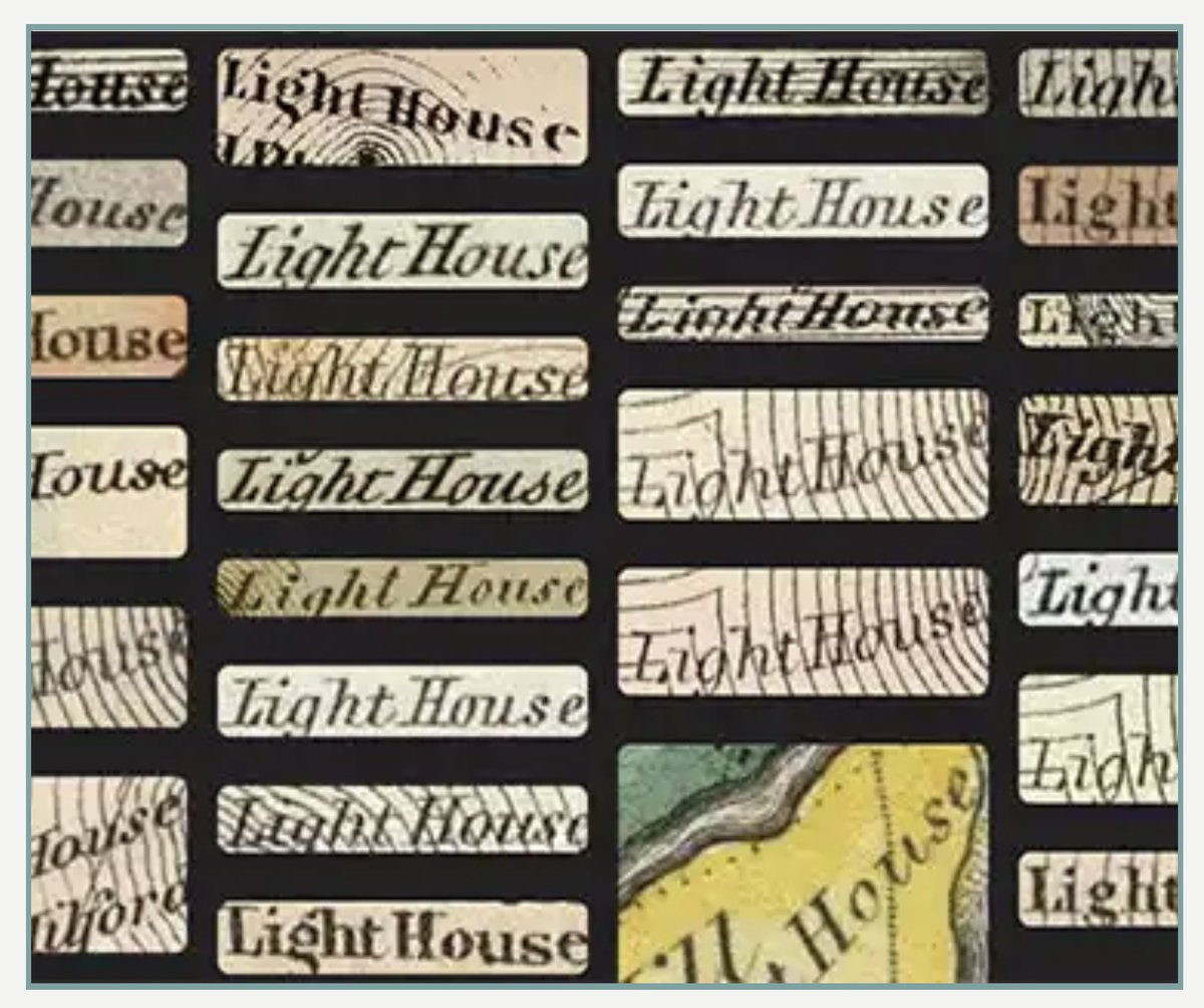
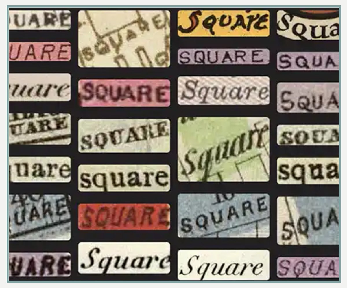
Our new Machines Reading Maps tool that allows searching Text on Maps is now live at https://t.co/I78lXjjztf 100 million words indexed on 57,000 maps. Users can correct any errors. See our Text On Maps Help Guide for detailed descriptions on using this exciting new feature.
There are many ways to get across the point of distortion in the Mercator map. Here's a planisphere indicating a distance across Africa and another distance across Russia and things don't add up
[source, read more: https://t.co/2tt8moaa27]
Bookmarking this for when I finally grow tired of the battling water stains on our morning coffee/smoothie cart (aka extra countertop space for our tiny kitchen)
So while everyone was off having fun and learning about this new GIS - SO and myself have been working on a top for this cabinet. Basically we needed a bar top. I had a few extra maps…
The constant reminder of what large scale map vs small scale map actually means to me. Long live post-its on computer monitors! Now to figure out how to make the sticky last since it fell off...
Always up for learning new map tips/tricks. This year's #MOOC did not disappoint. I give you one of the fun maps that pushed me further away from default settings. Props to @epunt@kennethfield@John_M_Nelson@NathanCShephard@wesleytjones for the carto lessons/entertainment/fun
Attention all map makers!! Submissions are open for our 2023 conference!! The deadline to submit is May 15, 2023. Visit https://t.co/rbBNajNB4e to submit your abstract, apply for a travel grant, and book your hotel room. #nacis2023
@grischard His teaching assistants were wondering why he couldn't wait to show me his work and I said 'I may talk about maps a lot with my kiddos, hazard of the profession' #proudparentmoment
Bonus to the preschool 4 introducing cartography this week. 💕 This draft could use some projection consideration, along with labels, tho my largest concern is my kiddo thinks Antarctica and the Arctic are one continent when the map is a globe 🤪 We will discuss this further...
Most people think the definition of insanity is doing the same thing over and over and expecting different results, but to them I say, that's just GIS. Sometimes on the third try, your geoprocessing tool just inexplicably works.
Pro tip: use clickbait commit messages to get your teammates to review your code faster
git commit -m “First she noticed a bug in production. What happens next will SHOCK you!”
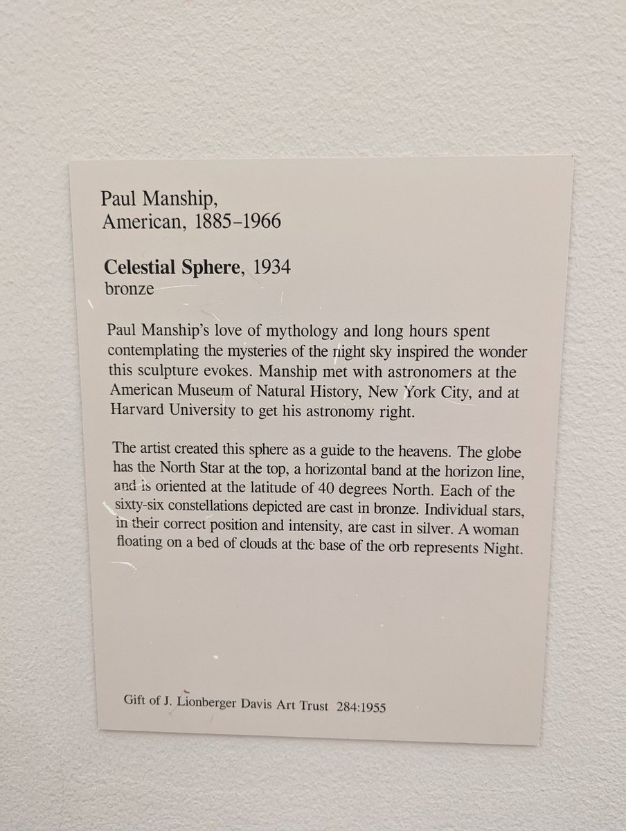
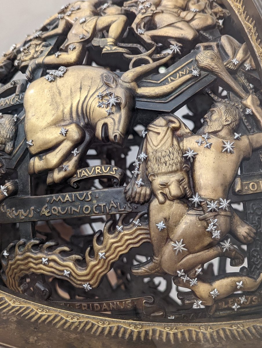
When you let me walk through an art museum OF COURSE I'm going to find something related to maps. Fascinating piece by Paul Manship from 1934. #stlartmuseum#gischat
Also can I just SAY (again) prioritizing people who code as “the most important part of the team” and saying designers, user researchers, documentation writers, and other staff are LESS THAN = your product will never be that good because you’re missing PERSPECTIVE.






![Rainmaker1973's tweet photo. There are many ways to get across the point of distortion in the Mercator map. Here's a planisphere indicating a distance across Africa and another distance across Russia and things don't add up
[source, read more: https://t.co/2tt8moaa27] https://t.co/Eqvzz5o6ym](https://pbs.twimg.com/media/F1ewpFvWYAAch-R.jpg)