Ohio River Swamps Cincinnati Streets 🌊: Drone footage shows historic flooding inundating downtown areas, including roads near the Great American Ball Park.
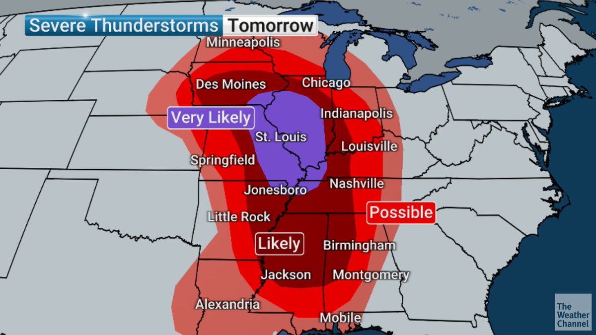
UPDATE: The Storm Prediction Center has increased the severe weather risk in parts of the Mississippi and Ohio valleys on Wednesday. Tag a friend who lives in these areas and stay tuned to The Weather Channel.
Here's the latest on Wednesday's thunderstorms! Shown here is the "first round" of showers and storms, occurring Wednesday AM and packing over an inch of rainfall for southeastern Wisconsin. An isolated severe storm (with hail) is possible within the dashed area shown.
Warming temperatures with dry and breezy conditions today will lead to elevated fire weather concerns. Recent snow and lake influence lowers concerns in southeast WI and along the lake. Special Weather Statement in effect for much of southern WI. #wiwx
This is only the 3rd time since at least 2006 (when we can easily query our records), and likely only the 3rd time in SPC history based on available data, that a High Risk has been issued on Day 2.
The 2 previous times were:
4/14/2012
4/7/2006
From around 8 p.m. tonight through around 2 a.m. tonight, expect a line of storms to roll through southern Wisconsin. The best chance for strong/severe storms will be southwest of I-90, with 60+ mph winds being the primary hazard. Decreasing severe threat as storms push east.
Continue to look at an active start to the weekend with very warm temps, breezy gusts, and evening thunderstorm potential Friday. Stronger winds then expected for Saturday. #wiwx
(1/2) T-storms are expected Fri evening along a front. Severe weather is possible. Peak window of severe potential is between 8 PM and 12 AM. Damaging winds in excess of 60 MPH are the main hazard, though a brief tornado can't be ruled out. Have multiple ways to receive warnings.
The warming trend will continue through Monday with breezy southwest winds each afternoon. A weak cold front will move through Tuesday morning, but temps will remain above normal the rest of the week. #swiwx#wiwx
A prolonged period of rain is expected today into Wednesday morning. Scattered / isolated showers this morning will rapidly increase in coverage this afternoon, continuing onwards. A transition to snow is then expected Wednesday morning. #wiwx
Here is an update on the Extremely Critical fire weather conditions expected tomorrow, 3/4/2025, across portions of Texas. More info: https://t.co/QMmU4tCxt1