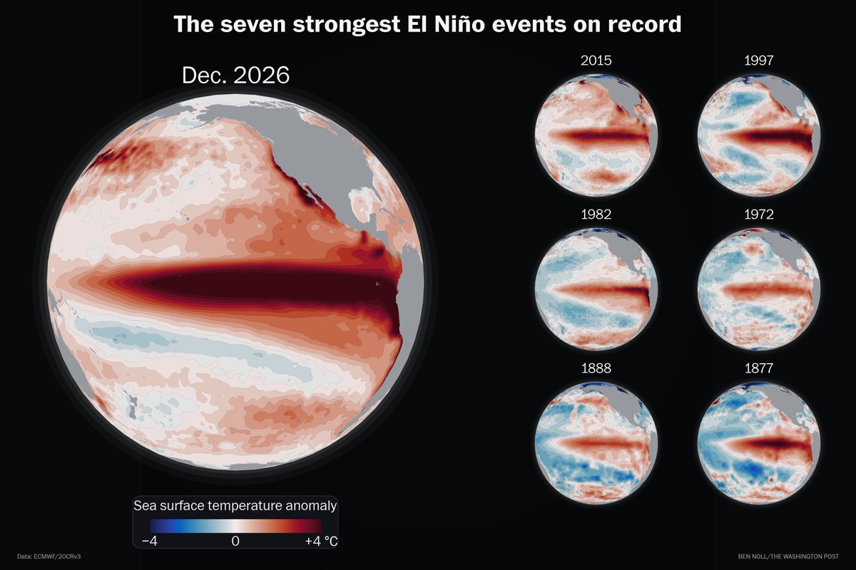
This year's El Niño will dwarf the six other super El Niño events on record.
A projected +4.1°C rise in central Pacific Ocean temperatures by Dec. 2026 would leap past previous peaks of +2.8°C to +3.0°C in 1877, 1997 and 2015.
No one alive has witnessed an El Niño this strong.
Good morning. It’s a warm and very muggy morning with temps and dew points ranging from the upper 60s to mid 70s.
The theme of the week ahead is warm and humid…with several chances for showers and thunderstorms.
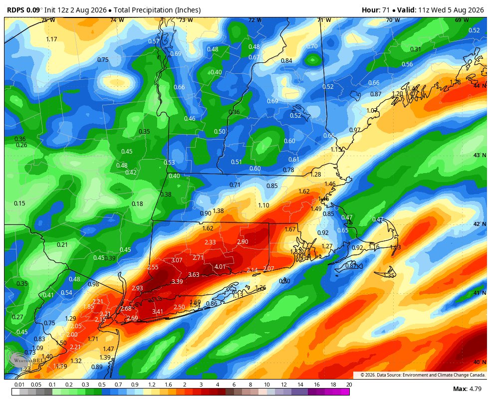
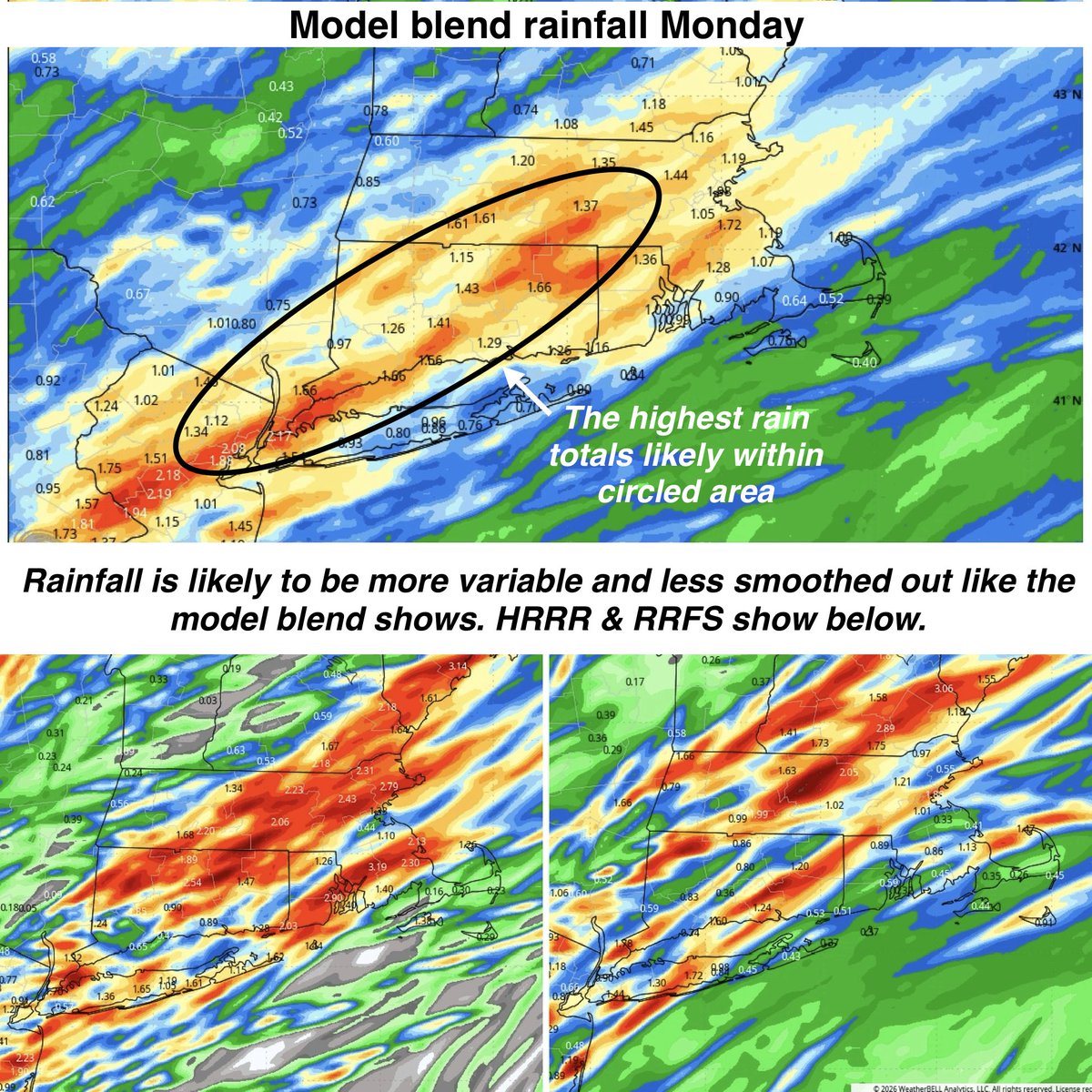
The wettest and most unsettled day with widespread rain and embedded thunderstorms is tomorrow (Monday). The highest rain totals of 1-2”+ may cut through central CT. Localized flash flooding is possible where the heaviest downpours hit. Once again expect widely variable rainfall amounts from town to town. A few isolated storms can be strong to severe as well - the main threat in addition to torrential rain is gusty winds.
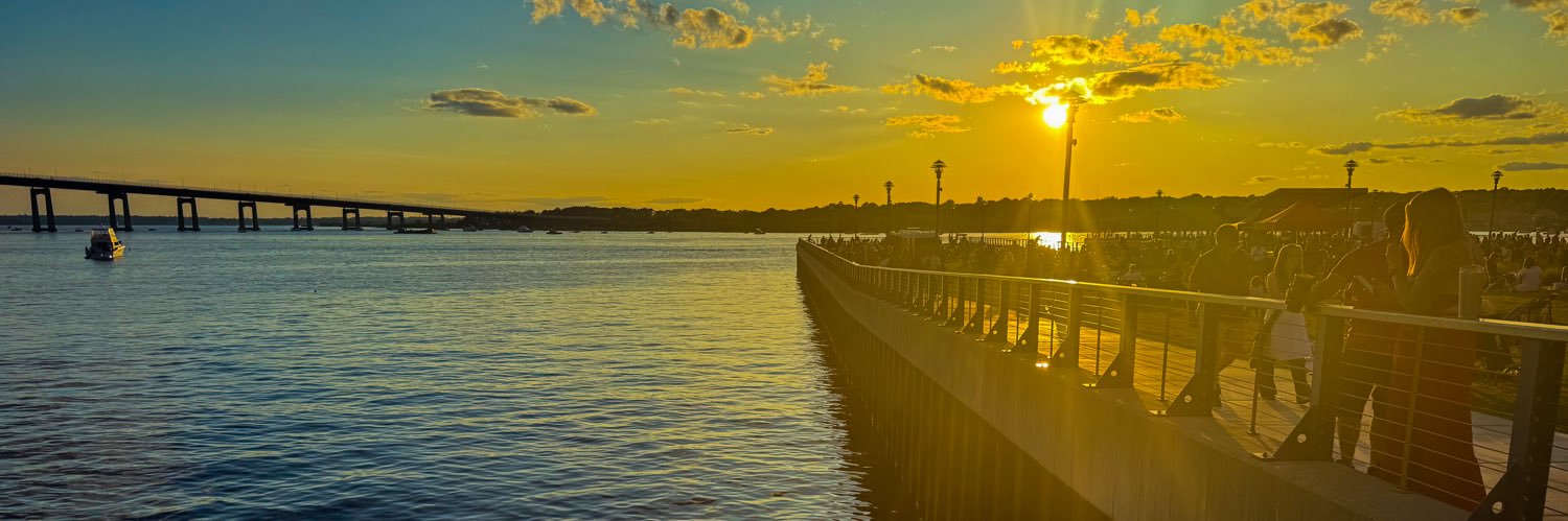
The good news is that it does look like the activity shifts SE tomorrow night and eventually offshore. I actually think some areas to the north and west will see breaks of sun later tomorrow and there’s a chance for a dramatic sunset.
Tuesday is the pick of the week - the least humid day (although not quite crisp) and the driest day. Just note, coastal areas SE may see a bit more clouds and humidity.
We add heat and humidity later in the week and bring in the chance for pop up showers and thunderstorms each day - especially Friday through next weekend. These days are not washouts - there will be sun before clouds build but some towns can get quite wet. These will be hit or miss - will have a better idea as we get closer.
Boaters: No issues today and less fog than yesterday. A small craft advisory is already issued starting tomorrow morning through early afternoon on Tuesday for all near shore coastal waters to the southeast. Monday is looking rough…seas build to 5-8’ in Block Island Sound and points east. Tuesday roughest early but seas should settle nicely through the day. Wednesday looks good 2-3s….by evening 2-4s.
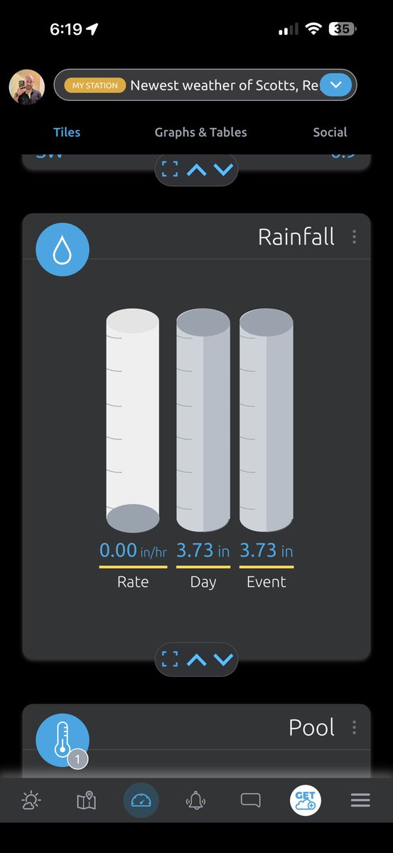
Certainly expecting there to be winners and losers with tomorrow’s rain, but overall trend is toward a wetter system with 1-3” of rain in places.
With such a tropical environment, could see localized flash flooding in places