Storyteller (with camera). 18 years in the media. 15 years in the mountains. l like flying places to climb things. I don't drink. I eat rice, chicken and turkey
8/Overall, the experience was very unique. Colombia is most definitely a destination with a wealth of history enshrined in varying climates. I wish I’d bagged Tolima when I was there, I’ll be back one day to get that one. Colombia will give you plenty of adventure if you want it!
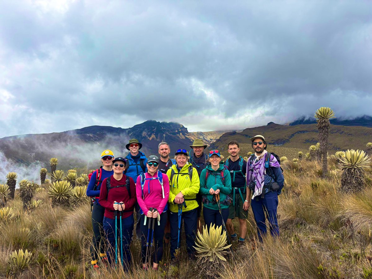
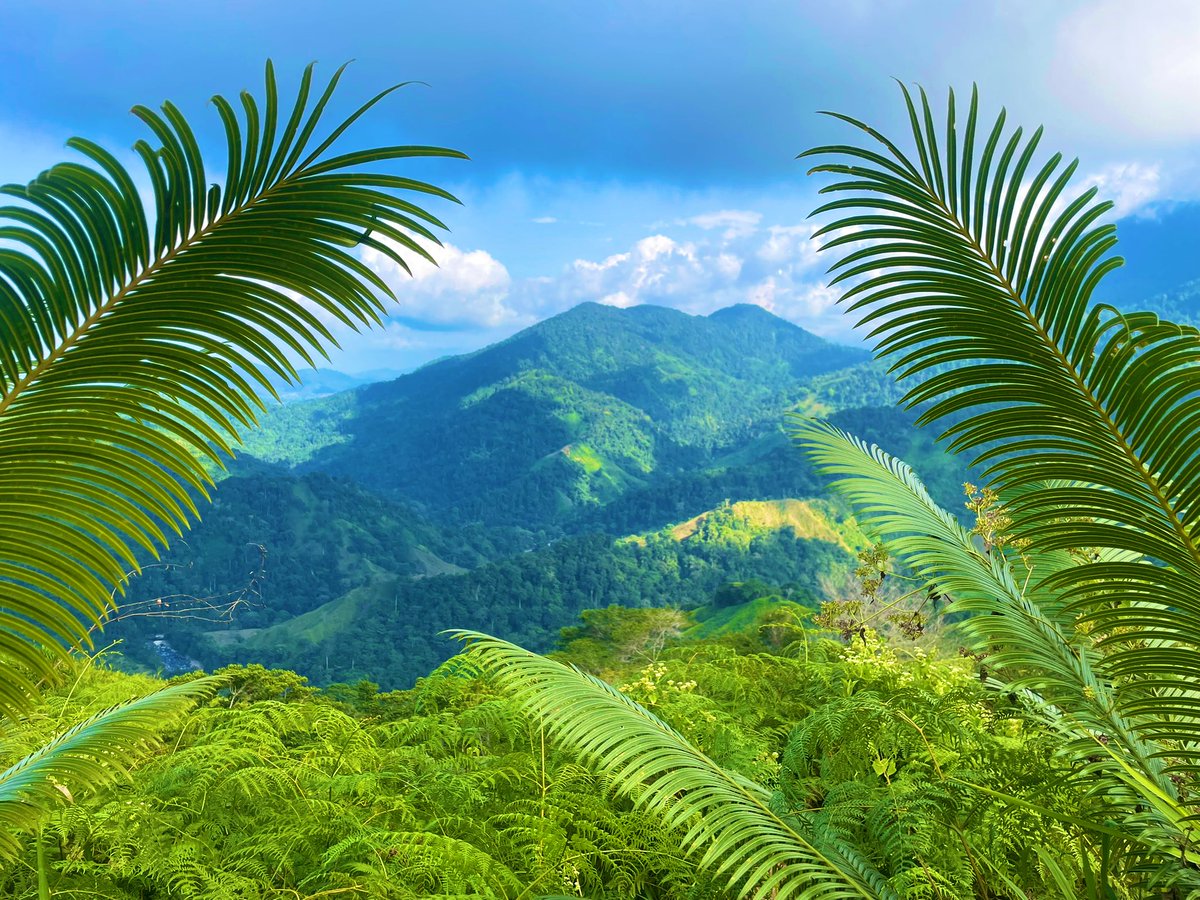
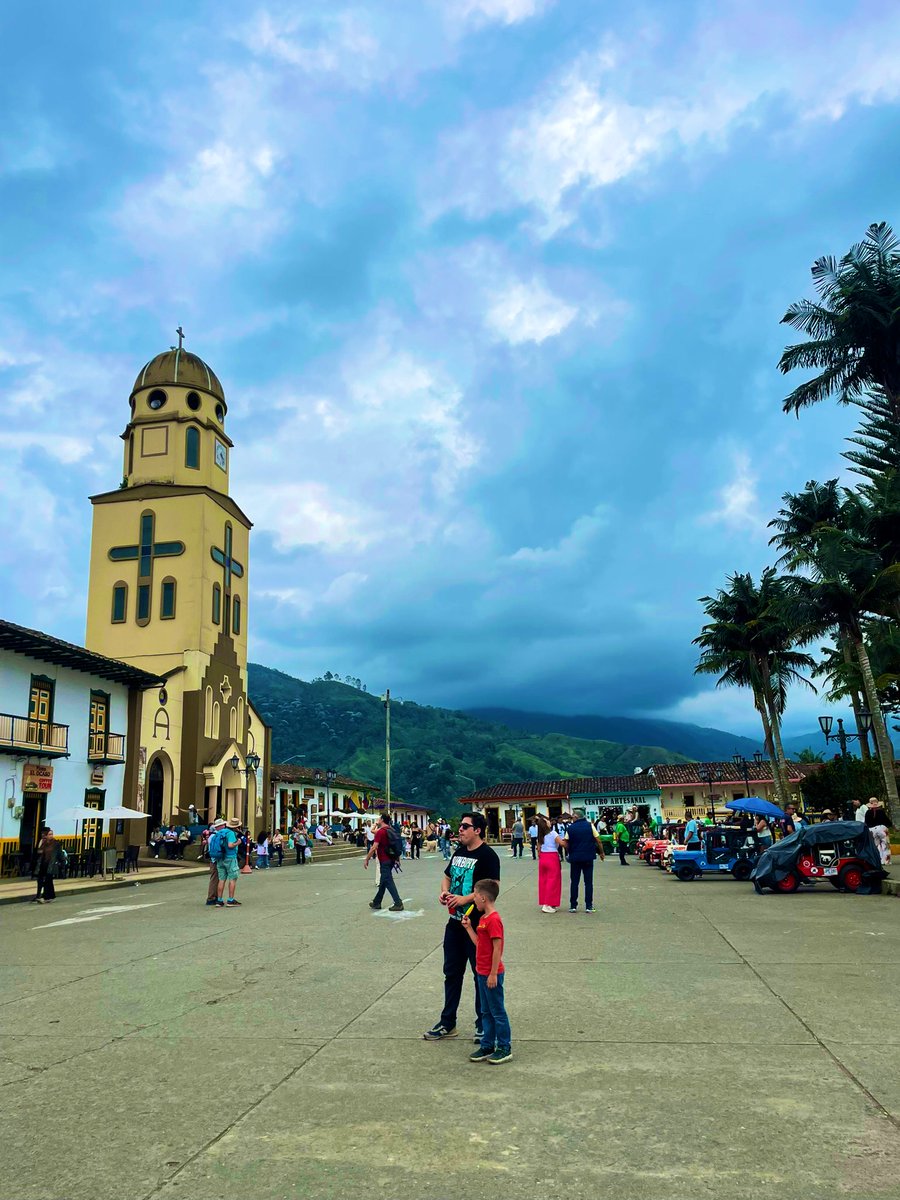
1/In mid-January I decided to cross #Colombia off the list with 10 days of trekking/exploring. I’d been eyeing Tolima for a long time but the dates never worked. I settled for some enjoyable hiking instead. Flying into the great city of Medellin to start then south to Salento.
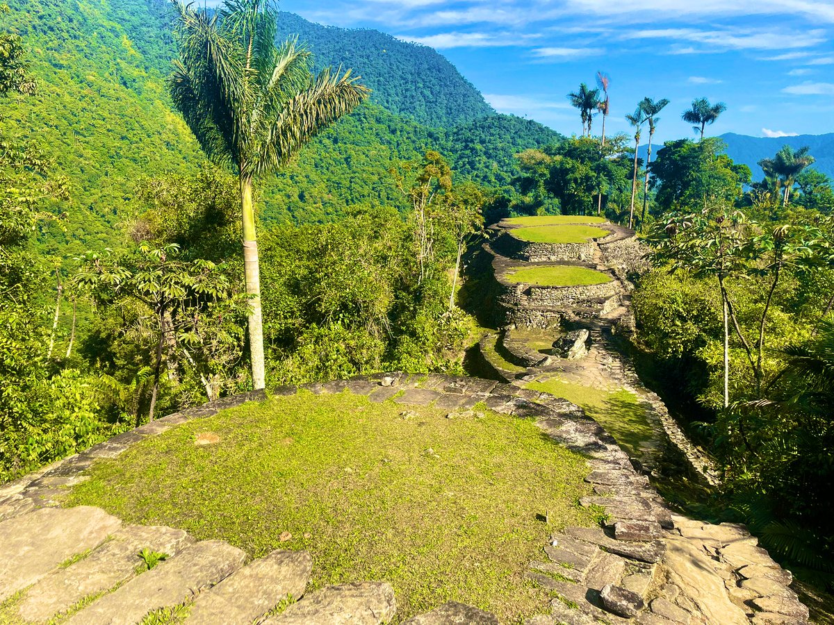
7/After 35km we arrived at the final 1200 steps to the Lost City, known as “Ciudad Perdida.” Built 650 years before Machu Picchu, it is not known why the Indigenous population suddenly abandoned the settlement. While most structures are gone, the perimeter of the area is intact.
@CANADA566 Question: the ISW has suggested Russia has lost its pre-2022 ability of mechanized maneuver at scale. That said, how much of a threat are Russian conventional forces to Europe with this reduced ability? How long until Russia rebuilds this capacity?
5/Views from this point are looks at the foothills and plains to the E and Mt Glasgow overlooking Garriochmill’s summit. The descent down Glasgow N was a much more evident and smoother trail then Garriochmill’s bushwhack. Great front range peaks in K-country! @CTVdavidspence
1/With traffic volume on the TC Highway higher than I’ve ever seen, I decided to go for some front range peaks recently. This led me to Elbow Campground down HWY 66, and on a whim decided to go up Garriochmill Peak to Glasgow North. The route is a loop and starts at Elbow River.
4/After finally arriving at Garriochmill’s summit, you must make your way back 20 mins or so down its ridge then traverse N towards Glasgow N. This traverse is mostly straightforward with a small moderate notch as the crux. Glasgow N has a spacious summit.
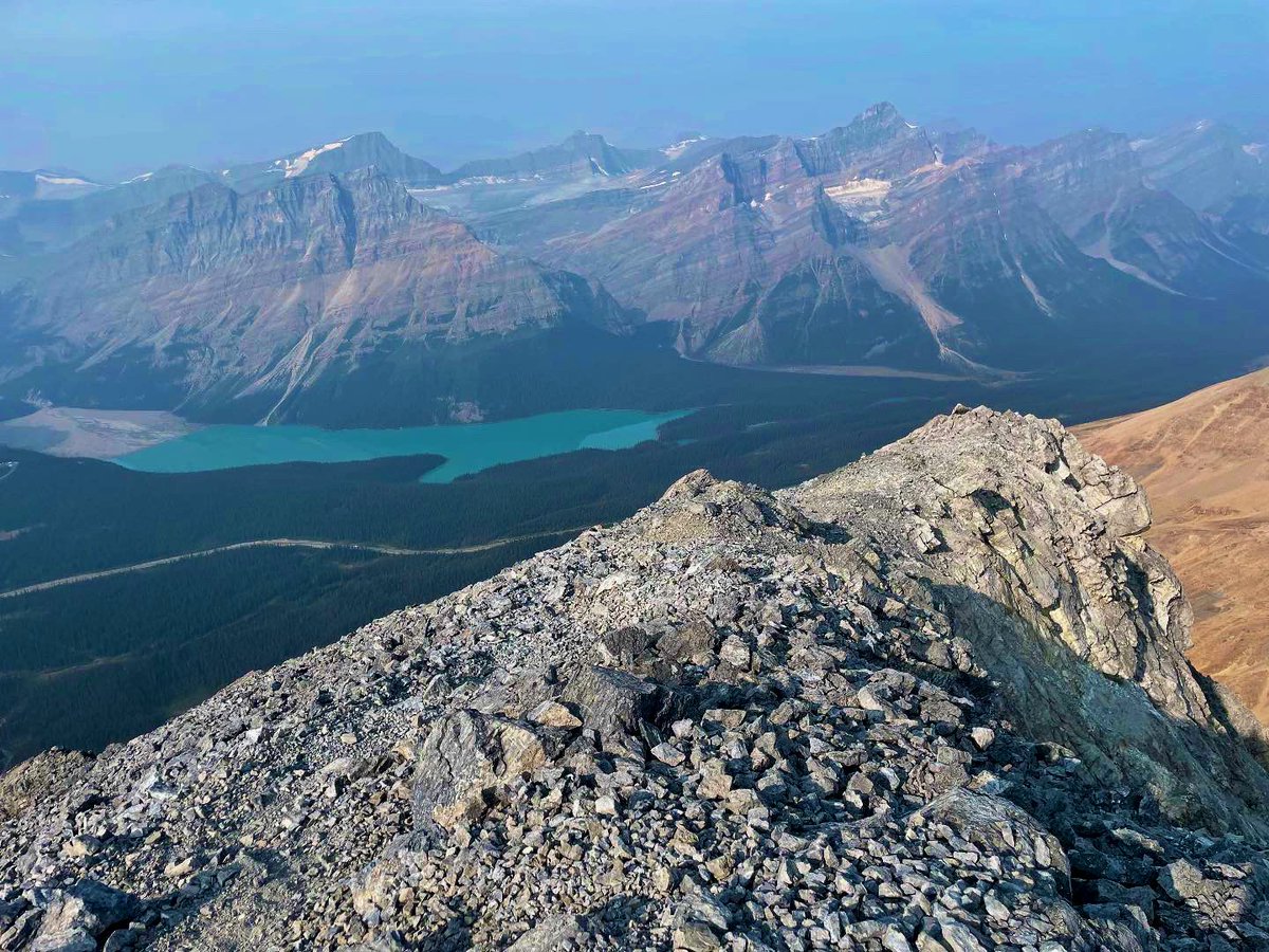
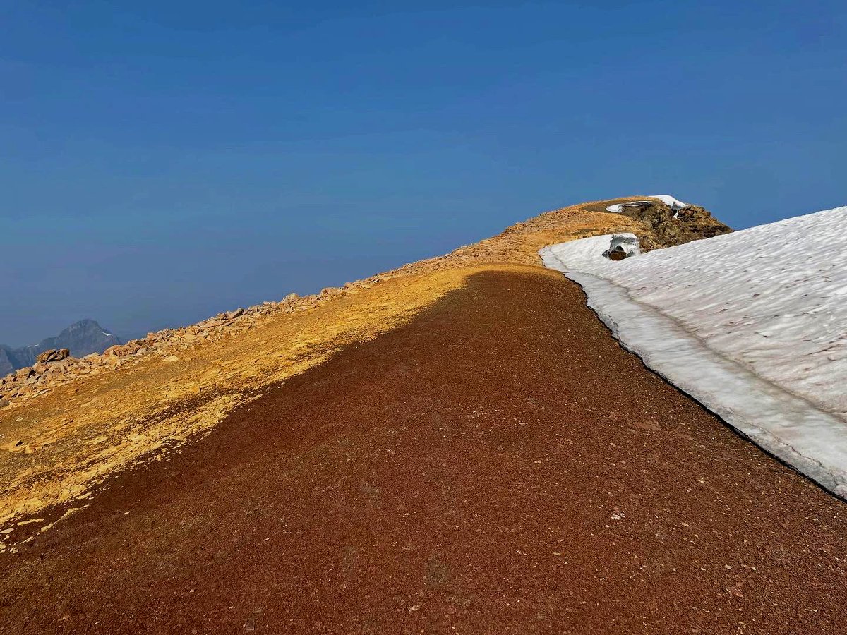
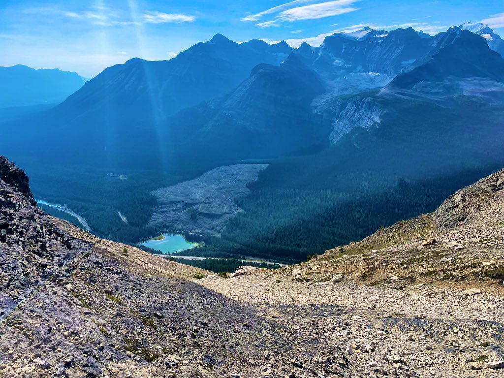
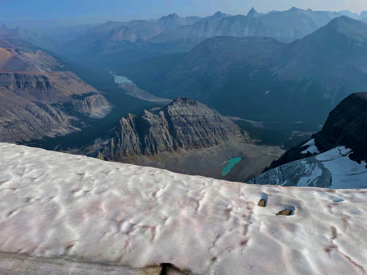
4/Reaching the false summit, great views of Peyto Lake emerge. There remains a 15 min trudge West to the true summit, passing by cornices, glaciers and uniquely coloured purplish scree. 1100m elevation and 6.5km in, the true summit gives expansive views. @CTVdavidspence
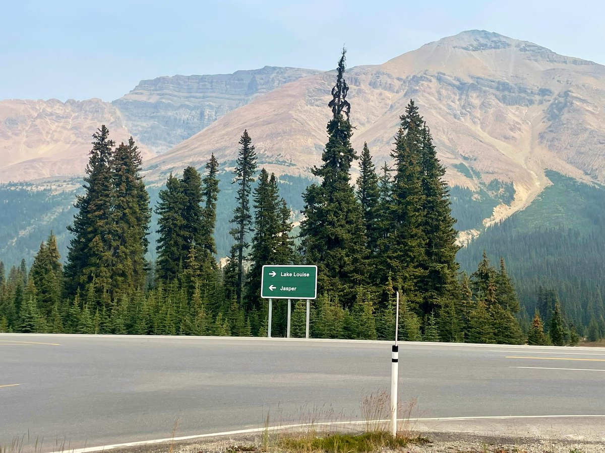
1/Named by a Boston clergyman in 1898 for its stellar views (I’m sure there’s a movie script to made), Observation Peak is a fun and rewarding mountain on the Icefields Parkway. The trailhead lies across the road from the Peyto Lake parking lot, so be ready for an opening sprint.
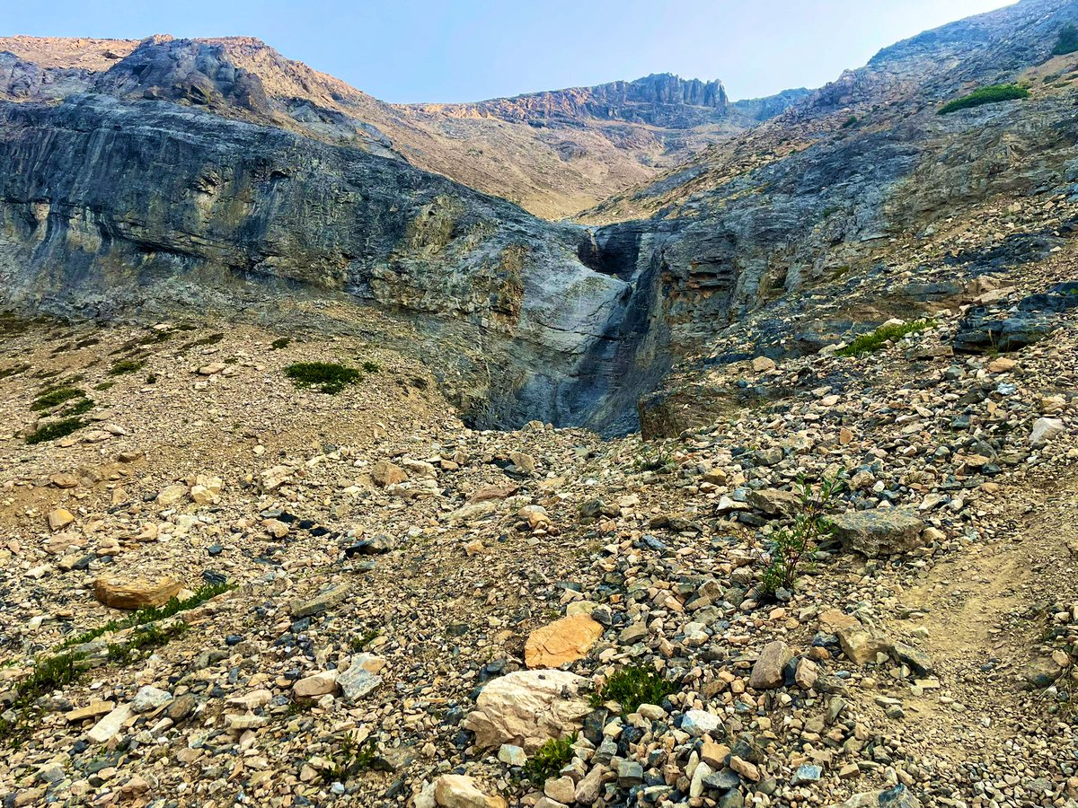
3/The ridge has several scrambling options, but you can usually bypass these on the left or right if it’s too much. A traverse to the right (East) into a loose gully is probably the crux. It’s then a long steep grind up a scree slope to the false summit.
@Brink_Thinker Yup. Only time they ever came to look for me, from my memory, is when I was GTing at a known neighbourhood hill we called “the swamp” had totally lost track of time and was late for a hockey game. Otherwise, get out, get lost and find some fun.
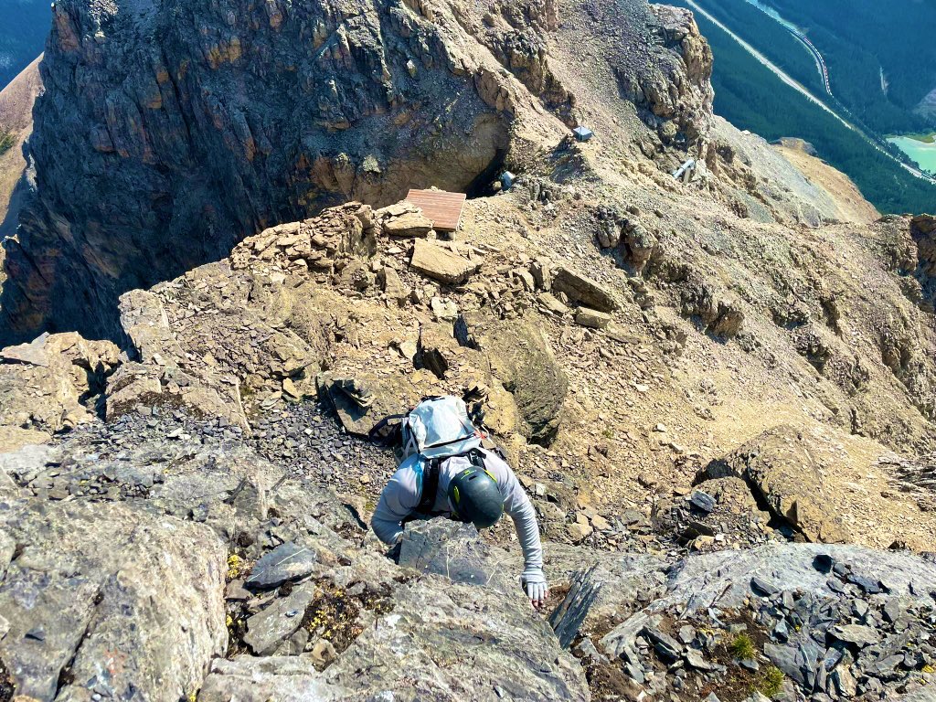
4/Cairns help to switchback through the summit block, but 2 or 3 sections are close to vertical. Note you downclimb this on the descent, make sure you’re game! The summit gives views of Mt Daily, Divide Mtn, among many, and the TCH while straddling AB and BC. @CTVdavidspence
1/Viewed by many to be a classic Kane difficult scramble, Mount Bosworth has some interesting features which set it apart from many other mountains - including starting the ascent in AB and crossing into BC near the summit. The trailhead lies near Lake O’Hara access road in BNP.
3/There are two points requiring moderate/difficult scrambling through headwalls which lead to generally traversing left (West) and up more loose gullies. Near the top, there are avalanche control devices and 3 or 4 helicopter pads which signal you are getting close to the summit