I’ll be there.
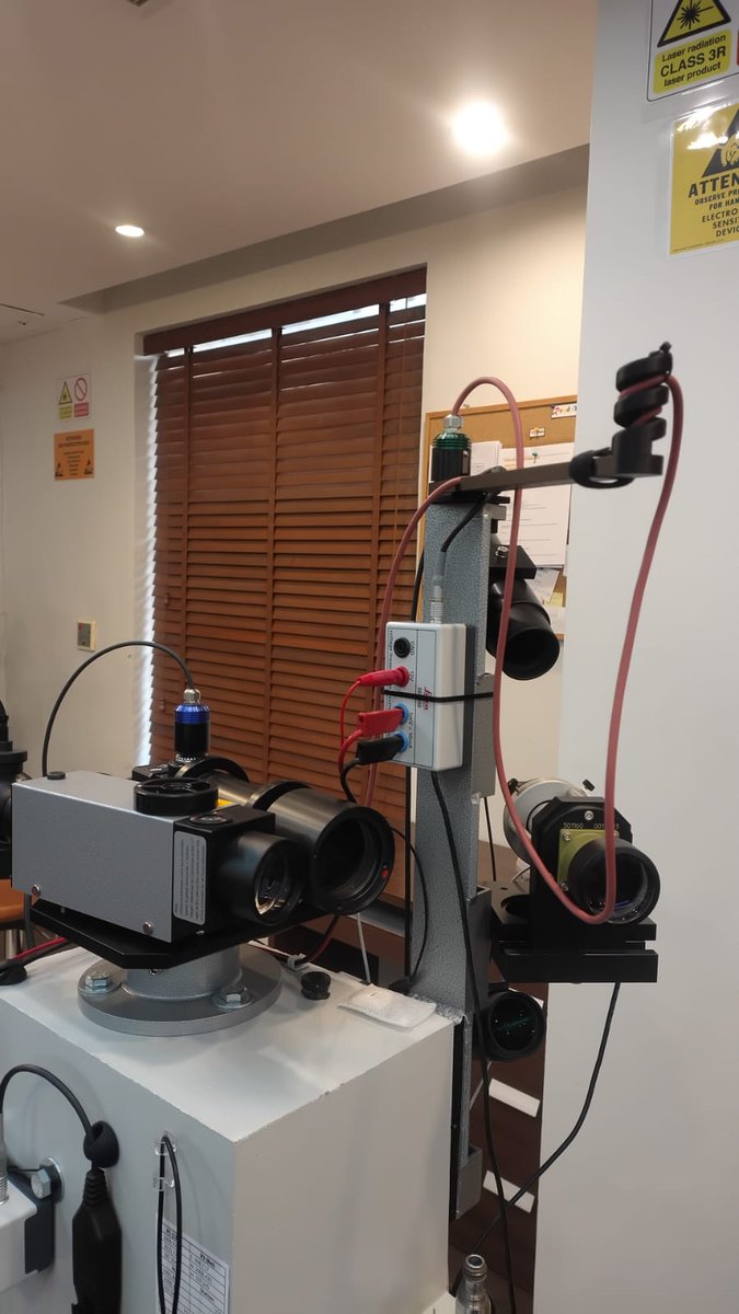
SITML is proud to join the Hexagon Portable EMEA Partner Meeting 2026 in Istanbul, connecting with the Hexagon partner community and supporting the future of portable metrology in Saudi Arabia.
#HexagonPortablePartnerEventEMEA#SITML
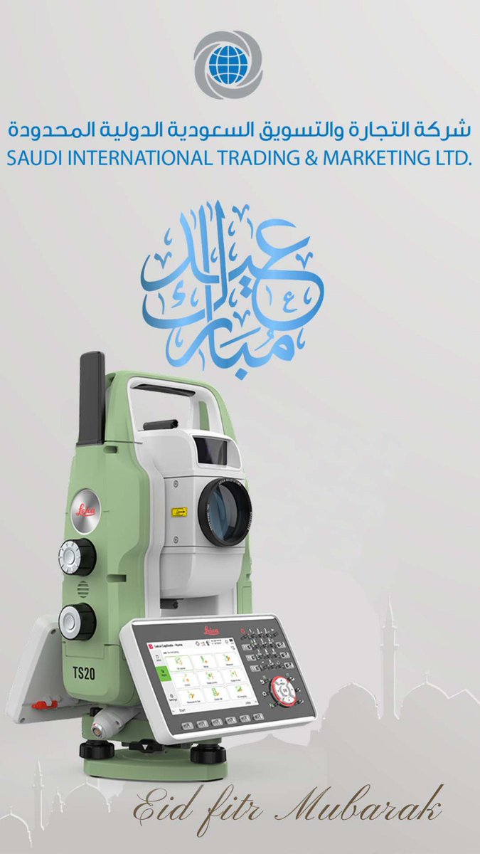
Eid Al-Adha Mubarak from SITML.
Wishing our clients, partners, and the surveying community across Saudi Arabia peace, prosperity, and continued success.
#EidAlAdha#SITML#SaudiArabia#Surveying
World-class instruments deserve certified support.
SITML continues as a Leica Geosystems authorised service centre in KSA, delivering approved maintenance, repair, and calibration across Jeddah, Riyadh, and Dammam.
https://t.co/TTRG8oco4T
#LeicaGeosystems#SITML
When a site becomes data, decisions get faster.
Leica BLK360 Imaging Laser Scanner turns spaces into measurable 3D environments.
https://t.co/NFOUzxkLbk
#RealityCapture#SaudiArabia#3DScanning#Leica
One small error can ruin a full survey day.
Leica TS20 Robotic Total Station prevents mistakes with AI validation, tracks targets in any condition, and protects your instrument with GeoCloud security.
https://t.co/JpaO85Mg5e
#Surveying#SaudiArabia#Leica#TotalStation
Detection isn’t the problem. Interpretation is.
Leica DS4000 Utility Detection Radar delivers real-time, clear utility mapping, reducing risk before excavation in Saudi projects.
https://t.co/B1dYh7q9xq
#GPR#SaudiArabia#Construction#Leica
Measure where the part is.
Hexagon Absolute Arm 7-Axis scans, probes, and validates components in real time, reducing rework across Saudi industries.
https://t.co/azEhDt5PH9
#Metrology#3DScanning#SaudiArabia#Hexagon
Scan → Register → Deliver
Leica RTC360 Laser Scanner captures and aligns 3D data on-site, reducing rework and site revisits for Saudi projects.
https://t.co/WCJhKD8FyY
#RealityCapture#3DScanning#SaudiArabia#Leica
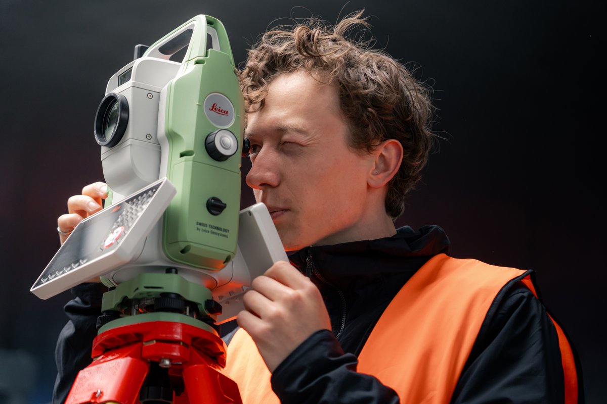
Reduce setup errors. Increase precision.
Leica TS20 Robotic Total Station uses ATRplus + AutoHeight for faster, reliable surveying across Saudi Arabia.
Explore: https://t.co/OOtiiyFJgJ
#TotalStation#Surveying#SaudiArabia
GNSS lost inside tunnels? Mapping continues.
Leica Pegasus TRK Neo uses LiDAR + IMU to maintain trajectory and capture data without interruption.
Explore: https://t.co/V5WE2ArL7d
#MobileMapping#LiDAR#SaudiArabia
Scan complex sites across Saudi Arabia without GNSS dependency.
Leica BLK2GO uses LiDAR + Visual SLAM to capture 3D data in motion.
Explore: https://t.co/H3Z3EDTvi4
#3DScanning#SLAM#SaudiArabia
Can’t reach the point?
Capture it anyway.
Measure later with visual positioning.
No offsets. No guesswork.
https://t.co/tPTXW2DUfY
#LeicaGS18I#GNSS#SurveyingKSA#Geomatics
Know what’s underground before you dig.
Leica DS4000 uses dual-frequency GPR to detect utilities with high accuracy in one pass.
Request pricing:
https://t.co/qE0Gz0lV2T
#LeicaDS4000#GPR#SurveyingKSA#ConstructionTech#Leica
This is real KSA scan data.
Leica RTC360 captures full wellhead geometry using 2M pts/sec + VIS SLAM, delivering precise as-built data without entering confined zones.
Consult experts:
https://t.co/zVBdkXxW8z
#LeicaRTC360#3DScanning#OilAndGasKSA#DigitalTwin#Geomatics
Across KSA, accuracy must stay consistent.
Leica TS20 combines AI-Detect + ATR + Dynamic Lock for verified targeting and stable tracking in dust, heat, and complex sites.
Speak with experts:
https://t.co/mIEMTE1NSf
#LeicaTS20#SurveyingKSA#Geomatics#SaudiProjects#Leica
Eid Mubarak 🌙
To our valued partners, may your Ramadan be accepted and your path ahead be filled with success and progress.
#EidMubarak#KSA#Ramadan#SITML
عيد مبارك 🌙
لشركائنا الكرام، تقبل الله طاعاتكم ونسأل لكم مزيدًا من النجاح والتقدم.
#عيد_مبارك#السعودية#رمضان#SITML
Leica Pegasus TRK300 captures georeferenced point clouds while driving, supporting road mapping, GIS documentation, and smart city development across Saudi Arabia.
https://t.co/exT52BXJvY
#MobileMapping#SaudiInfrastructure#Geospatial
Capture interiors and turn them into digital models.
Leica BLK360 scans indoor environments to generate point clouds for floor plans, digital twins, and BIM workflows.
https://t.co/NaI93esaiU
#BLK360#RealityCapture#3DScanning