SIWHA is a collaboration between @ncaor_goa, @BAS_News & @NorskPolar. We are investigating Sea Ice and Westerly winds during the Holocene in coastal Antarctica.
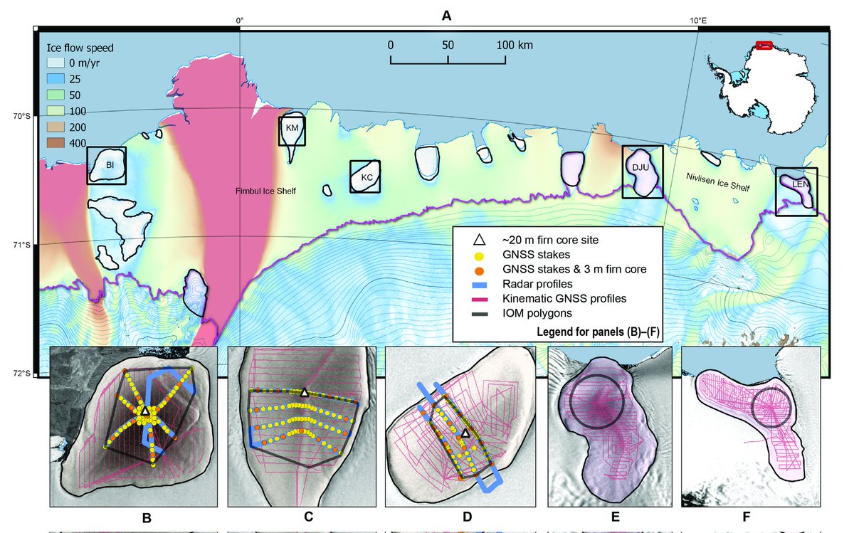
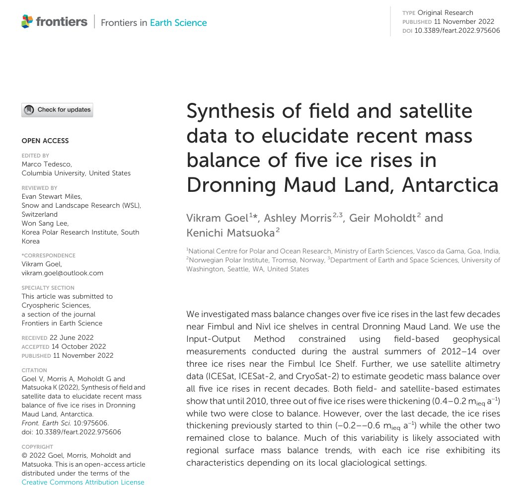
New collaborative study with @NorskPolar, investigates recent mass balance of five ice rises in East Antarctica.Uses both field-based geophysical and satellite measurements!
Read: https://t.co/XSPOsbrCvV
Authors:@vikramonice@kennyonice @AshMorris87
@moesgoi@forskningsradet
Last week, at the #SCAR2022, @TMeloth, @IcenPoles and @vikramonice gave talks presenting SIWHA’s rationale, plan and updates at the session titled "Past Polar Climate Variability and their Teleconnections with the Tropics".
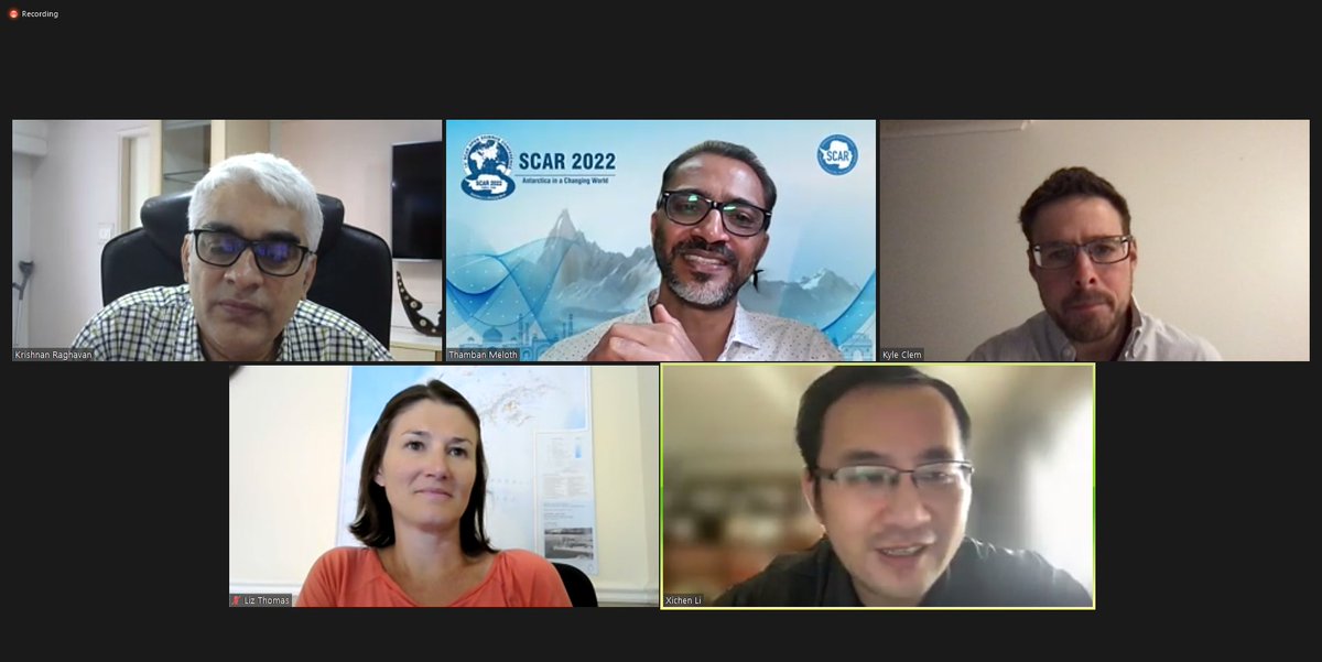
This week @SCAR_tweet organizes biennial Open Science Conference #SCAR2022, virtually hosted by @ncaor_goa. Today, SIWHA's Indian and UK PIs, Thamban and Liz, led a mini-symposia on teleconnections between the poles and the tropics, which is a hot topic closely relevant to SIWHA.
How much information can ice core images provide?
In our new paper from the #MADICE project and my PhD work, we show how line-scan images can be used to obtain a robust chronology of the ice core and also present a better technique for melt estimation. https://t.co/cTQdhMgBF0
It's been some exciting last few days at the @SCAR_Tweets#antarcticRings workshop, with wide variety of discussions on filling the critical knowledge gap at the margins of the continent. Big thanks to @moesgoi, @ncaor_goa and @SCAR_Tweets for letting me participate.
Calling ECRs using Remote Sensing data in Polar research! 🛰️
Please fill out this survey by 10/May/22 developed by the APECS Remote Sensing Project Group - we will use your input to develop a free online resource on Remote Sensing in Polar Regions https://t.co/Lw8NwbUO6R
Hurray! After hours of digging using both big machines and by hand, the team successfully retrieved both the ApRES systems from two locations, which were installed near the surface but were now buried more than 3m below surface. Treasure is basal melt records for the past 3 years
Team SIWHA is out to retrieve the phase-sensitive radar (ApRES) instruments that were deployed for obtaining a time series of basal melt rates on the Nivlisen Ice Shelf in 2018 as a part of MADICE project.
Team (from left): Himanshu, Jai Prakash, Vikram, Raj, Bhanu and Vijesh.
To a successful field season!
In spite of too many bad weather days, the SIWHA team was successful in achieving all their objectives and are now headed back with a flight full of cargo from the ice rises, with tasty food and comfy beds waiting for them at the Maitri Station!
Ice rises are surrounded by ice shelves and are locally grounded on an elevated seamount.
Hard to visualize?
Here, enjoy a bird view of Kupol Verbljud ice rise, the second ice rise that the field team visited, located at the edge of the ice shelves, right next to the ocean.
We are very well prepared but sometimes we need to troubleshoot. While surveying our second field site, the battery connection broke.
Time to show our electrical wiring skills!
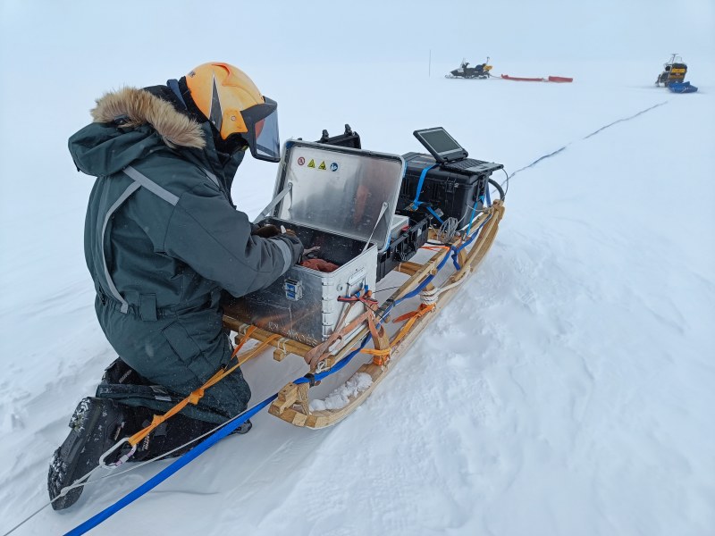
We are using ice-penetrating radars to map ice thickness and how the stratigraphy has evolved over thousands of years.
We also use precise GPS receivers to measure how the ice thickness has changed over the last few decades with respect to past satellite altimetry measurements.
SIWHA team is on the move again!
The Kupol Verbljud ice rise sits right at the coast surrounded by ice shelves, sea ice and the ocean. While surveying close to the edge of the “icy island”, we spotted our first iceberg, which soon broke into tens and later hundreds of icebergs.
The SIWHA team is finally at Kupol Verbljud ice rise!
Due to tricky landing conditions on rough snow surface, each flight can carry limited cargo. So it took three flight trips to move the team and all their cargo.
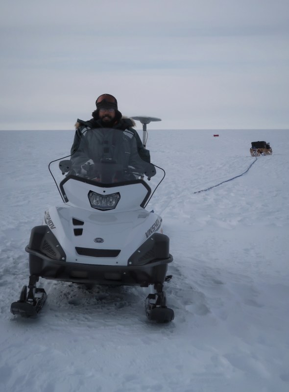
These drives for radar profiling are anything but comfortable, as wind and snowdrift have formed myriads of snow-capped sastrugi, the waves of the ice sheet. Sastrugi are hard as concrete and their height can be tens of centimetres.
But a rest day in camp is 100% comfortable!
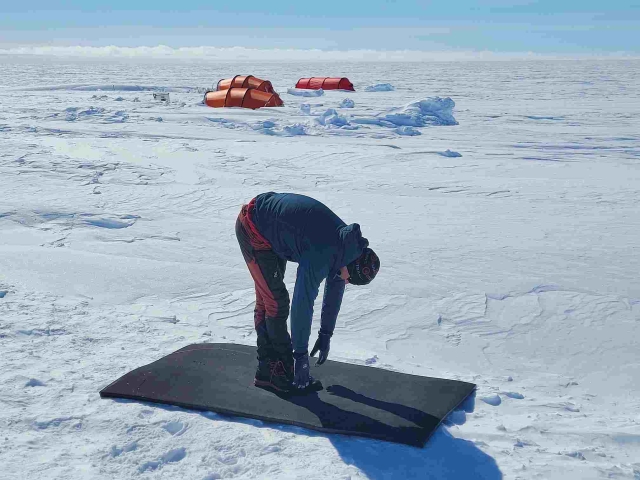
After almost 2 weeks on the Kamelryggen ice rise, the scientific work is complete and we're awaiting the flight to transfer to our second and last field site, Kupol Verbljud ice rise. We are using this opportunity to recover and stretch after long and bumpy days on snowmobiles.
The SIWHA team has been mapping the subsurface over the ice rise using a deep-sounding radar. This setup consists of transmitter and receiver sledges with long antennas. So it is like a 200-m long train towed by a snowmobile.
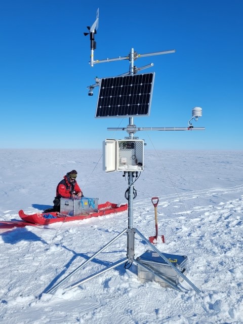
The SIWHA team was blessed with beautiful weather on arrival at their first field site and used the opportunity to install a Campbell AWS provided by the British Antarctic Survey, one of the three partner institutions in the project.
@ncaor_goa@NPIglaciology@BAS_News
The AWS was put at the summit of Kamelryggen ice rise, one of the candidate sites for deep drilling in the coming years. The station was set up just in time before a snowstorm hit the area.