*New Webinar*
LIVE Discussion on how we are bringing our 3D visualization software and services to AirMap's Jobsight, a drone workflow automation platform that optimize construction projects with digital intelligence.
9/17 2:00 PM EST https://t.co/2cRN9gjbfr
Skyline is excited to present and exhibit at some great conferences! Enhance all your decision making by unlocking the power of your imagery & #LiDAR & building a 3D world.
Xponential 5/4 - 5/6
https://t.co/AEoi7loM36
#3dmap#gis#digitaltwin#auvsi#xponential#3dgis
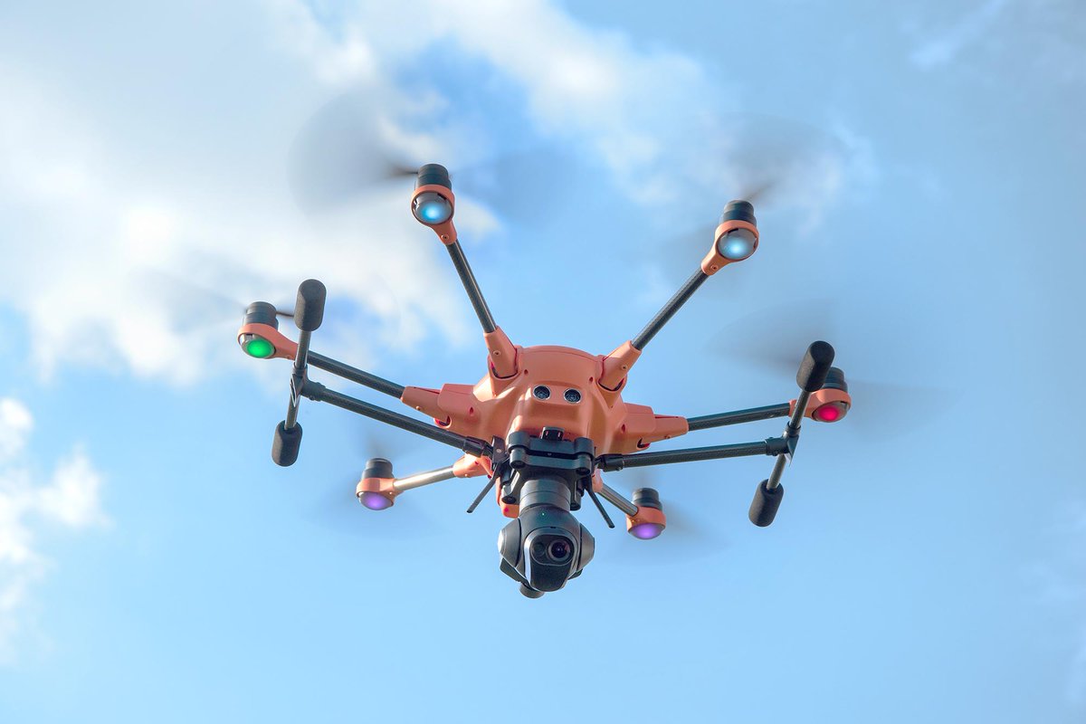
We are so proud to announce our partnership with Yuneec Europe to provide a state-of-the-art data visualization tool for the European UAV industry.
Read more at: https://t.co/ma6SwFb6ob #gis#dronenews#3dmapping#drone#uav#datavisualization
TerraExplorer's underground navigation mode allows you to explore the subsurface of the terrain by navigating under the terrain’s surface and through buildings.
Learn how: https://t.co/kwGE3qYWgI
#3dModeling#3D#gis#3dundergroundmap
TerraExplorer supports the creation, positioning, and styling of 2D, 3D, dynamic, and terrain objects.
Use our Knowledge Base to learn how to use dynamic objects to add movement to 3D objects. #3d#3DAnimation#3Dmapping#gis
https://t.co/IgtIzU4Lvn
NEW WEBINAR Showcase of spectacular results of our collaboration with IGI mbH and @kavel10. Will feature demonstrations of stunning 3D digital twins of Münster, London, and Rotterdam. https://t.co/5LWoOLgCCU
12/2/20 0830 AM EST #digitaltwin#gis#3dmodel#lidar#gisapplication
TerraExplorer's Viewshed Analysis allows users to calculate the view from a selected observer point or analyze the visibility of a selected area from multiple observer viewpoints.
Try it for free here: https://t.co/TucwkGEQwL
#3dgis#lineofsight#3dmapping#gisvisualization
TerraExplorer's Water Effects allow you to simulate naturally or artificially flowing water such as rivers, oceans, waterfalls, and pools.
Learn how to add these stunning animation effects here: https://t.co/kNIvHDBtwn #3D#3DAnimation#3DDigitalTwin
#TerraExplorer's animation effects simulate natural phenomena such as fire, smoke, explosions, or fireworks, by modeling the underlying physical processes of these phenomena.
Use our Knowledge Base to find out how: https://t.co/3GSuoYG9tw #3D#gis#3DMapping
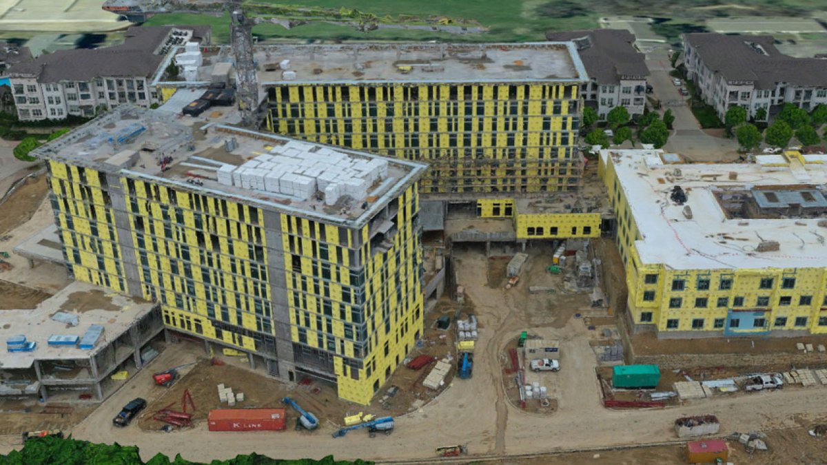
Watch our webinar announcing our partnership with the amazing team at @AirMapIO
We are excited to bring our 3D visualization software & services to Jobsight, the drone workflow automation platform! https://t.co/4XRSBPCL8E
#uav#dronesinconstruction#drones#3dmodel#digitaltwin
*WEBINAR*
LIVE Webinar will feature formal launch announcement with Bob Peters, CEO Skyline Software Systems, Inc & Phil Mann, General Manager, Advanced Technology Labs - Americas (a Yuneec Co.)
https://t.co/HUOsi8b7iX
*New Webinar*
Join us LIVE for the formal launch announcement.
Webinar will feature Bob Peters, CEO Skyline Software Systems, Inc & Phil Mann, General Manager, Advanced Technology Labs - Americas (a Yuneec Co.)
Register here: https://t.co/4scC0zEFYG #uav#uavexpo#3dmap
We are excited to announce a partnership with Yuneec, one of the world's largest drone manufacturers to bring PhotoMesh UAV to the commercial UAV industry! https://t.co/P2YUIZEESw
#uav#uas#gis#datavisualization
Skyline UAV Solutions: the power of accurate 3D models & cutting edge visualization tools. Using UAVs to capture images/video, emergency management officials can use our PhotoMesh UAV to create and use a 3D model of an affected area. #uav#3dmap#3d
Announcing 'Skyline UAV', the most technologically advanced data visualization software available.
Visit us at https://t.co/3NpMwtWGKf to learn more about our accurate, actionable 3D digital twins and advanced analytics tools.
#3dmaps#uav#dronephotograpgy#gis#gisdata#3d#vr
We are so excited to sponsor the Photogrammetry, 3D, and Lidar Community of Practice Conference by @NCSIEvents, August 11 - 13.
Our own Eatay Ben Shechter will be presenting, so don't miss it!
https://t.co/FPcrX5rYH9
#lidar#gis#gisdata#3dmap