The atmosphere is a tactical domain. We're launching Spatialair to provide mission-critical environmental intelligence for government and defense operations. Stay tuned.
Email: [email protected]
Website: https://t.co/C2yWnaGokz
#Spatialair#DefenseTech
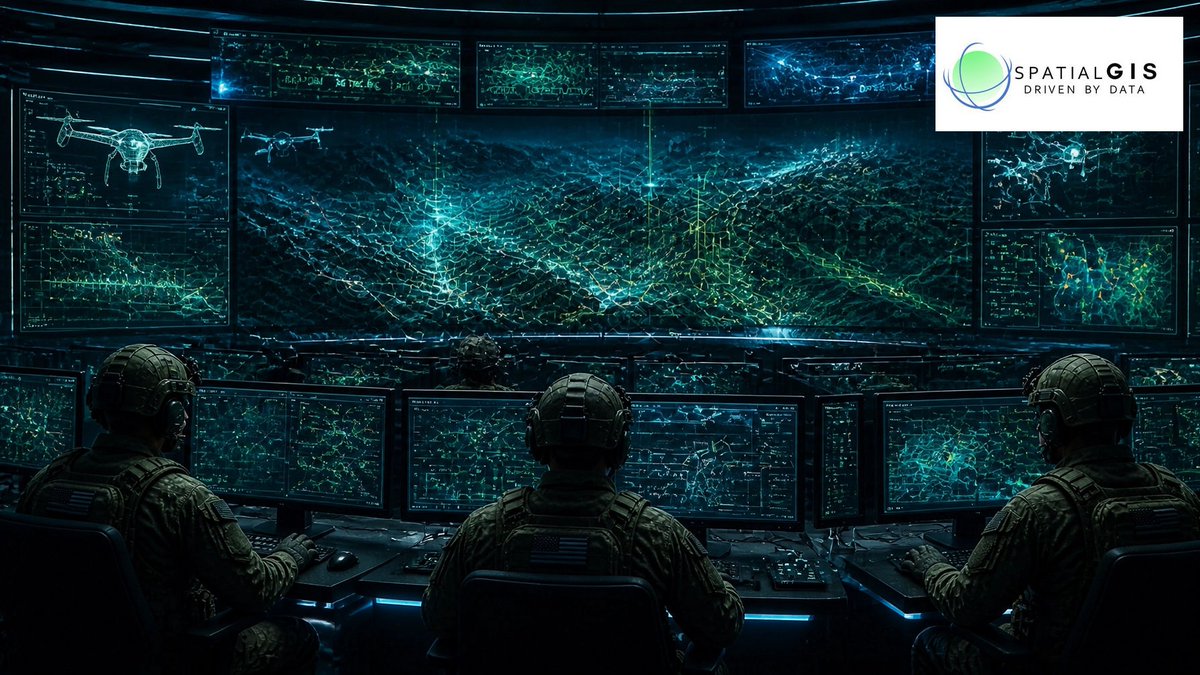
Next-gen warfare requires autonomous detection. SpatialGIS uses AiTR and multi-sensor fusion to identify, track, and defeat Group 1-3 UAS for the Department of War.
Email: [email protected]
Website: https://t.co/C2yWnaGokz
#AiTR#CUAS#GeoAI#AntiDrone
Today we honor the brave men and women who made the ultimate sacrifice to protect our nation. We are forever grateful for their service and dedication. 🇺🇸 #MemorialDay#SpatialGIS#Gratitude
Real-time decision dominance starts at the edge. Our AI fuses space-based ISR for a resilient "Kill Web" in denied environments for the Department of War.
Email: [email protected]
Website: https://t.co/C2yWnaGokz
#EdgeAI#KillWeb#DefenseTech#SpatialGIS
Achieve decision dominance via 3D Gaussian Splatting. We integrate models into CJADC2 for urban/littoral ops. Precision is the edge. 🛡️
Email: [email protected]
Website: https://t.co/C2yWnaGokz
#GEOINT#CJADC2#GaussianSplatting#DOW
Clarity is decision dominance. SpatialGIS delivers CJADC2 interoperability, fusing radar, EO/IR & acoustic data for a 4D COP. We accelerate the sensor-to-shooter cycle for the Department of War.
Email: [email protected]
Website: https://t.co/C2yWnaGokz