Unveiling the Magic: The Secrets Behind 10 Amazing Apps
Join my good friends @JuliePowellGIS - Principal Product Manager, and @nicolaraluk - Sr. Solution Engineer, as we take apart 10 apps and more.
March 13th #EsriDevSummit2024 https://t.co/gskhHvqXL9
Real-time Situational Awareness
App designed to continuously monitor methane sensors, nearby incidents, vessels and aircraft and analyze risk to facilities and employees.
#Esri Maps SDK for JavaScript and Real-time Analytics.
https://t.co/HSmHrHJs07
Monitoring real-time wind turbine sensors and using graph analytics to identify patterns in similar turbines using @Esri @ArcGISJSAPI.
#Sustainable#Energy#DigitalTwin
https://t.co/EYAKgxd3NQ
Hurricane Tracking Map: https://t.co/Sq0By7Pdpb
An old map that comes back to threaten me every year. Built with @Esri live feeds for hurricanes and @ArcGISJSAPI
https://t.co/BXrQhONbK5
Introducing https://t.co/fzoz5YdDpF a new website that will showcase apps with advanced analytics capabilities #Esri#ArcGIS.
Stay tuned!
https://t.co/BXrQhONbK5
Introducing https://t.co/fzoz5YdDpF a new website that will showcase apps with advanced analytics capabilities #Esri#ArcGIS.
Stay tuned!
Digital Twin: Combining real-time, big-data and graph analytics to identify potential problems in a replica of a real-world system.
Built with @Esri technology #DigitalTwins
The @relivecc app makes outdoor adventures come back to life with 3D maps, geotagged photos, and even music. Read how one cyclist used Relive to document his journey on the Pacific Coast bicycle route from Canada to Mexico. 🚴 https://t.co/kkhurIWSsq #GetOutThere#GIS
@nicolaraluk@Esri @ArcGISJSAPI Thanks. It is using the geometry engine to intersect building footprints with circles to calculate visible areas. Credit actually goes to @johndgrayson9 for the original idea. We are working on making the source code available for some of the apps.
Line of sight analysis with @Esri @ArcGISJSAPI to dynamically calculate visible areas around street light poles based on visibility range and minimum distance between poles
https://t.co/QhX3Ucfau1
Starbucks vs. Dunkin: Mapping the best place to pick coffee.
Using foot traffic from cell phones to project how crowded each location is around you. #ArcGISJSAPI
https://t.co/vtduIPfRk9
3D version of search nearby app with routes computed in the browser. Built with @Esri World Geocoding Service and @ArcGISJSAPI ES modules.
https://t.co/owaZopRW0l
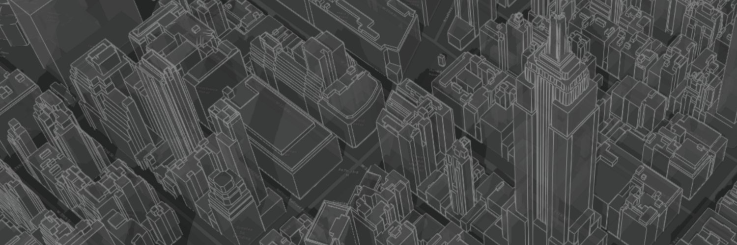
Visualizing building energy consumption compared to average for all buildings of same primary use type.
Built using #NYC#opendata and @esri @ArcGISJSAPI
https://t.co/iclauDFGzi
Top 5 daily 311 request types by neighborhood https://t.co/3Jdz4gx5pv
New visualization ideas for city-government dashboards using #OpenData and @Esri @ArcGISJSAPI
COVID-19 Timeline Map: https://t.co/hphGfVMS18
Possibly, the saddest map of my career and a reminder to #WearAMask
Built using JHU CSSE data and an early beta of the new ESM build of @Esri @ArcGISJSAPI