This is the most important thing being said in ag drones right now. Hardware got ahead of workflow years ago.
The operators winning aren't the ones with the newest airframe — they're the ones who land, upload, and deliver a professional report before the next client calls.
Repeatable workflows start with repeatable documentation, which is where FieldScope comes in.
We make documentation easy and seamless.
6 hours to analyze a 20-minute drone flight.
This is why I started FieldScope.
Thread
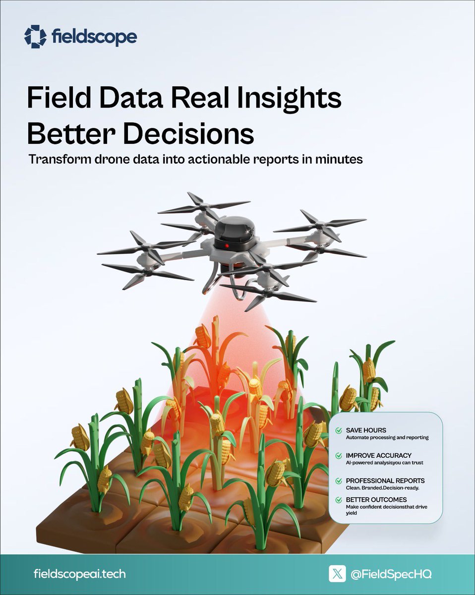
How FieldScope turns raw drone data into actionable insights:
1️⃣ Upload survey footage
2️⃣ AI identifies crop stress patterns
3️⃣ Generates treatment recommendations
4️⃣ Exports professional PDF report
Total time: 15 minutes.
Total complexity for you: Zero.
The best ag technology is invisible.
You don't think about your combine's GPS while harvesting corn.
You don't analyze your planter's algorithms during spring work.
You shouldn't wrestle with your drone's data processing during survey season.
FieldScope: Advanced AI that works like simple tools.
Tested every major drone survey platform last month.
The results will surprise you. Some charge $3/acre for reports you can't even customise.
Test FieldScope for free here https://t.co/jzp15LPY8O
Survey software users:
What's your biggest frustration with your current platform?
Processing speed
Hidden fees per acre
️Cloud dependency
Lack of customisation
Sound off below 👇🏽
Being right in prediction markets feels useless when your upside is capped.
You called the outcome. You timed it well. But 1x means 1x.
XBIT built Prediction Leverage to fix that. 🧵
Crop consultant just told me:
“I'm drowning in data I can't use.”
40 surveys this season. Zero weekend time left.
This industry has a data processing crisis. We are here to solve it
Better data, better decisions — exactly right. And the report that communicates those decisions to the client matters just as much as the scouting itself.
A 15-minute professional report vs. a 5-hour scramble. Same data, completely different outcome.
Spent 4 hours yesterday trying to explain orthomosaic processing to a corn farmer.
His response: “I just want to know where my nitrogen went wrong.”
We're overcomplicating precision ag.
Europe is finally opening up to agricultural drones after a 16-year ban.
More flights, more surveys, more data. And more reports that need writing.
The operators who scale won't be the ones with the best drones — they'll be the ones with the fastest post-flight workflow.
Quick poll for the ag community:
What's your biggest bottleneck after collecting drone survey data?
- Processing/stitching images
- Analysing the results
- Creating client reports
- Just funding the time for all of it
Drop your answer below 👇🏽