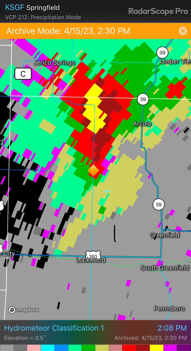
Looking back at yesterday’s extremely large hail that fell SW of Arcola, MO. Classic size sorting where the biggest hail may not fall where the highest reflectivity is (the core). Looking at these radar images, would you guess 4” hail was falling at the location plotted? #MOwx
Around a year from today, a historical event will be on the brink of unfolding. 😳
April 8th, 2024, a total solar eclipse will occur. The path of the eclipse will traverse our country from southwest to northeast.
I’m excited, I wish it was this year!
Here’s to hoping the weather is gorgeous then and we aren’t dealing with any pesky severe weather!
ONE YEAR FROM TOMORROW: The "Great American Eclipse" will carve a path of totality right through the heart of Texas.
For up to 4 minutes, near-total darkness will occur in the middle of the afternoon. Austin, San Antonio, and DFW are included. Pray for a cloudless sky! #txwx
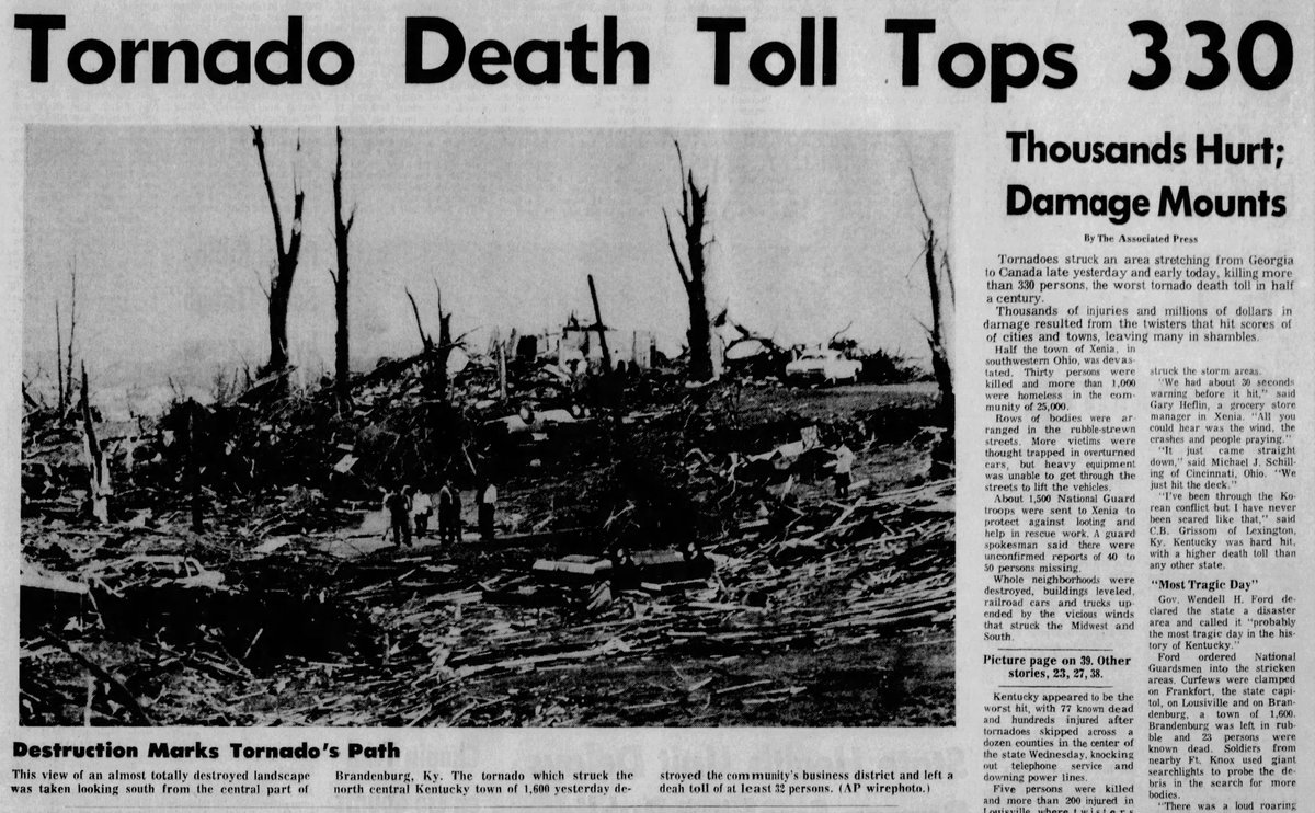
April 3-4, 1974:
The original Super Outbreak pummeled the Eastern US with 148 tornadoes in 24 hours. An astonishing 30 tornadoes were violent, a record 7 of which were rated F5. Many large cities sustained direct hits. Over 300 people were killed & 5.4k were injured.
#wxhistory
From Little Rock tornado survivor: “Here is the video that almost took my life. Stop recording tornadoes and get in shelter instead. I have learned this the hard way.” https://t.co/srDcIMjitD
Well this is just CRAZY. The street sign from Wellington Colony Dr in west Little Rock was found in Sherwood just north of Club Rd.
This street sign travelled airborne for 13 MILES and it is beat up!
Thanks to John Rennard for sending this in. #arwx
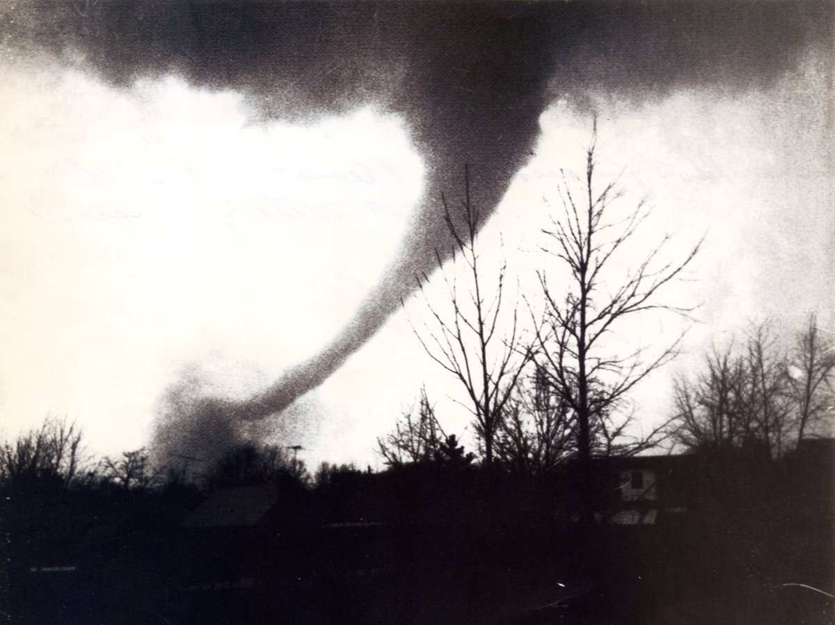
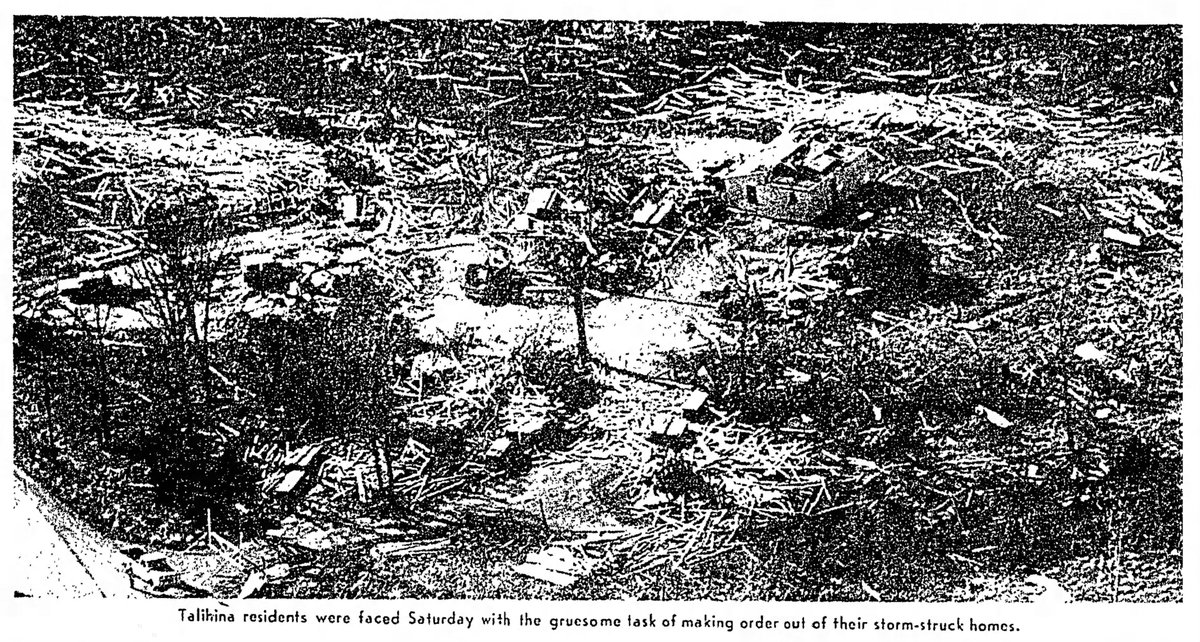
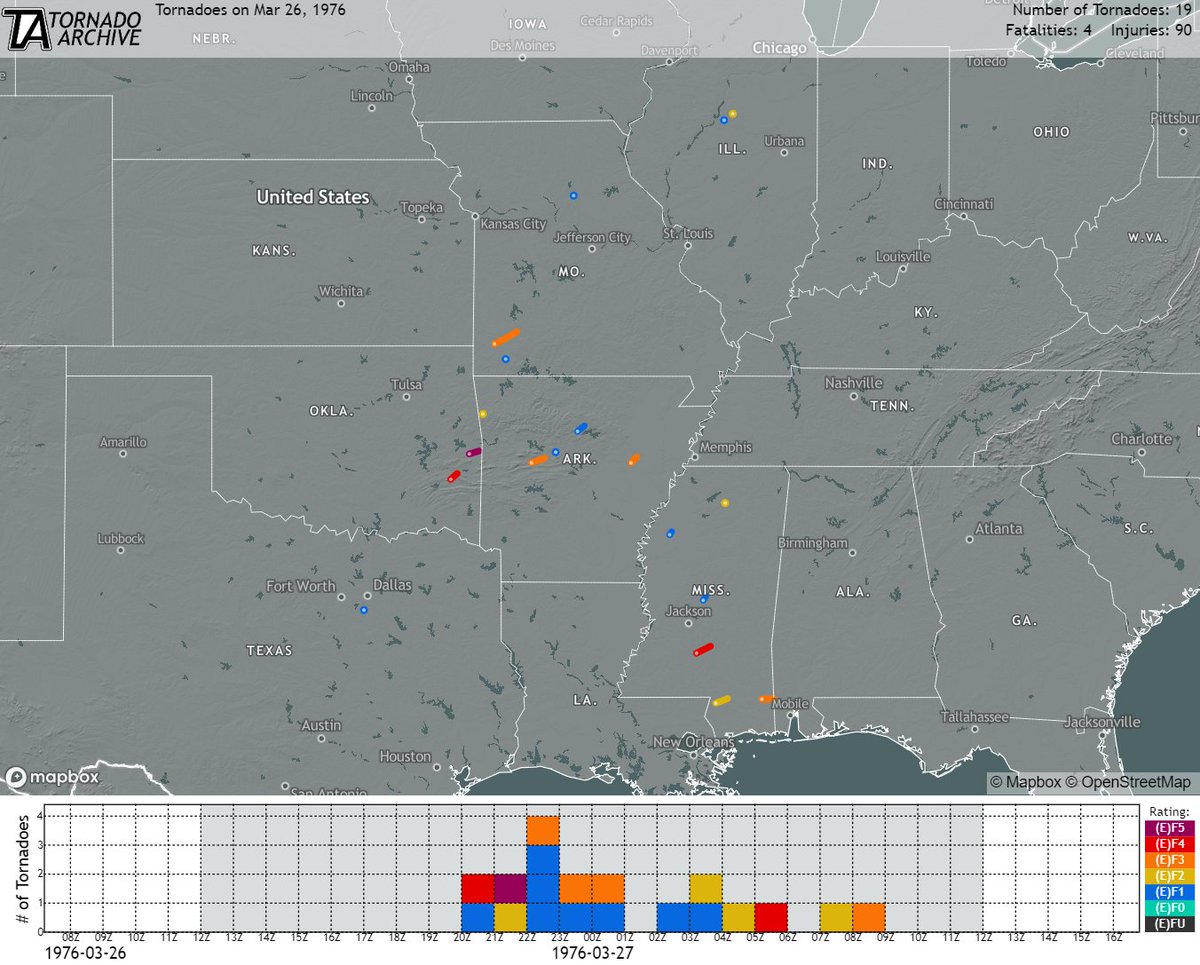
March 26-27, 1976:
An outbreak of nineteen tornadoes struck several states from Texas to Illinois. Officially, eleven were significant (F2+). An F5 (rating is disputed) produced substantial damage in Spiro, OK. Talihina, OK, was hit by an F4. Four people were killed.
#wxhistory
Rolling Fork/Silver City MS tornado receives preliminary peak damage rating of EF4, based on in-person direct survey results from an expert team of NWS & PERILS field-project scientists who have examined the damage evidence in person, using well-established EF standards.
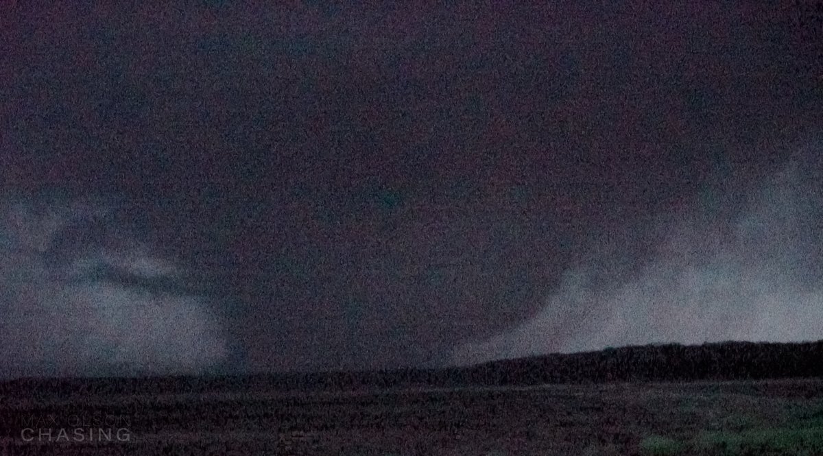
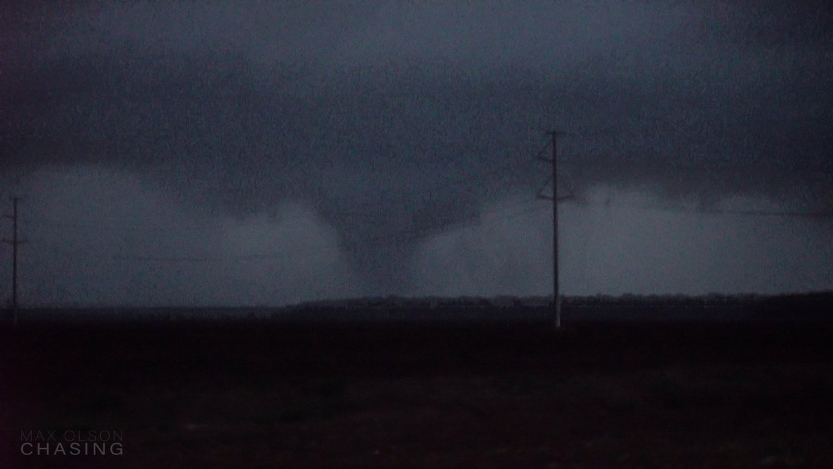
A series of video stills showing the evolution of the Rolling Fork, MS Tornado. The tornado develops well to our west, grows in size/intensity, crosses the hwy just to our north, then goes into town.
Full video can be found here - https://t.co/Oqz6AKLKK6
Several rounds of showers and thunderstorms with heavy rain occurred last night into this morning across the area. The heaviest rain occurred from McDonald County to just south of Springfield into Texas county with 2 to 5 inches of rainfall. #mowx#kswx