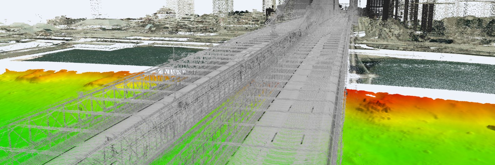
Teledyne Optech and CARIS form Teledyne Geospatial to map 🗺️ land 🏝️ and sea 🌊 through #lidar sensors. Learn more what this collaboration will bring to customers. #mapping https://t.co/Z8tiAJoIHN
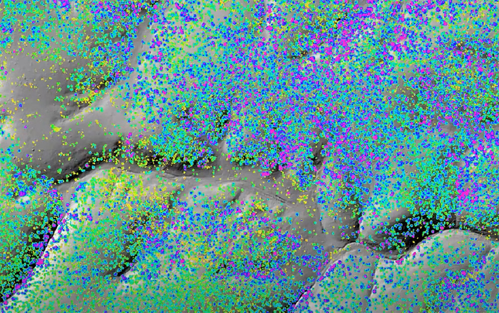
Precision forestry has brought digital tools like #lidar and aerial drones to transform an industry that hadn’t changed in 300 years. #climatechange#drones#forestry
https://t.co/CISGkrtOE0
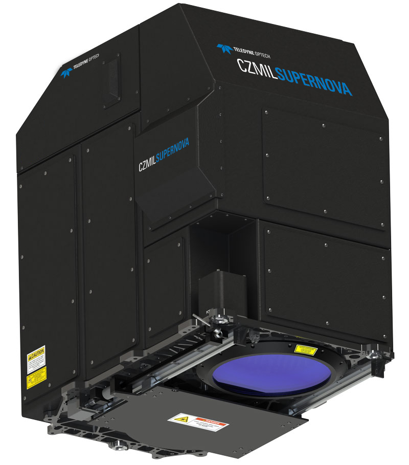
The hydrospatial industry is facing a growing demand for data and a shortage of resources to meet this increase in growth. Join us to discover the leading advancements in bathymetry lidar and how Terratec is putting our new CZMIL SuperNova to use. https://t.co/SzPQWCJCEJ
We are better together! New Teledyne Geospatial combines world-leading expertise of CARIS & Optech to deliver comprehensive solutions for land and sea. https://t.co/t1eZl6Q2TL
Join us tomorrow (9/14) at US Hydro for a presentation from our own Marc Thibodeau and Alison Proctor of Ocean Floor Geophysics on Remote Bathymetry Processing Solutions for #Offshore and #Onshore Operations. #bathymetry, #oceanmapping, #processing https://t.co/TSiCMQn7HH
Are you attending US Hydro? Join us tomorrow, Tuesday September 13 from 1:40 p.m. to 1:50 p.m. for our presentation on CZMIL SuperNova: Next Generation Bathymetric/Topographic Lidar System from our own Jen Aitken! #bathymetry, #lidar, #oceanmapping#airborne
CMS V500 has been innovated by #surveyors with the understanding that a controlled workflow is everything. Find out how CMS V500 can help you. Check out our video here. #mining#miningengineering #undergroundmininghttps://www.youtube.com/watch?v=Y0ErqVIUJDQ
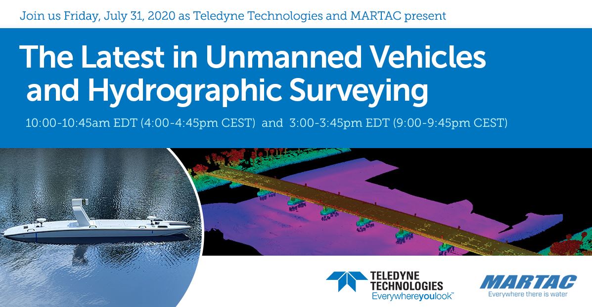
Join Teledyne Optech, Teledyne CARIS, Teledyne Marine and Marine Tactical Systems (MARTAC) for new efficiencies for safe #survey, and a live demonstration. #geospatial #geospatialsolutionshttp://ow.ly/vCyG50G0LKu
Join our webinar with Marine Tactical Systems (MARTAC) and learn about new efficiencies for #safesurvey, plus a live demonstration. #geospatial #geospatialsolutionshttp://ow.ly/W5Lc50G0LOP
We're excited to be a part of INTERGEO 2021. We've missed everyone and look forward to showcasing our new technology and engaging in meaningful conversations about all things Geospatial! #Lidar#Geospatial