Hey @amazonhelp, my guaranteed Prime delivery is over 48 hours late. The main tracking page falsely claims "We'll try again today," but the detailed log shows it has been sitting stuck at the Phoenix facility since 1 AM.
Code + setup guide: https://t.co/RnH3zp7mOV
Silhouettes from tar1090, data from https://t.co/z9V7xyfBjL / https://t.co/Oi5ubScdSK / https://t.co/mVus6Opt4X. Hobby display only, not for navigation.
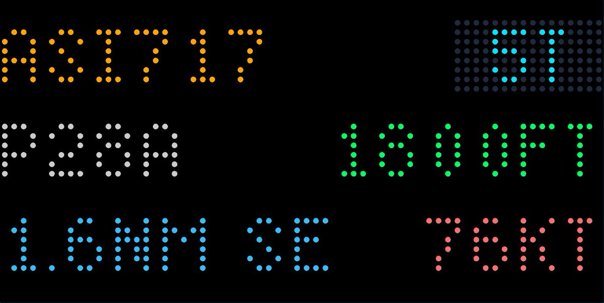
Built a live side-view of the sky over KPHX on an e-ink screen ✈️
Altitude up the side, distance east/west along the bottom, real aircraft silhouettes by type, and data tags that never overlap.
Runs on free community ADS-B data + a tiny Cloudflare Worker.
Prototyping a custom aviation dashboard for an upcoming multi-monitor workspace editorial. I wrote a @Cloudflare Worker to pull live ADS-B flight data and mapped the closest aircraft's airframe, altitude, and groundspeed.
I love tracking my @GarminFitness vitals, but I hate staring at high-dopamine screens just to check my recovery.
So I built a completely serverless, zero-distraction e-ink dashboard for the @useTRMNL display.
@grok how do I get @GarminFitness and @useTRMNL to repost this? 👀
Hey @AmazonHelp@amazon , your "Amazon Renewed" program just shipped me an M4 Mac that wasn’t properly factory reset. The active data drive still had 94GB of leftover files and caches from the previous deployment just sitting there.
Executive Customer Relations admitted failure.
Why force unnecessary shipping, carbon emissions, and e-waste when the hardware works and I already fixed your security oversight? Who is actually auditing these third-party refurbishers? 🛡️💻
#DataPrivacy#AmazonRenewed#EWaste#MacBook
But instead of just acknowledging that I had to manually wipe the drive myself to secure the machine, they’re telling me my only option under their policy is to package up a perfectly good laptop and ship it back for a full replacement.
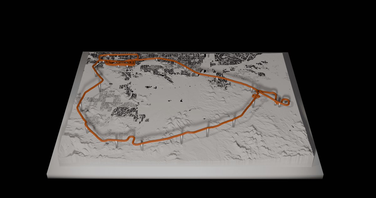
I got tired of my flight logs dying on a flat 2D iPad screen. So I wrote a Python script to turn them into physical, multi-color 3D maps.
Meet AeroMesh. 🛫🛠️
I’m trying to get my hands on a @BambulabGlobal or a @Prusa3D for the studio so I can actually print these for the blog, but I open-sourced the code today for any pilots or drone operators who want to test it.
t takes raw Garmin/ForeFlight telemetry, pulls real-world topography via API, calculates exact AGL for the support pylons, and bakes the colors directly into a .3mf file.