Hi. ⛈️count: too many to count, 🌪️count: 1 | @TheWxPal | 17 | 6’1 | Proud Christian | Just trying to watch the skies | hobbies are weather, drawing, and gaming
12:45am CDT #SPC Day2 Outlook Enhanced Risk: Monday afternoon through Monday evening across much of the middle Mississippi Valley including portions of southeastern Iowa southern Wisconsin..eastern Missouri much of Illinois and po... https://t.co/Y1WiOd8m1i
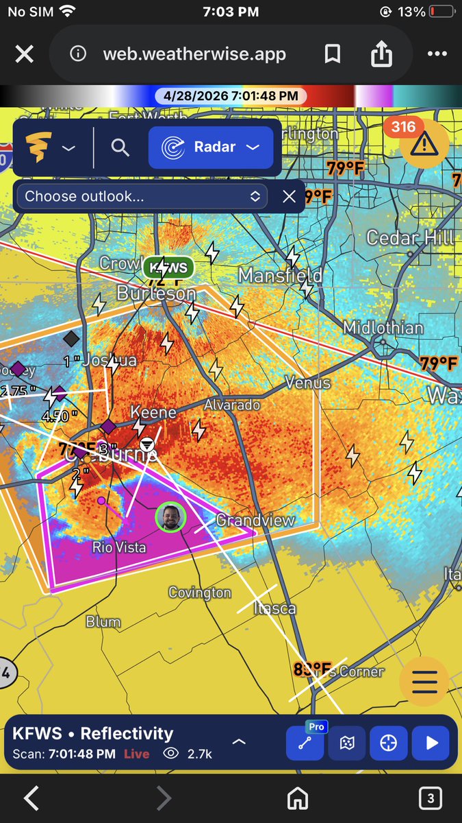
My heart and condolences go out to everyone impacted by a tornado today, especially the Enid one. That was so intense, it looked surreal. Damage looked so bad on radar/Correlation Coefficient. Today was bad, and there’s more to come in the next few days. Stay weather aware!
The SPC has decided to expand the D5/Thursday risk. The though looks a bit more certain now. They also added a new D6/Friday risk for much of Arkansas, and other states because CAPE will be pretty strong (or at least enough for a real severe risk). Watching both days closely now!
A 15% risk is in place for parts of the Southern Plains for D6/Thursday. Isolated supercells are possible in the afternoon/evening as moderate-strong instability forms, along with a sharp dryline in the area. The evolution of the mid-level trough is unclear. Watching this closely
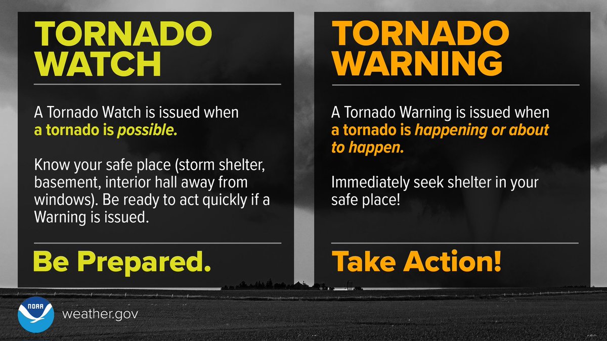
Tornado 🟡WATCH = be prepared🟡. Stay informed and be ready to act, because tornadoes are possible. Tornado 🟠WARNING = take action🟠. Take shelter in a basement or interior room of a sturdy structure, because a tornado is occurring or will occur shortly.