Yesterday, the Cumbre Vieja volcano in the Canary Islands fired lava more than 400 meters into the sky, showing that the destructive volcano is not slowing down anytime soon. https://t.co/qW3viGc6mS
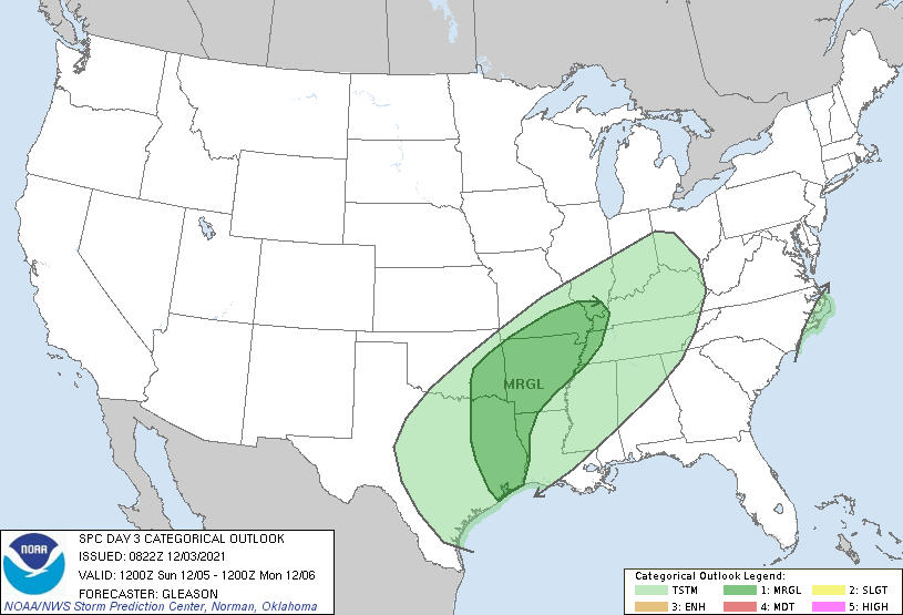
#EAS431 Not too late for severe weather. Th Storm Prediction Center Day 3 Outlook shows that there is a marginal risk for severe weather on Sunday in parts of the southcentral United States. Isolated severe thunderstorms with strong to damaging winds are possible.
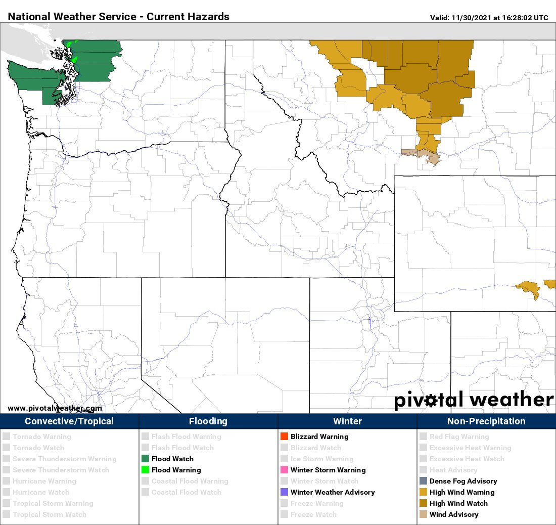
#EAS431 Wind headlines have been issued for parts of Montana from Tuesday afternoon through Thursday morning. Wind gusts up to 90 mph are possible along the Rocky Mountain Front near Glacier National Park.
the state. Because the temperatures were just below freezing, the was wet and heavy, causing collapsed rooves, snapped tree branches, and downed power lines.
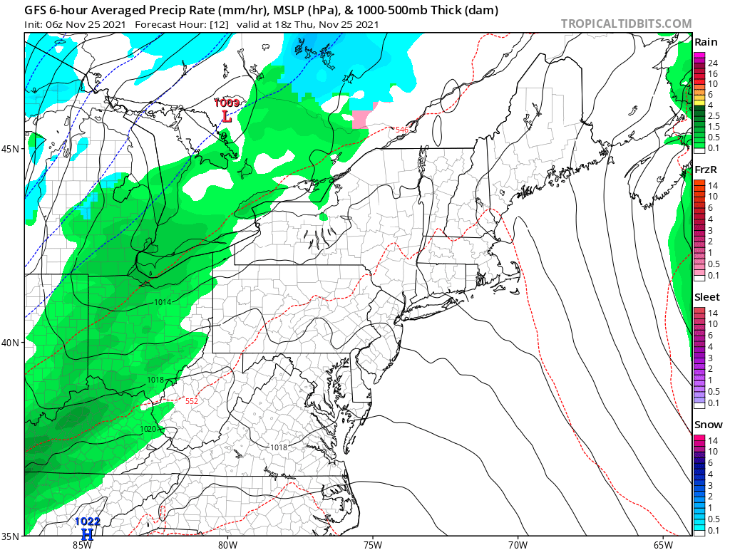
#EAS431 Happy Thanksgiving everyone!!! I hope you all have a wonderful day with family and friends. Most of the Northeast will experience dry conditions during the before some precipitation chance move in tonight. This is much different Thanksgiving Day in 1071. The night before,
snow began to fall in parts of the Northeast, including Pennsylvania. The snowfall intensified through the night and by the afternoon on Thanksgiving Day, snowfall totals ranged from 20 to 30 inches across thestate, with the highest totals being found in the northeastern part of
burning on days when it is too dry. Before burning debris and leaves that are in your yard, be sure to check with the National Weather Service and your local authorities to ensure that it is safe to burn.
#EAS431 Red Flag Warning are in effect for Tuesday across the High Plains and Western Prairies. Gusty winds and low relative humidity will increase the risk for wildfire development and spread. Fire needs three main ingredients to in order to start. These three ingredients are
fuel, oxygen, and heat. Sometimes fires can begin by the natural heat of the sun, while other times it is started by the carelessness of humans. Some of the main ways that humans start fires includes arson, not putting out campfires, discarding cigarettes in wooded area, and
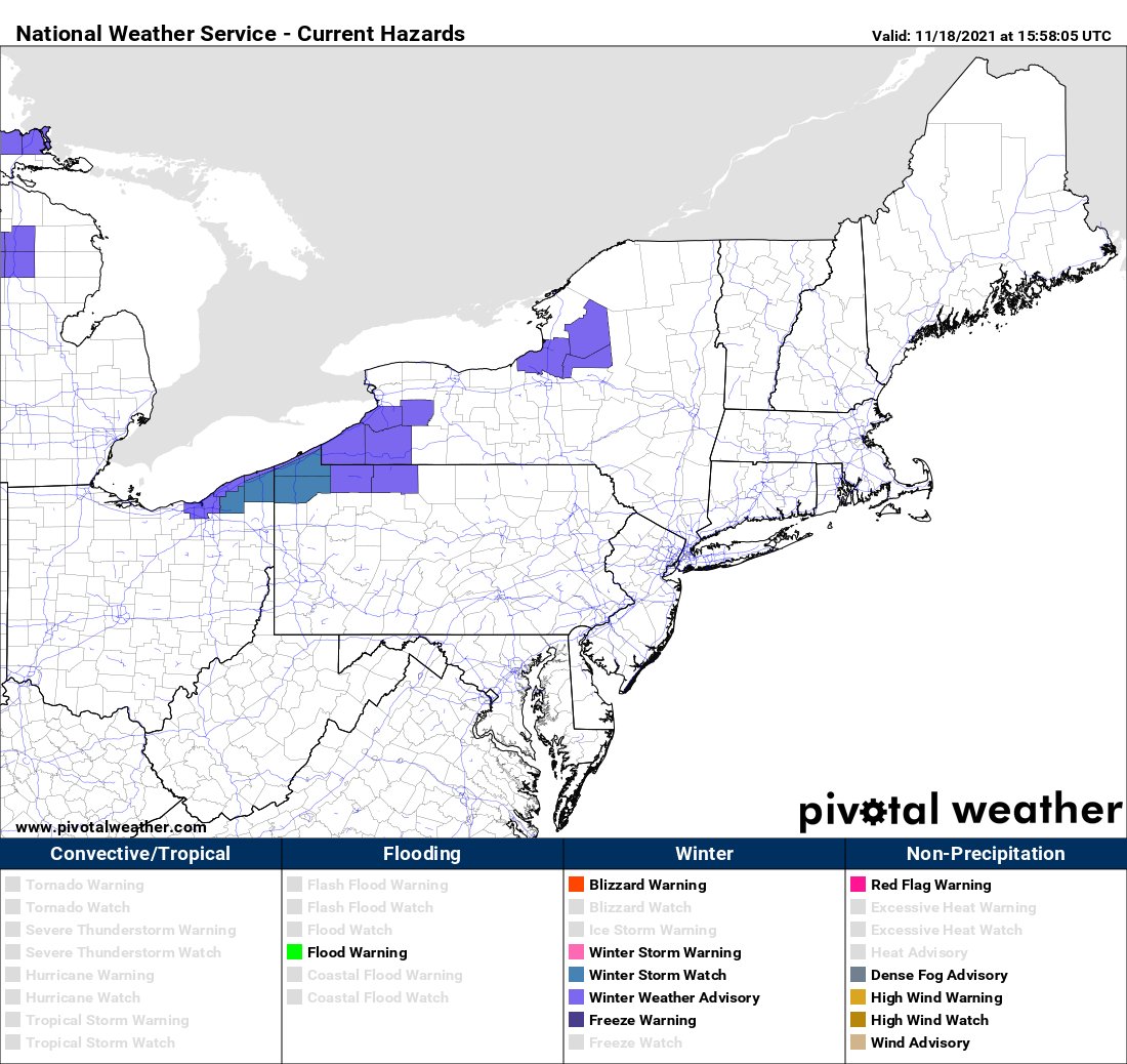
#EAS431 A cold front will move east across the Great Lakes on Thursday. Cold air in the wake of the front will produce lake effect snow east of the lakes. Watches and advisories are in effect for some locations for Thursday night into Friday morning.
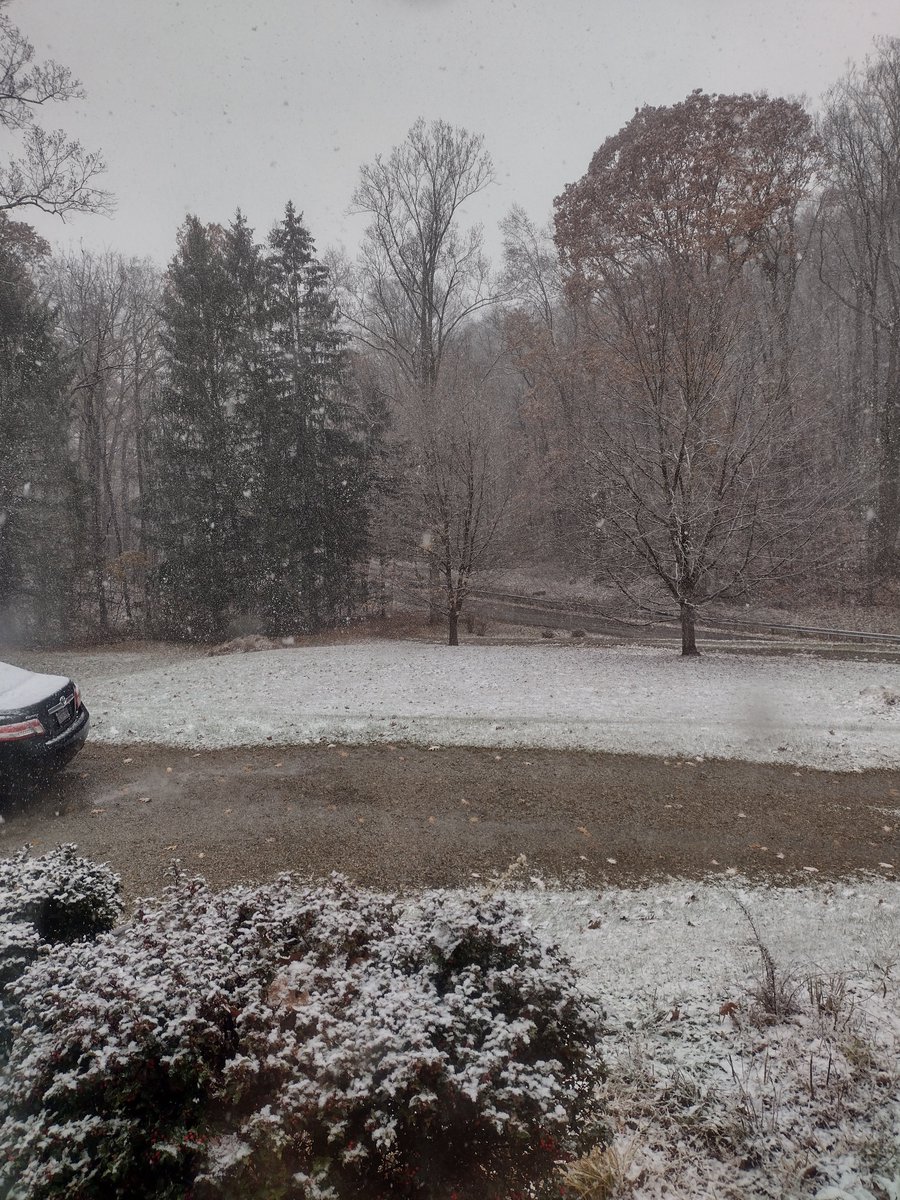
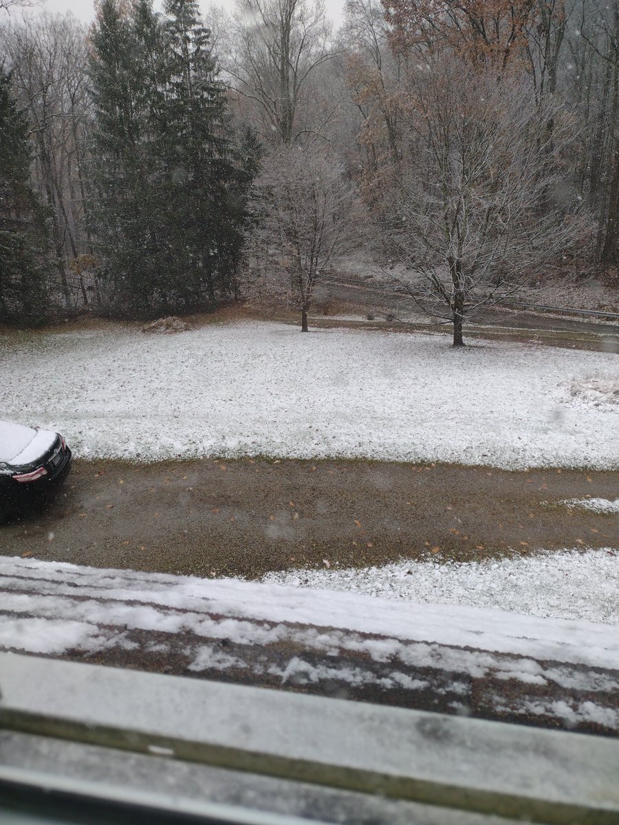
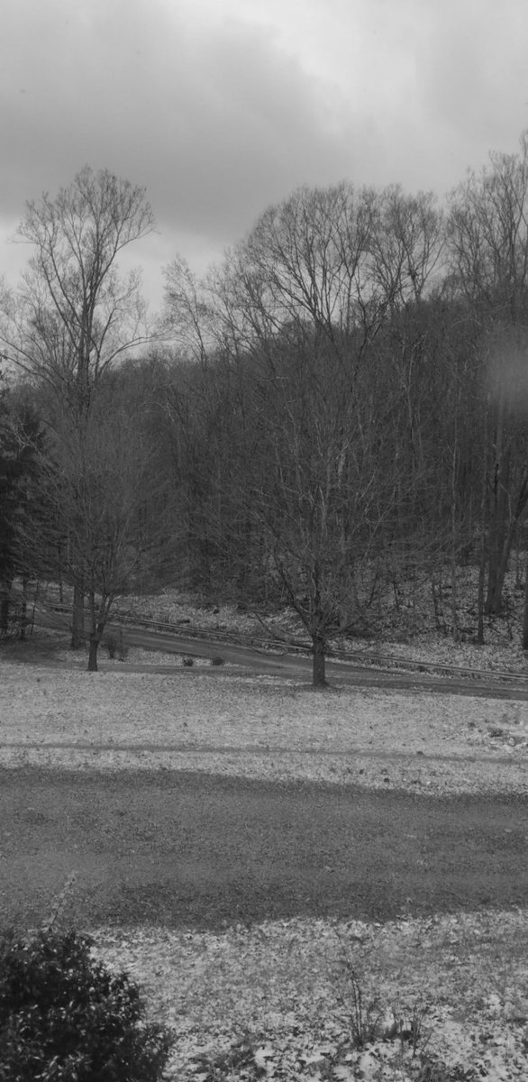
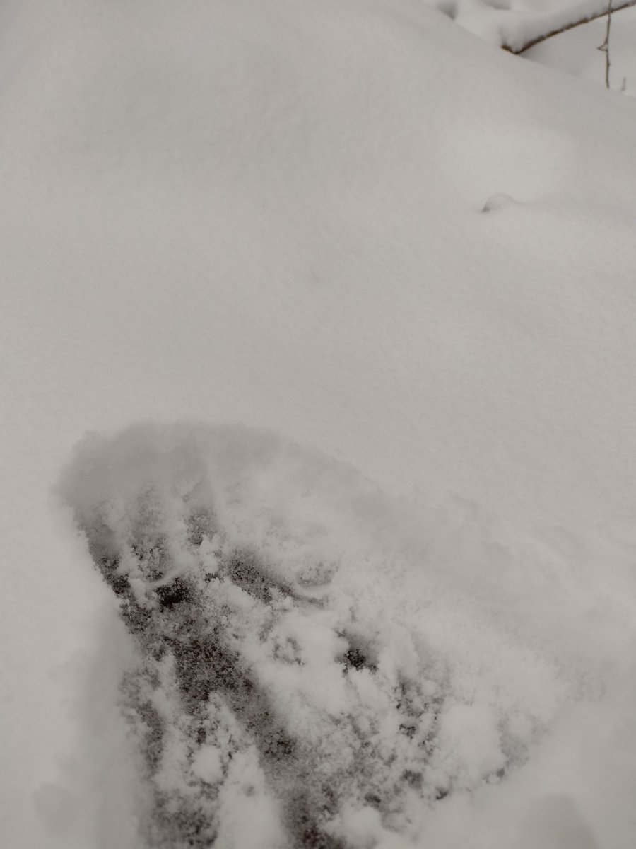
#EAS431 A wintry scene this morning in the higher elevations of southwestern Pennsylvania. These photos were taken at 2300 ft in the Chestnut Ridges outside of Derry.
@NWSPittsburgh Between 1.5 and 2.0 inches on Chestnut Ridge between Ligonier and Derry (elevation 2300 ft). Treacherous travel conditions above 1600 ft.
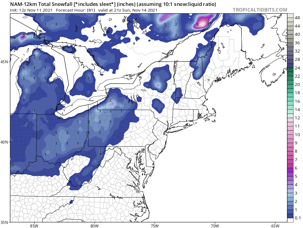
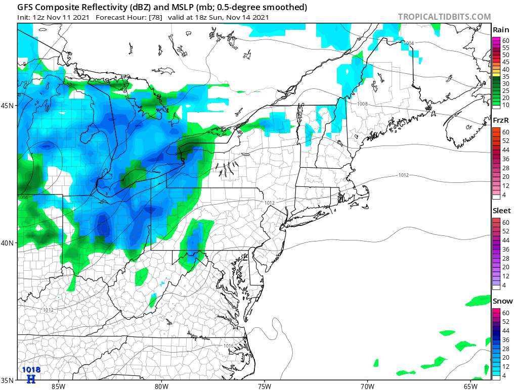
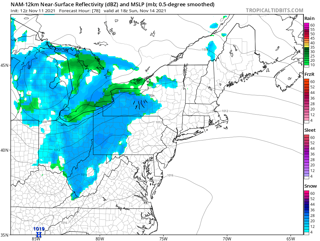
#RAS431 There is a high likelihood that parts of western Pennsylvania will see its first snow of the season this weekend. Some accumulation may occur, especially to the north of Pittsburgh and in the Laurel Highlands.
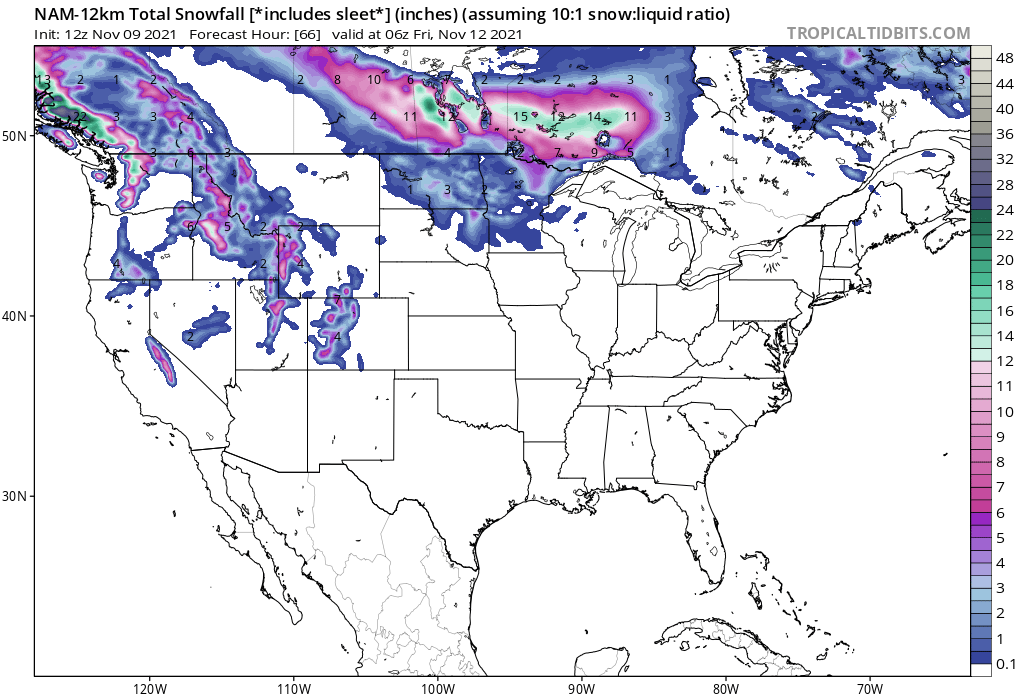
#EAS431 A storm system will bring the potential for accumulating snowfall to the Northern Plains on Thursday. Slick travel and low visibility may result.
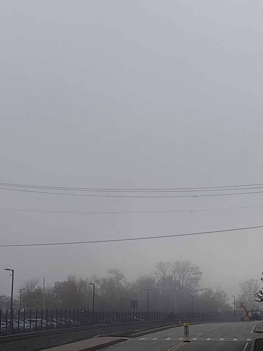
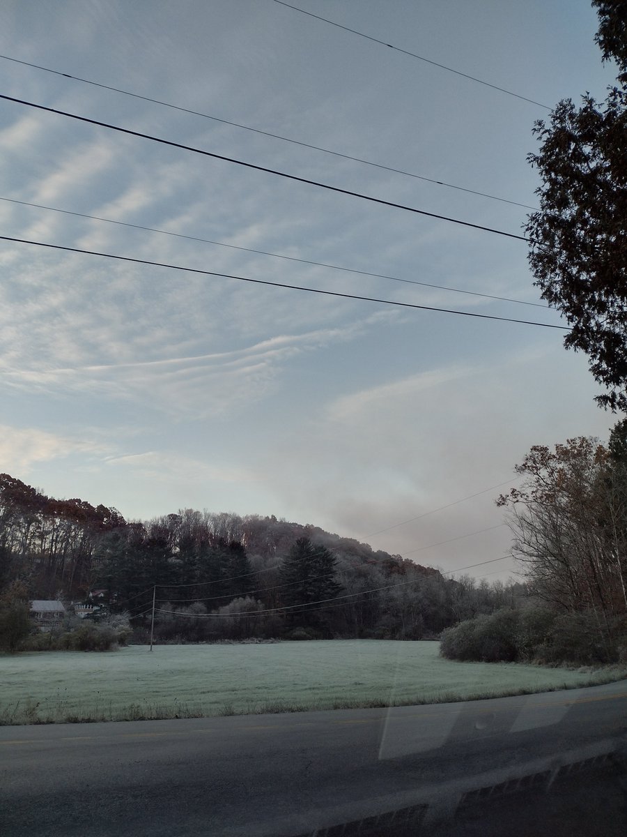
#EAS431 A beautiful morning was seen across southwestern Pennsylvania as temperatures dropped below freezing overnight, creating a thick frost and freezing fog for some locations.
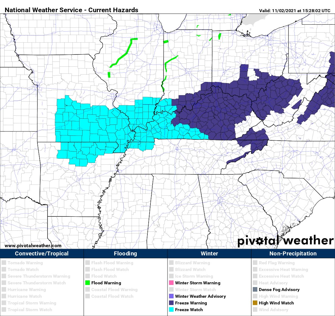
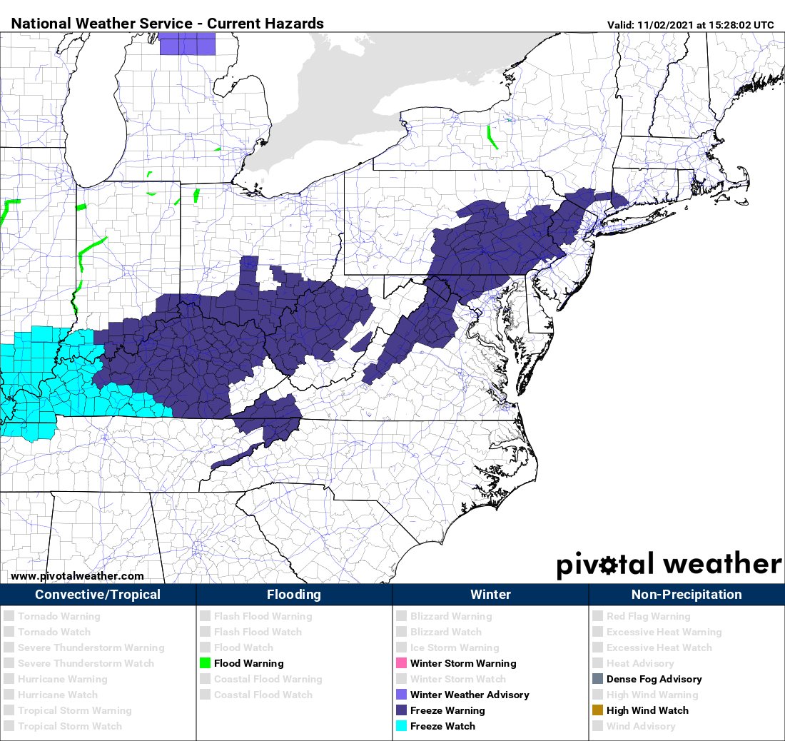
#EAS431 A push of cold air associated with a broad upper trouigh will bring freezing temperatures to parts of the Central and Eastern States on Tuesday and Wednesday night. Freeze Watches and Warnings are in effect for many locations.