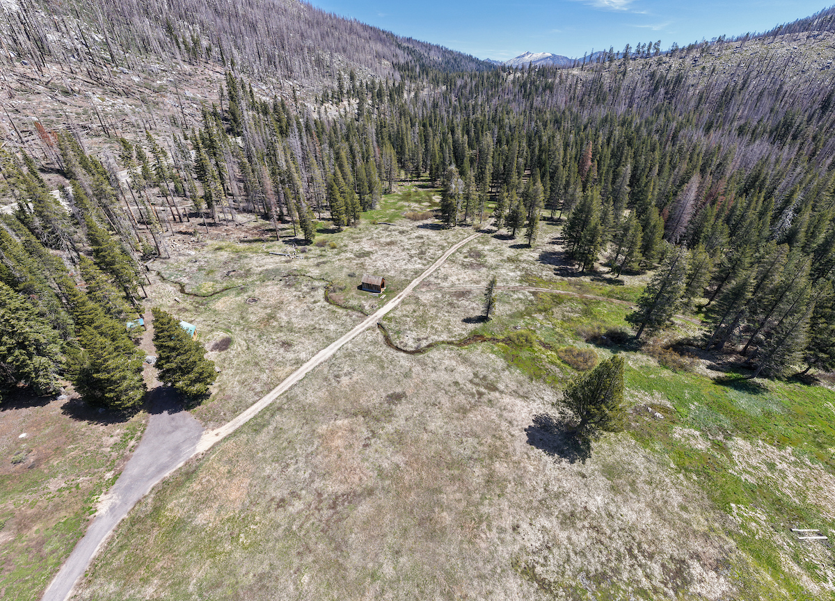
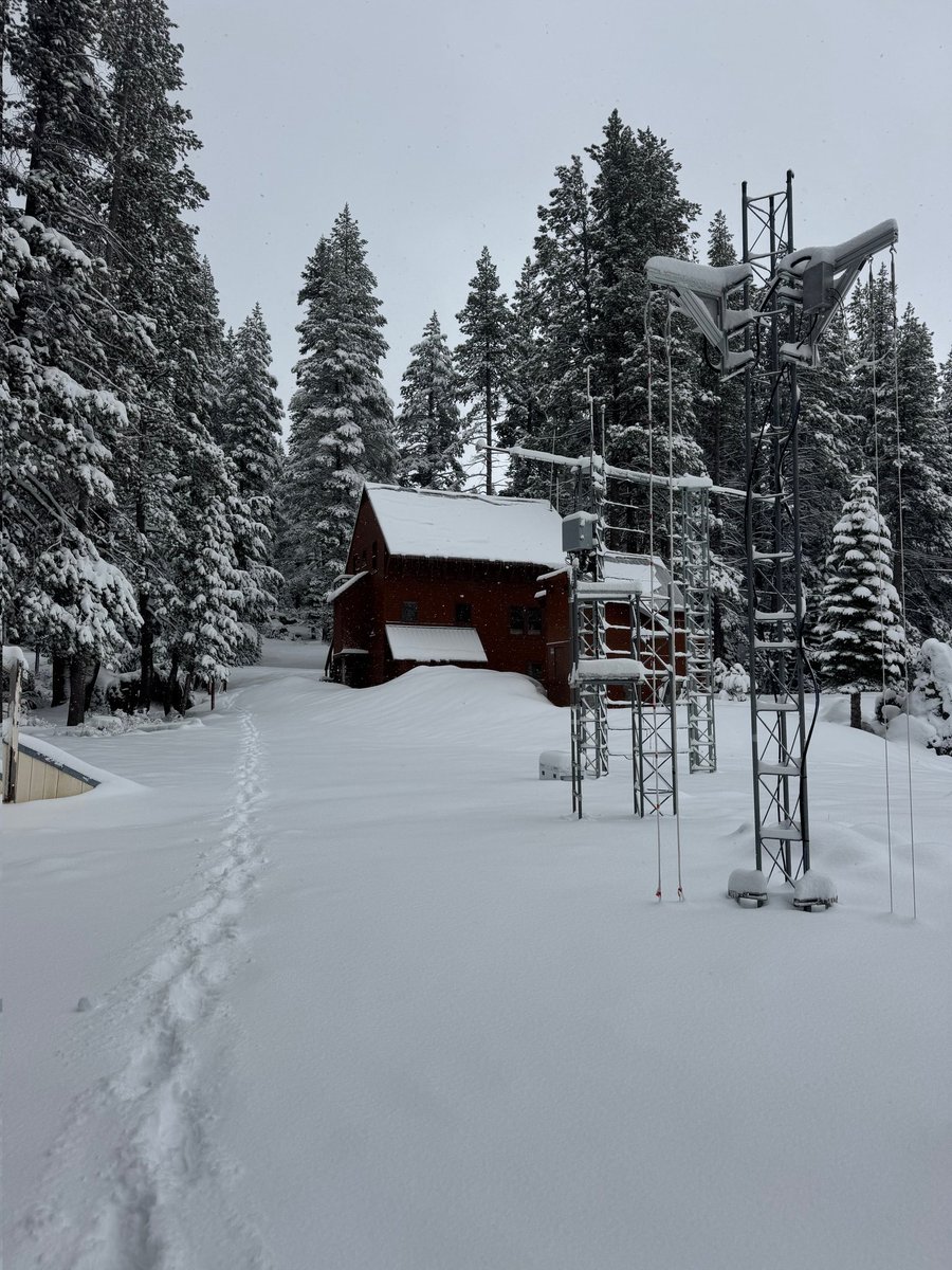
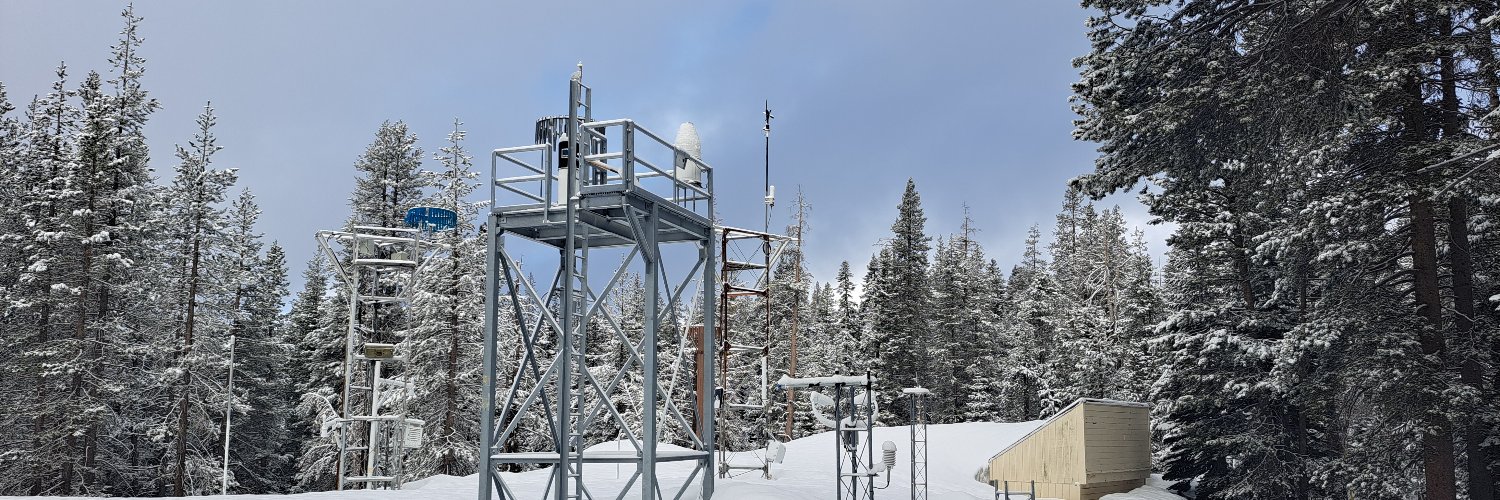
The CSSL is a research station of UC Berkeley specializing in snow physics, snow hydrology, meteorology, and climatology. The lab is at an elevation of 6894 ft.
Despite some snow showers in April, California’s snowpack remains low, at just 21 percent of average for May 1. Just like one month ago when members of DWR’s Snow Surveys and Water Supply Forecasting Unit recorded the second lowest April 1 measurement on record for this location, the survey site at Phillips was bare ground today. Although April storm activity has helped mountain watersheds retain some moisture, this year’s snowpack still peaked back in February – over a month earlier than average. Snowmelt runoff for this spring and summer is still forecasted to be far below normal.
#California #SnowSurvey
4/22/26 10:30am Update:
🌎 HAPPY EARTH DAY! 🌏
We have 8.3" (21 cm) of new #snow this morning and 11.8" (30 cm) total from this storm. We're expecting another 1-2" today.
Our next chance at some snow is this weekend.
#weather#CAwater
4/21/26 9:30am Update:
#Snow began early this morning and we've accumulated 3.5" (9 cm). We are expecting 1-2 feet total from this storm.
Right now we have moderate to heavy snowfall rates with low winds but speeds are expected to increase this afternoon.
#weather#CAwater
4/13/26 9:45am Update:
1-day ❄️: 21.1" (20 cm)
2-day ❄️: 34.6" (34.5 cm)
3-day ❄️: 42.5" (53.5 cm)
This has been great to create a late-season snowpack. Unfortunately, record warm temps this winter means that we're still well below average for the water year.
#CAwater#weather
@HuricaneRick@IZSAKCANADA April 1 is the most important measurement because it coincides with peak snowpack - except for this year. Data doesn't stop on April 1, we keep recording at hundreds of sites around California (thousands across the western US) until the snow is gone - often well into June or July
4/12/26 9:35am Update:
Heavy #snow started yesterday evening and continued into the night, bringing 13.6" (34.5 cm). That brings our 2-day snow total to 21.5" (54.5 cm).
Snowfall and low visibility are still present and we're expecting another 5-10" by tomorrow.
#weather#CAwx
@RobertDolezal It never is! We collect data and make forecasts through May, June, or even July depending on the year. These types of late seasons storms are common for us. We even had our snowiest day of the season in May a couple of years ago with more than two feet!
4/11/26 9:45am Update:
We received 7.9" (20 cm) of wet, dense #snow over the last day.
Our next storm, shown coming on shore in the GOES-West weather satellite imagery, will bring colder temps and more snow (18-36") to us this evening through Sunday.
#weather#CAwater
3/10/26 2:50pm Update:
Cooler temps moving in means we're seeing rain change to #snow a bit earlier than expected.
The biggest benefit of switching earlier is that it'll cool the ground surface, enabling more snow to stick early on and bigger accumulations.
#weather#CAwx
3/10/26 2:50pm Update:
Cooler temps moving in means we're seeing rain change to #snow a bit earlier than expected.
The biggest benefit of switching earlier is that it'll cool the ground surface, enabling more snow to stick early on and bigger accumulations.
#weather#CAwx
4/8/2026 3:35pm Update:
Winter isn't over yet! Although we're expecting rain over the next couple of days, colder temps will move in this weekend and it will change to #snow.
There's currently some good agreement between models with current Fri-Sun totals around 18-24".
#CAwx
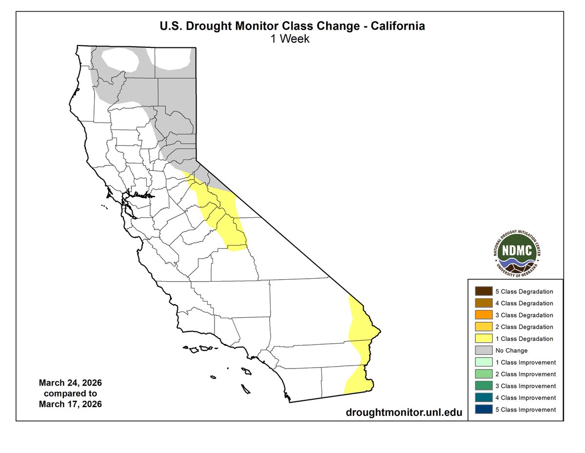
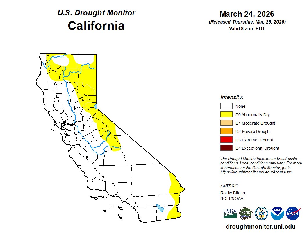
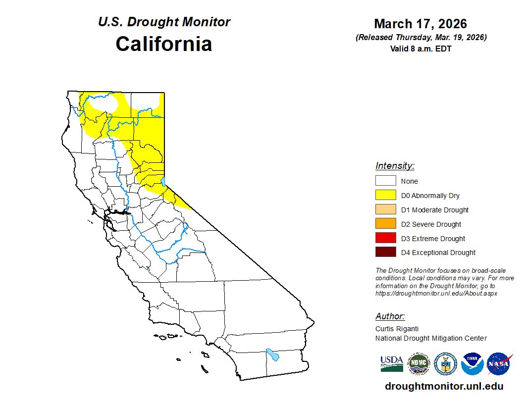
Unsurprisingly “abnormally dry” conditions expanded in California this week. Next week’s rain, mountain snow and cooler temps should apply the brakes on the rapid March dry out / melt out. #CAwx 3/26/2026