Please join us for an informative webinar series to help local governments (and their contractors) learn ways to overcome the anxiety associated with using technology on 1/28, 1/30, and 2/01: https://t.co/KnV0UrzEo3
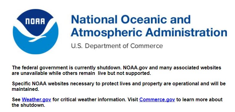
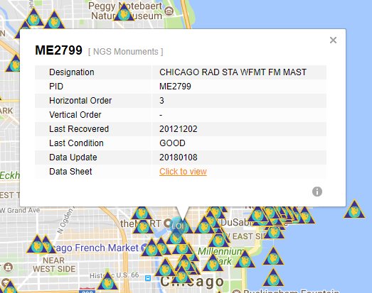
Can't access NGS Monument information due to the #GovernmentShutdown? Use uFIND to search monuments by location, then view or download full datasheets for free:
https://t.co/QdfVzPPYMD
Using data from @ChicagoDOT we created a map examining the relationship between Chicago's bike lanes and bike racks with ward boundaries. @activetrans
https://t.co/ma4IENqu69
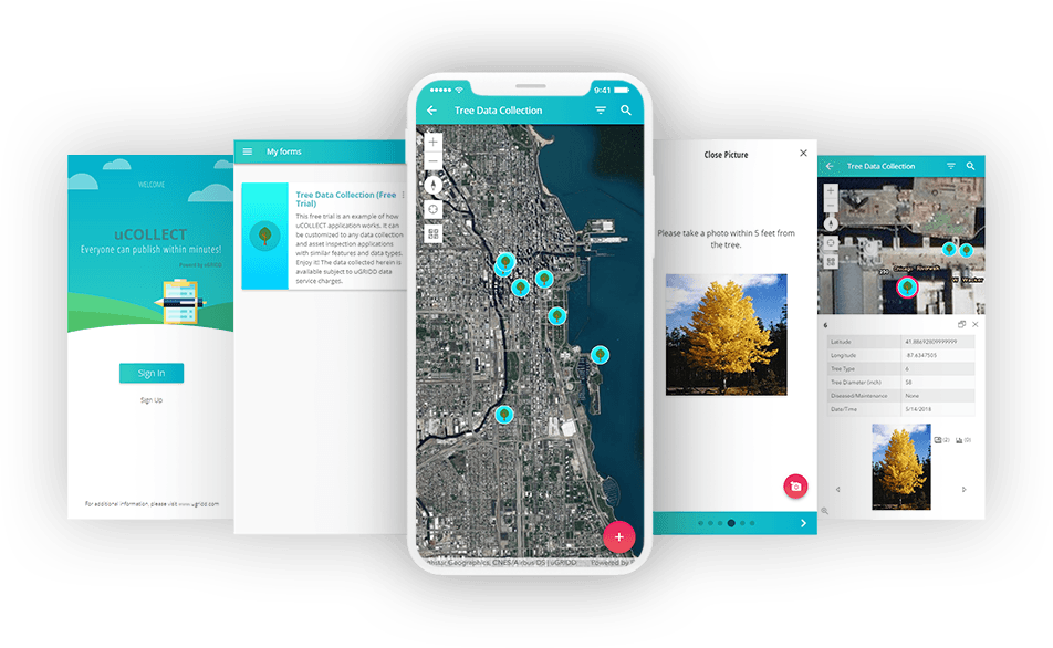
Congratulations to @AssessorCook for being sworn in today. We would love to help you improve operations with a cloud-based data management system and our smartphone data collection application.
With winter fast approaching, local governments are preparing for pothole season! With shrinking budgets, the ability to keep roads in good condition continues to be a challenge. Let our free Pothole Tracker help you respond to service requests: https://t.co/uDg1neoXLP
This week we’ll be helping Wisconsin municipalities use data to make better decisions at @LeagueWIMunis - Come visit us at booth #2 to learn about https://t.co/FcVWBYG2an #LWM2018