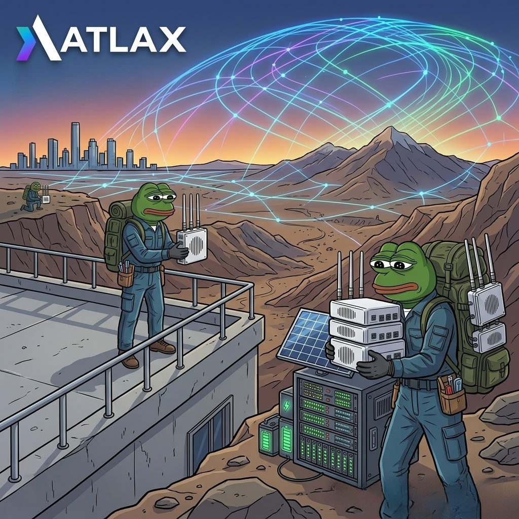
You can't stop evolution. Sooner or later you will adapt, either by force or by acceptance. It has always been like this. It will be like this again. #cryptocurrency#AltcoinSeason#Bitcoin
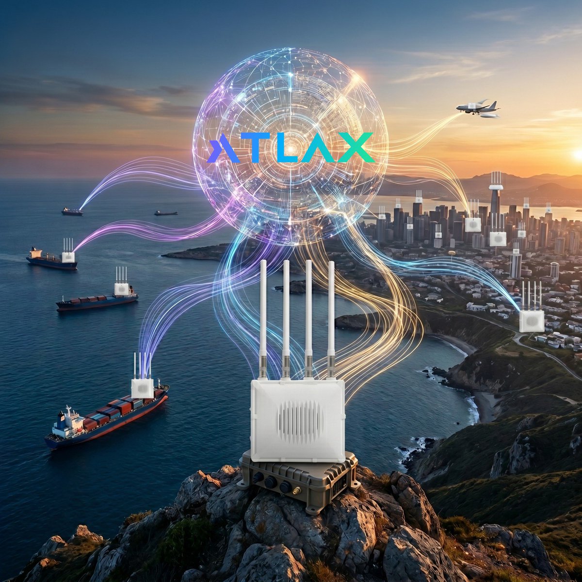
In logistics, data often lives on isolated islands. Maritime (AIS), aviation (ADS-B), and land sensors (LoRaWAN) speak different languages. 🚢✈️📡
At Atlax, we bridge these gaps. We don’t just collect data; we synchronize it into a single, unified intelligence symphony. 🎼 Turning invisible signals into global visibility. 🕸️🌍✨
#DePIN #AtlaxNetwork #SupplyChain #DataIntelligence #Tech #IoT
Mapping the world in real-time. 📡✈️🚢
From the heights of the sky to the deep blue sea, our telemetry nodes are the backbone of a new era in connectivity. Rugged, reliable, and ready for the future.
The network is growing. The data is flowing. 🚀
#Tech#Connectivity#Future #Innovation #IoT
Anthropic’te çalışan bir AI mühendisi 14 dakikalık bir rehber yayınladı.
AI ajanlarının nasıl kurulduğunu ve bununla nasıl gelir üretileceğini adım adım anlatıyor.
Uzun video yok, laf kalabalığı yok.
📡 Raw signals are only the beginning.
AIS and ADS-B data become truly valuable when they are cleaned, structured, and turned into usable intelligence that supports real decisions.
Our latest blog explores the shift from visibility to understanding.
https://t.co/OxBXT7RhCz
#Atlax #AIS #ADSB #LocationIntelligence #MobilityData #MaritimeData #AviationData
🌍 Terrestrial coverage and satellite coverage solve different problems.
📡 Terrestrial networks are usually cheaper, more frequent, and more efficient where devices can actually be deployed.
🛰️ Satellite tracking becomes necessary in places where terrestrial coverage is limited or impossible, such as oceans, polar regions, deserts, and other remote areas.
💰 That also means satellite-based tracking is usually more expensive and less frequent than strong terrestrial coverage.
⚖️ In practice, the best systems are built by knowing where terrestrial coverage is enough and where satellite coverage becomes unavoidable.
#AIS #ADSB #Satellite #TerrestrialCoverage #MaritimeData #AviationData #LocationIntelligence #Atlax
AIS, ADS-B, and LoRaWAN each solve a different part of the visibility problem. AIS helps track vessel movements at sea, ADS-B provides real-time aircraft position data in the air, and LoRaWAN enables low-power, long-range connectivity for assets and sensors on land.
Together, these layers create a stronger foundation for real-world location intelligence; helping companies move beyond isolated signals and toward clearer, more connected operational insight.
#AIS #ADSB #LoRaWAN #LocationIntelligence #MobilityData #MaritimeData #AviationData #Logistics #Atlax
The next generation of infrastructure should be more open, more useful, and more fairly aligned with the people who help build it.
At Atlax, that’s exactly the future we’re building toward - a more connected, transparent, and usable layer of mobility data across air, sea, and land.
#Atlax #LocationIntelligence #MobilityData #DataInfrastructure #AIS #ADSB #LoRaWAN
Ülkemizde yeni gelişen bir piyasa olan #Kripto piyasasında uluslararası yatırımcı çekmek için kanuni düzenlemeler yatırımcı dostu olmalıdır.
#KriptoVergiyeHayır#altın
Ben desteğimi verdim. Siz de destek verirseniz, şu tagı paylaşırsanız 15dakikaya tt’ye girer : #kriptodavergiyehayır
En azından topluluğun sesi duyurulur. Sevgiler. Saygılar.
We’re building Atlax with a simple belief:
The next generation of mobility data infrastructure should be more usable, more transparent, and built with people who actually understand the problem.
This is not just about tracking.
It’s about building a stronger layer of air, sea, and land location intelligence together.
Our latest blog is about the vision we’re starting with
and how we believe it can be built the right way.
https://t.co/D2PA2S2gxF
#Atlax #LocationIntelligence #MobilityData #AIS #ADSB #LoRaWAN #MaritimeData #AviationData #Logistics #Infrastructure
⚓ As war-driven tensions reshape the Gulf, the Strait of Hormuz has become more than a maritime passage. It is now one of the world’s most critical real-time data corridors. When attacks increase, routes change, ships slow down, destinations shift, and traffic patterns break from normal behavior, AIS data becomes essential for understanding what is really happening at sea. 🌍����
🚨 In moments like this, raw ship signals are not just about vessel tracking. They are about risk visibility, operational awareness, and decision-making. For logistics teams, energy markets, insurers, analysts, and maritime operators, clean and reliable AIS data from Hormuz is critical to monitor disruptions, detect anomalies, and understand how global trade flows are changing in real time.
🔎 At Atlax, we believe maritime intelligence matters most when raw AIS signals are cleaned, structured, and turned into decision-grade data. In high-risk corridors like Hormuz, visibility is not optional. It is essential.
#AIS #StraitOfHormuz #MaritimeIntelligence #Shipping #Logistics #Energy #LocationIntelligence #Atlax
One network. Three dimensions. Endless data.
Atlax is decentralizing how we track the world’s movement across air, land, and sea.
Don't just watch the future help build it.
Follow us for more updates. 📈
#Atlax#Crypto#DePIN#Innovation