State of Utah Cadastral Surveyor, TURNGPS and NevadaGPS Network Administrator, National Geodetic Survey State Coordinator for Utah,
PLSS Coordinator in Utah.
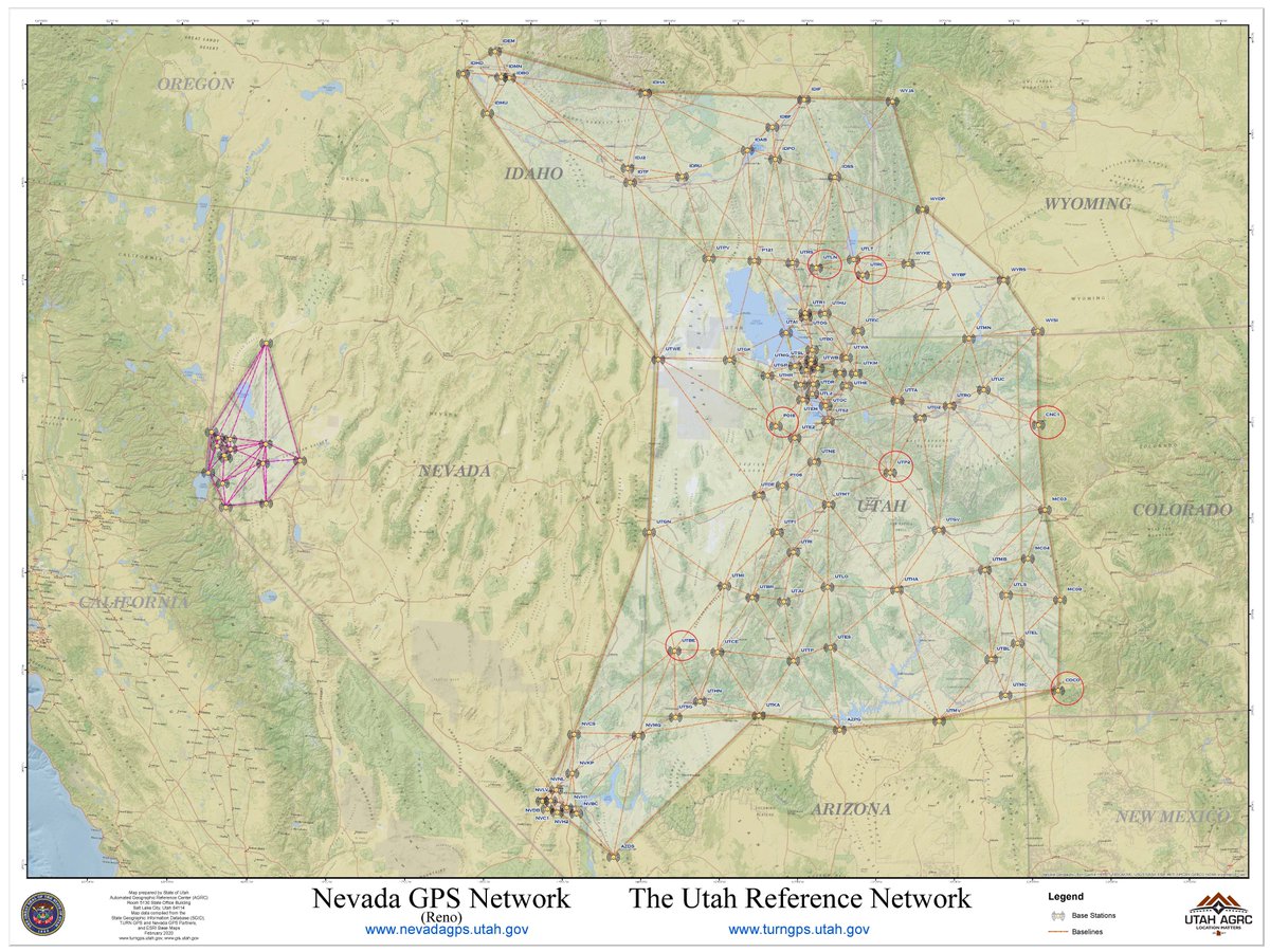
The new NAD83 (2011) coordinates for the 12 stations that currently make up the NevadaGPS network were processed using OPUS Projects and constraining 10 CORS stations as shown on this map.
The coordinate frame for the NevadaGPS network will be updated on April 1, 2020 from NAD83/94 HARN to NAD83 (2011) as shown on this chart. These new positions were determined using 24 hour files from January 1, 2020 and processed using OPUS Projects.
The coordinates of the 7 stations circled in red on this map will be updated on April 1st. If you have a project tied to any of these station please recollect positions on all project control and re-calibrate using your existing project coordinates.
The coordinates of these 7 GPS stations will be updated on April 1st because they have exceeded the 2.5 cm variance limit as shown on this chart. These new positions were determined using 24 hour files from January 1, 2020 and processed using OPUS Projects.
The Utah Reference Network Global Positioning System (TURN GPS) provides real-time high precision centimeter positioning. Some reference station within the network move slightly over time due to earth crustal displacement and the positions must be updated periodically.
Hallie Fernandez scores a great goal today to help her amazing team Utah Celtic FC defeat Michigan at the 2019 US Youth Soccer National Championships | Overland Park, Kansas @ Overland Park, Kansas https://t.co/ZDHO0p097o
I fully support the Utah DWR displaying the Utah Poachers Wall of Shame at The Big Outdoor Expo at Utah Valley University. #stoppoaching#hunting#hushin#camhanes#solohunter @ UCCU Center https://t.co/7CtZWXux0r