Virtual War History presents INTERACTIVE BATTLEFIELD MAPS that provide you with a remarkable new way to 'Imagine Being There'. Visit the #VWH website to view free maps and discover a new dimension to military history! https://t.co/DJCu9tbJAV
A reenactment of the daring Waal River crossing by the 82nd Airborne Division is shown on the Interactive Battlefield Map. A diverse range of attractive multimedia at your fingertips, helps you to imagine the battle like never before. @HistoryHit
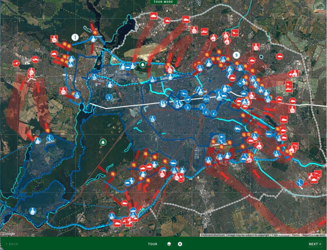
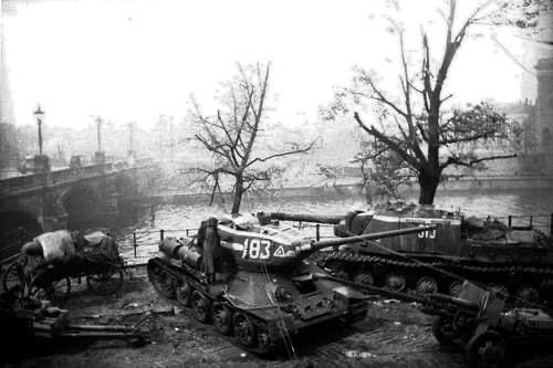
#VWH provides a virtual battlefield experience at the Seelow Heights: Soviet T-34s penetrated defences and advanced up the heights, but were blocked at the railway. Six Tiger IIs counterattacked and claimed eleven kills, although the heights couldn’t be held for much longer.
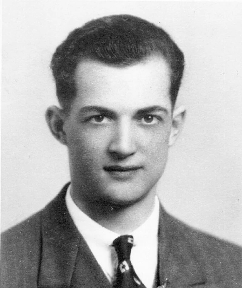
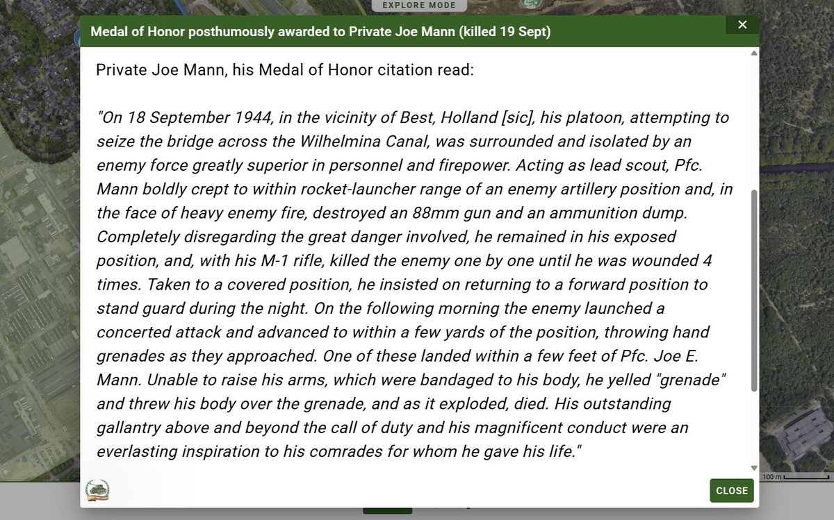
Locate where Pfc Joe Mann, 101st Airborne Division, fought to the death attempting to seize the Bridge at Best. #VWH helps you to Imagine the Battle. Mann was posthumously awarded the Medal of Honor, and his memorial can be seen nearby. @WW2HQ
See on the #VWH map 2 Para's attempt to rush a bunker protecting the bridge at Arnhem, only to be repulsed by machine gun fire. Lt Grayburn earned a posthumous VC for this and similar actions. The bunker was soon destroyed by flamethrower, but the entire bridge was never captured
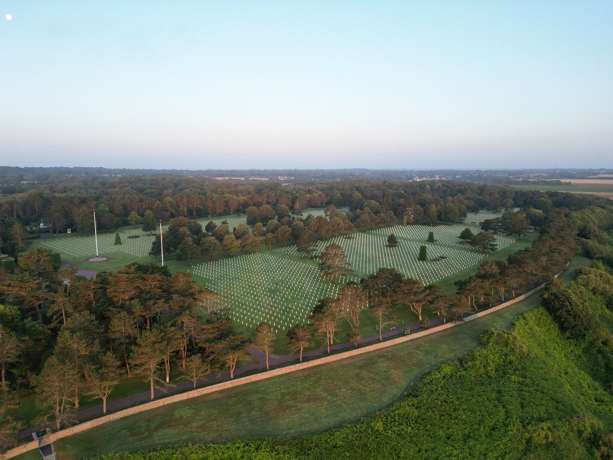
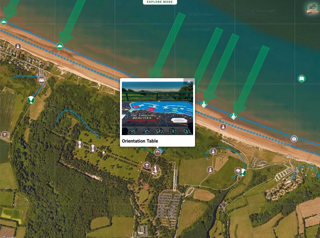
Omaha Beach is renown for high casualties but how and WHERE did the USA defeat the Germans? #VWH shows 4 breakouts that you can trace on the ground. Follow SGT Streczyk's assault on a MG position and clearance of the high ground along the modern @usabmc cemetery, earning the MM.
The Soviet 79th Rifle Corps made several, costly attempts to assault across the Moltke Bridge - the last obstacle before the Reichstag. Imagine being there with the #VWH interactive battlefield map that shows historic and modern photos and charts the final battle @jesse_history
Visualise on your Google Map how the 82nd Airborne Division dropped next to the Grave Bridge over the Maas River. The paratroopers quickly overcame the surprised bridge guards within their pillboxes, and seized this initial objective of Operation MARKET GARDEN. @ww2headquarters
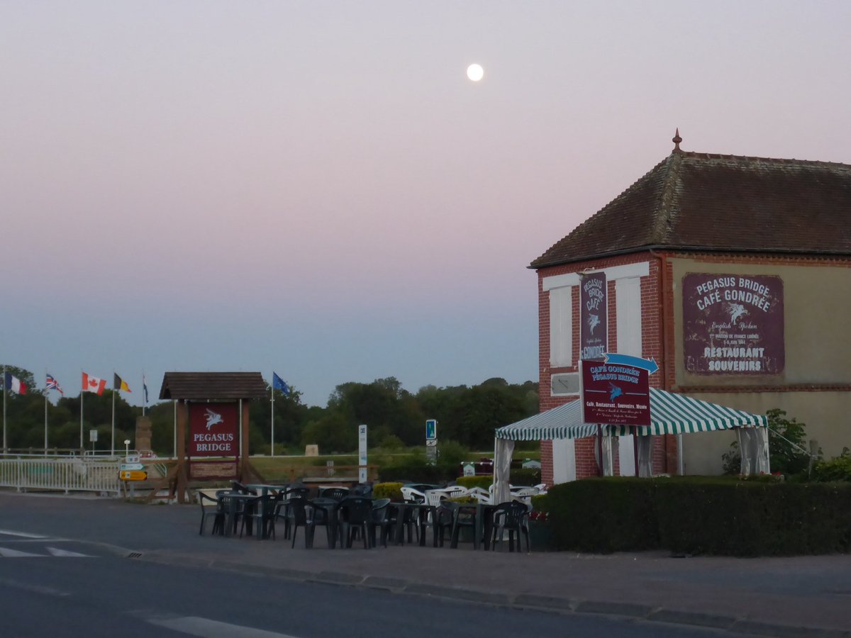
Pegasus Bridge was held against German attacks frm land, air and sea. #VWH maps the A Coy front lines, details fighting around the church and shows modern-day remnants of the fighting. Anyone can find the bridge - now you can understand the battle. @robert_lyman@militaryhistori
Sources are widely incorporated during map construction, aggregated into a concise narrative, then plotted to display the story on the ground. Although much information exists online (with more on library shelves); #VWH accumulates all references, summarised in a single spot.
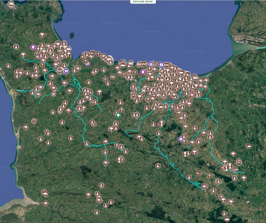
Weapons that played a key role in the battle - and their modern location - are marked on the map alongside other monuments. #VWH integrates all relevant battlefield information into a single source, giving you the control to view interactive detail according to personal interest
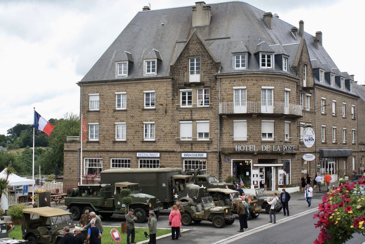
Visitor Tips are provided for battlefield explorers who need expert, on the ground knowledge of: hotels, restaurants, cafes and bars. Details of commemorative activies are provided. Vantage points also appear on the map, so that you don't have to search for the best spot! #VWH
Navigation Tools allow the battlefield visitor to easily identify and move to that location using a dedicated navigation button and Google Maps. Know where you are at all times with the 'blue dot'. Once in centre of the action, orientate using #VWH designated reference points.
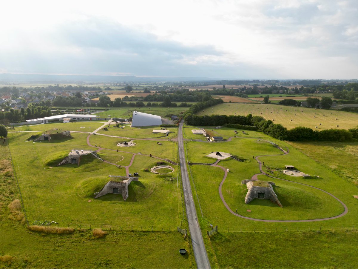
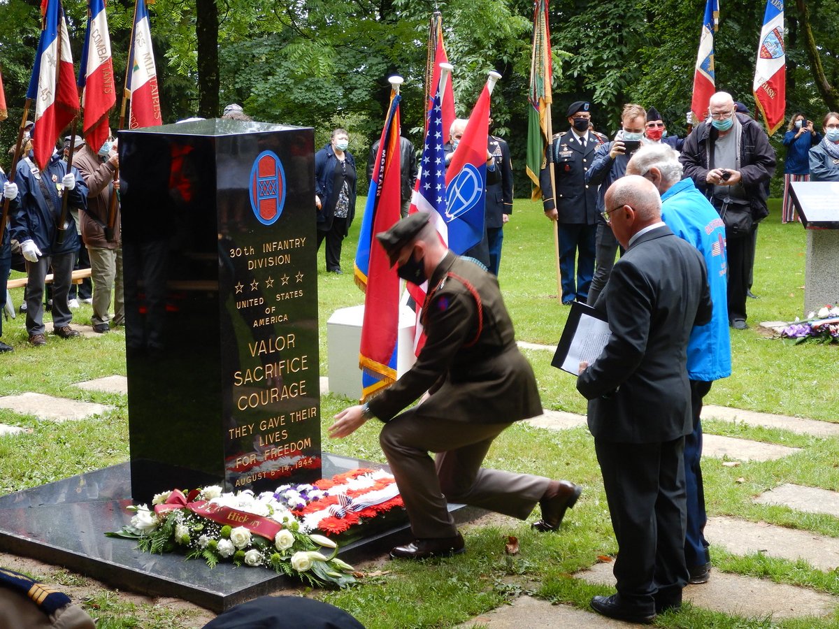
Monuments, Museums & War Cemeteries are all geolocated and the layer can be switched on to show them in the CONTEXT of battle - where #MOH were earned or the Norfolks being mauled by MG fire from Hillman - the monument location now makes sense!
Brotheridge - the casualty of #DDay
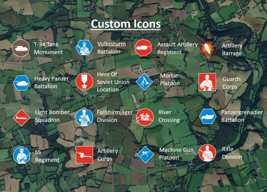
Custom icons identify WHO was involved in the action using intuitive images (based upon real weapons) and a bespoke system of national colour-codes and shapes to display unit size information. #VWH developed this system as a direct alternative to over-complicated military symbols
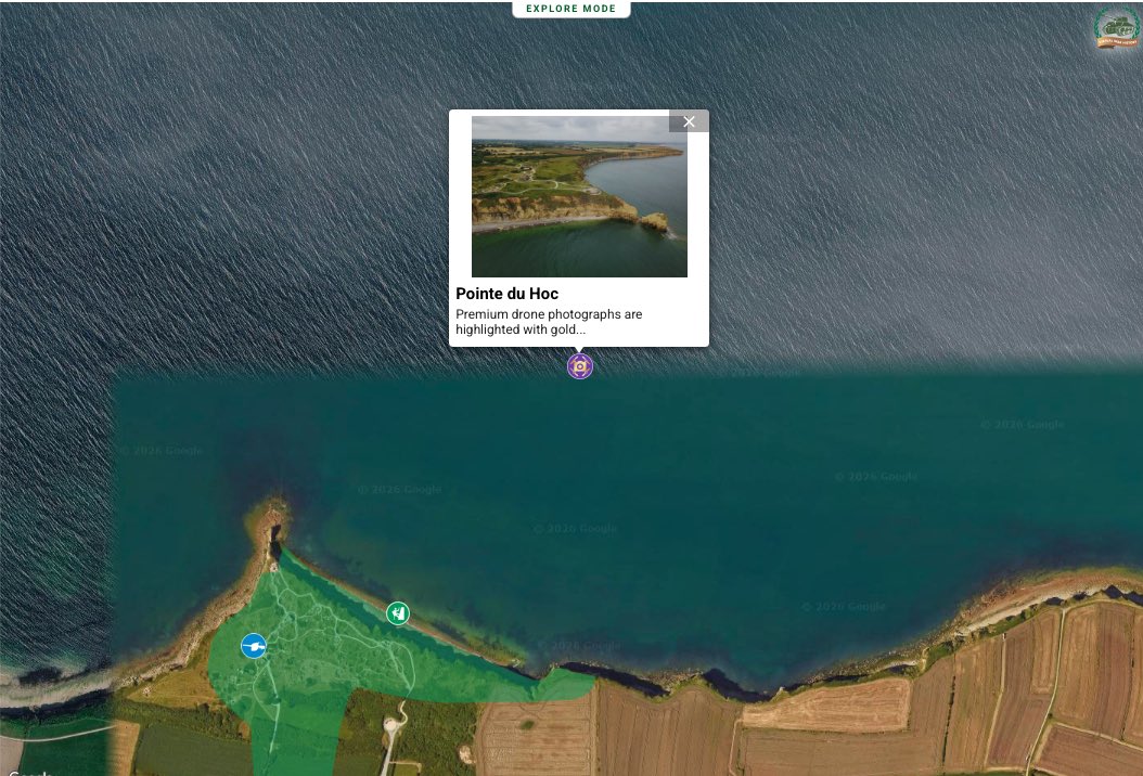
#VWH is multimedia and interactive. Switch on layers to find a wealth of content that is geolocated and constantly updated. These include YouTube videos, photographs and drone footage. Find everything in the one spot on #VWH.