If you haven't read the @NWStulsa survey's from last weekends tornado outbreak, here you go https://t.co/c3GmQes0AY At least four of the tornadoes were over a mile wide, with two nearly two miles wide. #okwx#arwx
More than 15,000 power outages are reported after Oklahoma storms, including 6,122 in Rogers, 3,724 in Mayes, 1,171 in Delaware and 219 in Osage county. #okwx
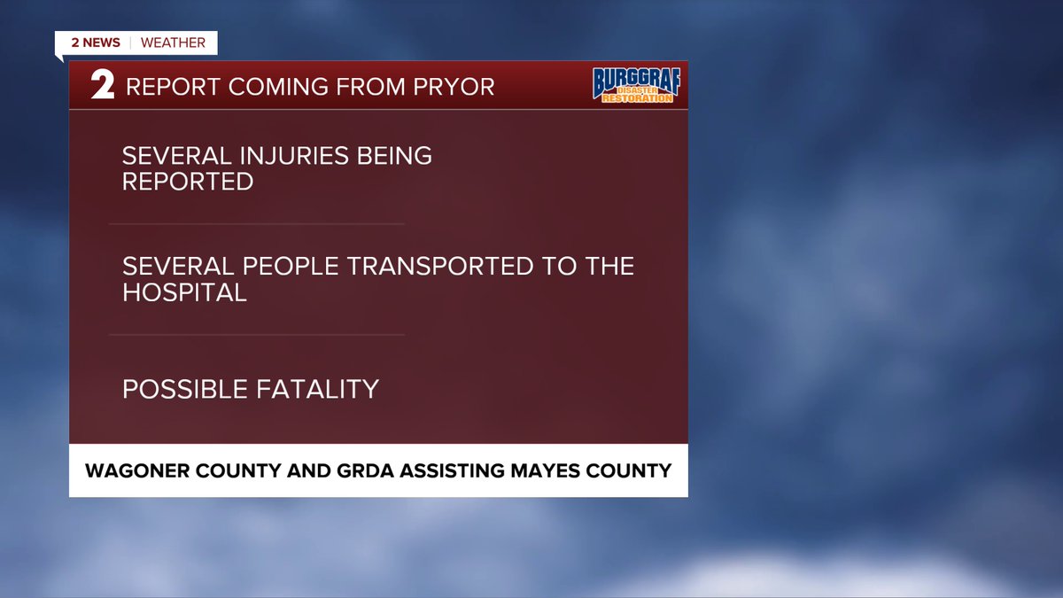
Horrible situation as Memorial Day campers at the KOA campground east of Claremore was hit by a tornado. Multiple entrapments and rescues ongoing. #okwx
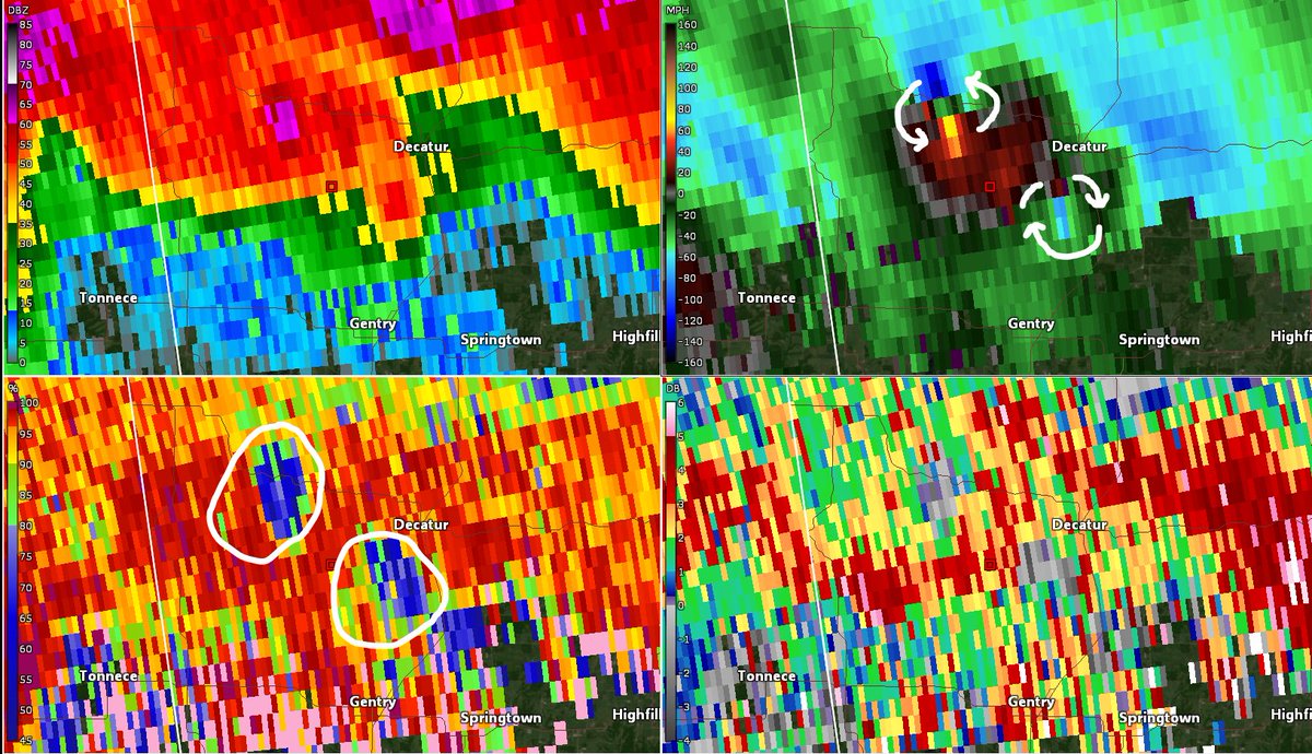
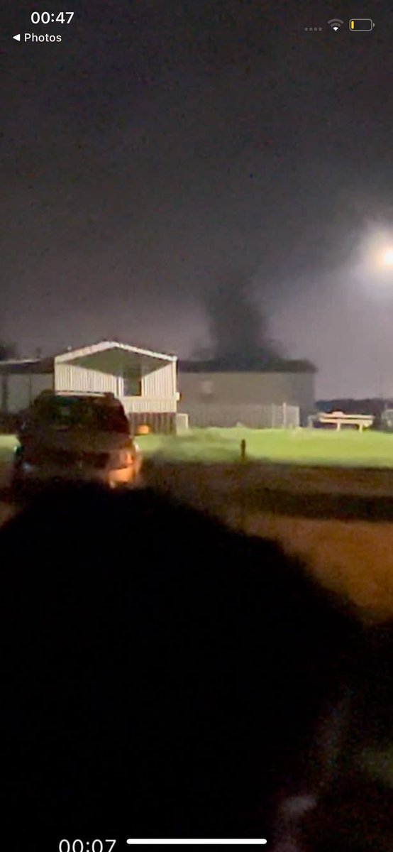
Just a bit earlier at 1:11am, twin tornadoes lofting debris near Decatur, AR, one cyclonic (swirling counter-clockwise), the other, anti-cyclonic (swirling clockwise). Both lofted debris into the radar signal #arwx#wxtwitter
🚨🌪️#PDSTornadoWarning#Oklahoma
PARTICULARLY DANGEROUS SITUATION
Damaging tornado on ground
TAKE COVER NOW
⬇️ lowest floor interior space
🚫windows 🚫exterior walls
Once in a safe space protect head⛑️
then ✅ other sources & contact others📱
#OKwx#tornado
⚠️EXPIRES 12:15 AM CDT
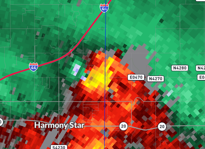
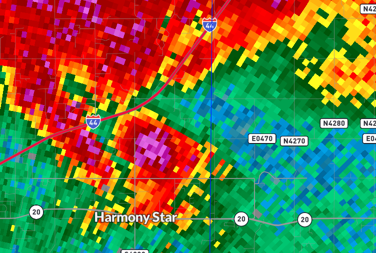
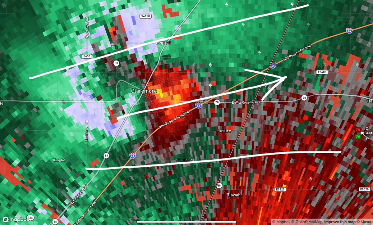
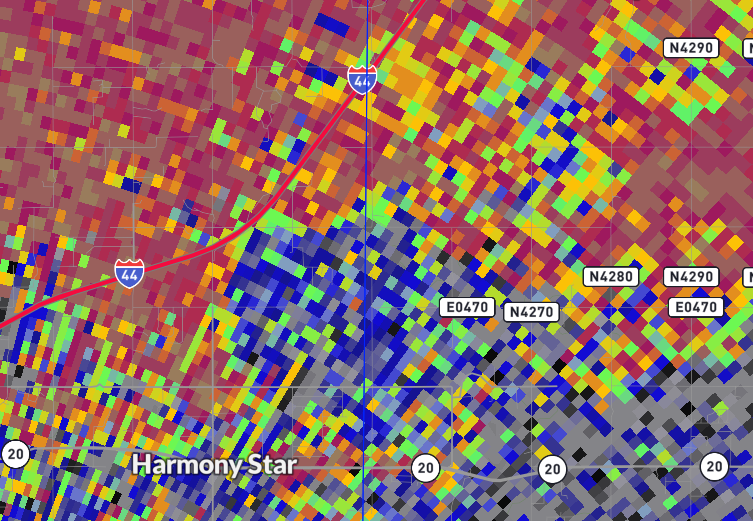
11:30CT: Tornado moving through Claremore, Oklahoma and is now approaching I-44 at E Will Rogers Blvd. This #tornado will continue along OK-20 toward Pryor Creek.
Seek shelter throughout the warned area in the lowest level, interior room with a helmet and tennis shoes. #okwx
@WRWilbanks * Tornado Warning for...
Southwestern Rogers County in northeastern Oklahoma...
Southeastern Osage County in northeastern Oklahoma...
Southern Washington County in northeastern Oklahoma...
Northwestern Wagoner County in northeastern Oklahoma...
Northeastern Tulsa County
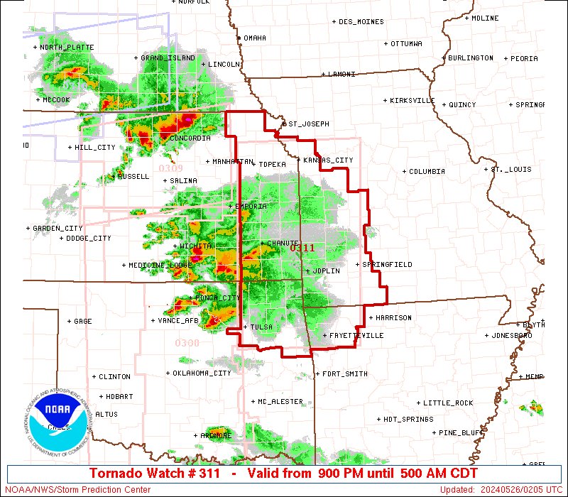
[Update: 7:30 pm 5/25/24] Severe Weather threat rapidly INCREASING across NE and SE #OKwx. Severe T-Storms approaching the area with all hazards possible including tornadoes and large hail.
[8:15 AM 5/25/24] Severe weather is forecast to spread into portions of E OK this evening with severe potential continuing eastward into the overnight hours. Reminder to have multiple ways to receive weather information especially any severe weather watches and warnings.







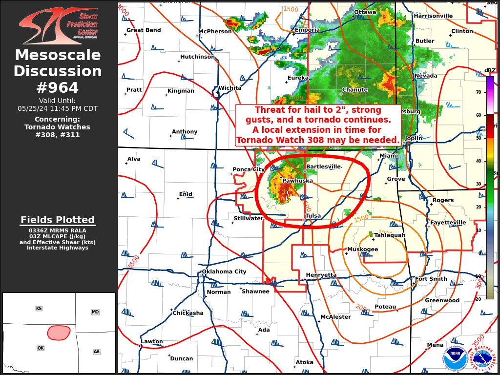
![NWStulsa's tweet photo. [8:15 AM 5/25/24] Severe weather is forecast to spread into portions of E OK this evening with severe potential continuing eastward into the overnight hours. Reminder to have multiple ways to receive weather information especially any severe weather watches and warnings. https://t.co/a9wNA20Q04](https://pbs.twimg.com/media/GObVy6xaAAAsW53.jpg)


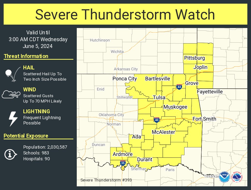
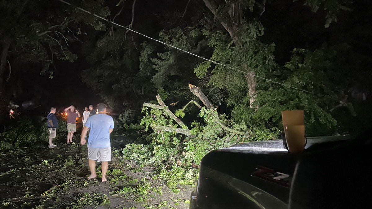
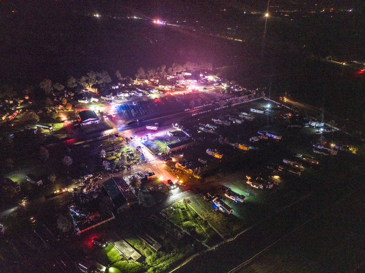
![NWStulsa's tweet photo. [8:15 AM 5/25/24] Severe weather is forecast to spread into portions of E OK this evening with severe potential continuing eastward into the overnight hours. Reminder to have multiple ways to receive weather information especially any severe weather watches and warnings. https://t.co/a9wNA20Q04](https://pbs.twimg.com/media/GObV_bxbMAAlwK_.jpg)