The Hill City Howlers are home tonight with a first pitch time of 6:30PM. The Salem RidgeYaks are also home their first pitch is at 6:35PM. Temperatures at first pitch will be in the lower 80s dropping into the 70s throughout the games.
A merger could lead to a new power company serving approximately 10 million utility customer accounts across Virginia, North Carolina and South Carolina, and Florida: https://t.co/6YNNVnXqYh
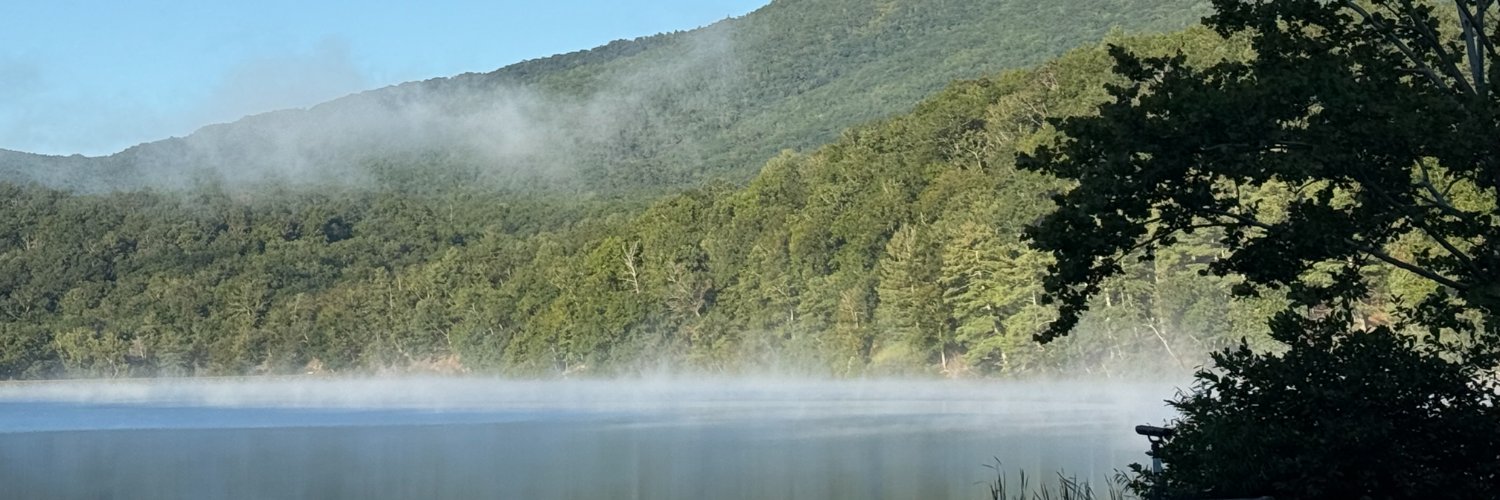
We've issued a First Alert Weather Day for your Friday morning. Rain and dense fog could impact visibility during your morning commute. We'll be clearing up by the early afternoon, but be sure to pack your patience and take it slow as you head into the office tomorrow morning!
Very cold air lingers into the overnight with lows falling into the teens for most hometowns. Light snow develops Friday over the New River Valley and spreads east Friday evening. The highest impacts from snow will be over the NRV & toward the NC border.
Winter Storm Update #1: Snow will move in tomorrow afternoon, transitioning to sleet overnight tomorrow night into Sunday morning, transitioning to freezing rain for most late Sunday evening, before moving completely out of the area Sunday night.
A few quick bursts of snow are possible into the mid afternoon. Visibility can quickly fall to under a quarter mile or less. Use extreme caution if you must be out. A gusty wind will continue into the evening. Quieter & warmer weather returns Tuesday.
WELCOME @DaveWallsTV as WDBJ7's new sports director! We'll introduce him on 7atfour today and he'll be on set at 6 talking about Virginia Tech basketball!
Clouds linger much of Monday, with some sunny breaks late & highs in the 40s & 50s. Much warmer air kicks in Tuesday through Saturday with most hometowns in the 60s. Some sun Tuesday, Wednesday & Thursday will give way to shower chances Friday & Saturday.
Mostly clear with calmer wind overnight. Sun will give way to clouds Friday with warmer highs in the 40s & 50s. A few showers are possible Saturday, with drier and cool air Sunday into Monday. More warmth returns later next week with 50s & 60s possible.
Despite mostly sunny skies, cold air lingers Tuesday afternoon with a lighter breeze. Cold & clear overnight, but turning a bit warmer on Wednesday with 40s & 50s for most hometowns. Dry conditions are expected into the weekend, with no cold air in sight.
The wind will gradually subside into Tuesday afternoon. Combined with the cold, wind chill values will be frigid this morning. Below zero values over the ridgetops of the New River Valley & single digits & teens elsewhere. Milder air arrives Wednesday.
A gusty wind will continue tonight, with speeds ranging from 30-50 mph, the highest occurring over ridgetops. Very cold wind chills Tuesday morning, with values below zero over the ridgetops to the single digits & teens near and east of the Blue Ridge.
The highest wind speeds will be from mid-evening into the pre-dawn hours on Tuesday. Gusts of 40-50 mph will be possible, with gusts over 50 on the ridgetops. Much colder air tonight will create single digit wind chills. Warmer air arrives Thursday.
A strong wind will peak Monday evening into Monday night. Wind gusts over 45 mph are possible in the valley's with gusts over 55 mph possible on ridgetops. Much colder air will create wind chills in the single digits & teens overnight. Warmer by Thursday.
A cold front will approach our hometowns Monday with an early shower. The wind will increase from the afternoon into Tuesday morning and bring scattered power outages to the mountains. Much colder air with wind chills in the single digits & teens Tuesday.