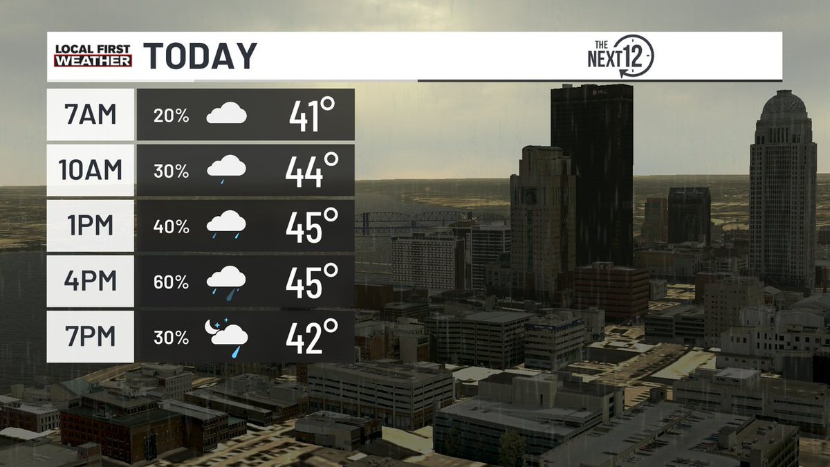
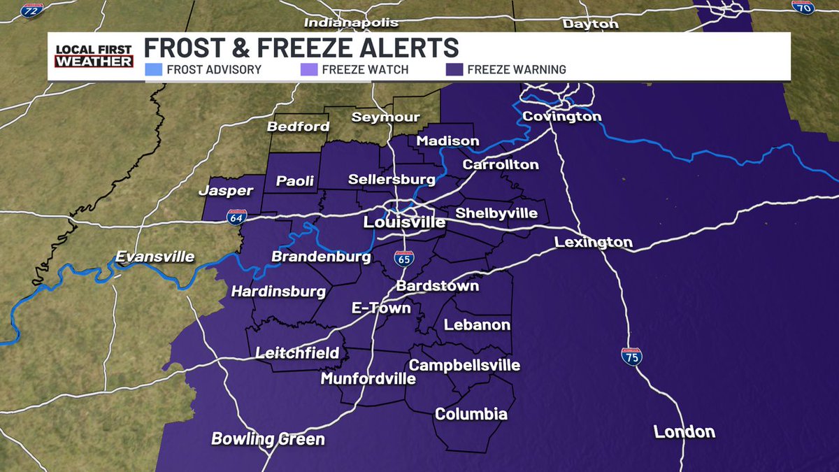
Chilly and cloudy today with highs in the 40s; expect wind chills in the 30s. Scattered showers will move through the region today; graupel (soft ice pellets) and snowflakes may mix in with the rain at times.
We're watching for fog potential on Saturday morning, and because of the temperature, some of it could be freezing fog. Download the WDRB+WAVE Weather App to Watch.
[1:14PM] Getting ice pellet and hail reports northeast of Louisville. This is likely a mix of small hail and graupel (snow pellets) as there is some instability with the colder air aloft.
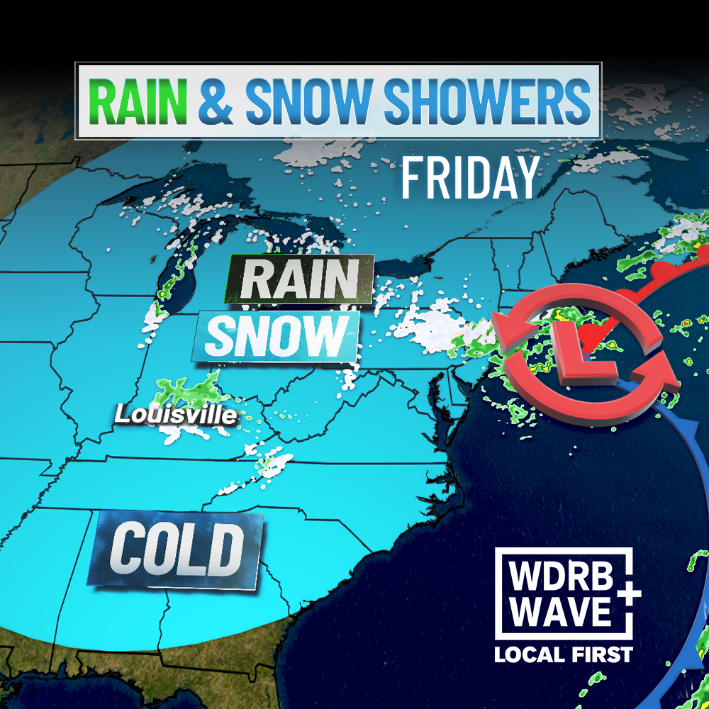
Showers will push through our area this afternoon, and another round is slated for Friday. But what about our snowflake chances? Download the WDRB+WAVE Weather App to Watch.
After starting the day with a mix of sun and clouds, expect cloudy skies and scattered showers this afternoon. Graupel (soft ice pellets) may mix in with the rain at times. Wind gusts near 25 mph will make afternoon highs in the low to mid-50s feel like the 40s.
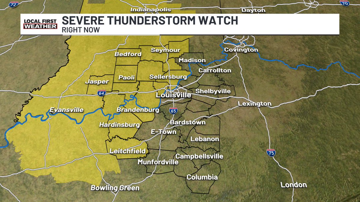
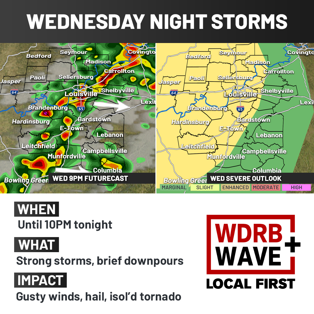
Much of our area has been upgraded to a "Slight" risk for strong to severe storms tonight. Damaging winds still looks like the main threat with any storm that does become strong. We'll be live on Local First on air and online if any warnings are issued.
We'll see plenty of sunshine for our Veterans Day, with highs near 70°. Showers and thunderstorms arrive around sunset; some may be strong with gusty winds and small hail.