As part of our winding down activities, we will reduce our daily weather updates on all communication channels to a new schedule: Mondays, Wednesdays, and Friday releases.
Again, thank you for everyone's continued support to WeatherPhilippines.
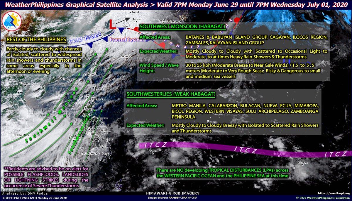
Finally, the long-awaited SW Monsoon (#Habagat) sets in, affecting some portions of Western Luzon. Expect cloudy skies with occasional rain showers & t-storms. *This will be the last and final weather post of WPF. Thank you for your Trust and Confidence. https://t.co/jDsa6mO2hM
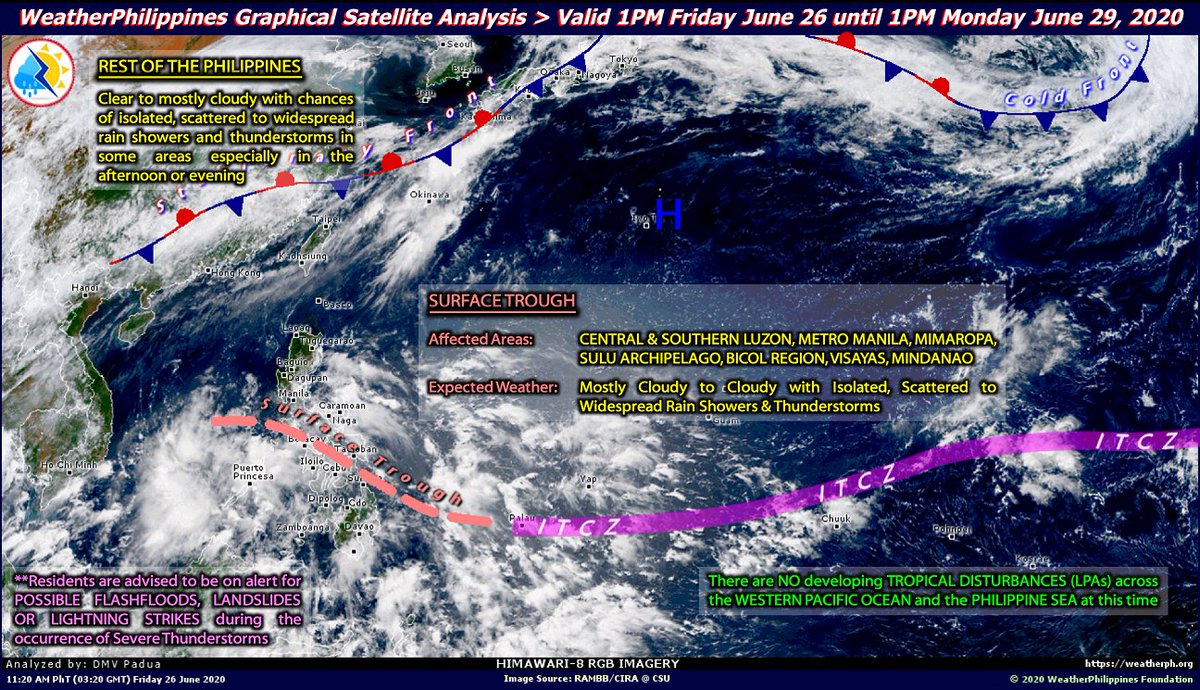
A wide Surface Trough (part of our rainy season) is generating 🌧️⛈️⛈️🌧️🌧️ across 3/4 of the country. Stay alert against flash floods, lightning strikes, and rare waterspouts/gustnadoes during the presence of Severe Thunderstorms. https://t.co/xKjYj6SvZP
Keep safe as always!
The ITCZ returns in Mindanao. Overall, it will be hot and humid, so keep hydrated and make sure to bring your weather gear at all times. For more info, please visit: https://t.co/m7LUECsp5Z #WeatherAlert
Sun & Blue Skies will prevail across the country with some areas having increasing clouds and possible isolated rain showers and thunderstorms later in the day.
For more info, please visit: https://t.co/ZBsYdiP2CQ
Keep safe as always! #WeatherWiser
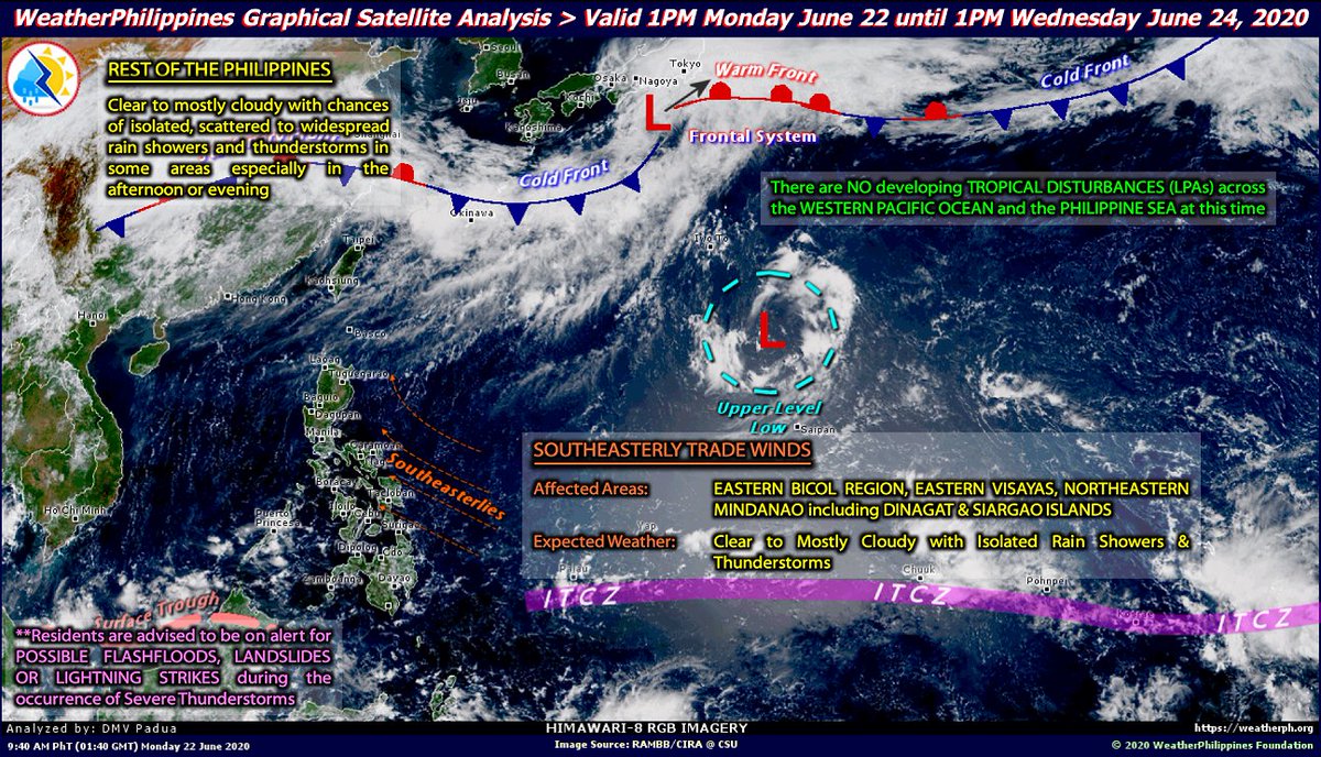
Lotsa Thunderstorms prevailing across the country esp. during the afternoon or evening for the next 3 days. Don't forget to bring your rain gear. Still, no LPAs developing in and out of the Philippines.
For more info, please visit: https://t.co/vvS1YpE63T
Keep safe as always!
As we enter the rainy season, expect more afternoon or evening rain showers and Thunderstorms especially along the areas of Palawan, Visayas, & Mindanao where the InterTropical Convergence Zone (ITCZ) is located.
For more info: https://t.co/GXxRuwpmQa
Stay safe as always!
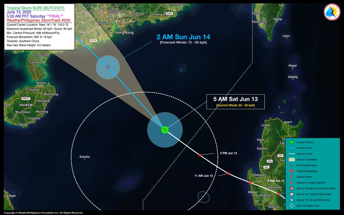
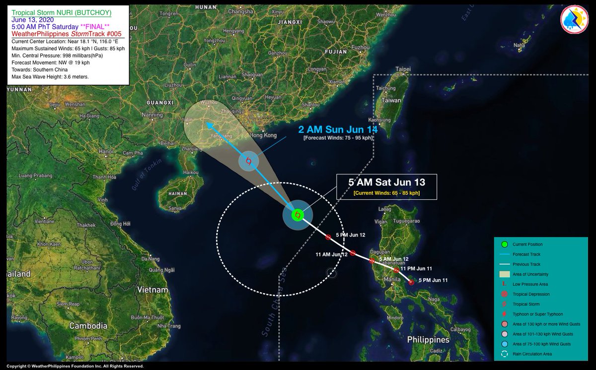
#ButchoyPH exits PAR…now a Tropical Storm (TS) with international name “NURI” (meaning: Malaysian Parrot)…will make landfall over Southern China tomorrow.
*This is the Final Update on this cyclone.
For more info, please visit: https://t.co/cyWNB6OWzH
Stay safe as always! #Nuri
Just as #ButchoyPH is leaving for southern China, and the state weather bureau officially declares the start of the Rainy Season. Overall, improving weather elsewhere. For more info, please visit: https://t.co/j98ABgrMxm #WeatherAlert
TD #ButchoyPH has accelerated west-northwestward while re-organizing over the West Philippine Sea…likely to become a Tropical Storm (TS) and exit the Philippine Area of Responsibiliy (PAR) late tonight.
For more info, please visit: https://t.co/tFoLfMfIFw
Stay safe as always!
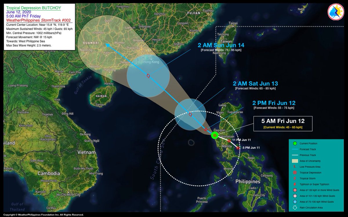
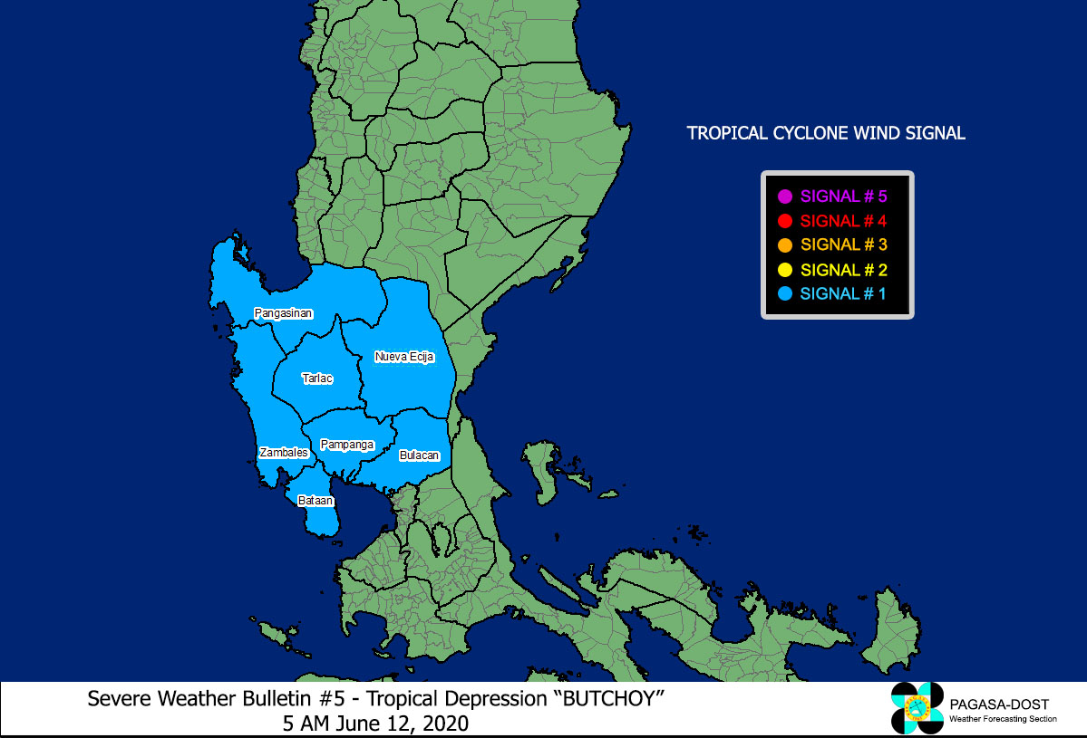
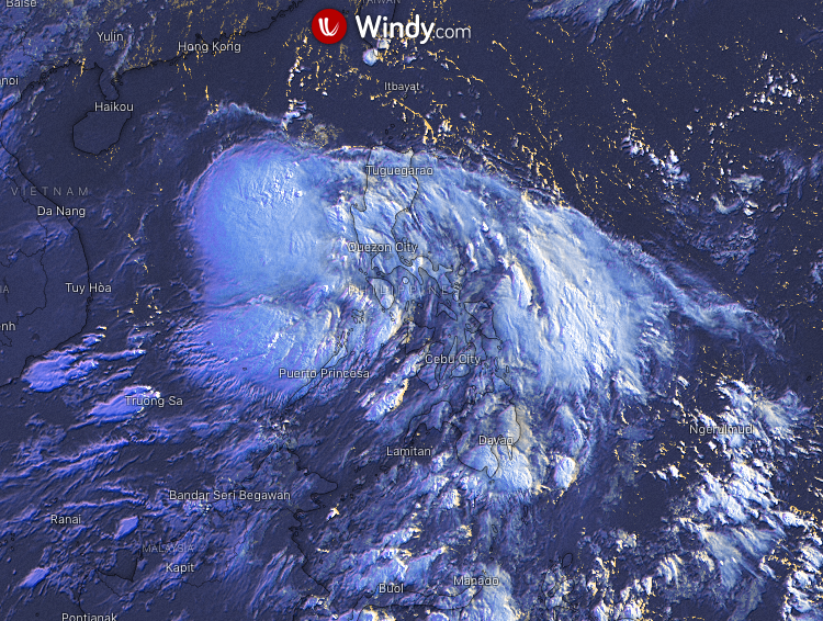
TD #ButchoyPH is now moving away from Luzon as it intensified slightly while over the West Philippine Sea…likely to become a Tropical Storm (TS) later today and will exit the Philippine Area of Responsibility (PAR) tomorrow.
For more info, please visit: https://t.co/rjUEw7njc6
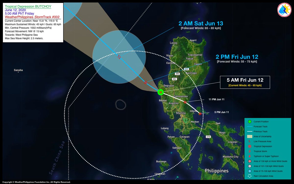
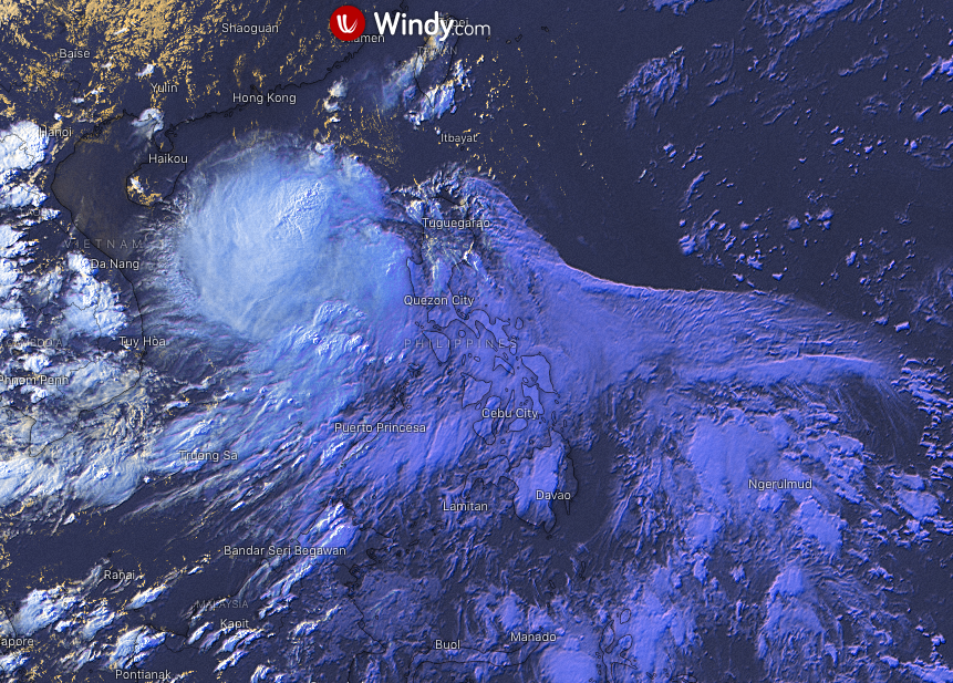
TD #ButchoyPH currently over Northwestern Zambales as it starts to emerge over the West PH Sea…expected to exit the Philippine Area of Responsibility (PAR) by tomorrow, Saturday morning.
For more info, please visit: https://t.co/2hlbXbbkZp
Stay safe as always! #WeatherAlert
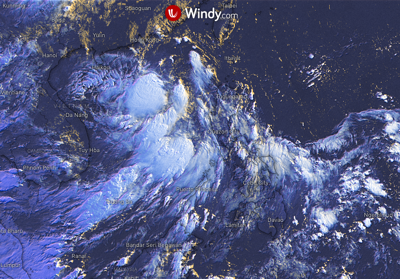
Tropical Depression (TD) #ButchoyPH newly-formed over Polillo Island as it approaches Northern Quezon and Aurora Provinces…expected to cross Central Luzon by early Friday morning.
For more info, pls visit: https://t.co/c01dCHPmOH
Stay safe as always! #WeatherAlert