To all #HeritageMaps users, we would really value your input into the below survey if you could take the time to fill it out! We want to know how we can improve it.
https://t.co/zNbMbRCYyT
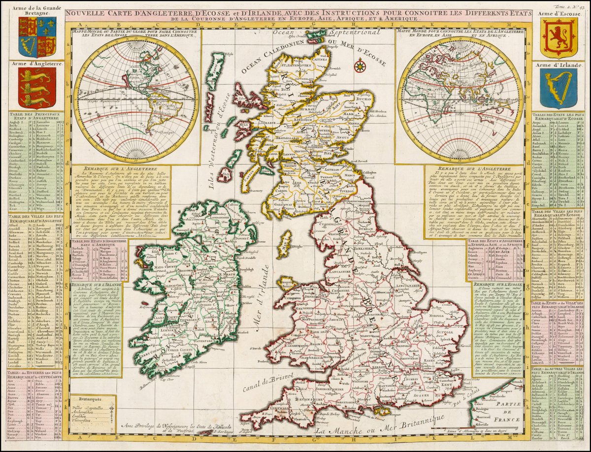
Today's #MondayMappery, from 1719 @BarryRuderman, refers to our Three Sisters rivers as the Barrieu Flow, the Nura Flow and sadly, the Sewer Flow! See globe on top left is without North America, an unknown frontier at the time. Map in hi-res https://t.co/7YykLU9toH
The Heritage Council needs you! If you use our #HeritageMaps page, please take 5 minutes to fill out this survey. We would love to hear your thoughts on how we can improve it.
https://t.co/Cp3HRW73H6
https://t.co/ZrnygyJFuv
GHF member Pat Reid @WicklowWillow has been talking to the media about the appalling vandalism of the Deer Stone at Glendalough. Tx Pat.
Its really hard to imagine how someone comes to do this - it would take real effort.
RTE 1/
https://t.co/KZc9wedtcq
"It has sat here for well over a thousand years and has never suffered such damage."
Heritage experts fear lasting damage may have been caused to a centuries-old monument known as the Deer Stone in Glendalough, Co Wicklow.
Read more: https://t.co/RprBOtdba8
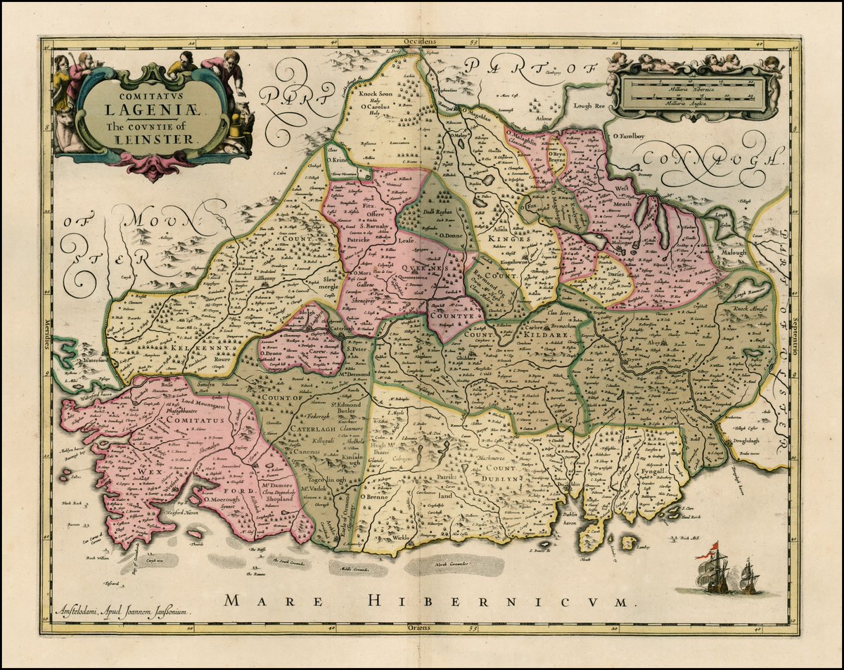
This week’s #MondayMapperyfeatures Jan Jansson’s ‘Comitatus Lageniae - The Countie of Leinster’ published in Amsterdam in 1670.
Have a look at the county boundaries and spot the missing county and the now lost county.
This map appears courtesy of @BarryRuderman
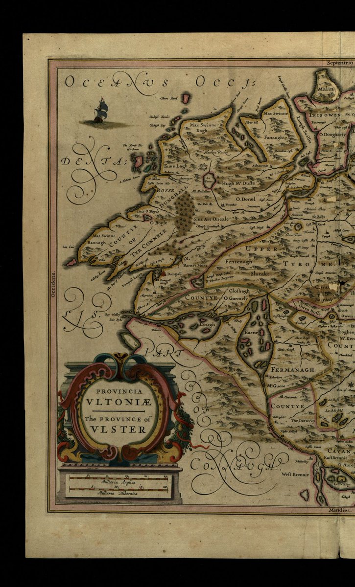
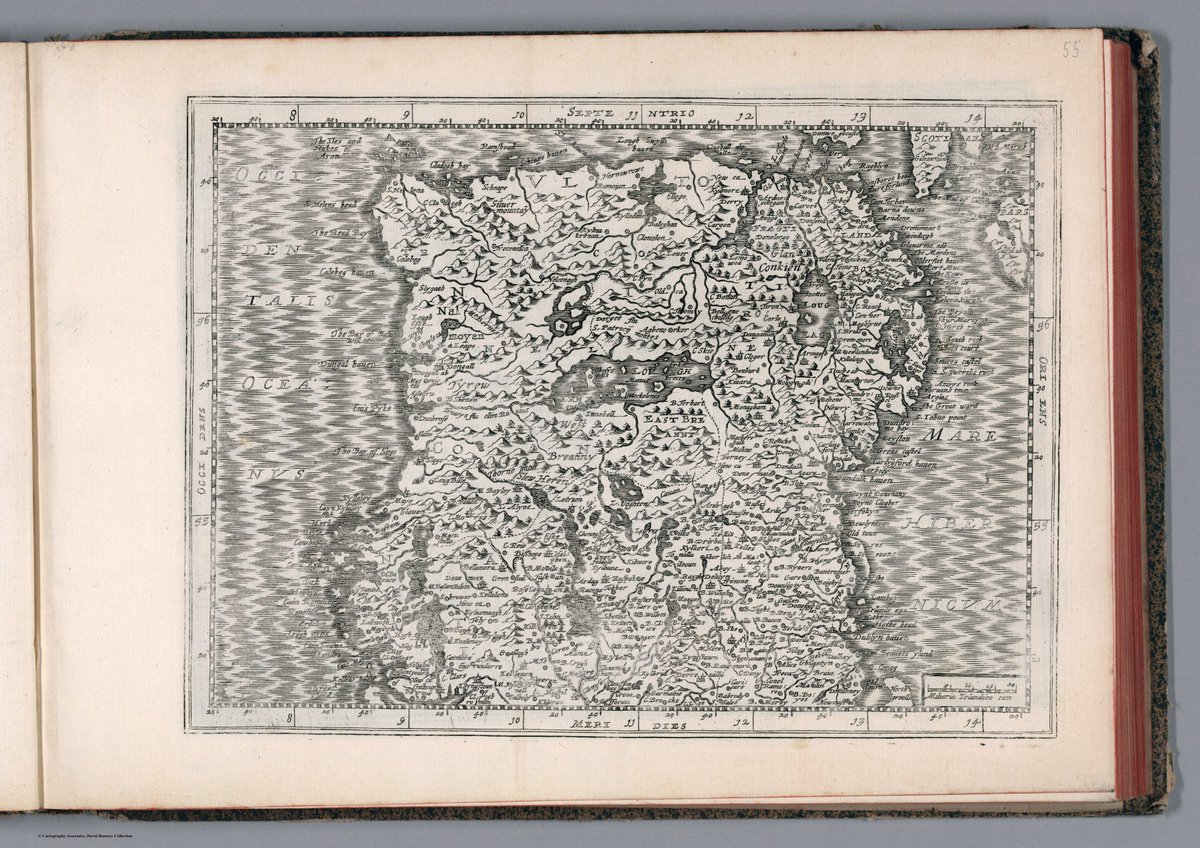
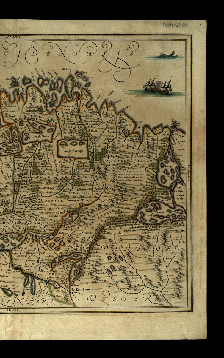
For this week’s #MondayMappery we take a look at Joannes Janssonius's maps of Connacht & Ulster published in 1636.
🔎Check out the place & clan names
View in hi-res at https://t.co/N5DZHefpFV
This map appears courtesy of the Oireachtas Library & Research Service #HeritageMaps
Take your skills to the next level with the All-Ireland #HeritageSkills Programme⚒️
8 bursaries are on offer for those studying/working in stonemasonry carpentry joinery bricklaying blacksmithing plastering thatching roofing tiling painting or décor
See https://t.co/eDSlInpgE4
The latest edition of #MondayMappery features a map of Ireland ‘Irlandiae Regnum’ drawn in 1636. These are the Janssonius versions of Mercator��s reworked map published in Amsterdam in 1673.
This map appears courtesy of @DavidRumseyMaps @Stanford
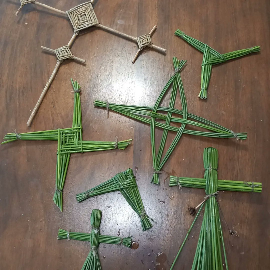
A link to a schools resource pack we created for a commission from Kildare https://t.co/JKXnC8Qp5z. for the upcoming Brigid1500 festival.
Learn the Legends of St. Brigid, how to make BRIDÓG Dolls, Brigid's crosses and all about Pollinators!
https://t.co/EdYpCxZto9
SHARE!!
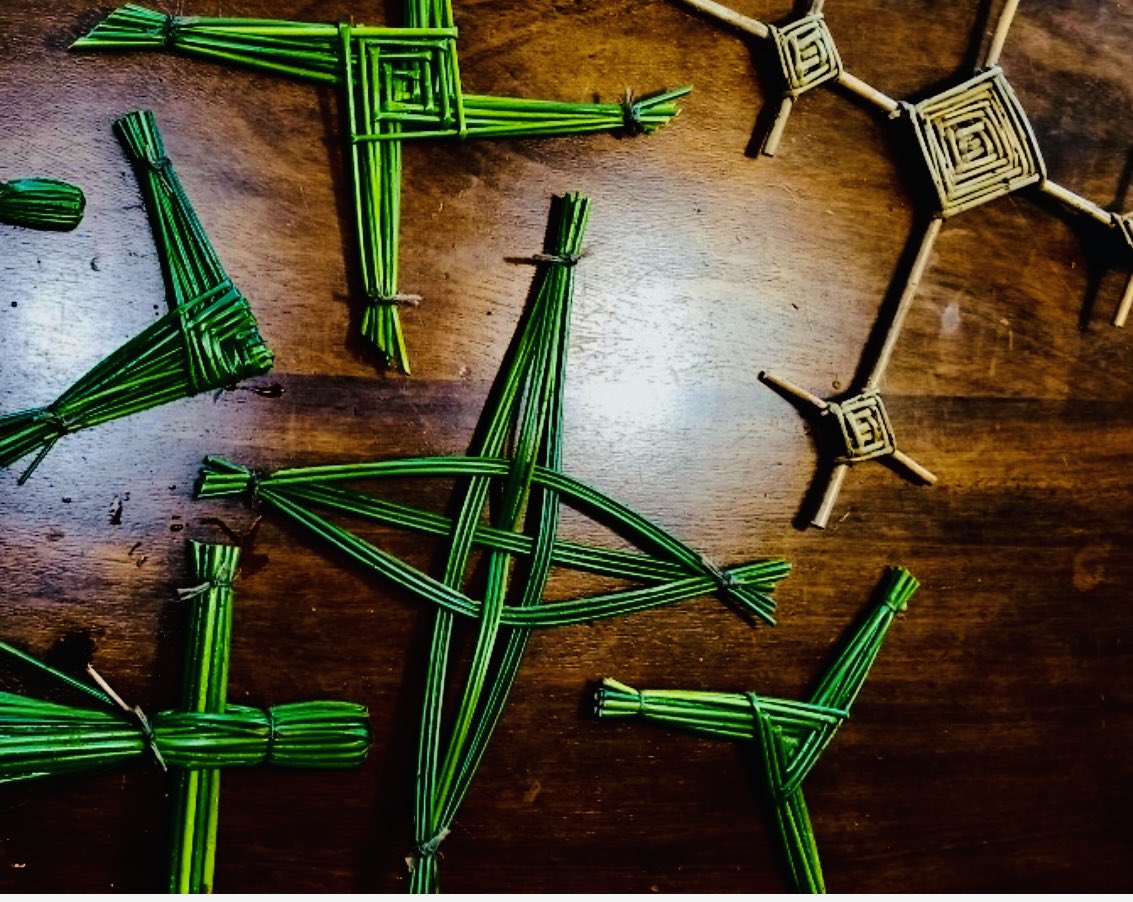
Celebrate St Brigid’s Day traditions with us
Sunday 5th & Monday 6th February, Aoife from Wicklow Willow, our local weaving expert, will join us for St Brigid’s cross demonstrations
Make it a date for your diary!
#visitwicklow#tradition#stbrigidscross#StBrigidsDay
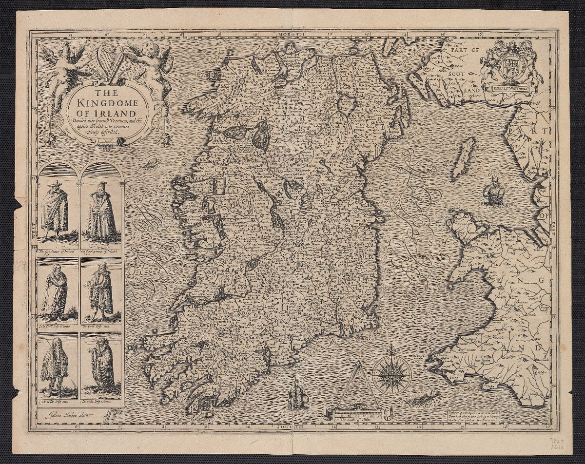
Its #MondayMappery from https://t.co/aBJru3h5o9. This week the John Speed 1610 map ‘The Kingdome of Irland Devided into Severall Provinces, and thé againe devided into Counties. Newly described.’
This image is courtesy of @BeineckeLibrary. View here: https://t.co/CMYTTfG0Jf
Wicklow Willow Vouchers - Now on Sale - The Crafty Way to Gift!
New Courses Date for 2023 Released This Week!
Get over to https://t.co/yrPpUVfZ3q Now!!
Happy Christmas from Us to You!
Wicklow Willow Vouchers - Now on Sale - The Crafty Way to Gift!
New Courses Date for 2023 Released This Week!
Get over to https://t.co/yrPpUVfZ3q Now!!
Happy Christmas from Us to You!
Thatching of our early medieval roundhouse in oaten straw at UCD Centre for Experimental Archaeology & Material Culture (CEAMC) progresses. Jimmy Lenehan is both a professional thatcher and an archaeologist, so lots of interesting ideas and chats