SKYWARN Self-Activation with Amateur Radio Call-Up Nets possible if SKYWARN reportable criteria is met and/or severe tstorm warning is issued from 6-11 PM Sunday Evening for severe weather potential. Potential contingent on key factors listed in latest msg. See https://t.co/5IsEKsrXUk for info. #mawx #riwx #ctwx
SKYWARN Self-Activation with Amateur Radio Call-Up Nets possible Sunday Evening 6/14/26 anytime after 6 PM for severe weather potential with the greatest risk across Western/Central MA/most of CT but areas as far east as RI and interior NE MA should monitor. See https://t.co/kd7hVCoi9r for info. #mawx #riwx #ctwx
Monitoring for a severe tstorm warning for southwest hartford county CT til 745 pm - looking for reports in the Burlington, Bristol, Southington CT area for wind damage, hail, flooding. #ctwx
SKYWARN Self-Activation with Amateur Radio Call-Up Nets possible for isolated to scattered strong to severe tstorms Friday Evening. See https://t.co/HPJIReF9MQ for info. #mawx#riwx#ctwx
SKYWARN Self-Activation with Amateur Radio Call-Up Nets possible for severe weather potential on Thursday 6/11/26 and Friday 6/12/26. Intense Heat and Humidity also expected over these next 2 days. See https://t.co/fh2aKEPfUZ for info. #mawx#riwx#ctwx
@PeteNBCBoston@tuckerweather@jreineron7@1DegreeOutside@DominicBrownTV@WX1BOX
North Weymouth's weather summary for Wednesday June 10 2026 328pm
A warm and humid day here today in North Weymouth with a max temp of 89F and a feel like temp of 92F..Our dewpoint a muggy 69F...Hydrate hydrate hydrate folks!
We had no precip this morning... Our low was 60.3F
Box spotter 16-666 CWOP FW2861
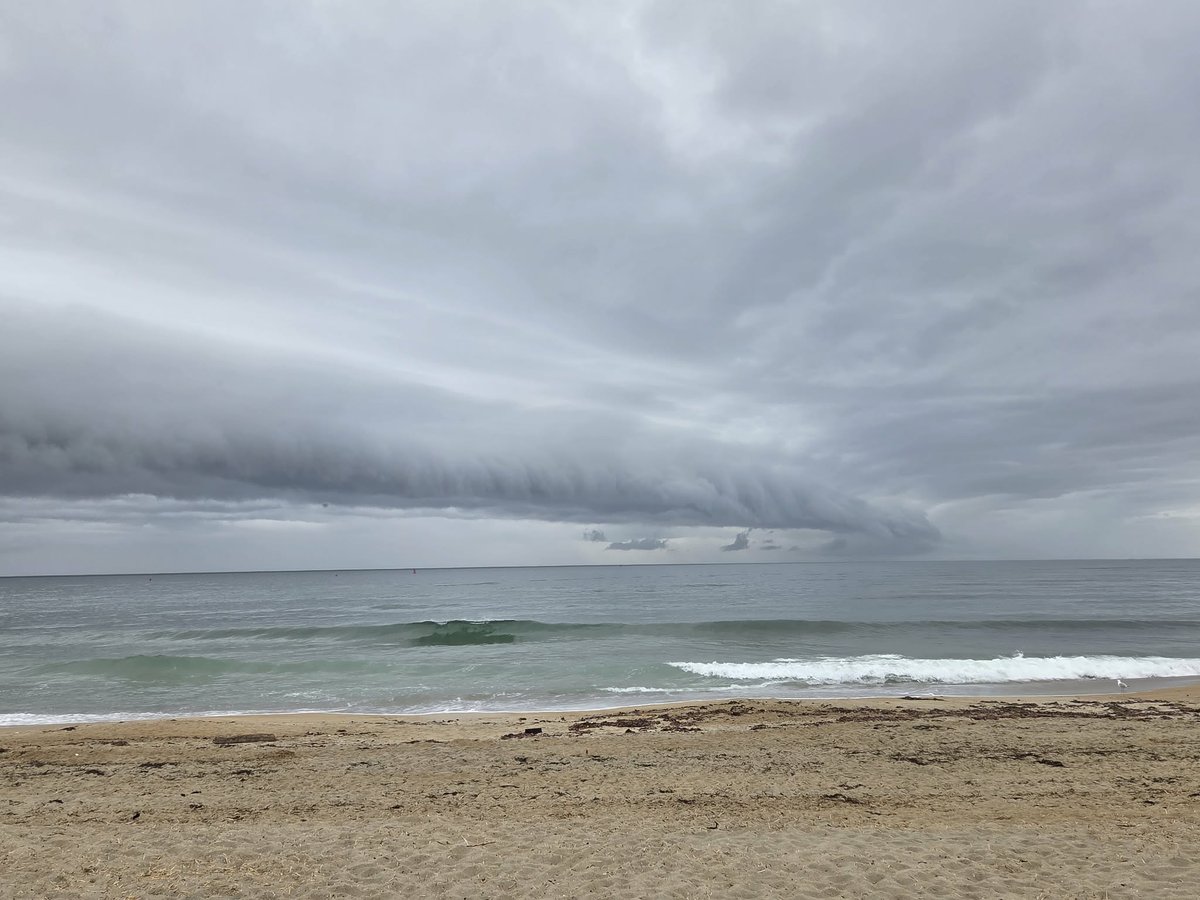
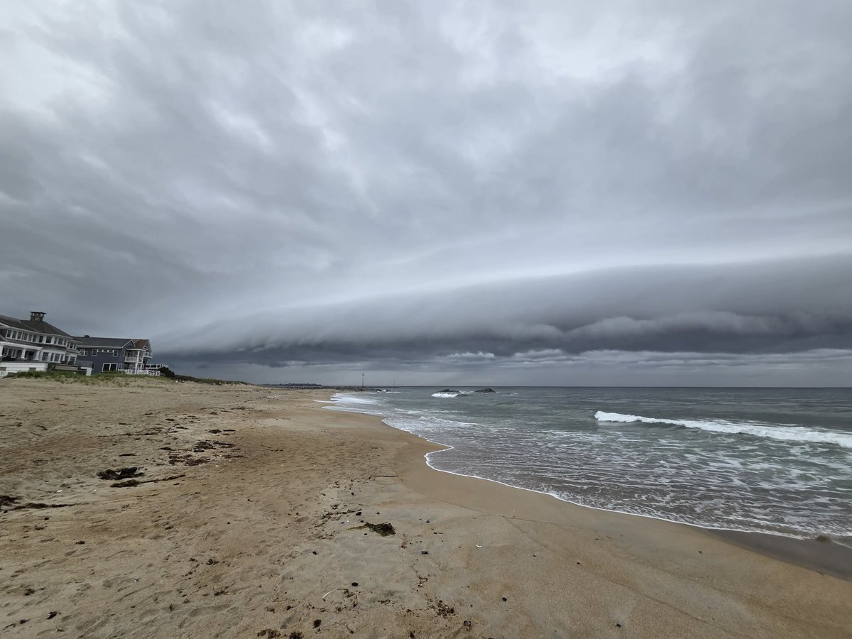
SKYWARN Spotter & Storm Chaser Rich Hamel shared these shelf cloud photos from Sunday 6/7/26 at 530 PM in the Seabrook/Hampton NH beach area. #mawx#nhwx
SKYWARN Self-Activation will monitor isolated to scattered strong tstorms with small hail and brief strong wind gusts with an outside chance for an isolated severe tstorm between 2-9 PM Sunday PM/Evening across Central/Eastern MA/RI but all areas should monitor. See https://t.co/0CDKnHx0Dm #mawx #riwx #ctwx
Some branches down in Grafton MA with the earlier severe thunderstorm warning where Worcester Airport ORH gusted to 51 MPH and a tree was blown down blocking the road in the area of 2 Millbury street in Auburn, MA. #mawx
@WX1BOX some decent sized branches down on north street along with much of road all the way from there to train station littered with small branches and a bunch of leaves down.
Nothing major tho as gusts 30-40+mph rolled through.
Would say severe gusts were likely reserved when lightning peaked and velocity on radar in western parts of the county.
Gusts were notable out ahead and backside of the precip.
Grafton, MA
#mawx
Severe tstorm warning for southern hartford, southern tolland and southern windham counties CT til 815 pm. Monitoring for reports of wind damage, hail, flooding. #ctwx