There was much discussion about subsidence zones on the colder (WNW) side of snowbands during the recent blizzard. But you may still be wondering "why does it occur on that side of the band specifically?" Well, the answer has to do with the dynamics of frontogenesis:
Irrespective of the exact track, this weekend's coastal storm will be an impressive release of baroclinic instability as an arctic airmass clashes with subtropical ocean warmth.
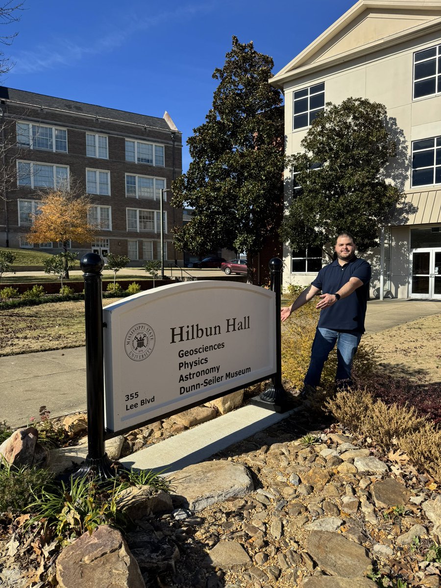
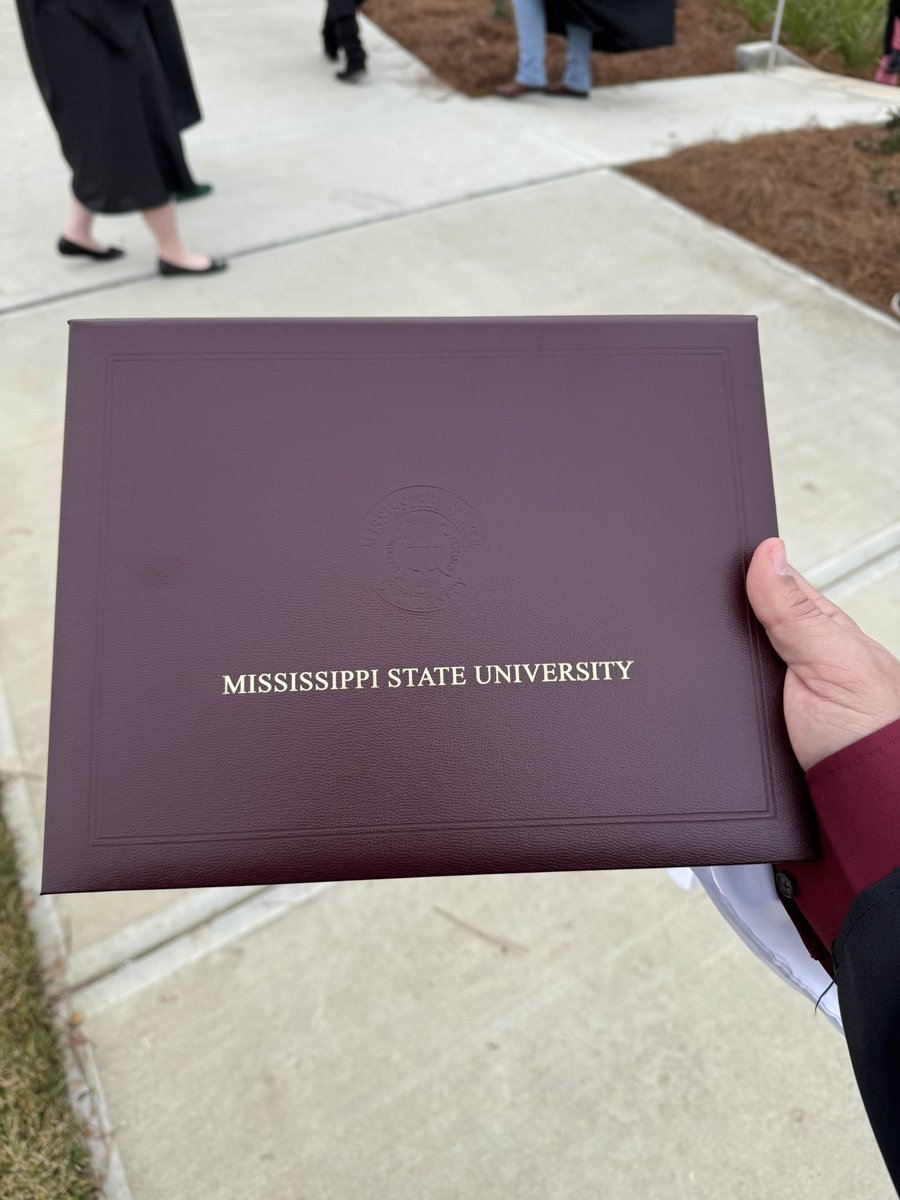
I’m very proud to announce that I got accepted into the Applied Meteorology M.S. program at Mississippi State University. I feel extremely grateful for this new opportunity to continue my studies in meteorology at graduate level.
Big thanks to the MSU Department of
Geosciences.
NYC today is a great example of the difference between the Eulerian and Lagrangian time derivatives. A stationary thermometer measures decreasing temperature, but another thermometer drifting by with the wind would measure an increasing temperature (and both would be correct!)
Bumpy ride into Hurricane #Milton on @NOAA WP-3D Orion #NOAA43 "Miss Piggy" to collect data to help improve the forecast and support hurricane research.
Visit https://t.co/0W0v11Anw1 for the latest forecasts and advisories
Visit https://t.co/YJcjym2smS for information that you can use before, during, and after the storm
🎥Credit: Nick Underwood, NOAA
Latest data from recon confirms that #Milton is once again an extremely dangerous Category 5 hurricane
We'll have to see how resilient the core of this storm is as shear begins to increase tonight
The cirrus clouds that were obscuring the eye of #Milton have since dissipated as temperatures within the core continue to warm.
Very curious to see what recon finds in a little while
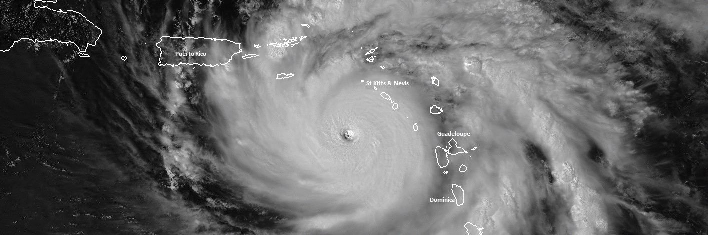
A jaw-dropping, high resolution view of Hurricane Milton's powerful, small eye.
This 30-second imagery from GOES-19 is preliminary and non-operational.